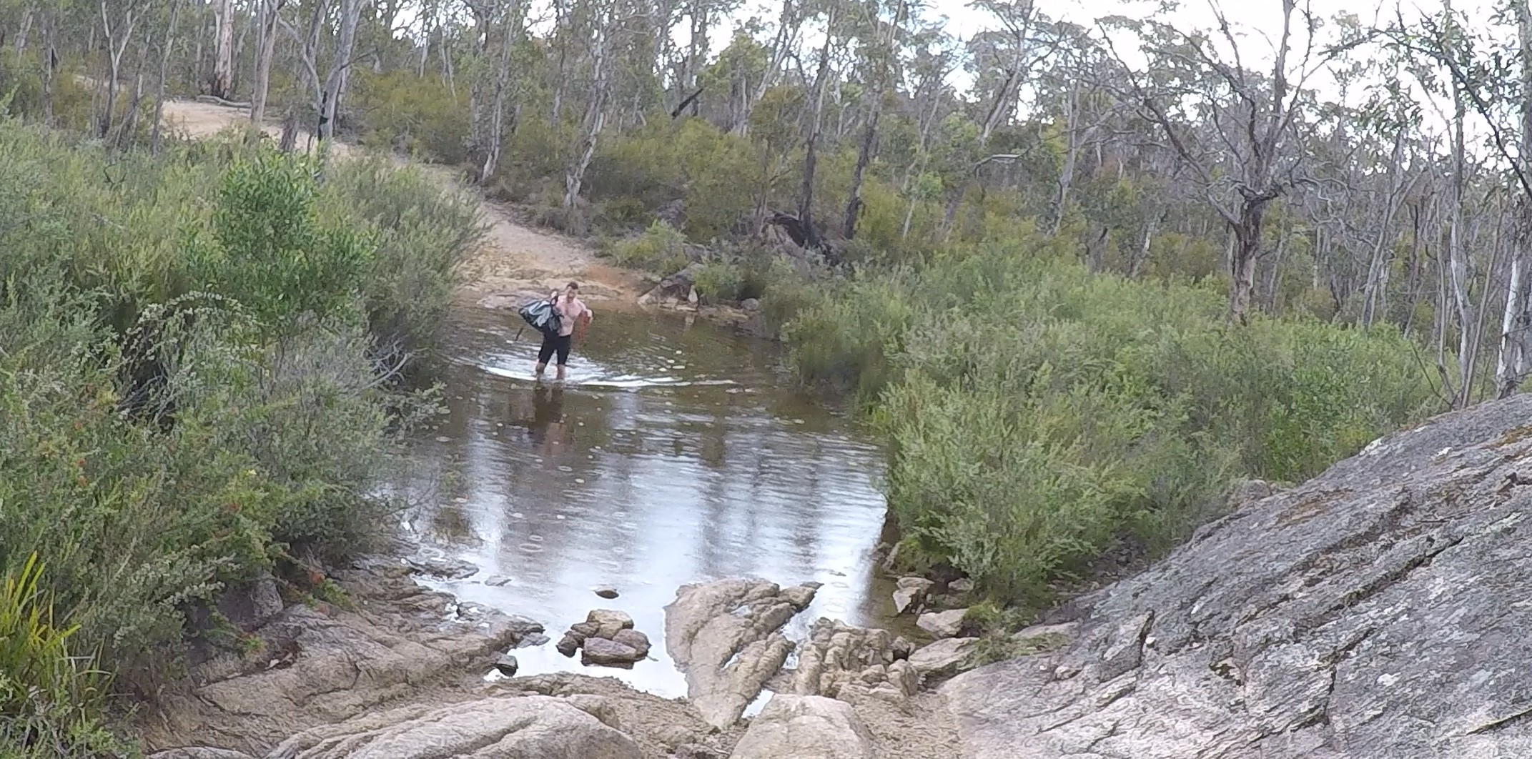
“The tracks buckle in this heat,” he said. I was sharing one of my 6 icy poles with a guy who worked for the Sydney trains that I met at the supermarket. I cycled from Goulburn to Mittagong to avoid cancelled trains, and then to Albion Park for the same reason. I didn’t buckle in the heat, however.
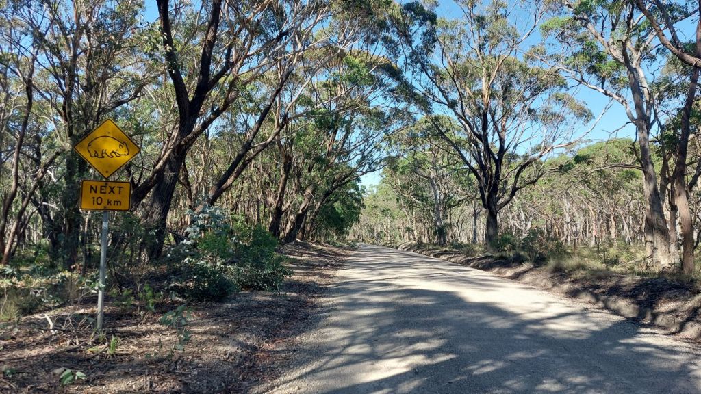
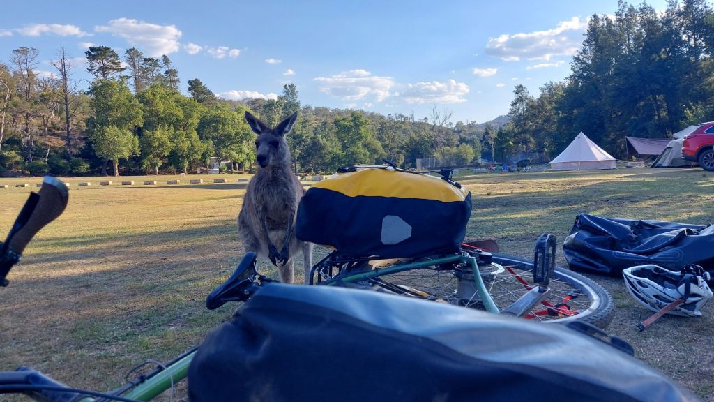
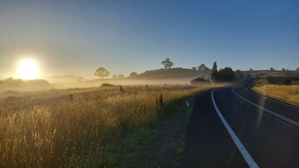
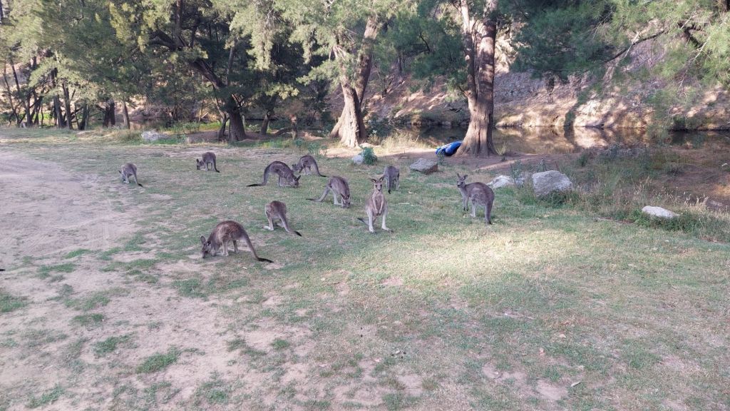
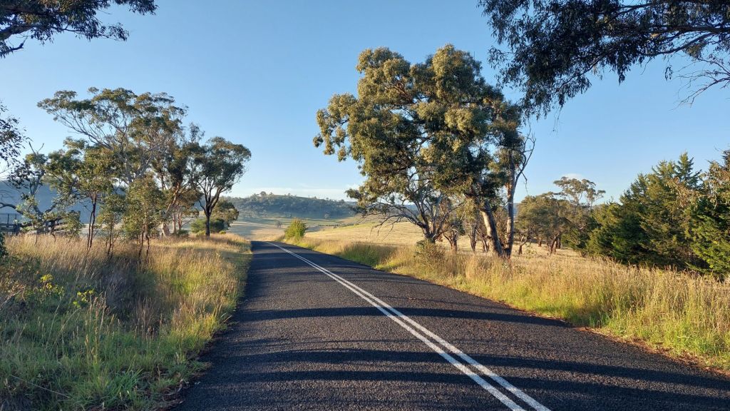
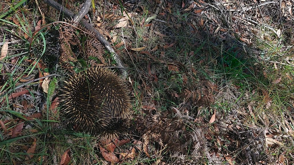
Today where I was, it got to the high 30s. On the coast it hit 43C. No wonder the train tracks buckle. It didn’t feel too hot cycling however. I had a nice breeze, and a cute echidna to look at.
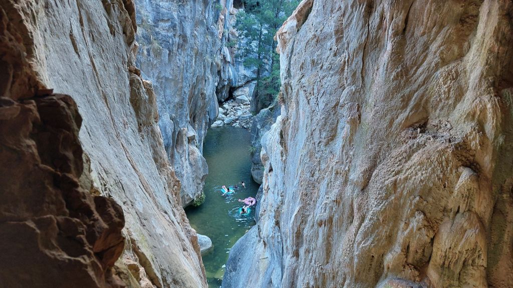
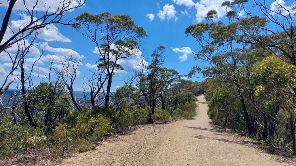
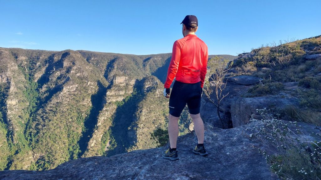
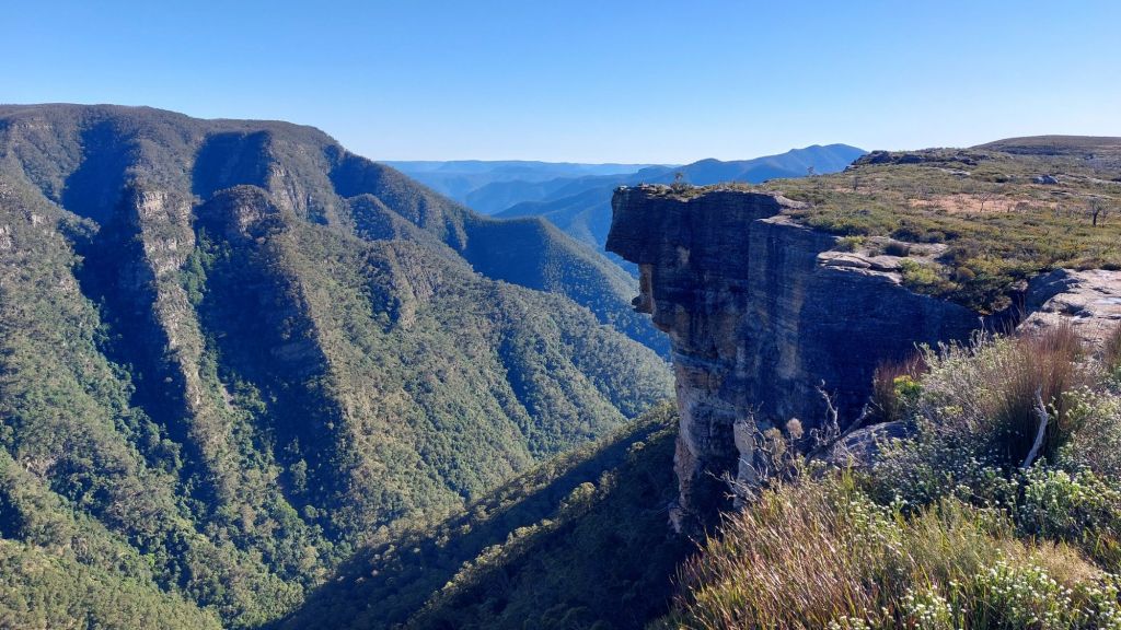
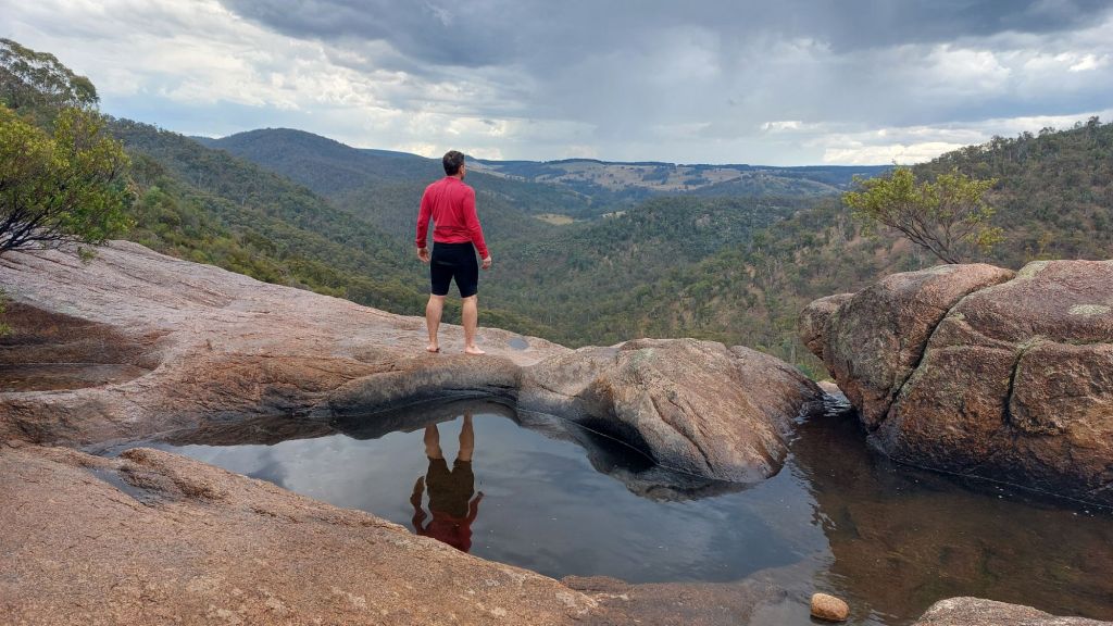
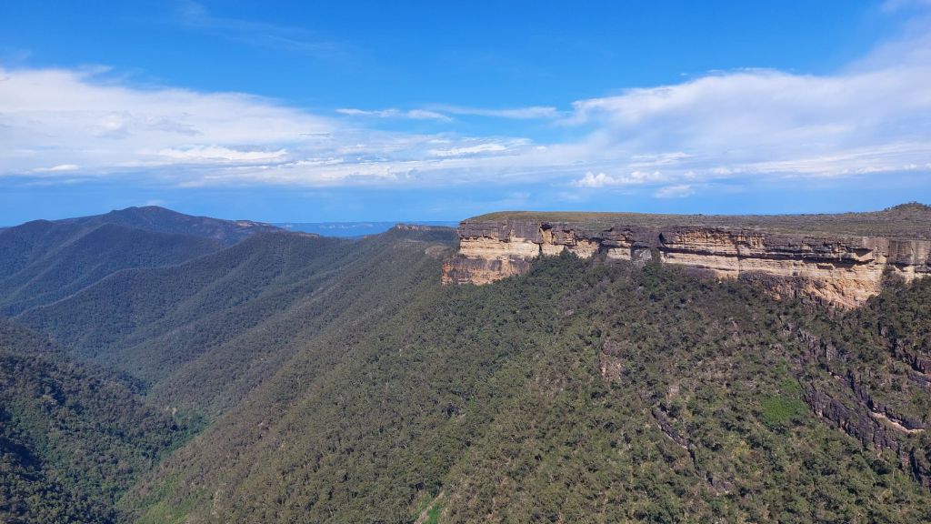
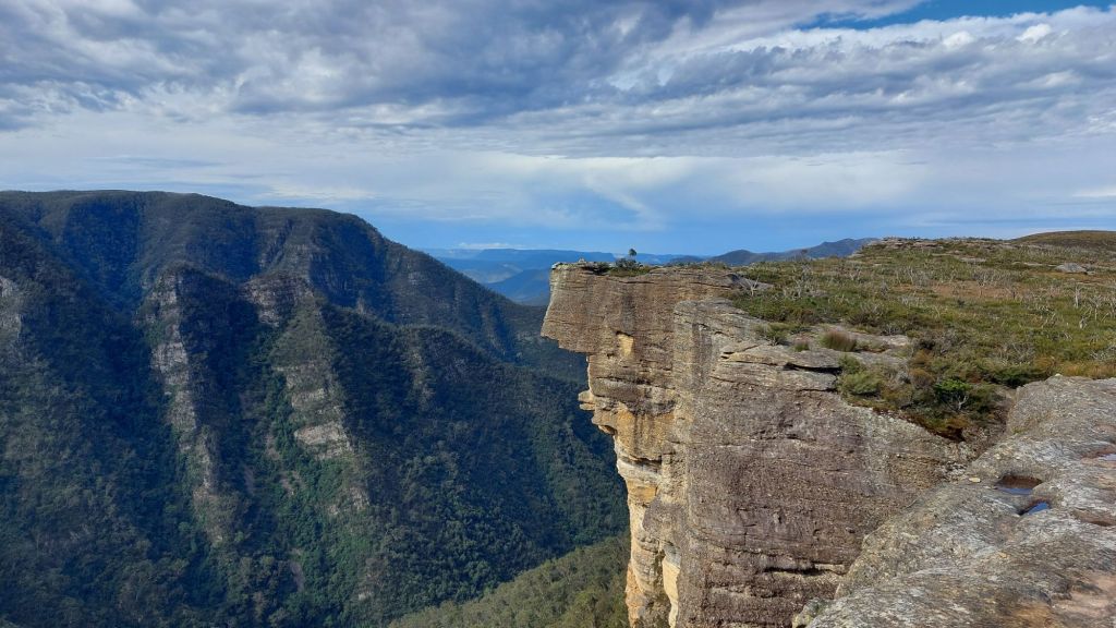
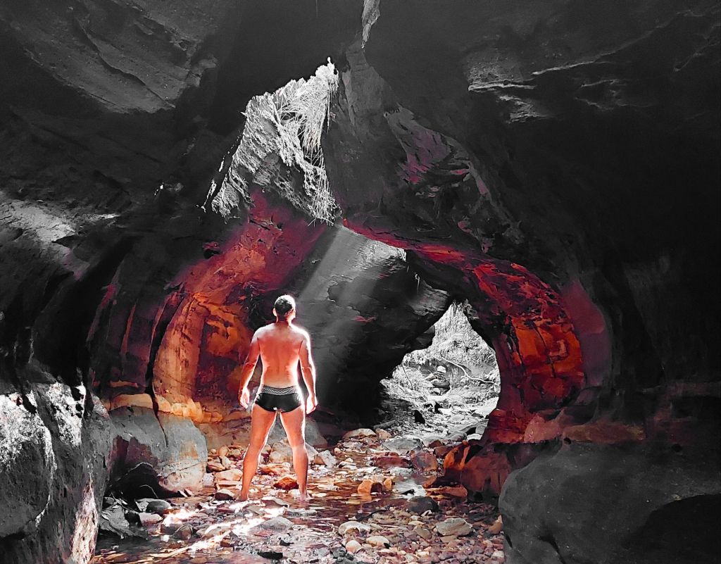
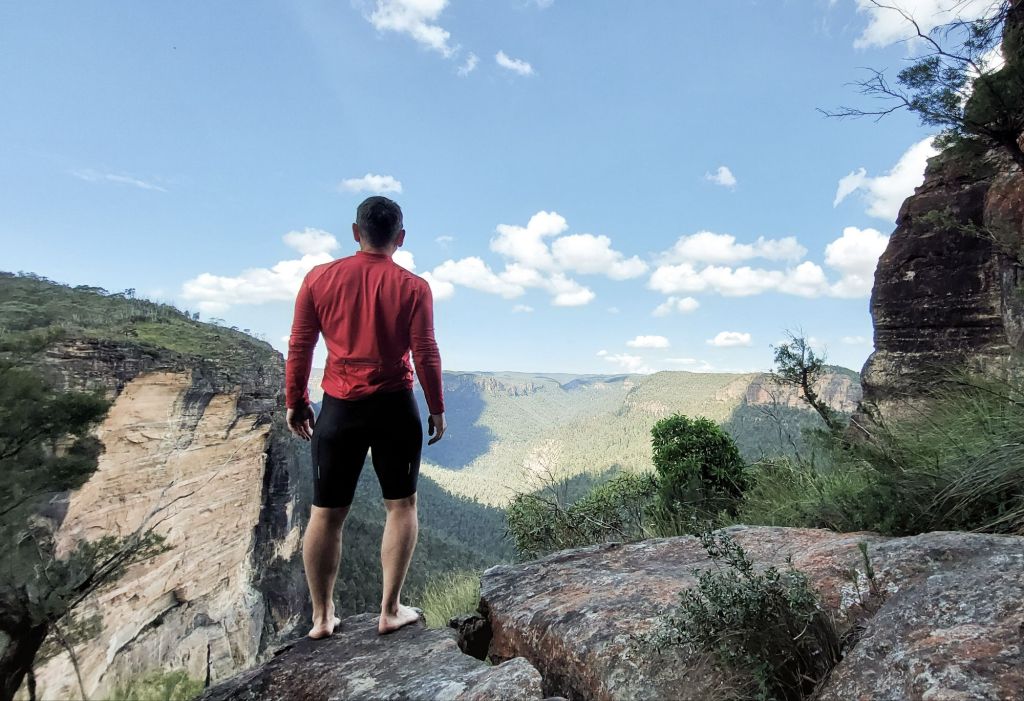
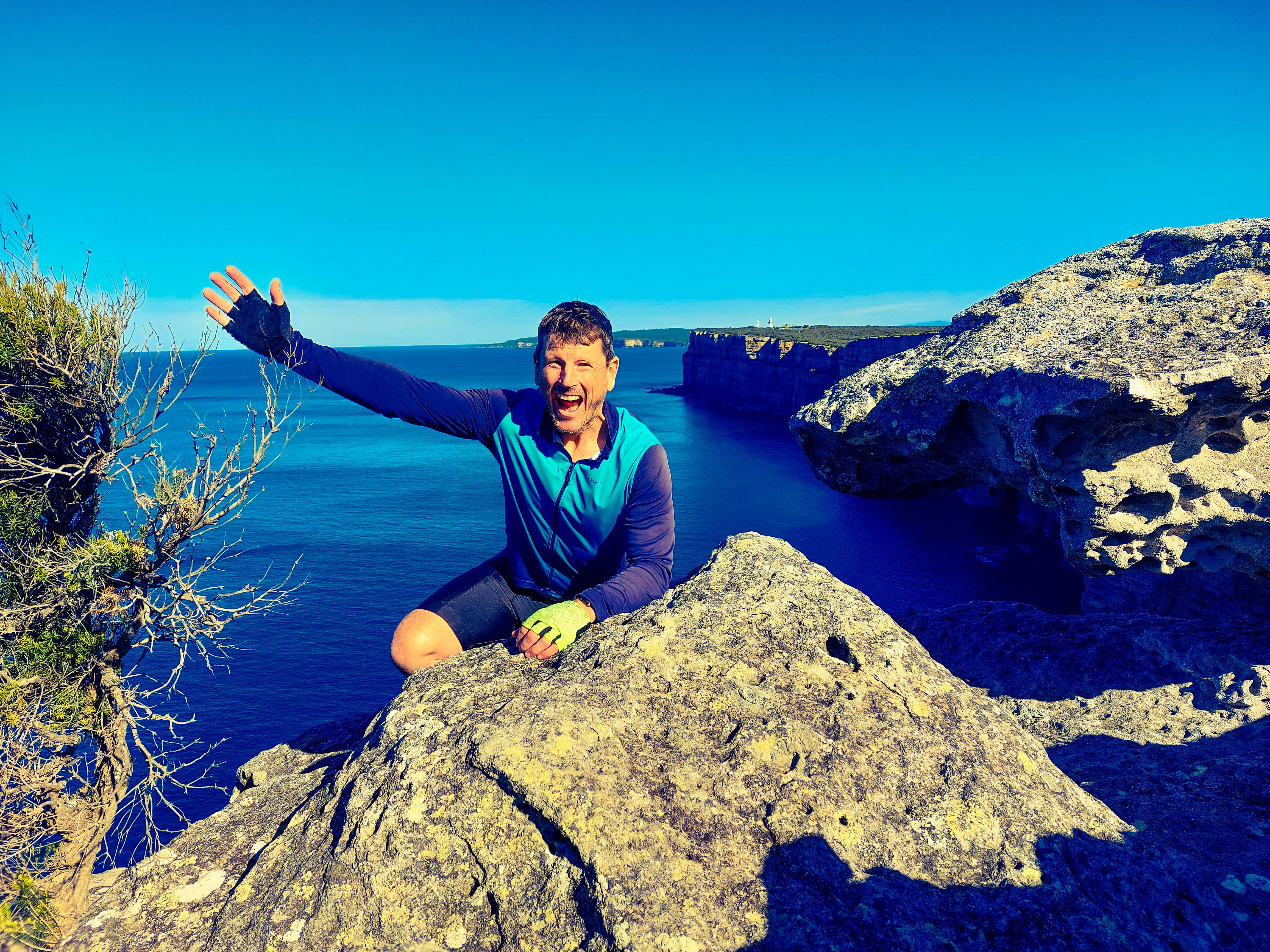
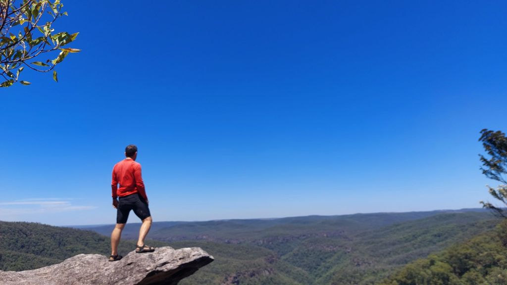
At Bundanoon I took a little detour to one of my favourite lookouts – Bonnie View lookout. I was the only one there – everyone else was in the cooler cafes in Bundanoon.
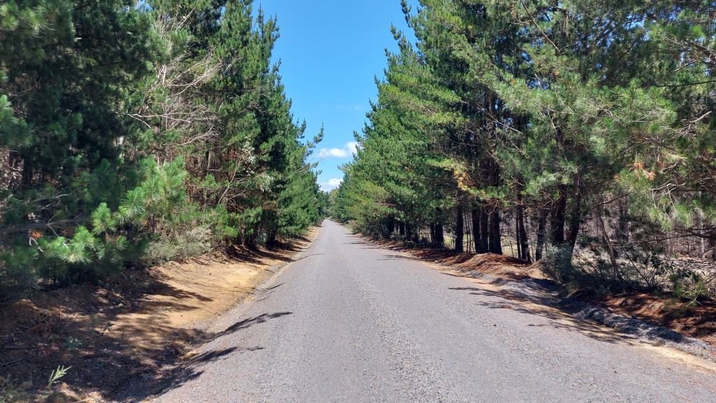
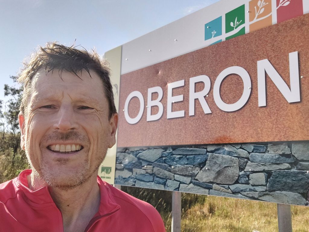
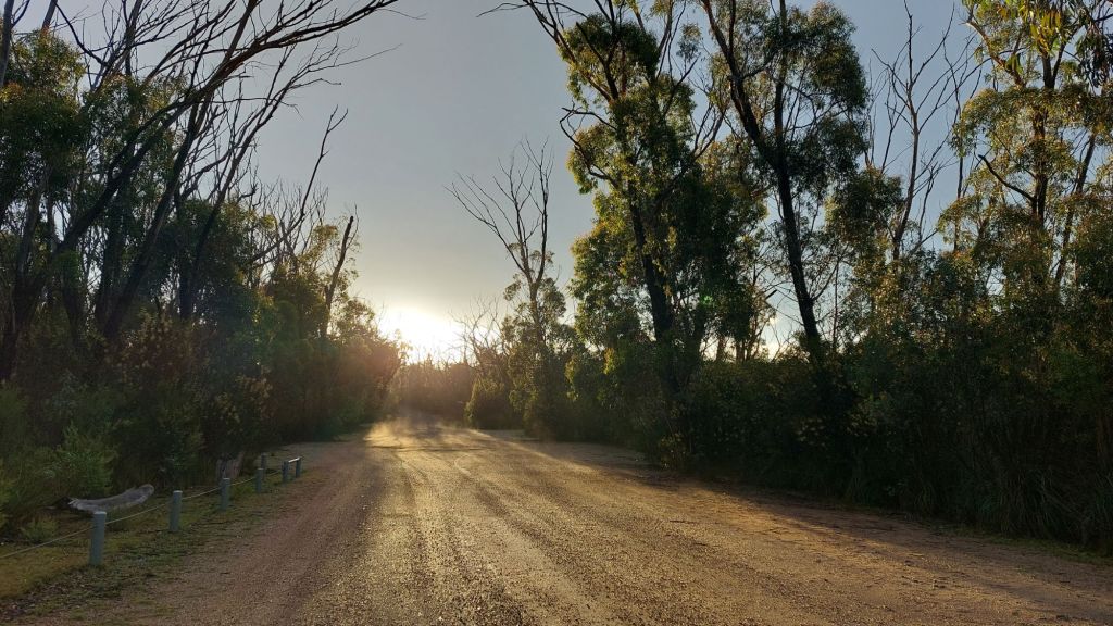
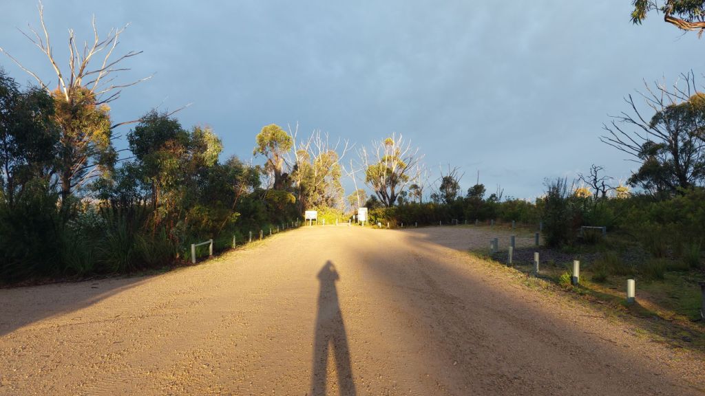
When I planned the whole trip, there were trains running from Goulburn – so Goulburn was going to be my end destination. When I got there, I saw that they had planned trackwork (which wasn’t planned when I was making my plans), and that I needed to cycle to at least Moss Vale. The afternoon trains from Moss Vale got cancelled – one after the other (with about an hour between each cancellation). I guess they realised that the repair work was going to take longer than expected. I rang the trains people to find out how I was going to get from Moss Vale or Mittagong (I had cycled a few stops further to Mittagong) back home. No luck. The trains were cancelled and there were no replacement busses. After much deliberation, I decided to continue on to Albion Park on the coast to catch a train that WAS running. Leaving at 5pm from Mittagong, the sting had left the sun, and it was a pleasant ride.
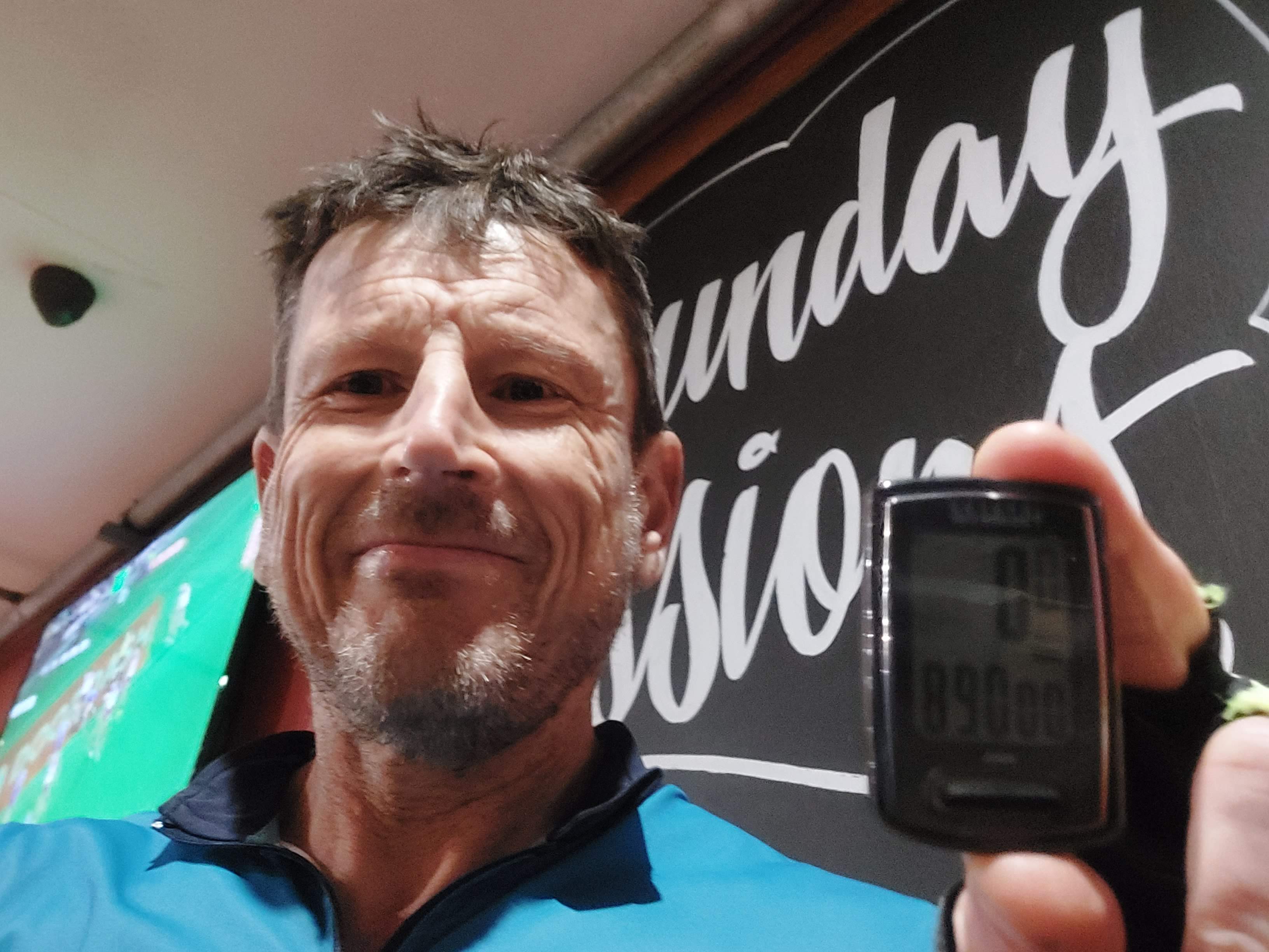
I am quite happy with today’s achievement of 155km (with the heat and mountainous landscape). In fact, I am happy with the whole week’s cycle. I have seen some beautiful places and pushed the limits of this 54 year-old body and 1 year-old bike (well – actually the bike’s brake pads). Sydney has some beautiful places to visit in its back yard.
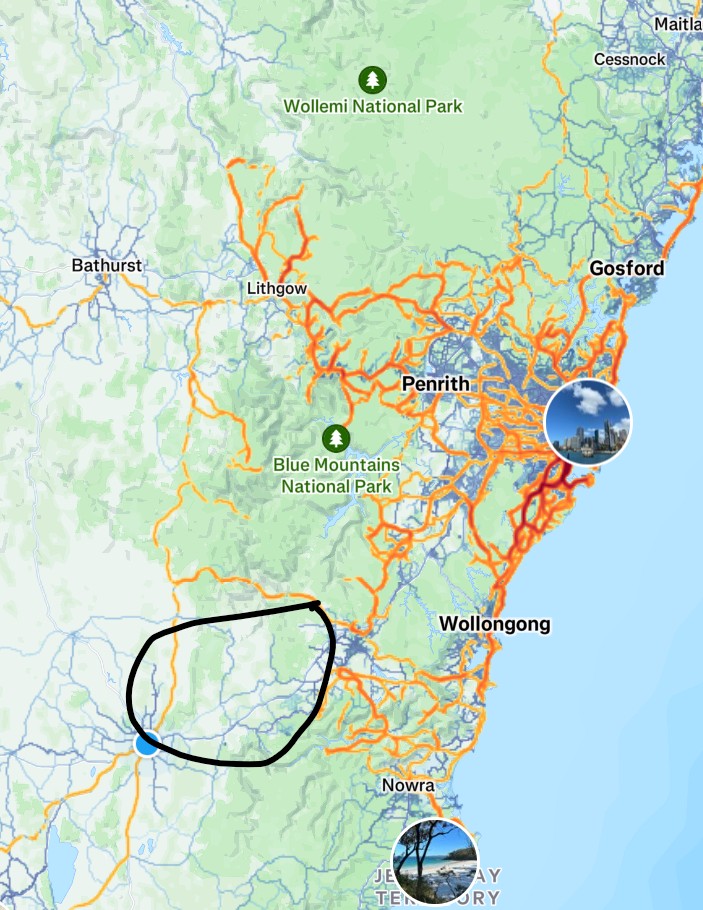
This is the whole week’s cycling route.