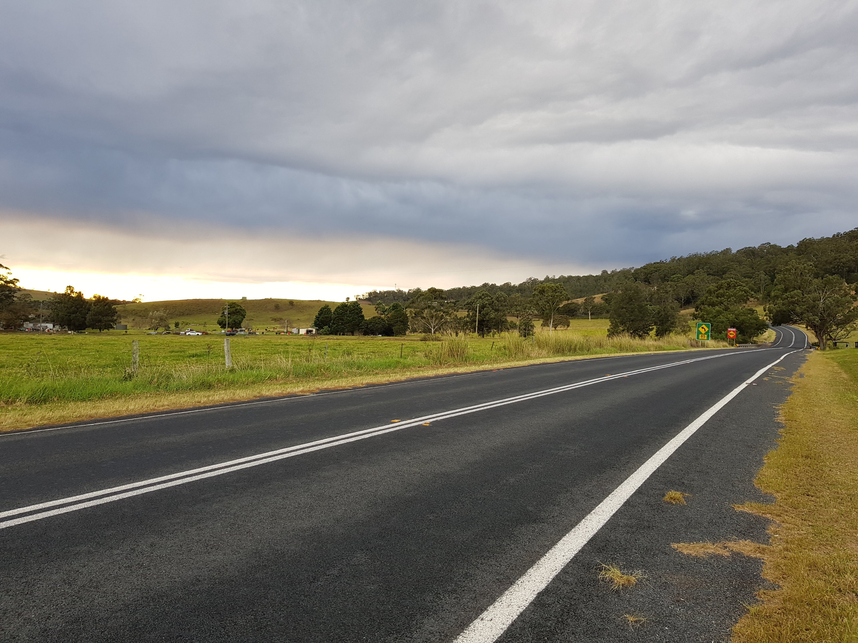
Our three day hike up a glacier and onto an ice sheet started and ended with a walk of about 4 hours across our now very familiar bay, to our ‘advanced base camp’ at the foot of a glacier at opposite side of the Petunia Bukt.

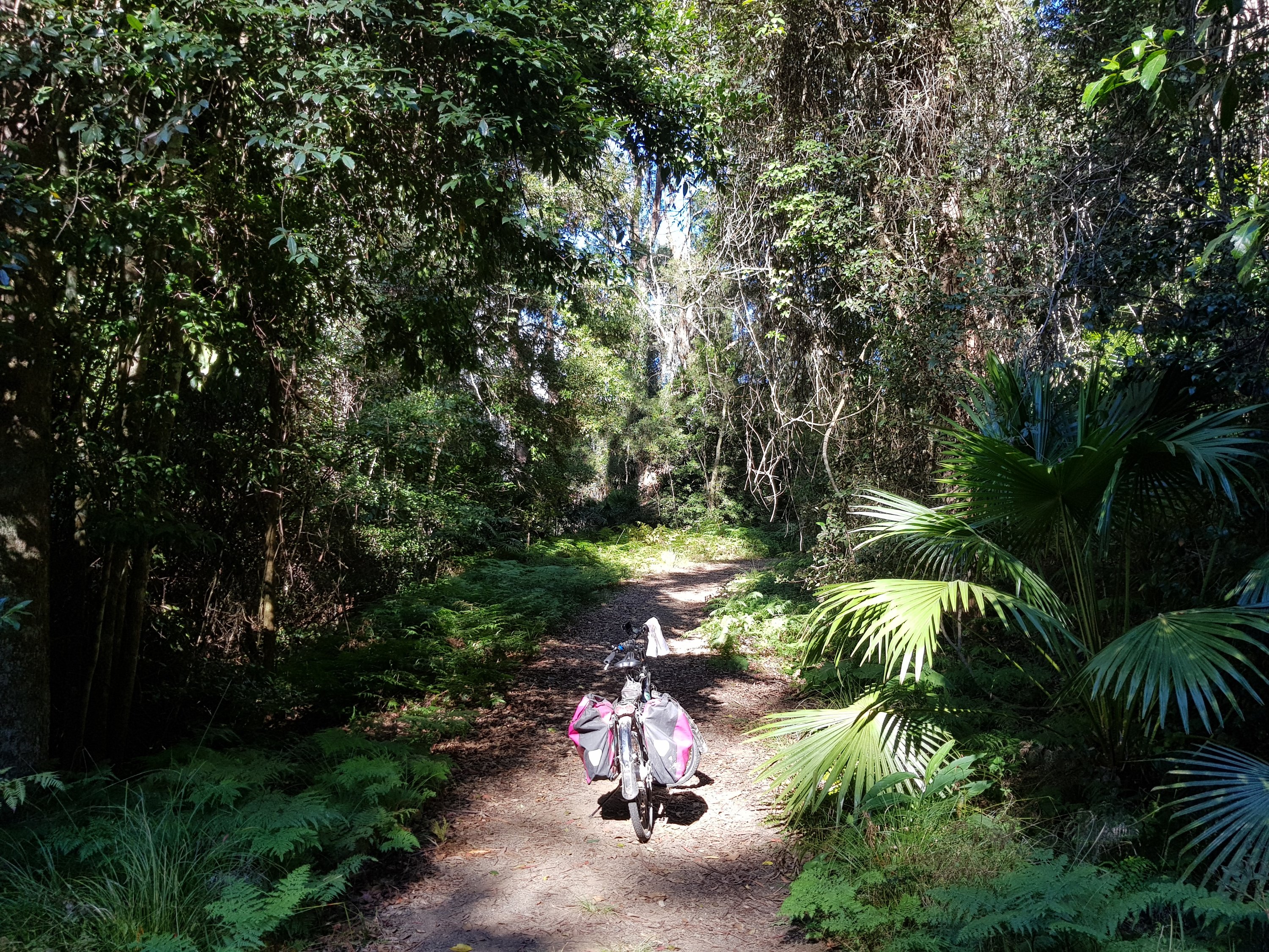
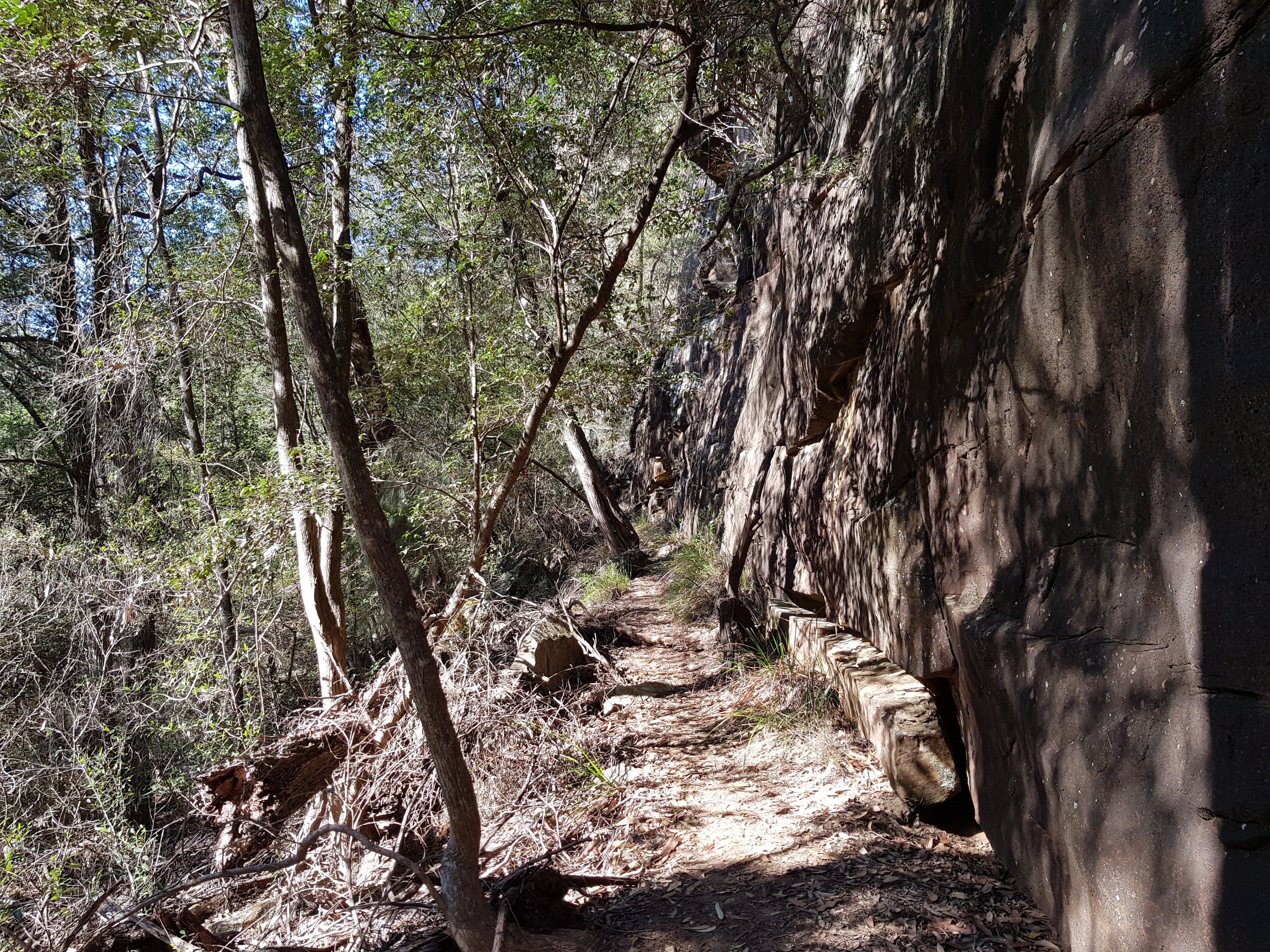
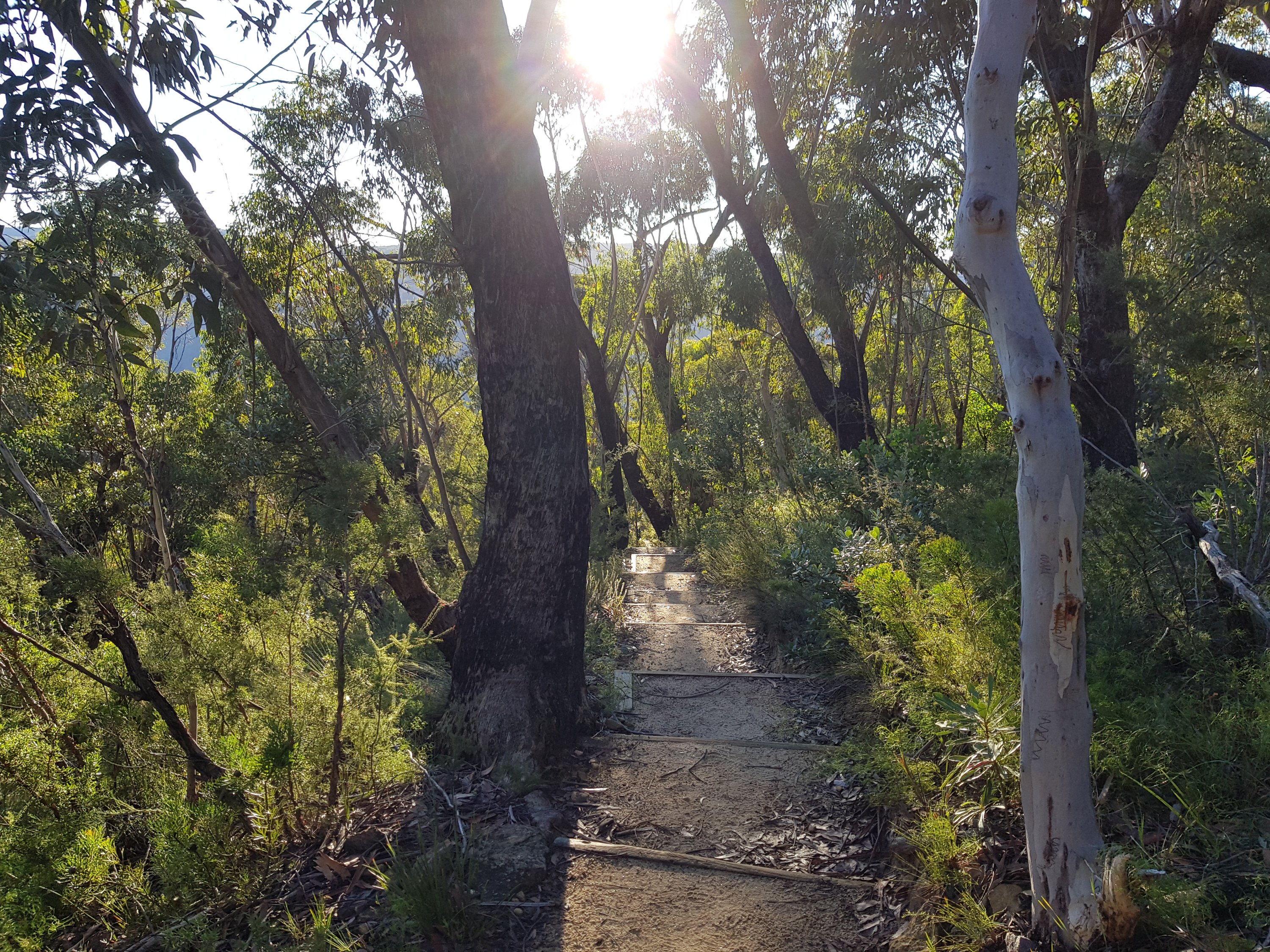
Familiar terrain on Petunia Bukt
The weather was threatening to improve, with the sun poking through from time to time.

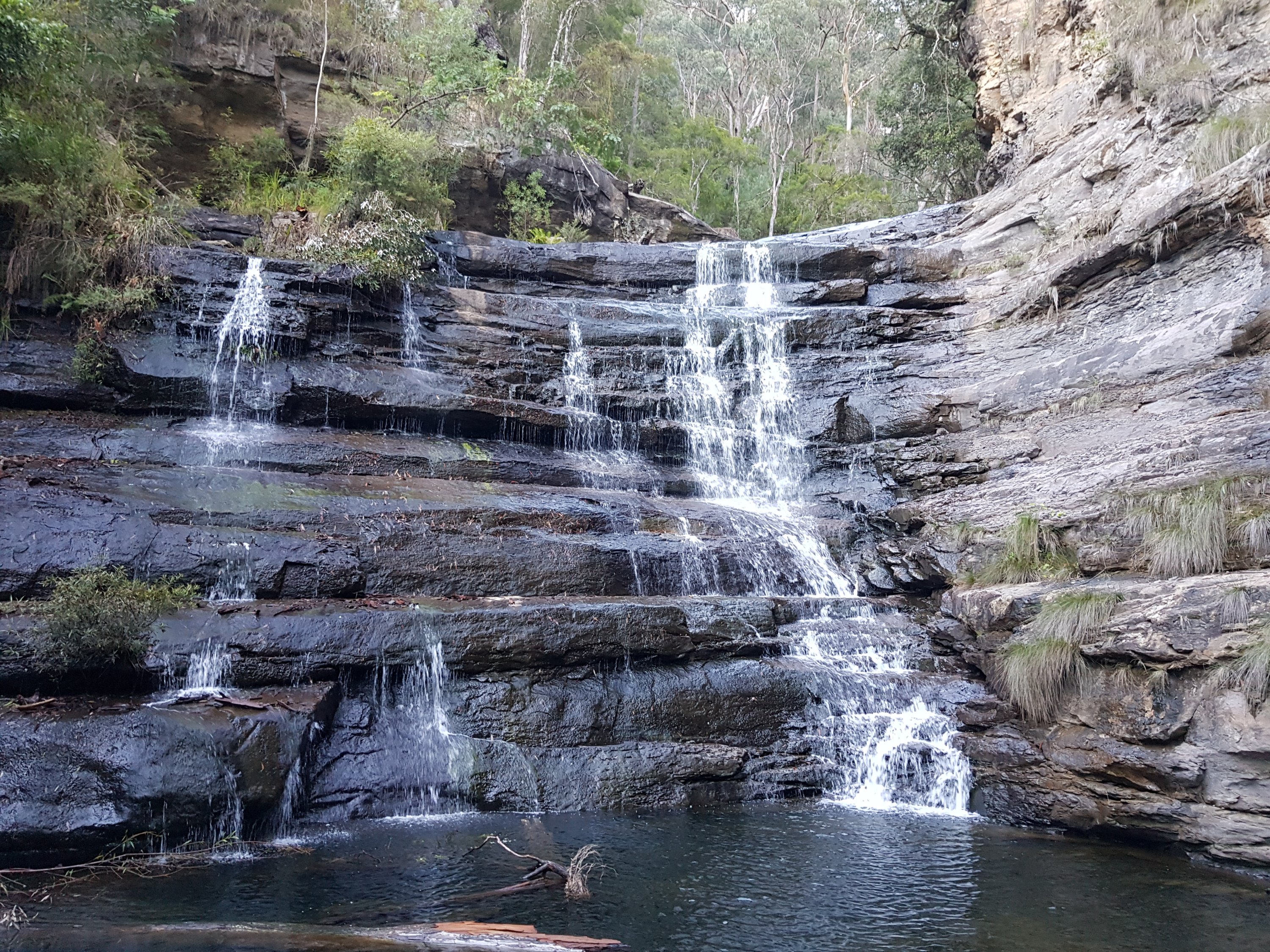
Petunia Bukt in the sun
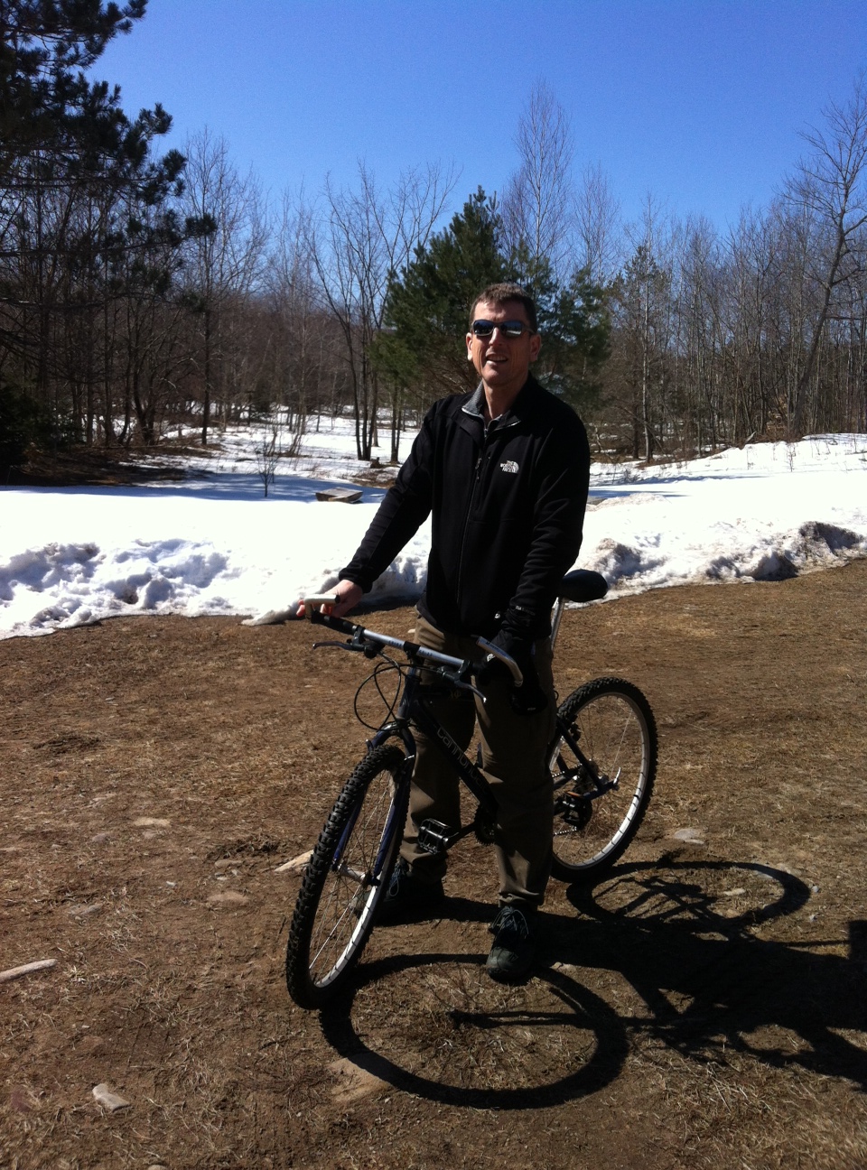
Our camp at the base of a glacier, on a flat part of the moraine, was quite unspectacular until my bear watch at 3 am. Lisa woke me to an amazing, clear, sunny blue sky. It was breathtaking.

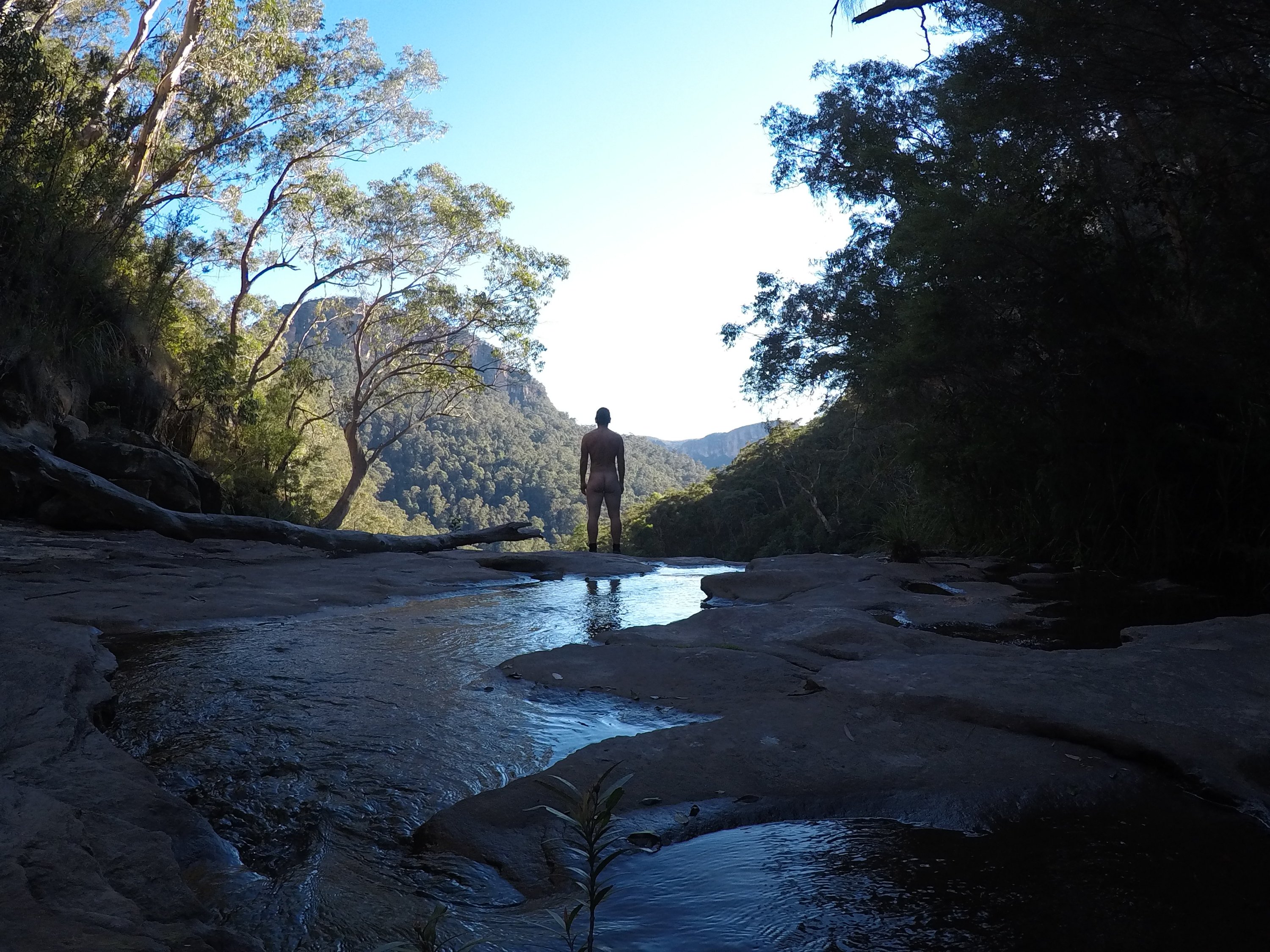
Advanced base camp in the sun

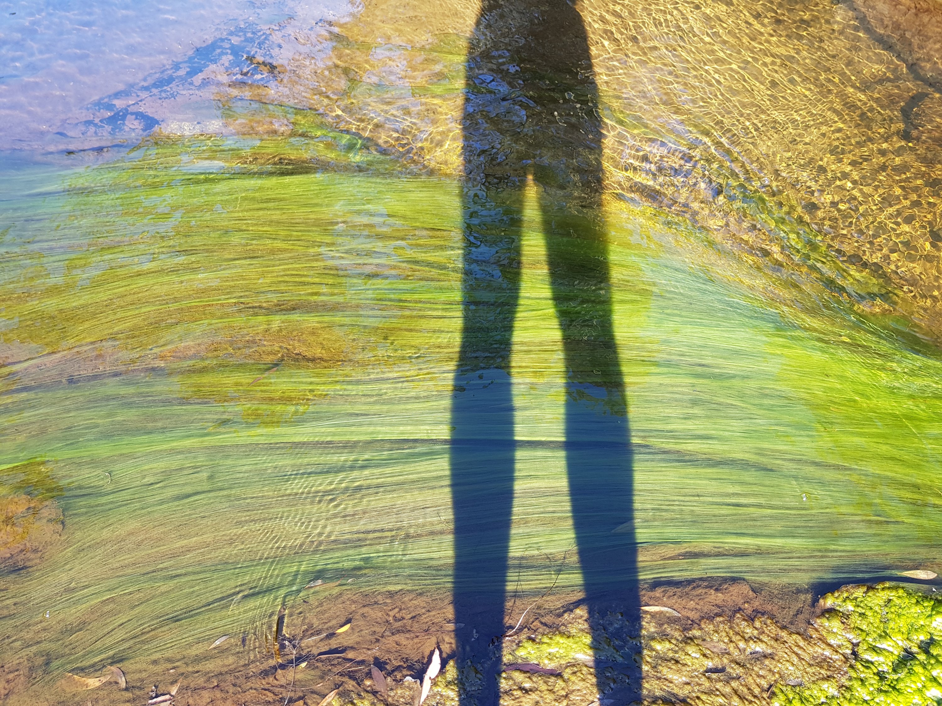
Shadows of the two bear watchers

Advanced base camp in the sun
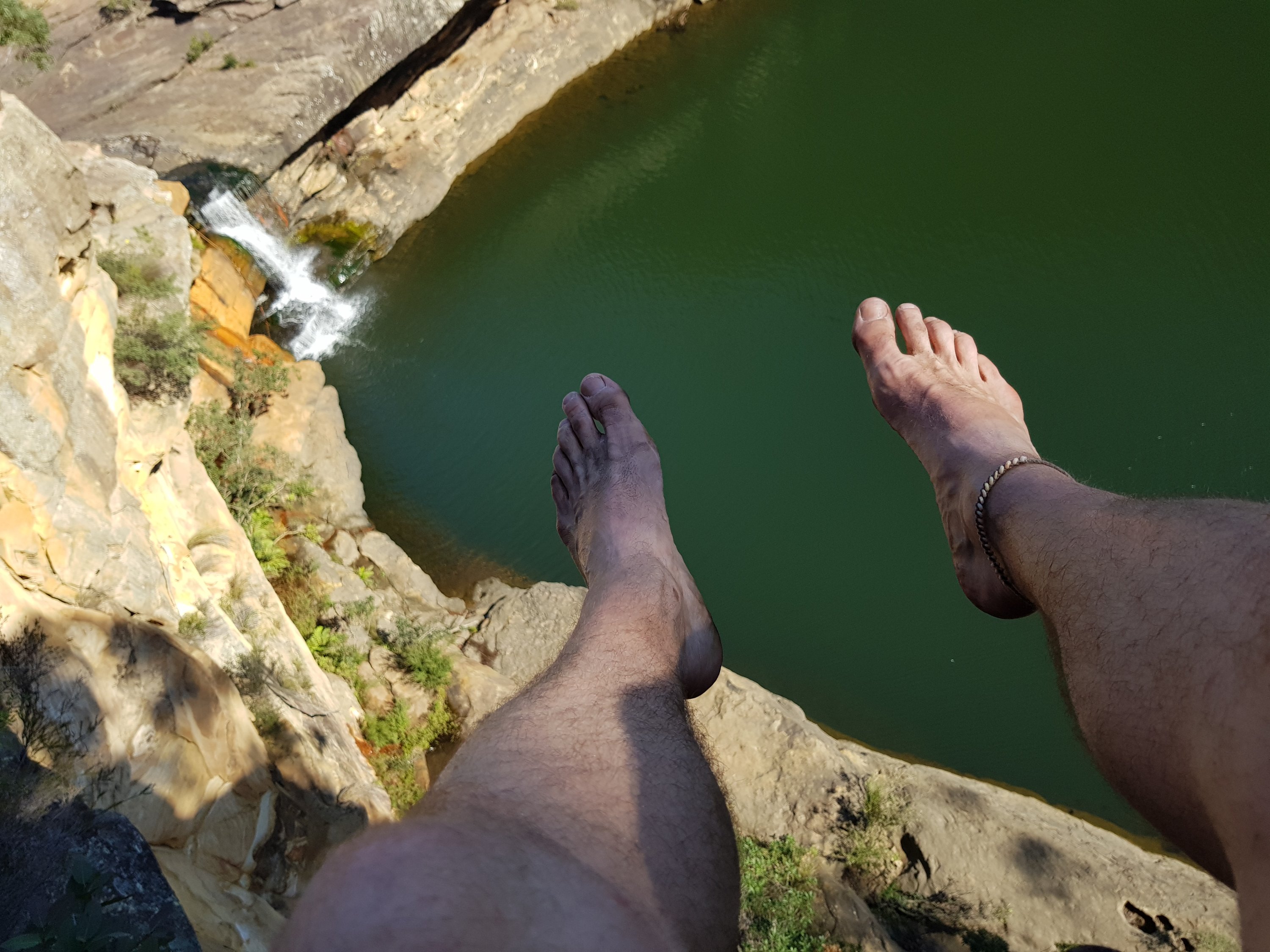
Our plan was to walk up the glacier, on to the ice sheet, and to a nunataak – a mountain in the middle of the ice sheet. From there we would have a 360 degree view over the ice. And, today was a day where this may be possible. Our first day with no low hanging cloud. Some clouds had formed by breakfast, but, the weather was ideal. I was chafing at the bit to start.
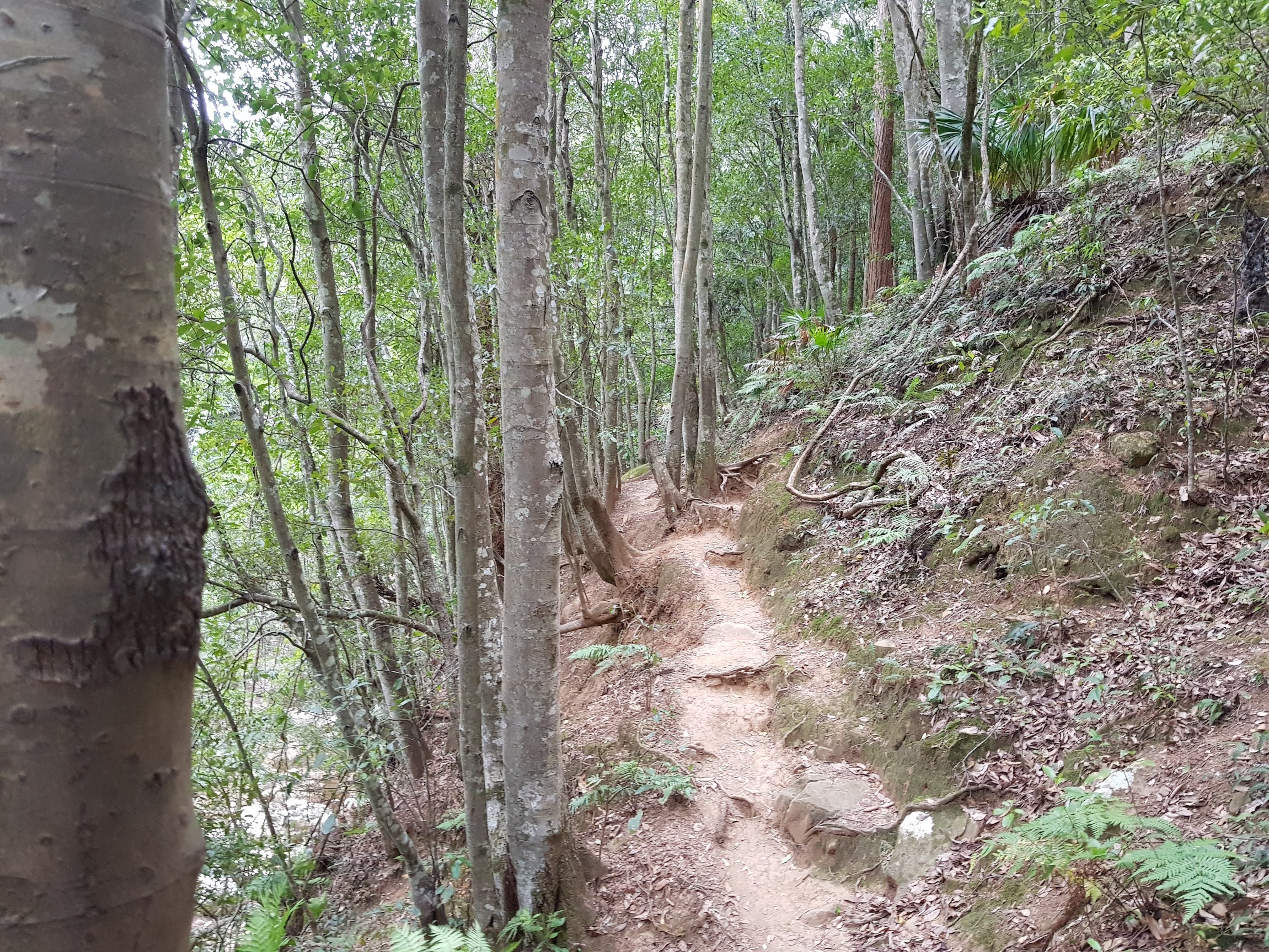
We started with a walk across the sludgy, muddy moraine. We saw our first serious quick sand as well as our first polar bear print.

Polar bear print
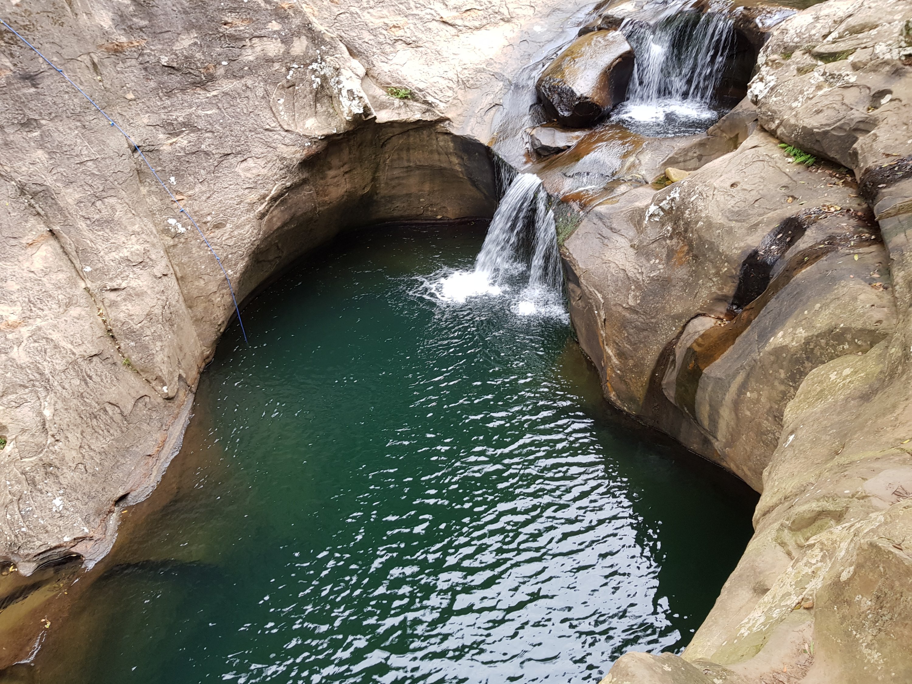
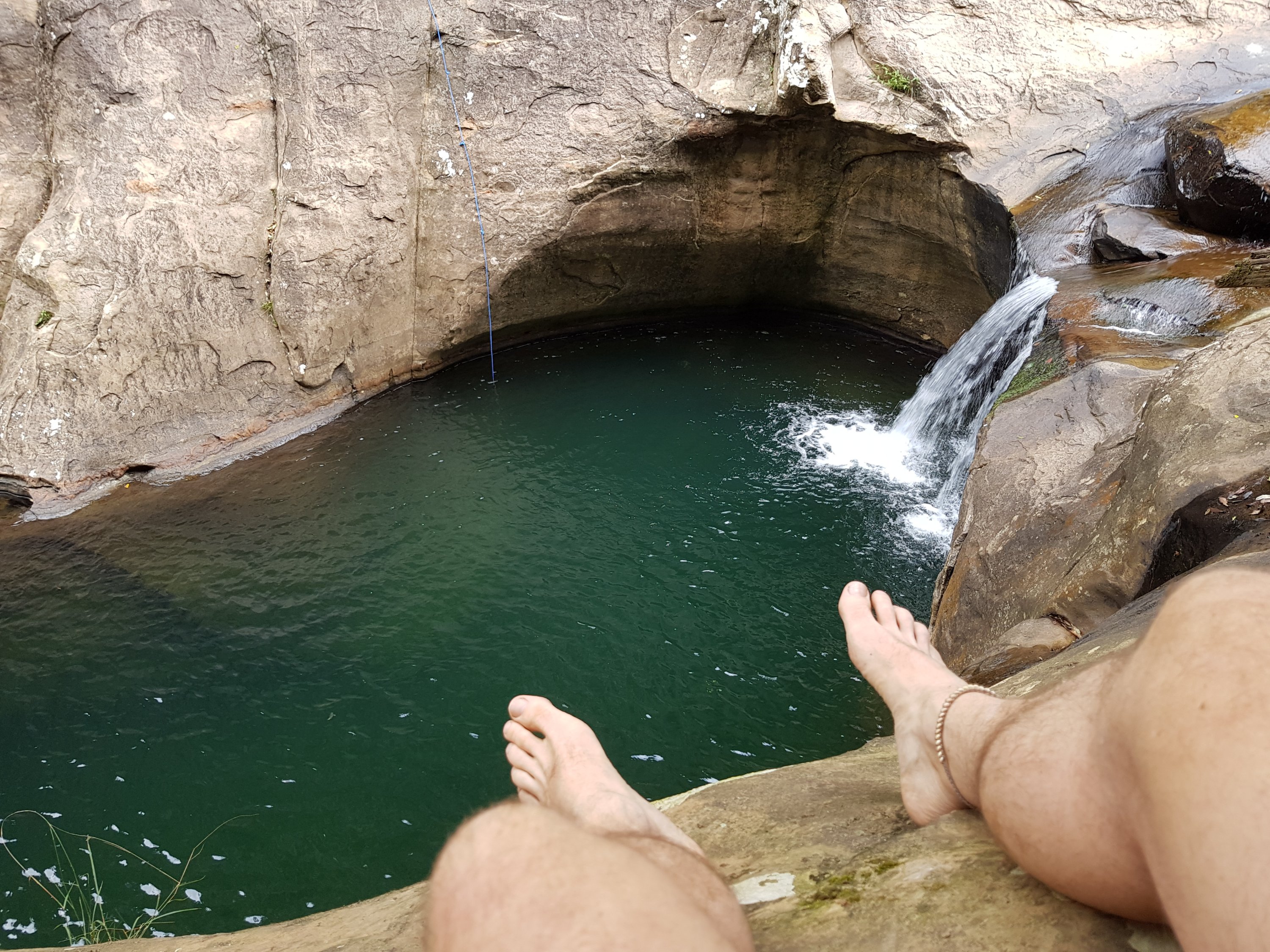
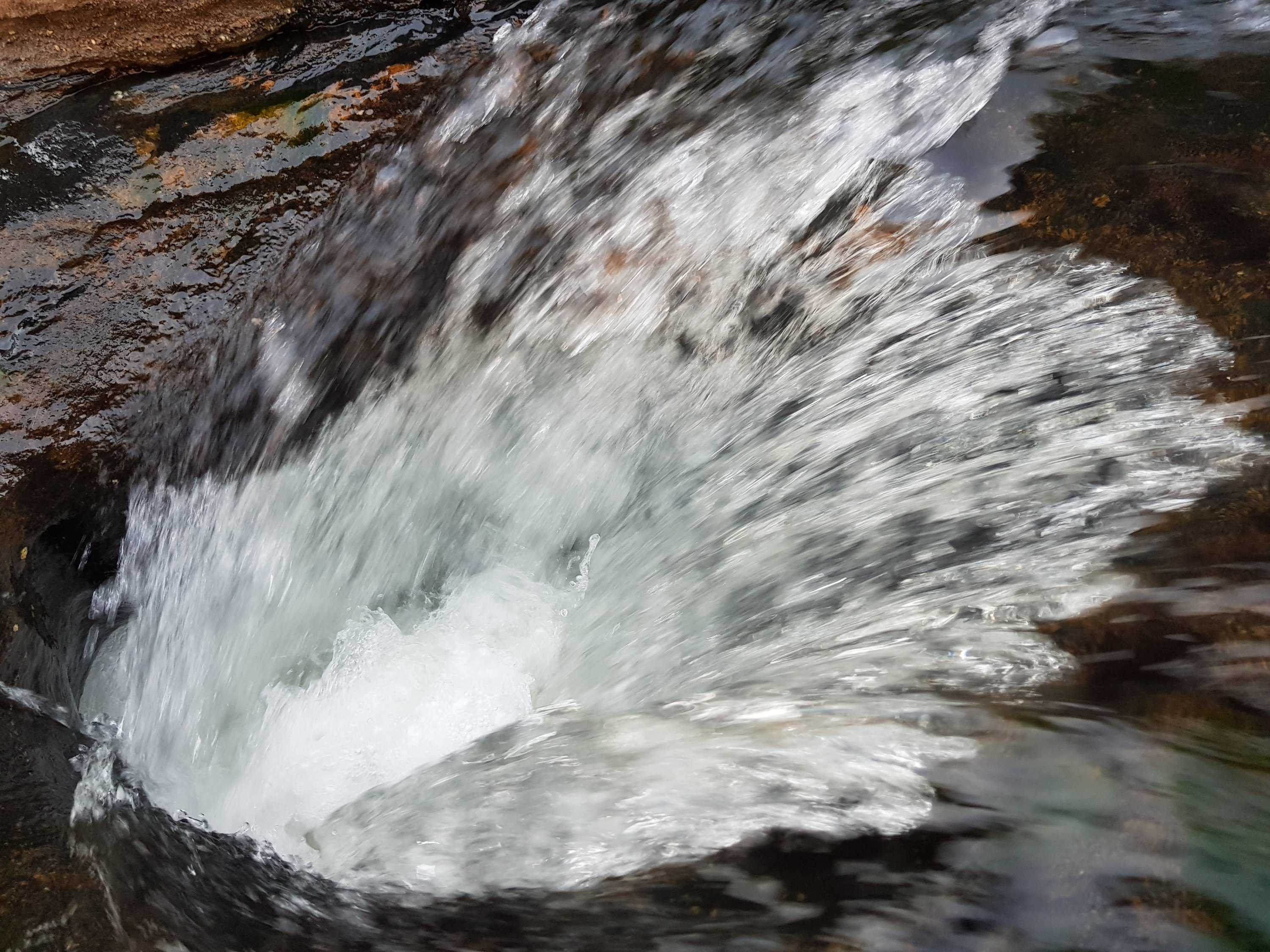
Then up on to the glacier. The ice was hard and crunchy. Under the white surface was a turquoise blue. Little streams ran down the glacier along their melted pathways. From time to time they dropped down a hole to continue their flow in the depths below under the glacier. We stopped on the glacier to fill up with water – delicious, cold, clear water.

On the glacier

The view down the glacier

Icy drink on the glacier

Me on the glacier
The ice gave way to snow and slushy snow which covered the entire ice sheet. Traversing it was tiring work. Each step sank through the crispy snow crust to squelch into blue, icy cold water. Each step was an adventure. Occasionally I didn’t fall through the icy crust. Occasionally I sank to my shins in the icy water, and had to extract my foot for the next step with a sucking sound. We made our way up, squelch, squelch, towards the crest of a ridge. The ridge always looked 100m away. And, like on our other glacier walk, the ridge remained just out of reach.
Paltry sounding distances become major expeditions in this terrain. The nunataak we wanted to scale was 7 or 8 km from the top of the glacier. We didn’t even make it to the top of the ridge before we stopped for lunch.

The ridge at infinity

Lunch
Then our Nunataak came into view.

Nunataak in sight
The nunataak remained desperately close. And the going got tougher. With every step we sank to our ankles, and then to our shins in the icy slush. Each step became a squelchy adventure. Would the next step see us sink to our knees?

Nunataak in sight and the going got tougher
The group dynamics became interesting. Climbing a nunataak was one of my goals of the whole Svalbard trip. The same was true for Steve. Normally he was quiet, agreeing with any group decision in his happy go lucky, ‘its all good’ style. This time he wanted to continue. The going was tough, but the nunataak was just there and we wanted to wade through the last half a kilometre of slush to get there. Gordon was tired, but, I think still keen. Lisa was tired and saw another long day becoming a reality – too long for her liking. Ben was ‘philosophical’, by which he meant that he was easy either way: continue or return. As the slush got deeper, I felt my spirits sink. I felt the group decision flipping, so close to the nunataak. I sank to my knees, extracted my now drenched and numb foot out of the snow to make the next step. And then another. The philosophical Ben was wavering, and Gordon was also not so set on the nunataak. Sam called a stop. We distributed some chocolate, and Sam went to get some water (by digging through the snow to the liquid slush below).

Collecting water at the foot of the nunataak
We would return. 😦
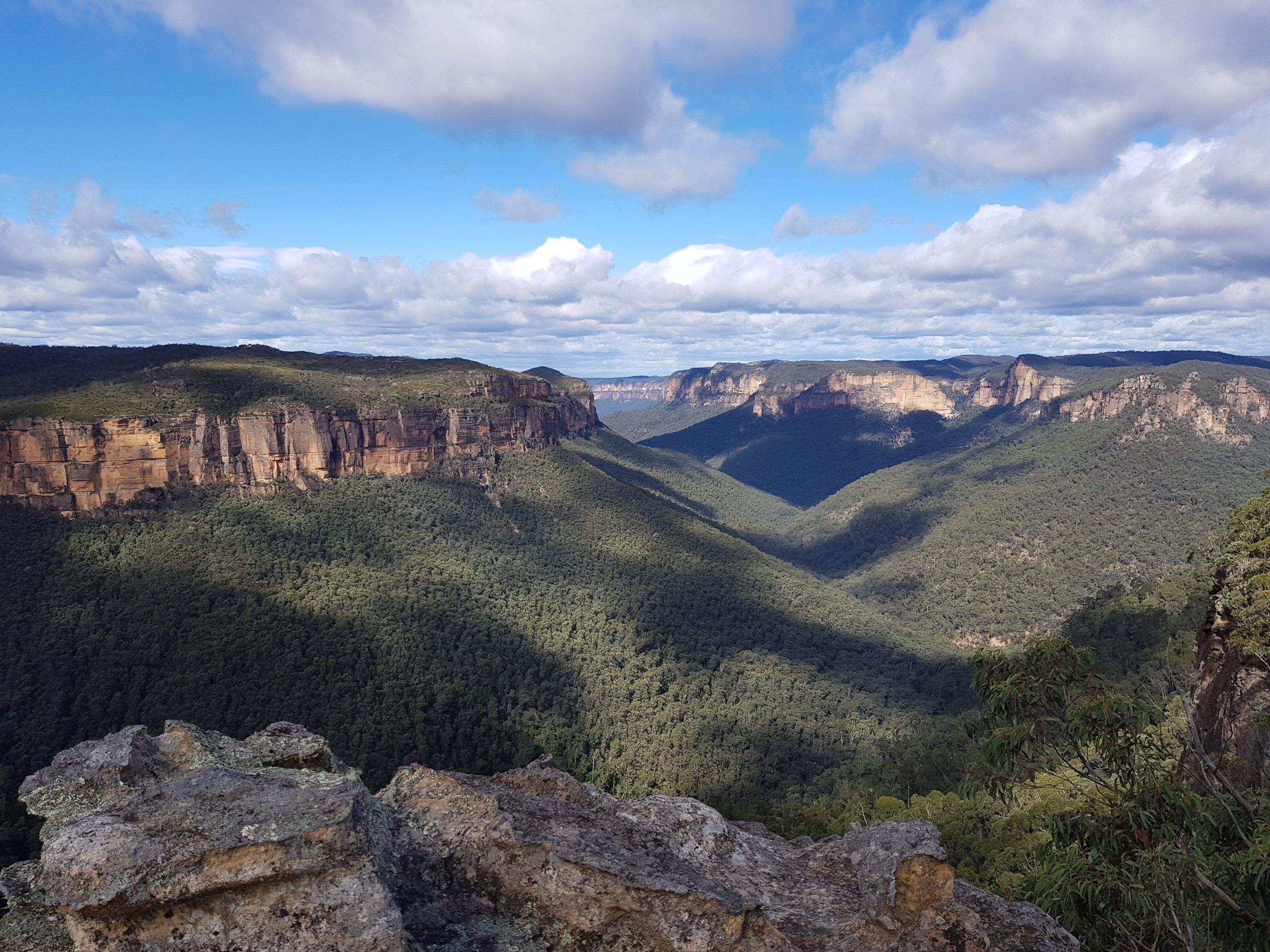
The views down the glacier were spectacular. The clouds made a beautiful light spectacle on the distant mountains. It was amazing scenery and lovely weather, and I was disappointed.

View down the glacier
We stopped for a break on the ice sheet and stood still for a moment. There was not a sound. The snow enveloped us in silence. Just above us passed a pure white bird. Whiter than white. It felt like a messenger from the Lord of the Rings. It gracefully passed just above our heads as we stood in awe. So pure. So silent. So beautiful. A very rare sight, said Sam. We were honoured to see it, and see it so close.
Down and down we went. It remained slushy, but, our way back was fast.

The way down
We arrived back at our advanced base camp at a reasonable time. Our defined 10 pm start of the night Svalbard time did not feel that late.
The next day was a return to the main base camp across the now totally familiar Petunia Bukt. A three hour sleep, then dinner, ending with an evening in the czech research station, listening to lectures on polar research, and chatting with the researcher while drinking becherovka – a czech schnapps. It was a late night, returning to the base camp in the eternal sun.
51.441642
5.469722