Start: Blackheath Station
End: Mount Victoria Station
Total distance: 68km
Strava link
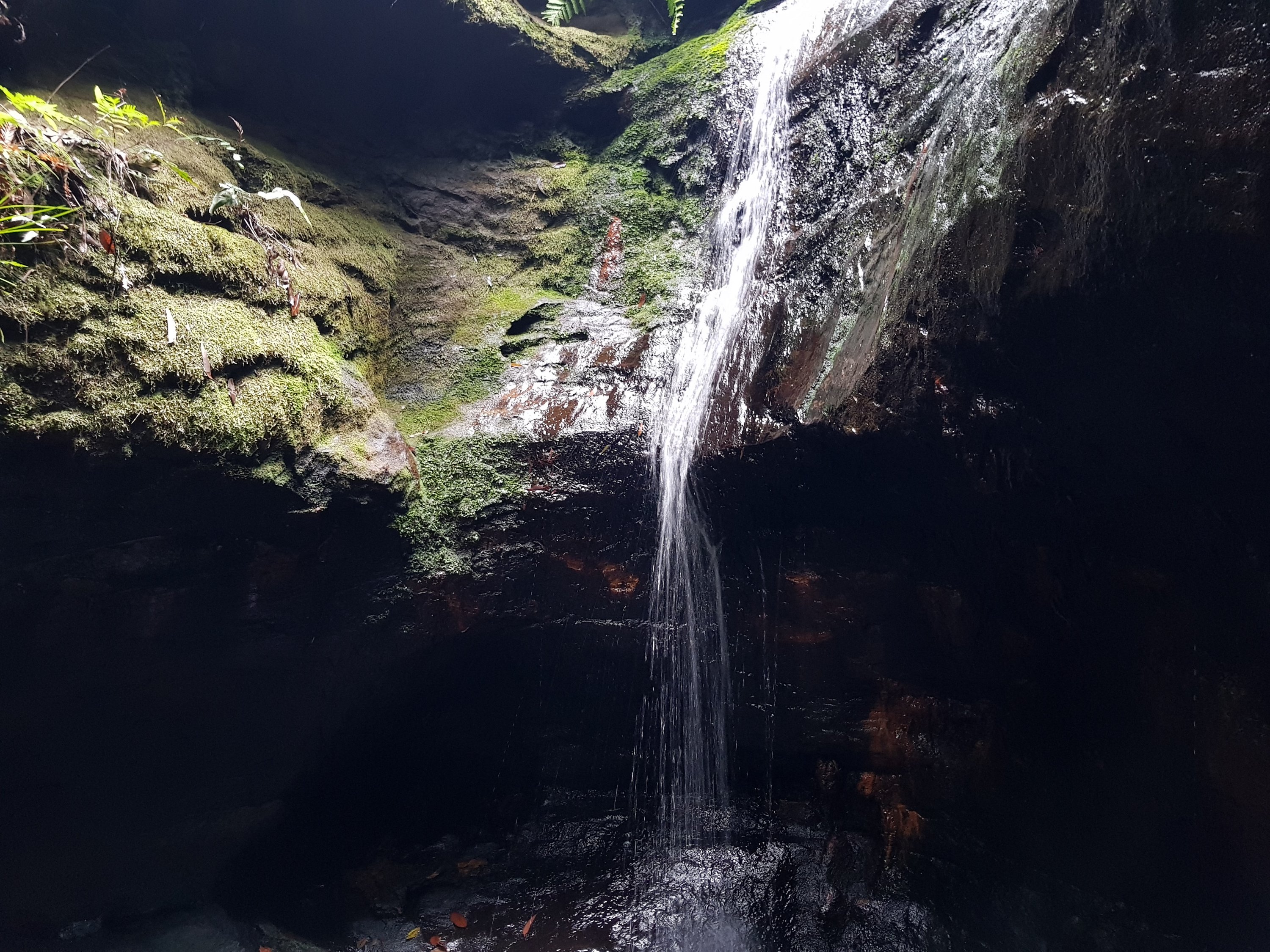
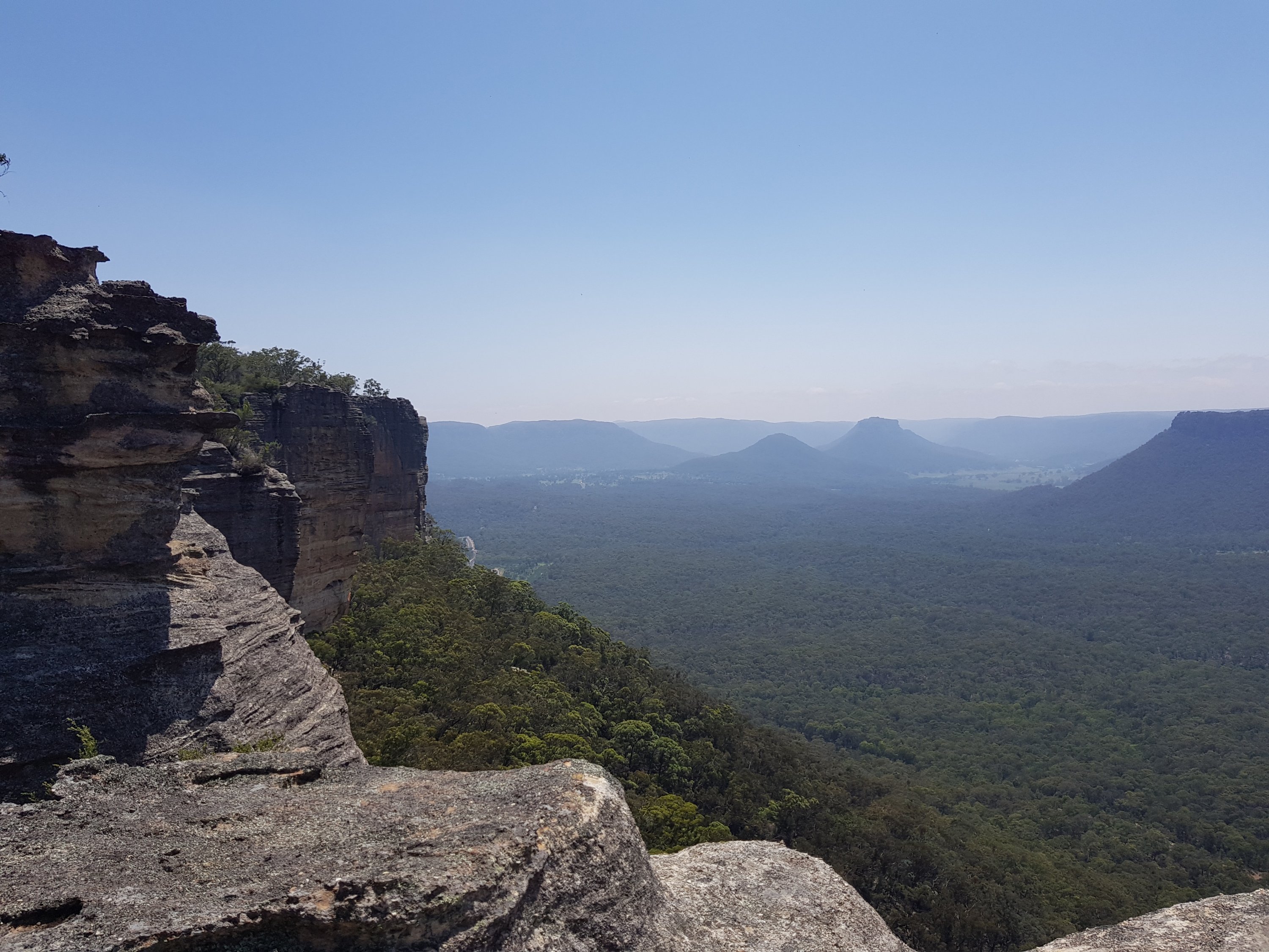
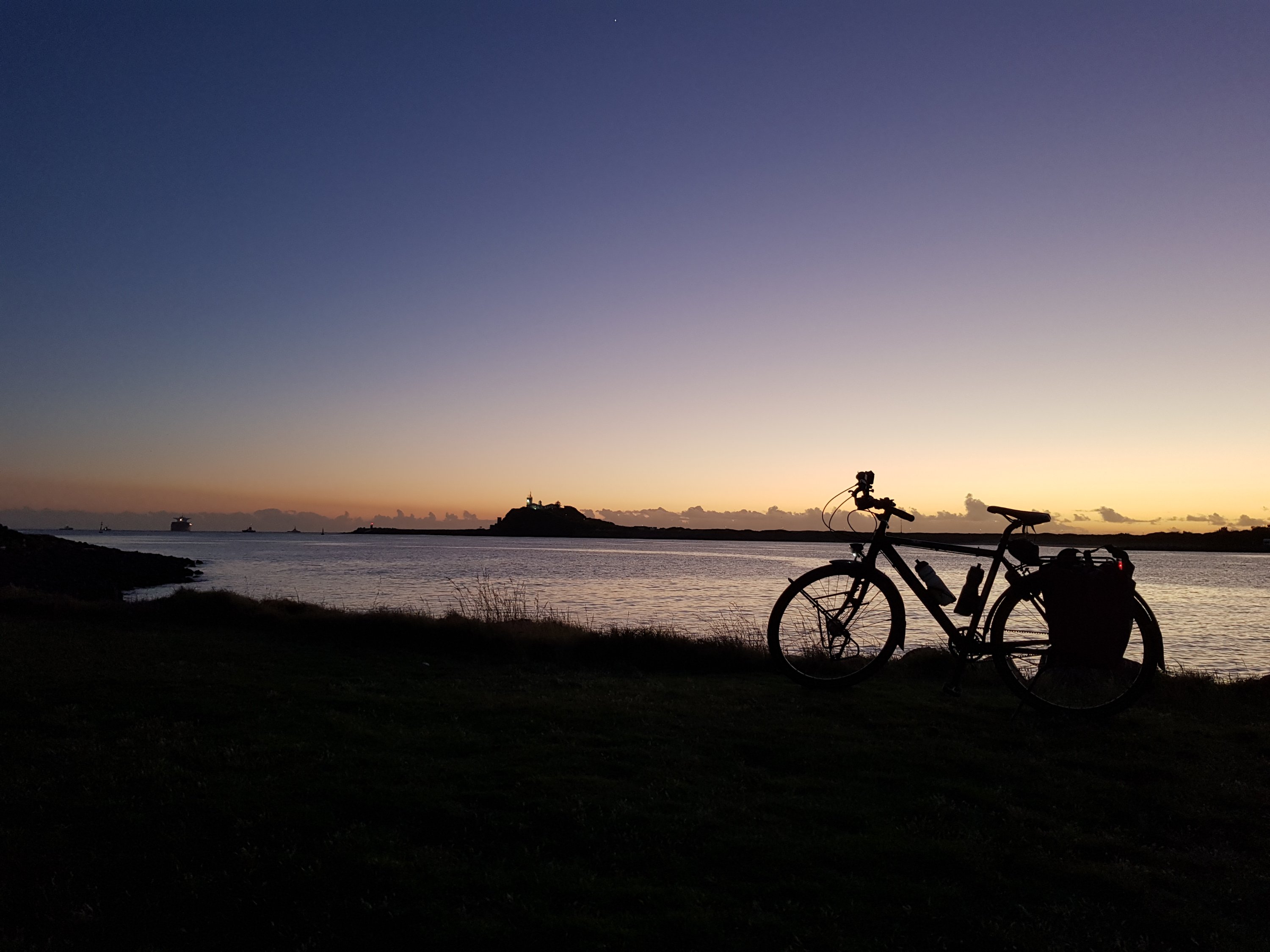
I have been eyeing off this trip for months. The trip was foiled twice when thunderstorms were forecast over the Blue Mountains and twice due to track works on the Blue Mountains line. Today was the day. I cycled down part of the Six Foot Trail to Cox’s River with the famous swinging bridge. Returning to civilisation with a train station was a steep affair on a beautiful back road.
The last 7km into Mt Victoria from the west is very dangerous, and I won’t be doing that again. It involves a steep climb up a windy main road with only one lane in each direction, no space to the side of the road, and railings stopping an emergency escape.
The rain had set in by the time I reached Mt Victoria and the traffic was bumper to bumper, so I decided to call it a day there rather than returning to my starting point at Blackheath.
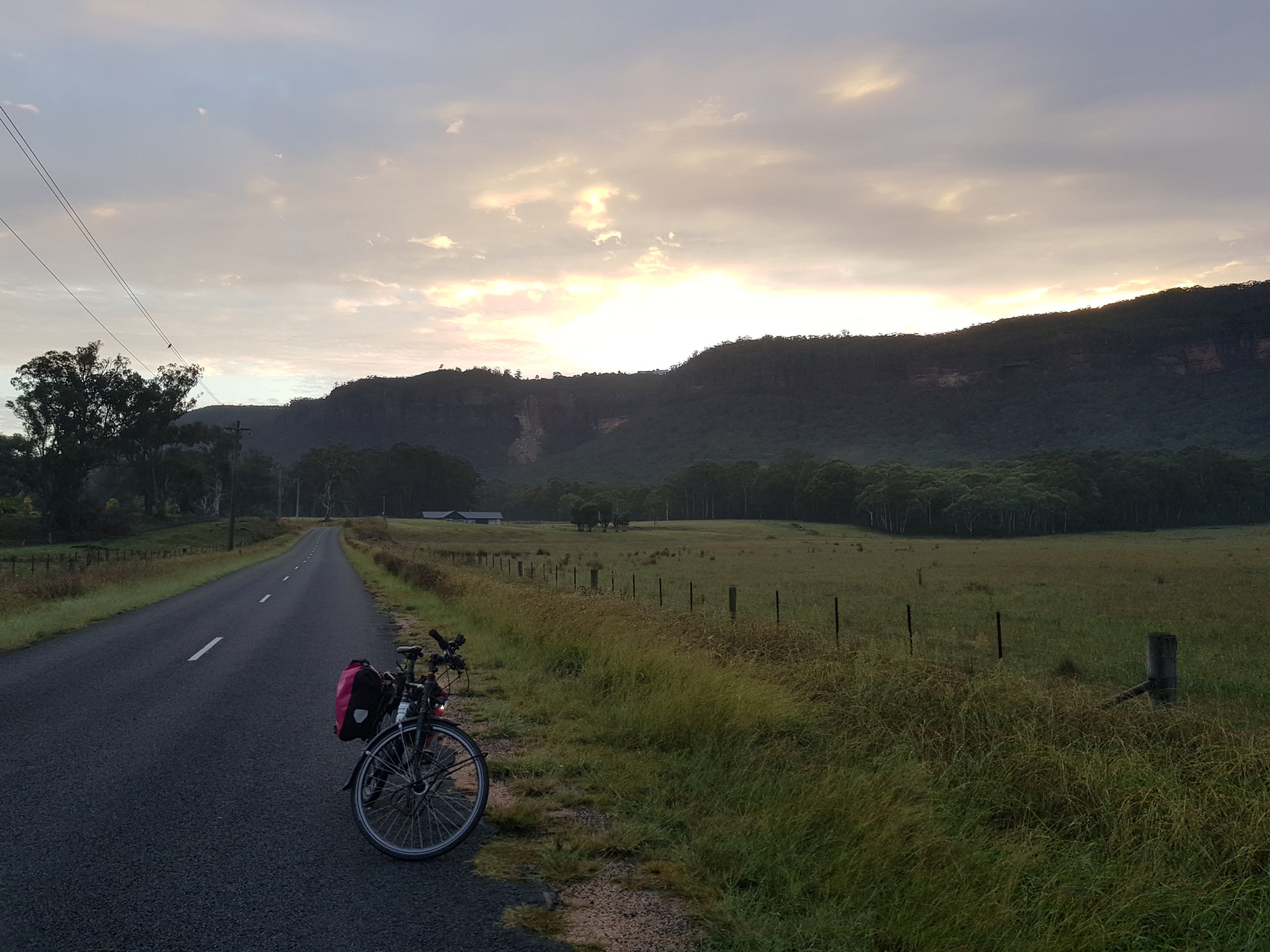
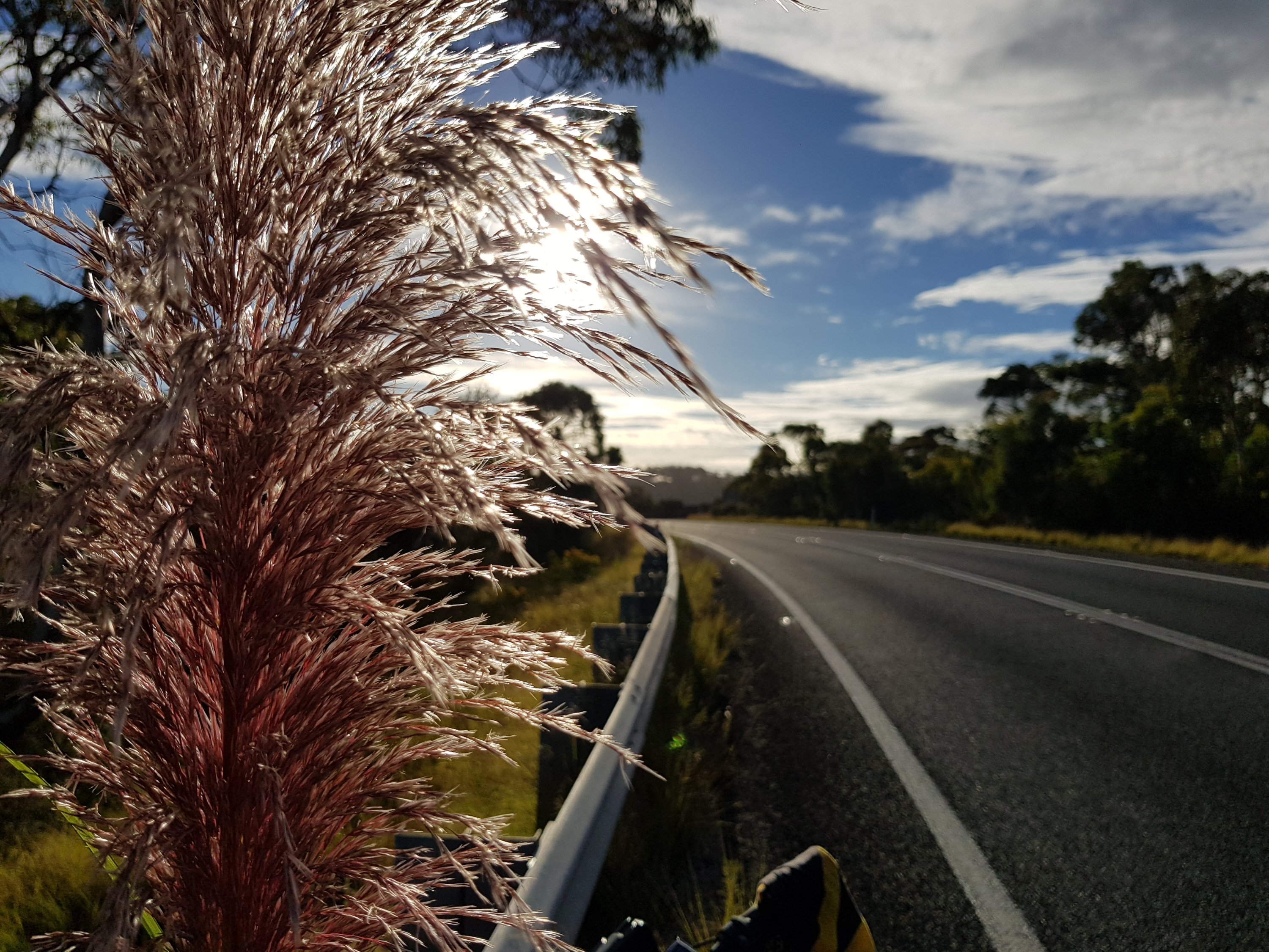
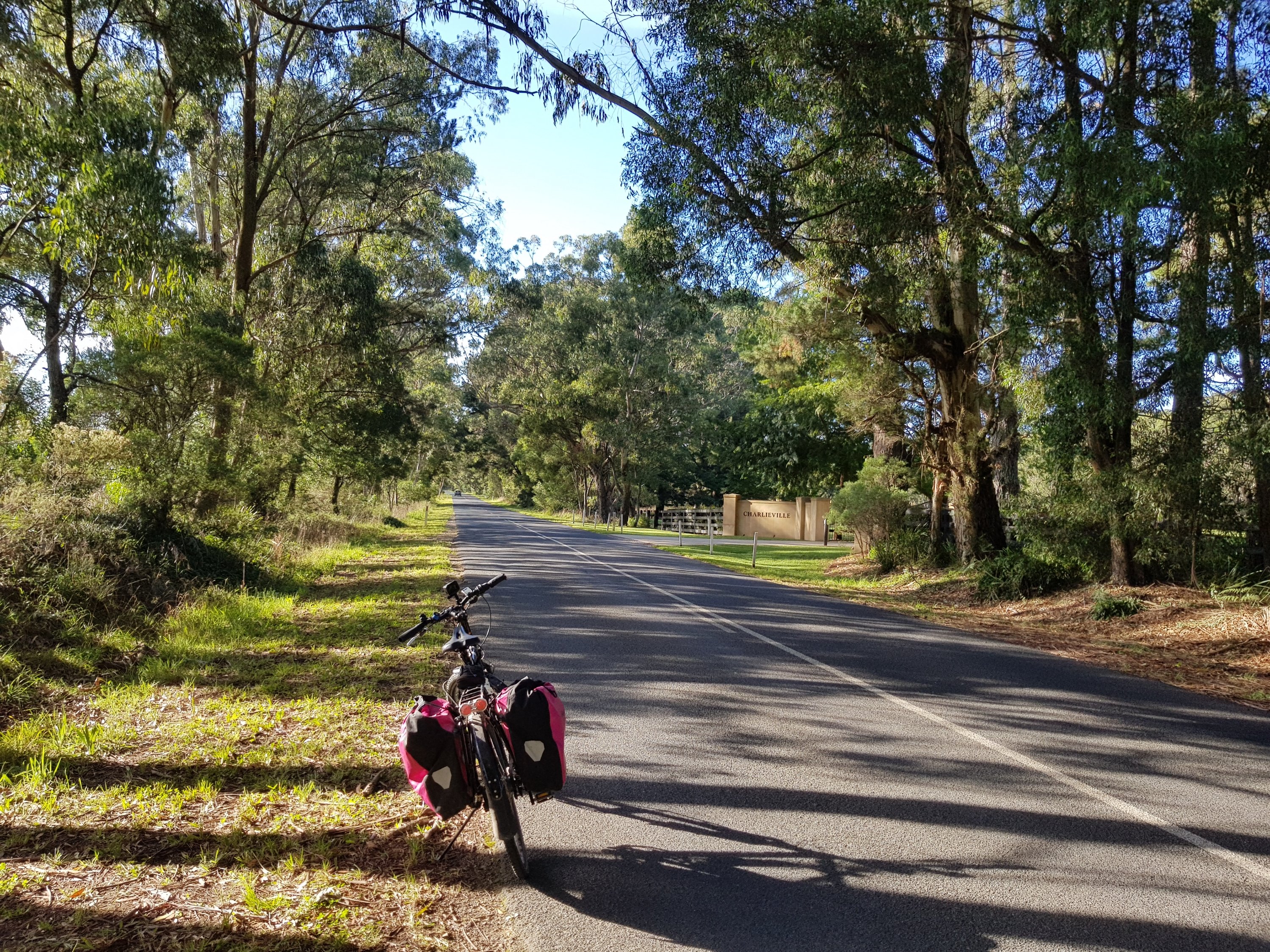
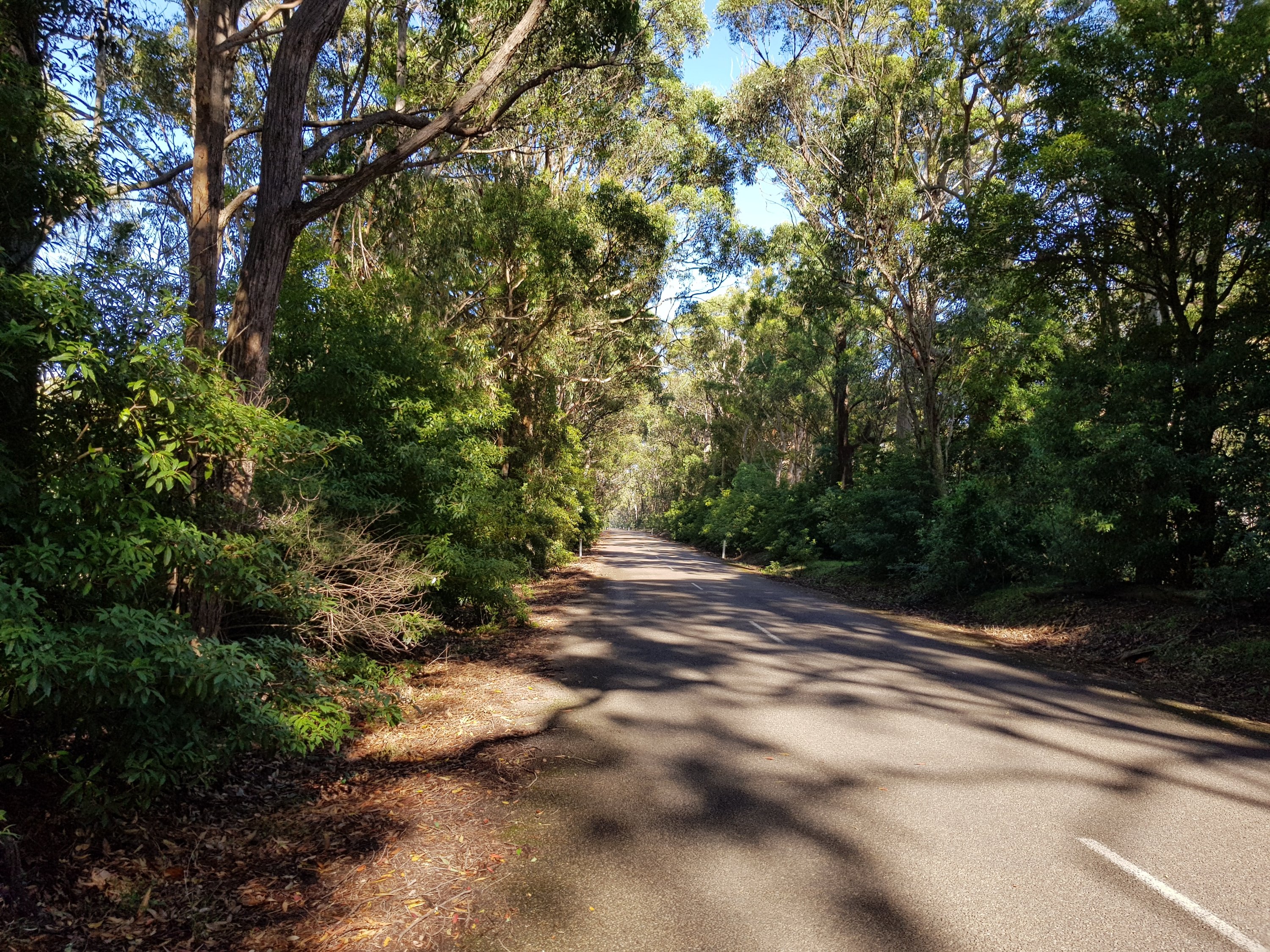
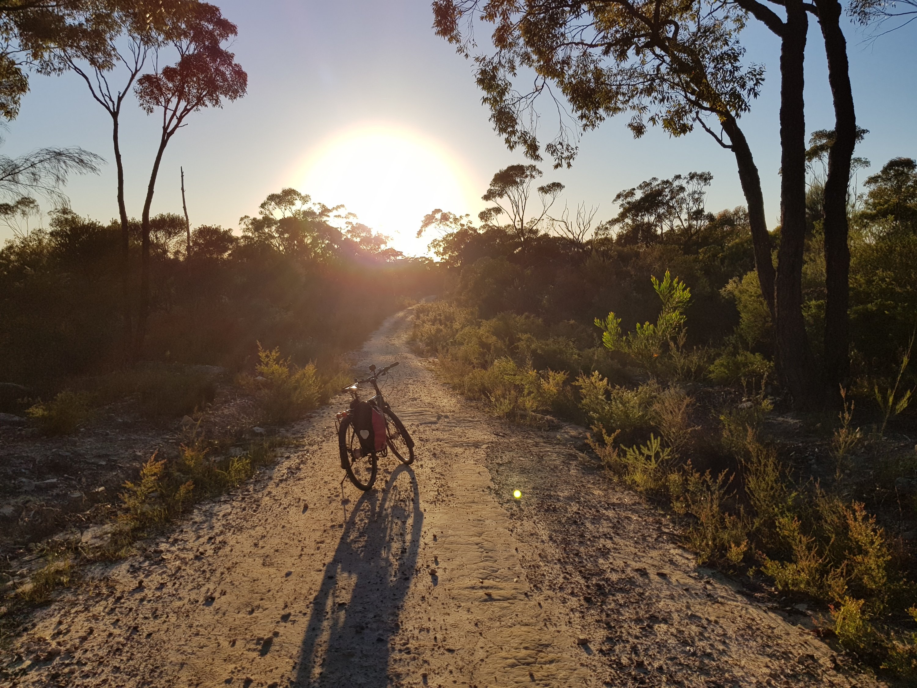
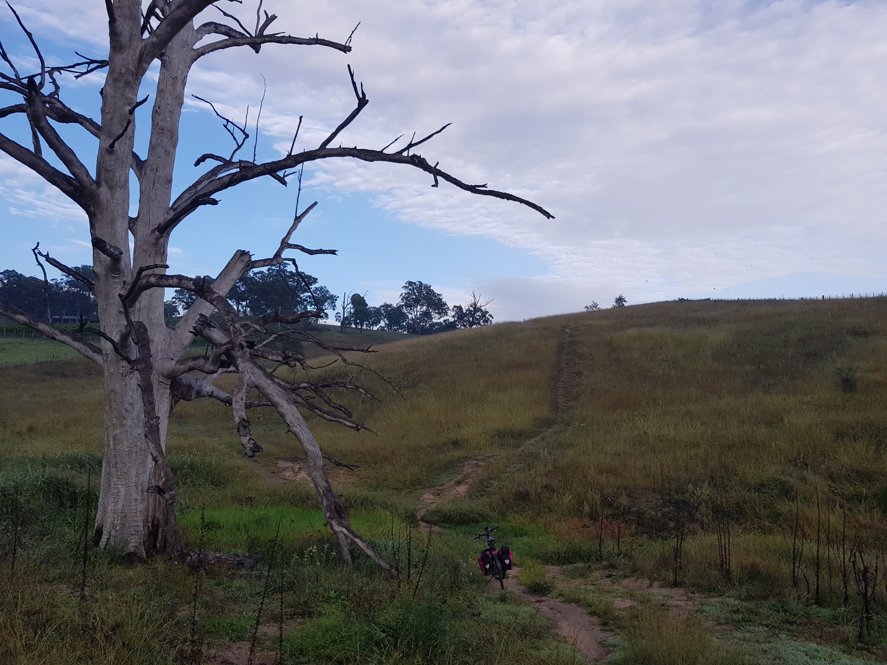
Early morning on the Megalong Valley Road
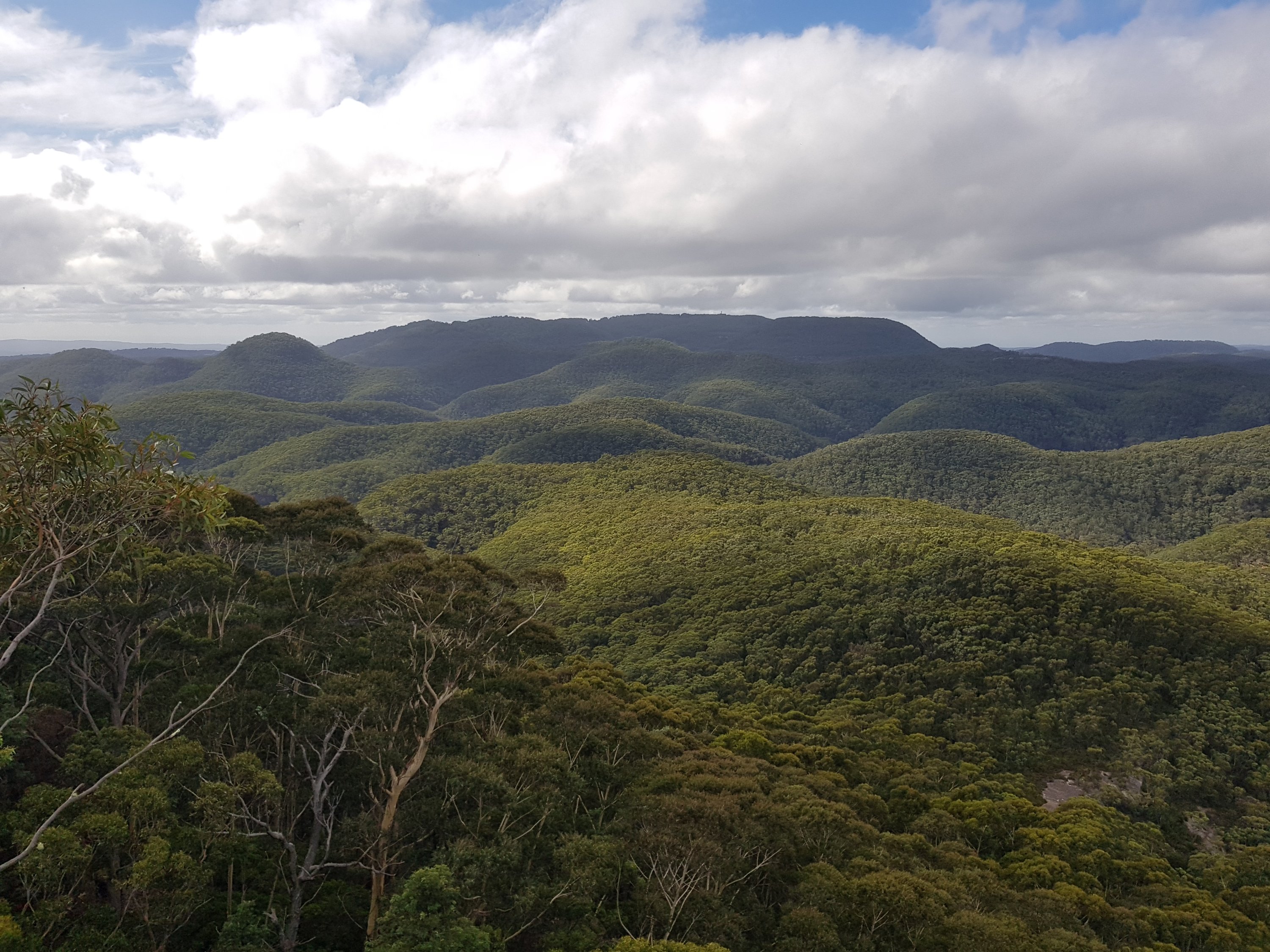
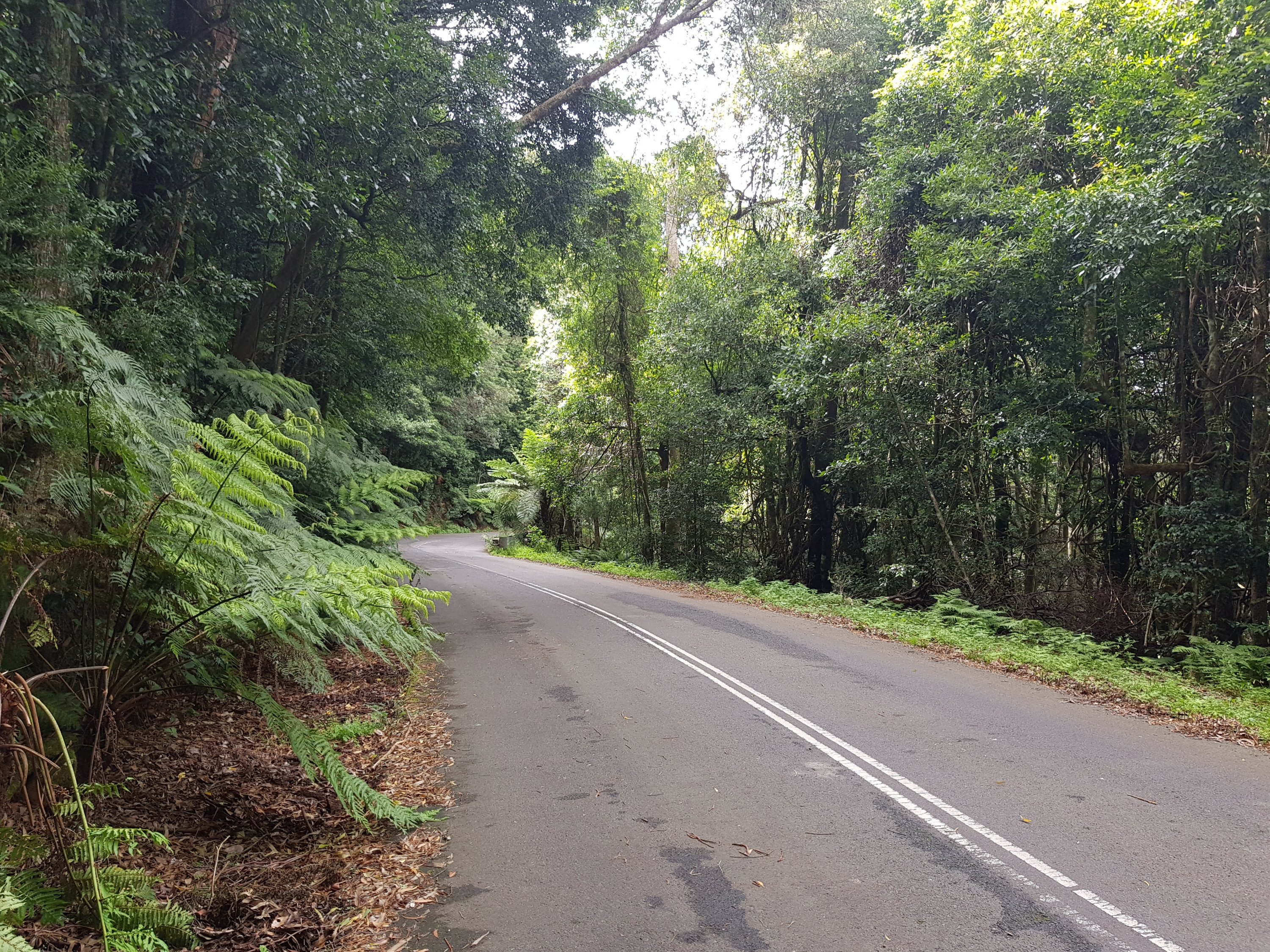
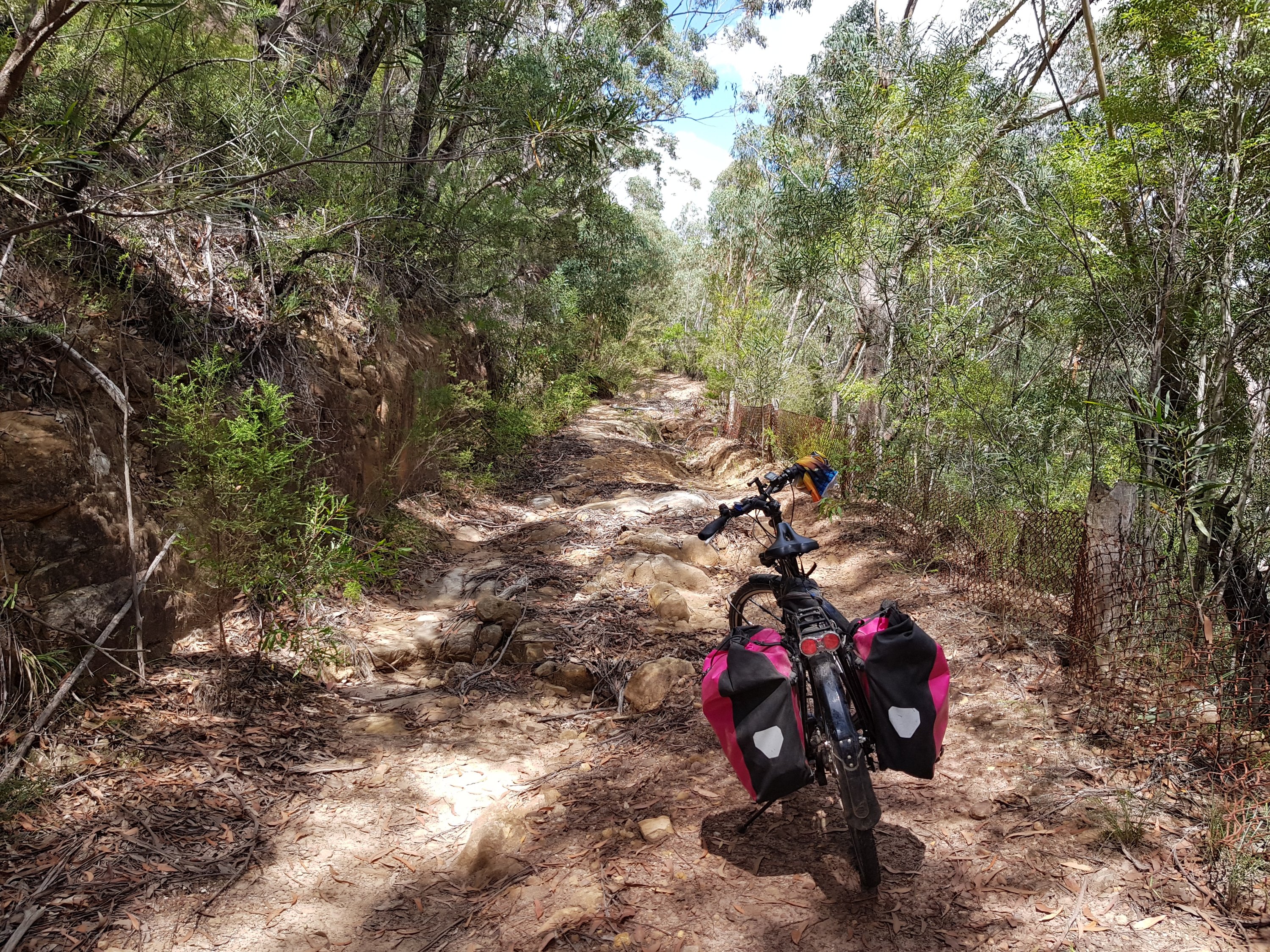
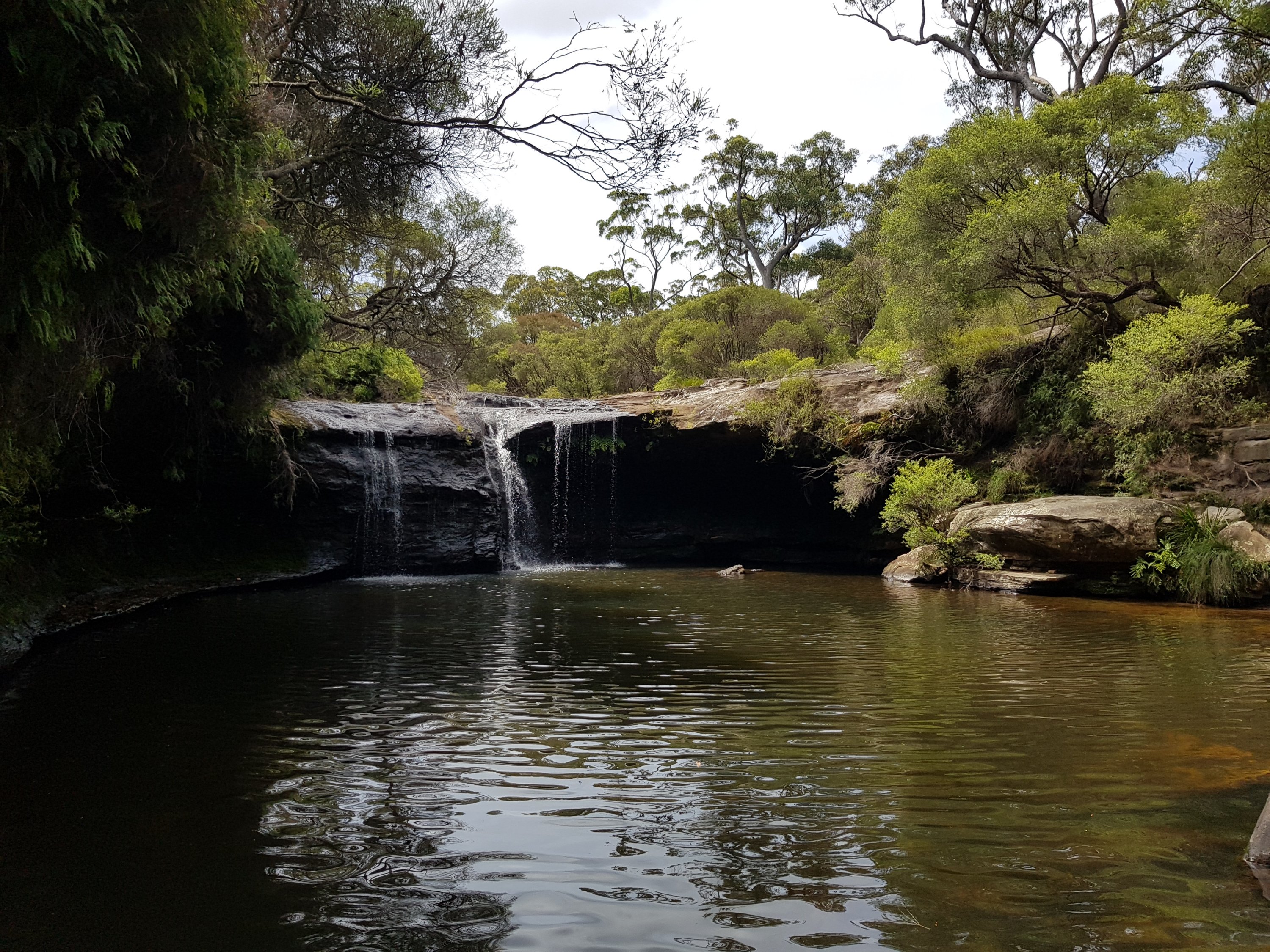
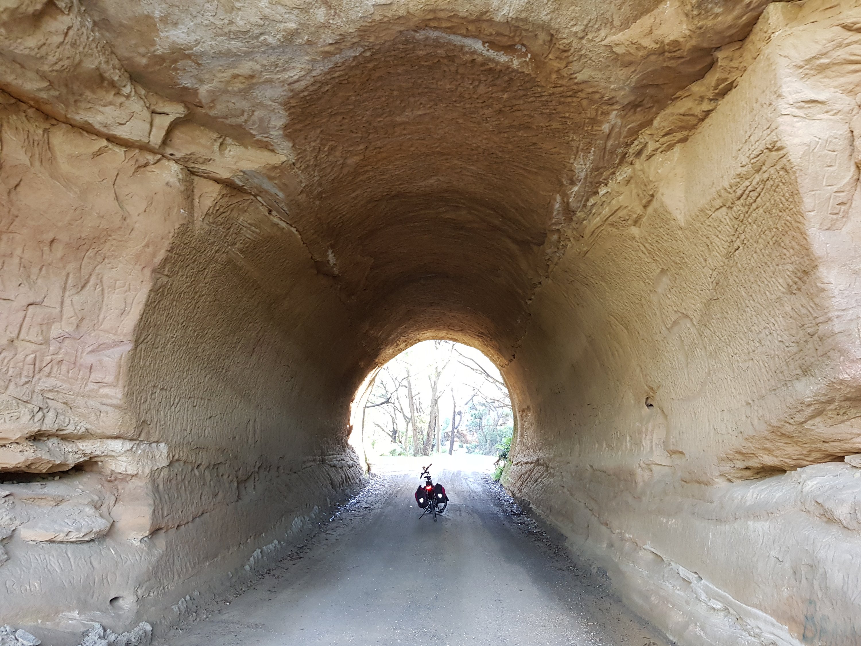
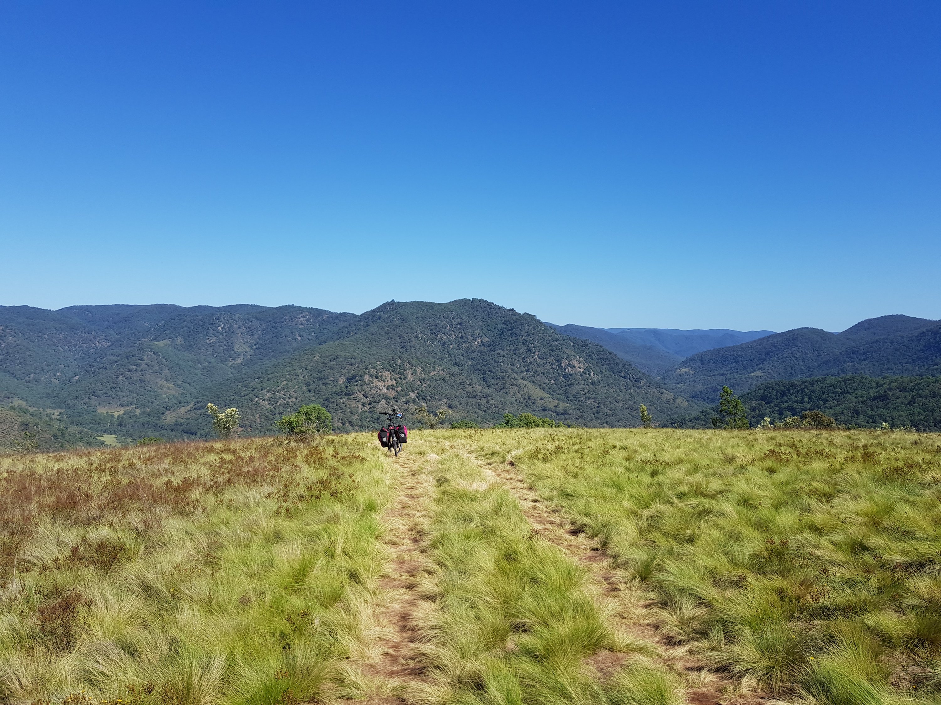
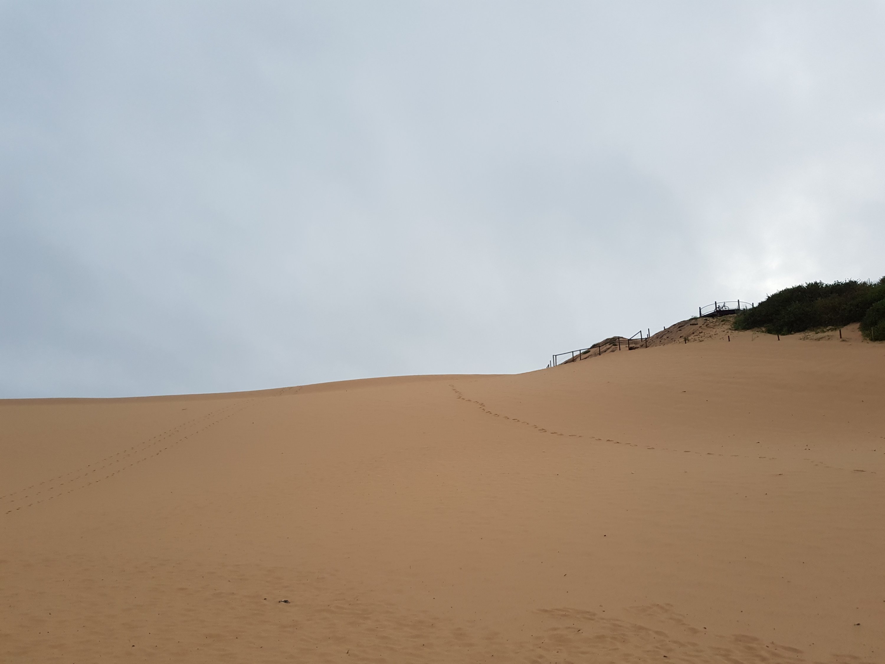
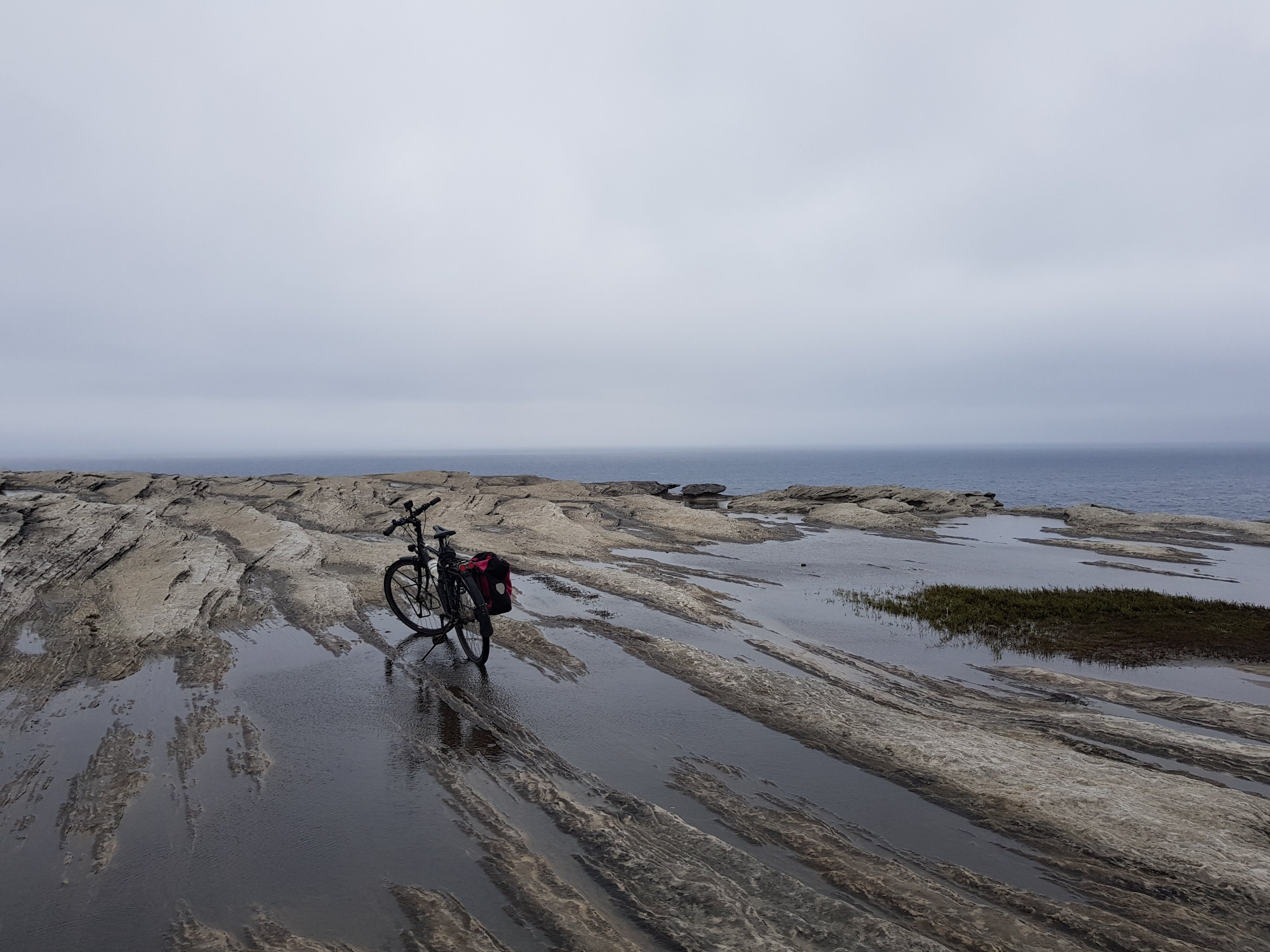
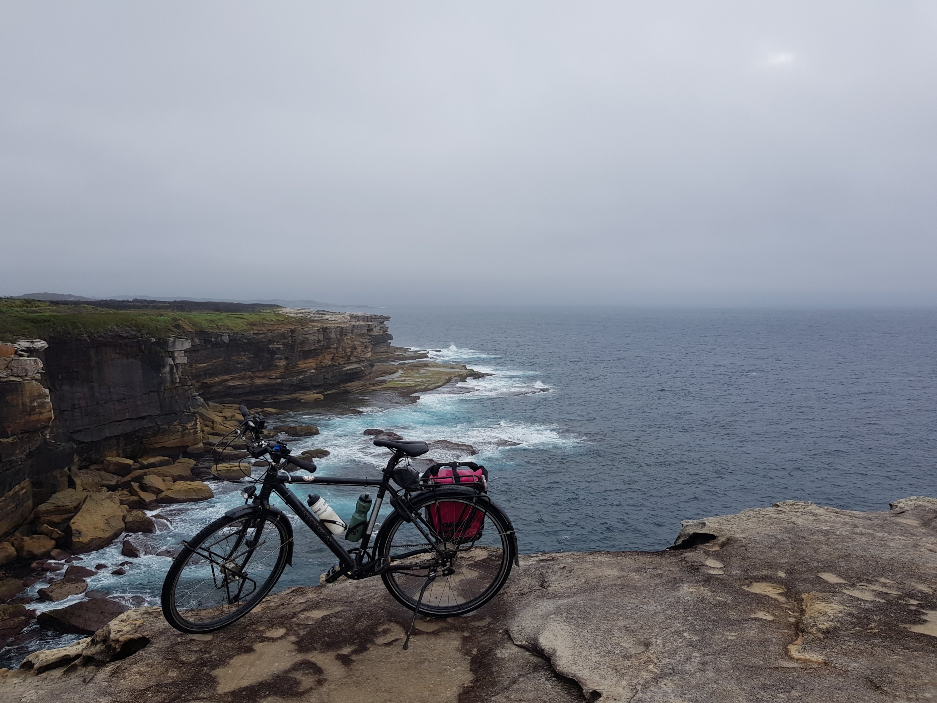
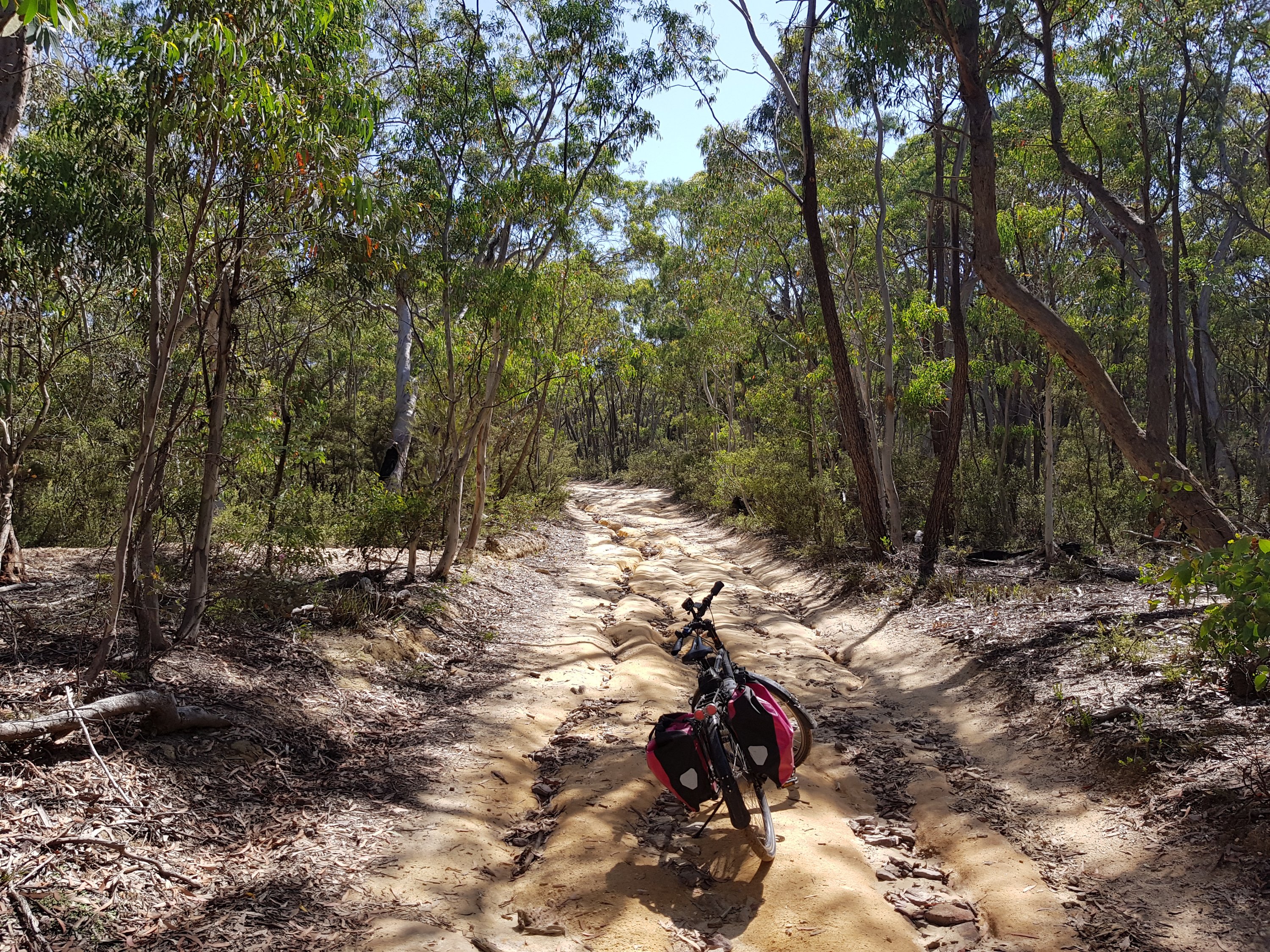
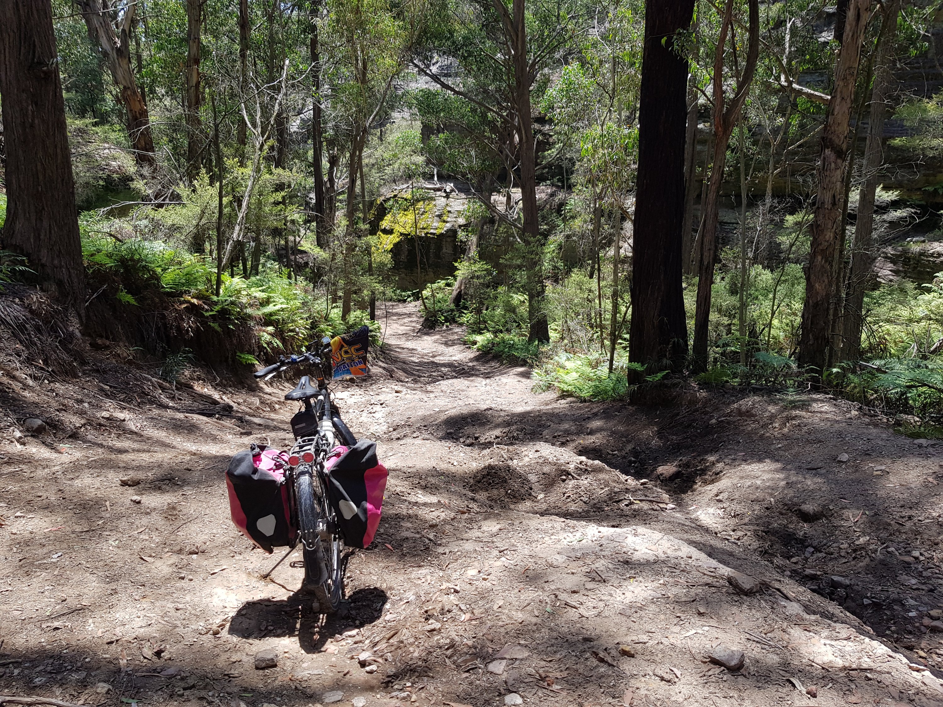
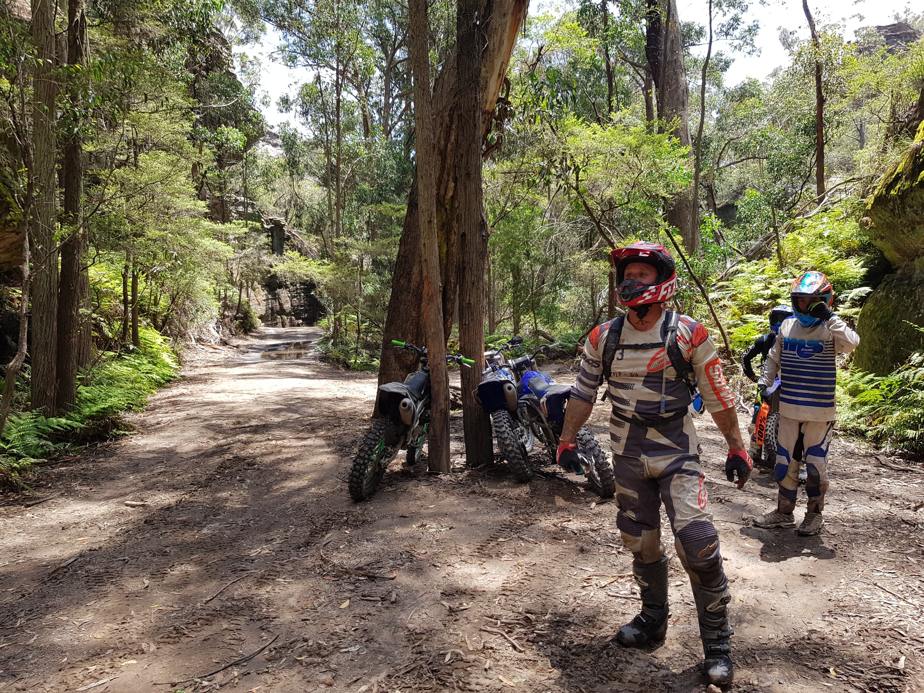
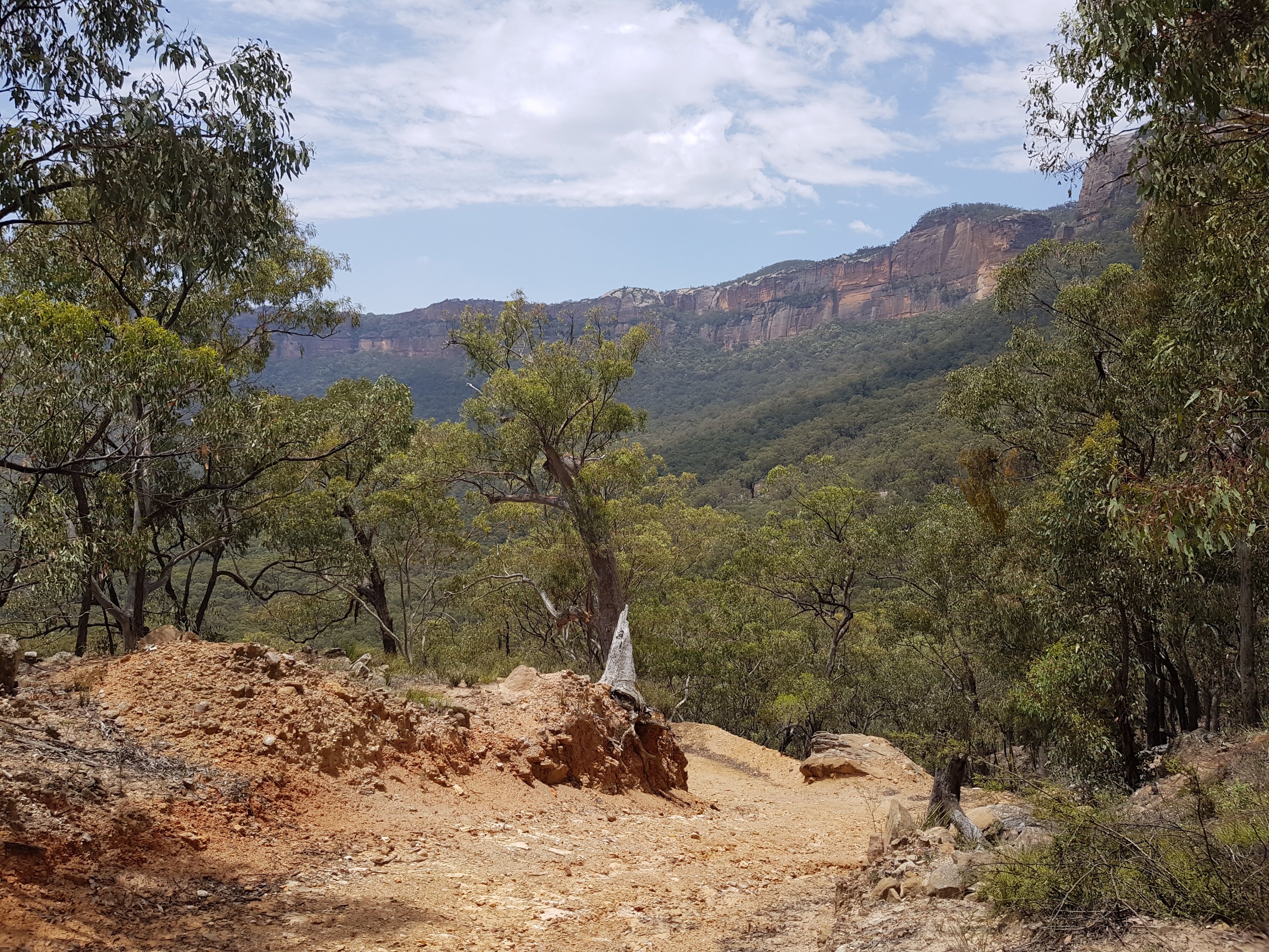
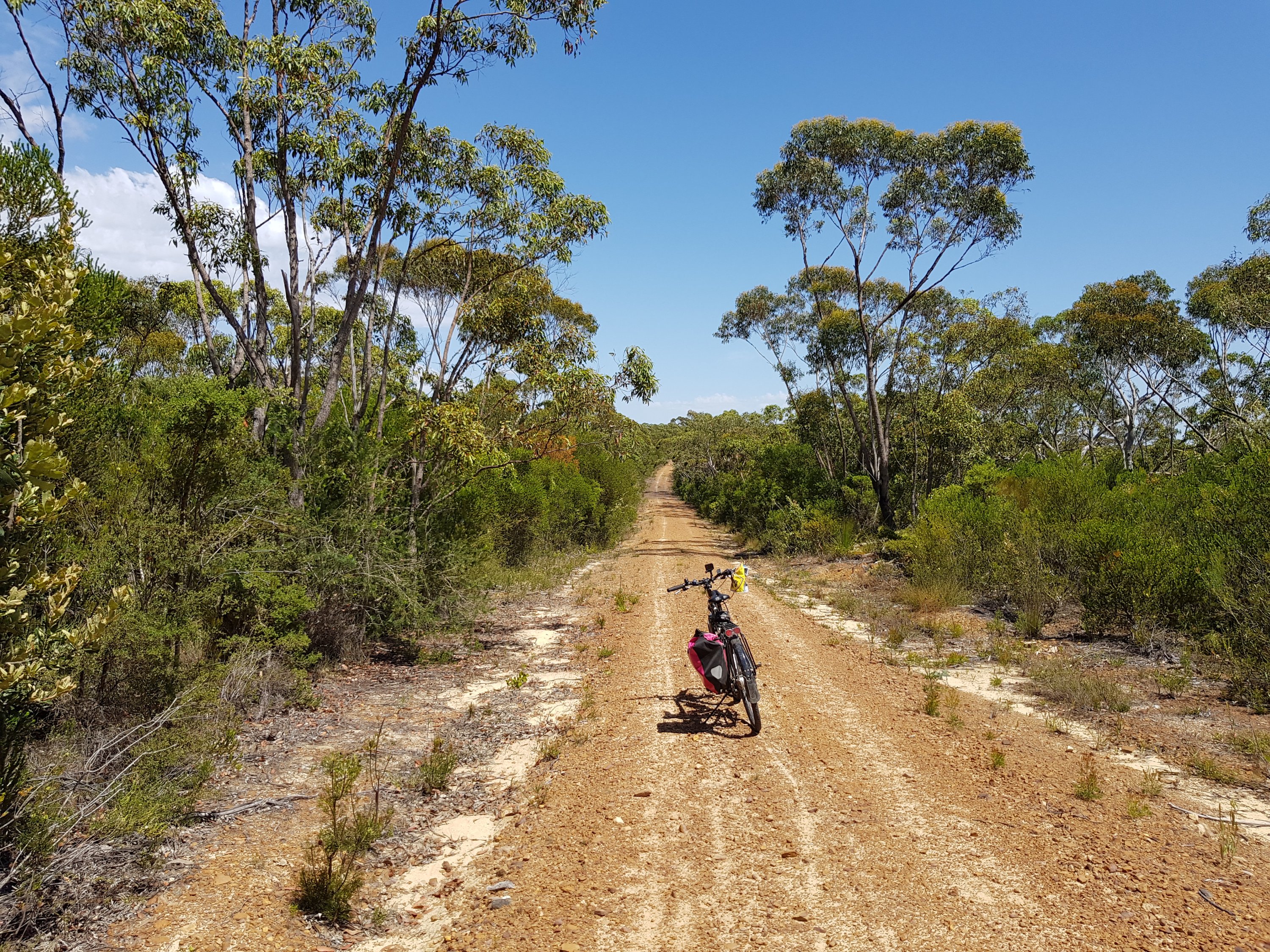
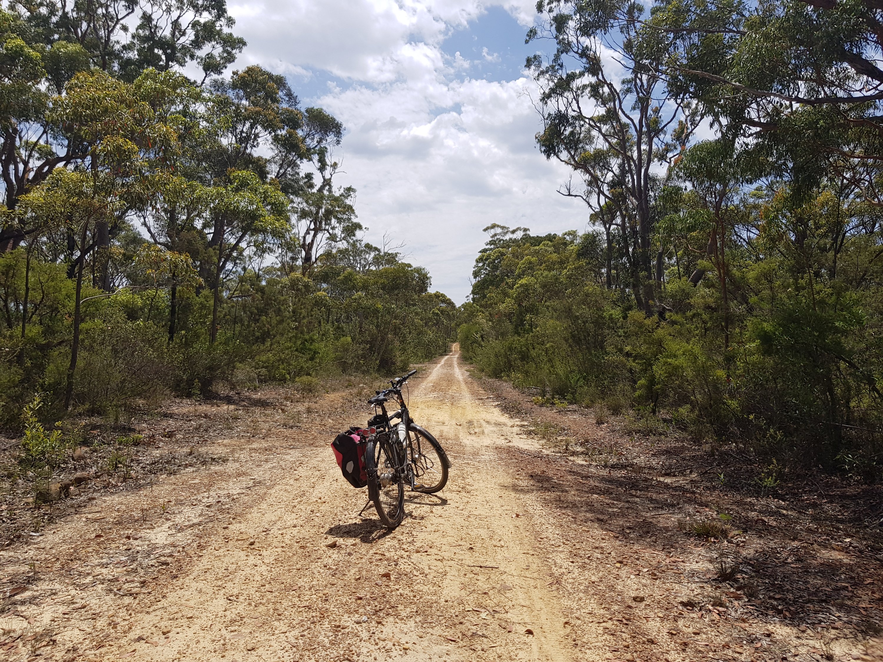
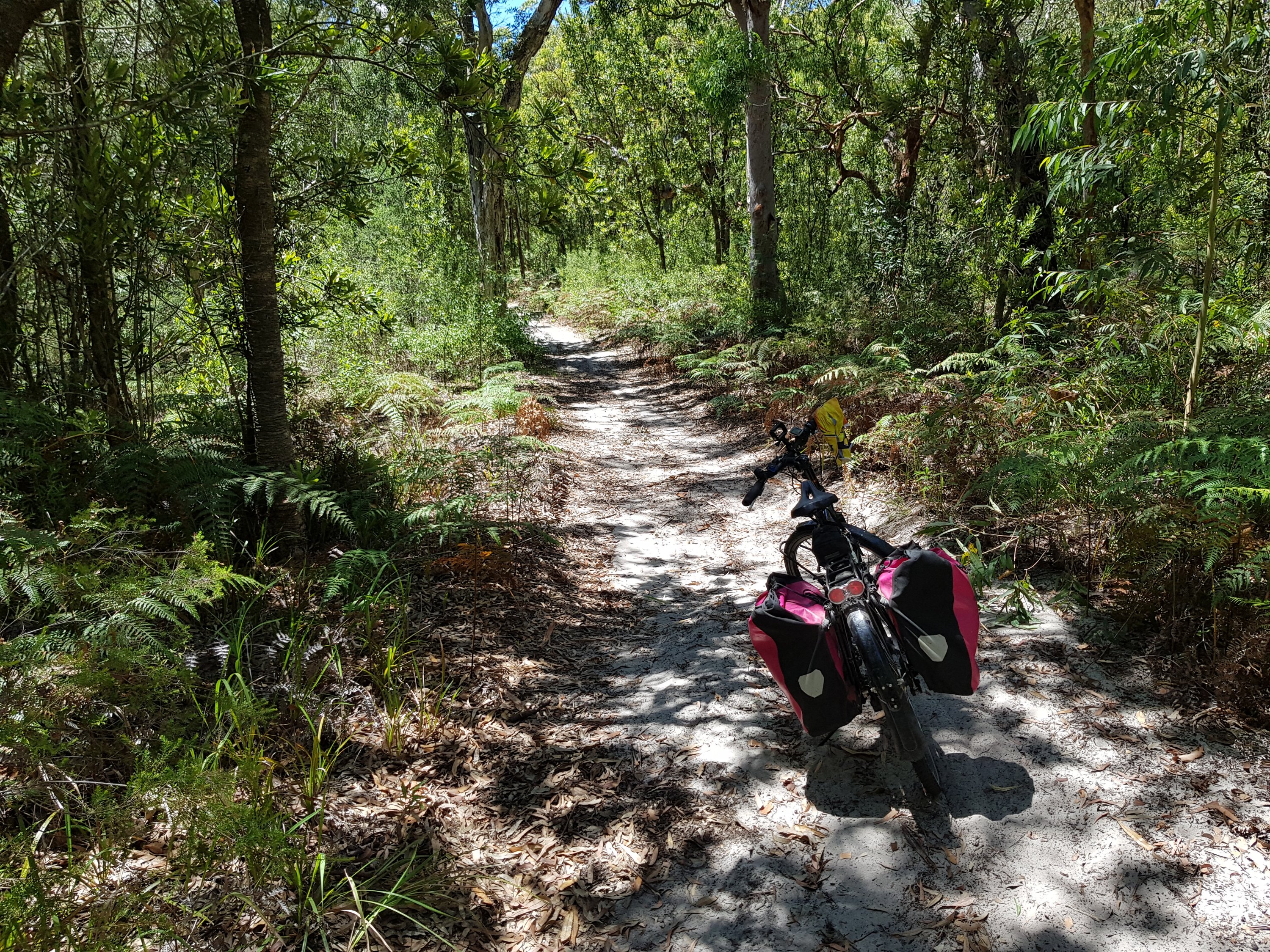
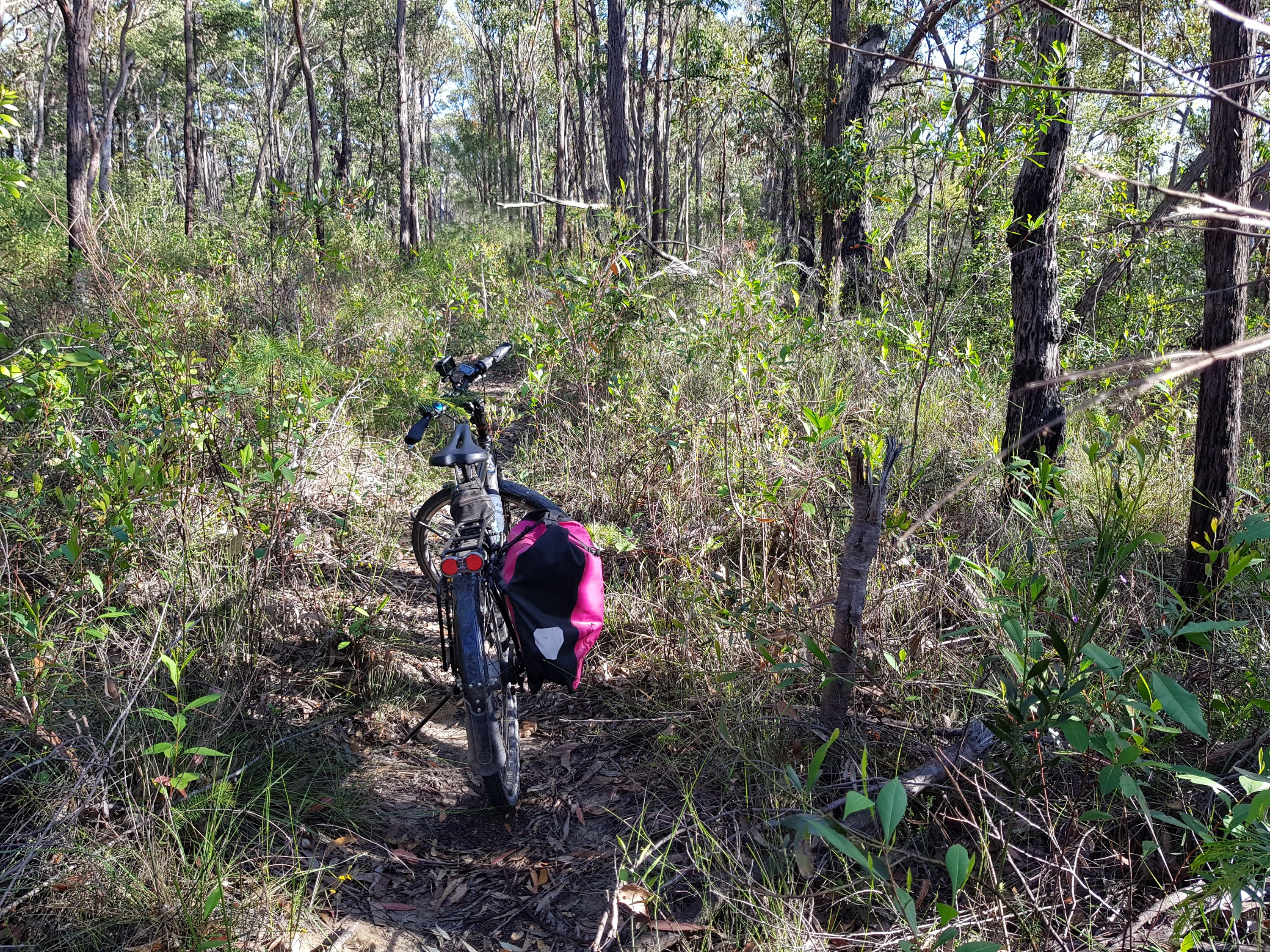
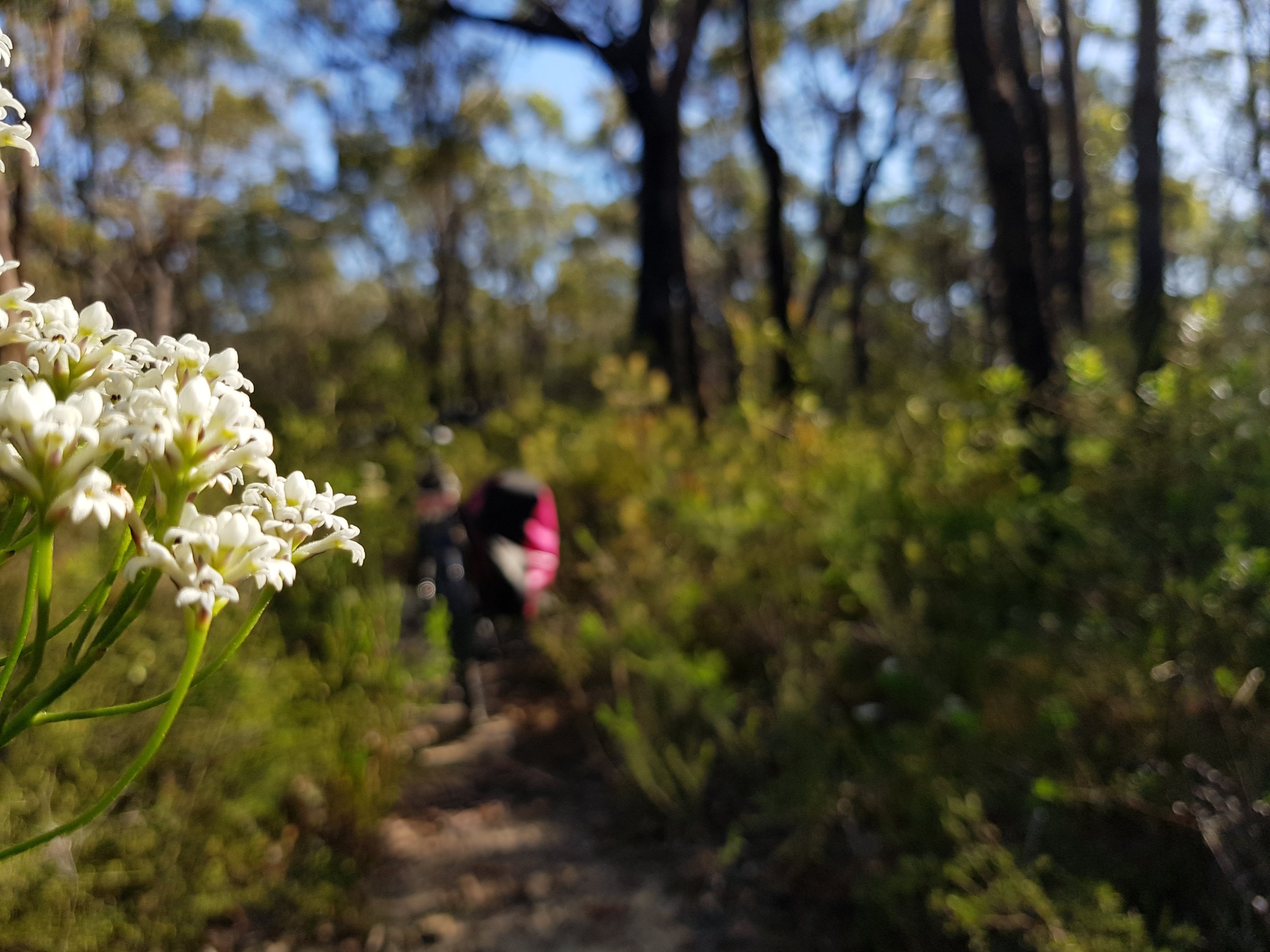
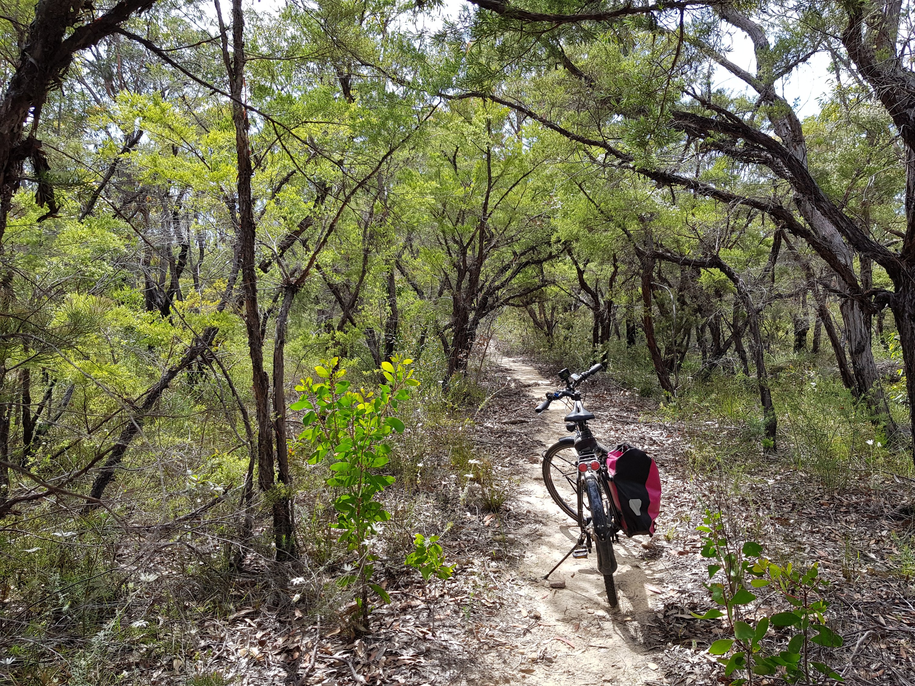
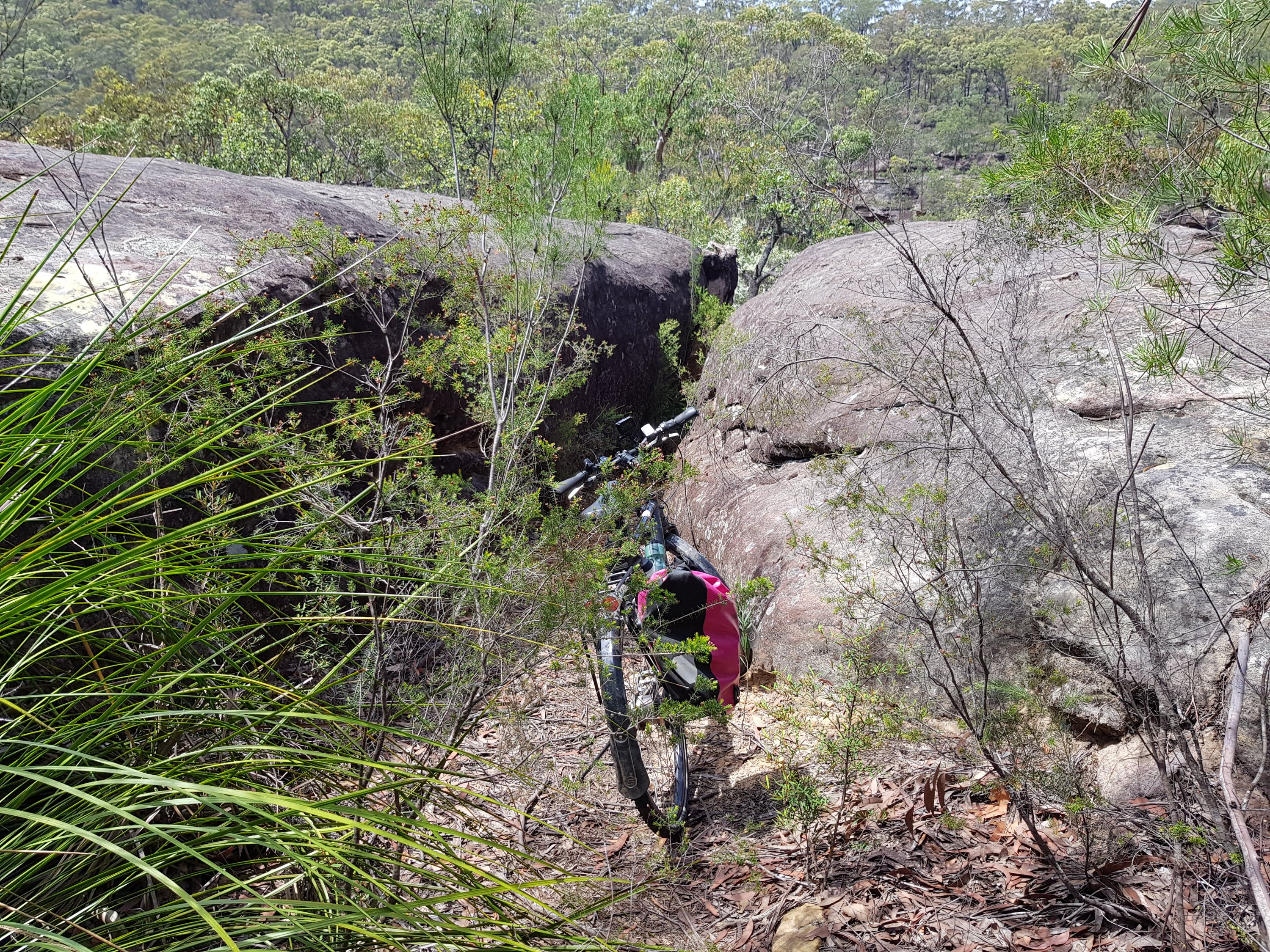
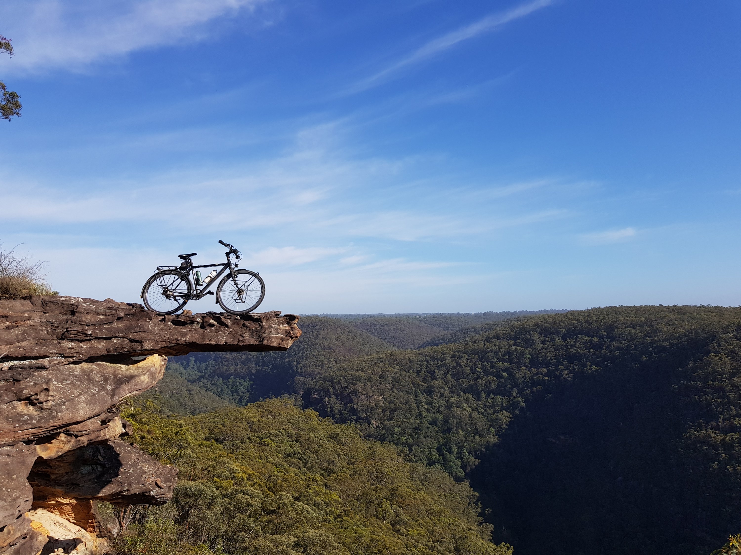
The Six Foot Trail
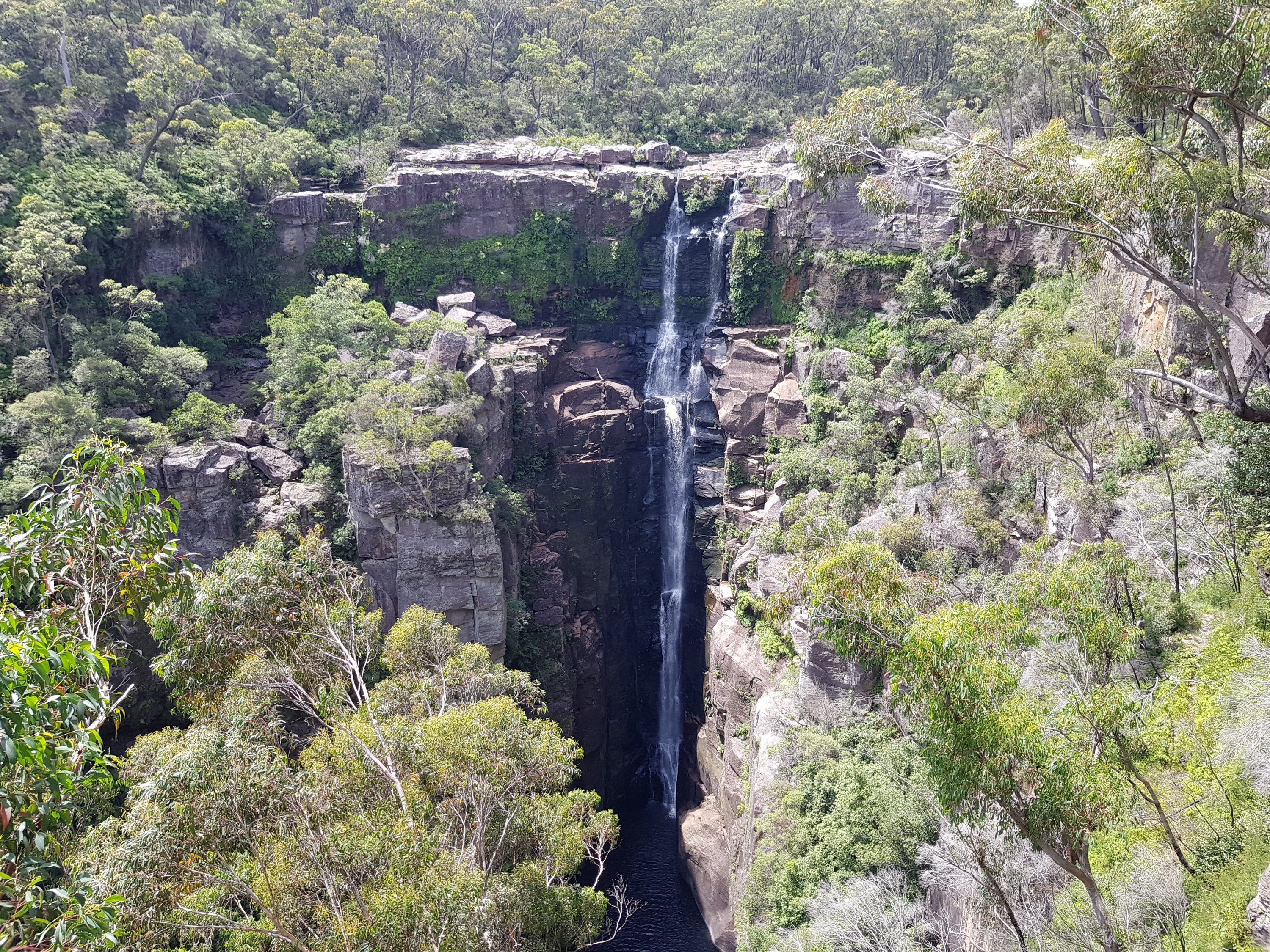
The Six Foot Trail
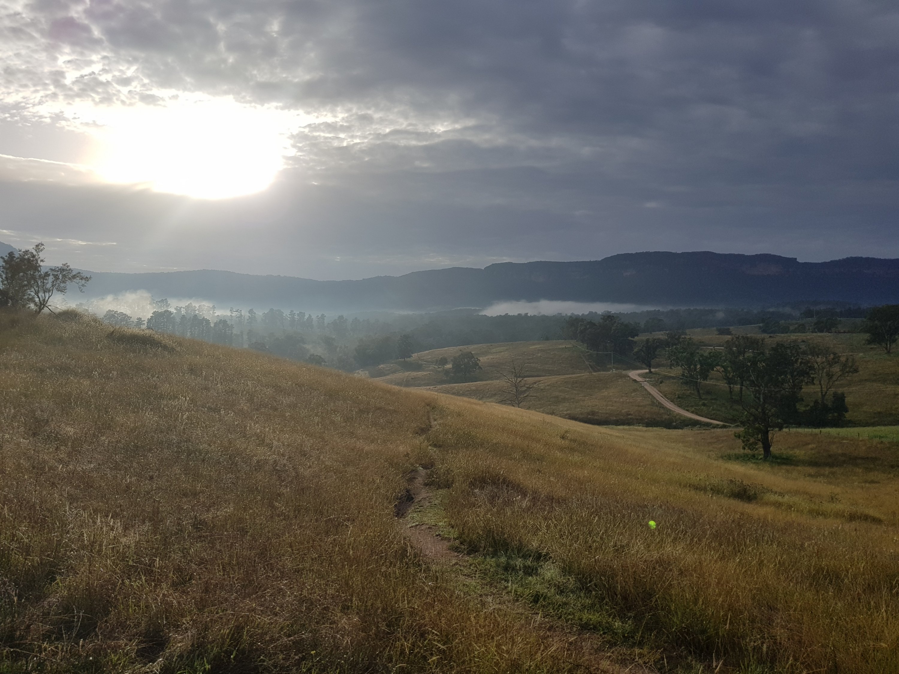
The morning sunlight over the Six Foot Trail
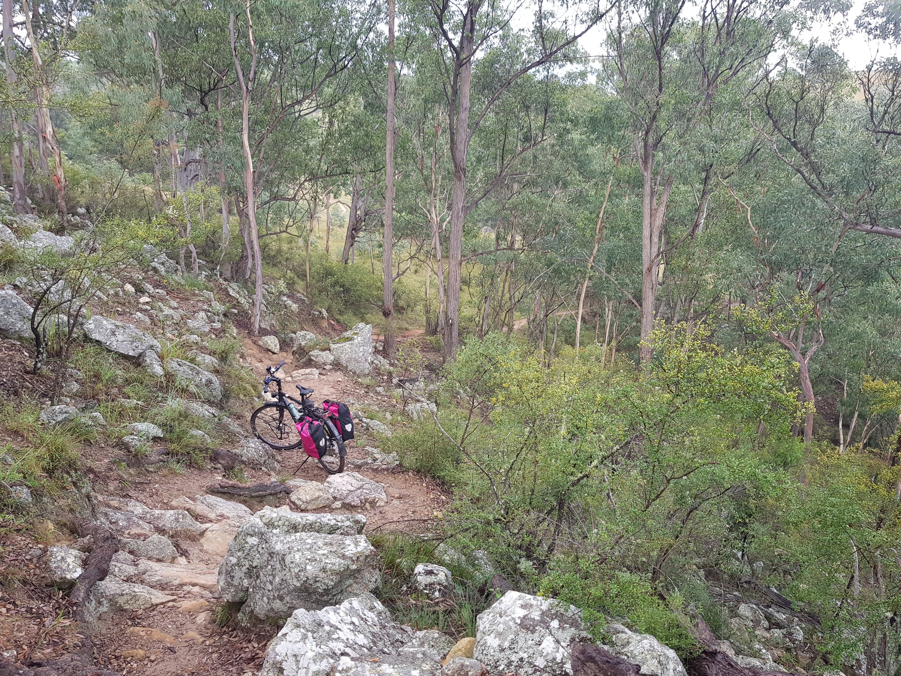
The Six Foot Trail
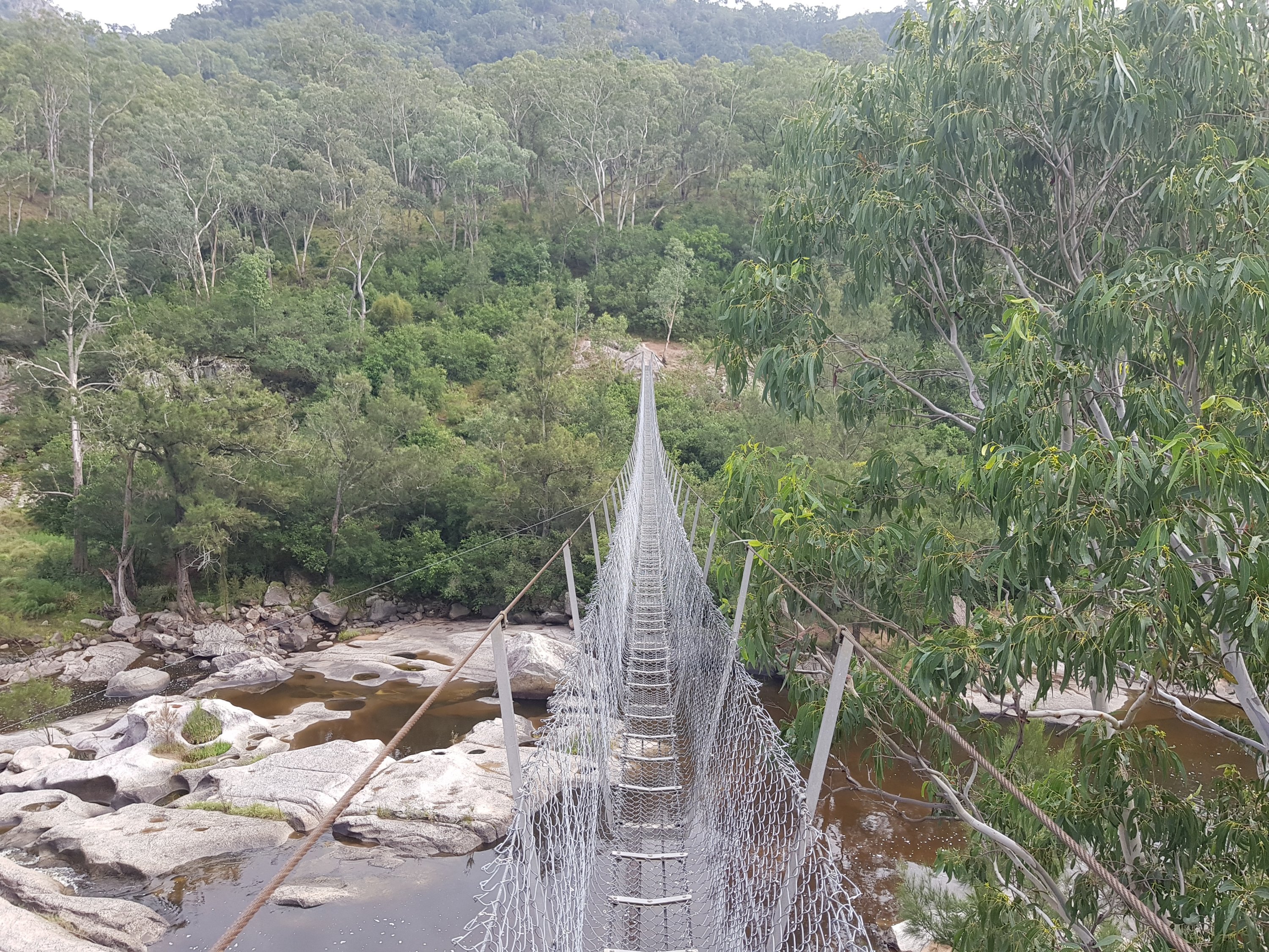
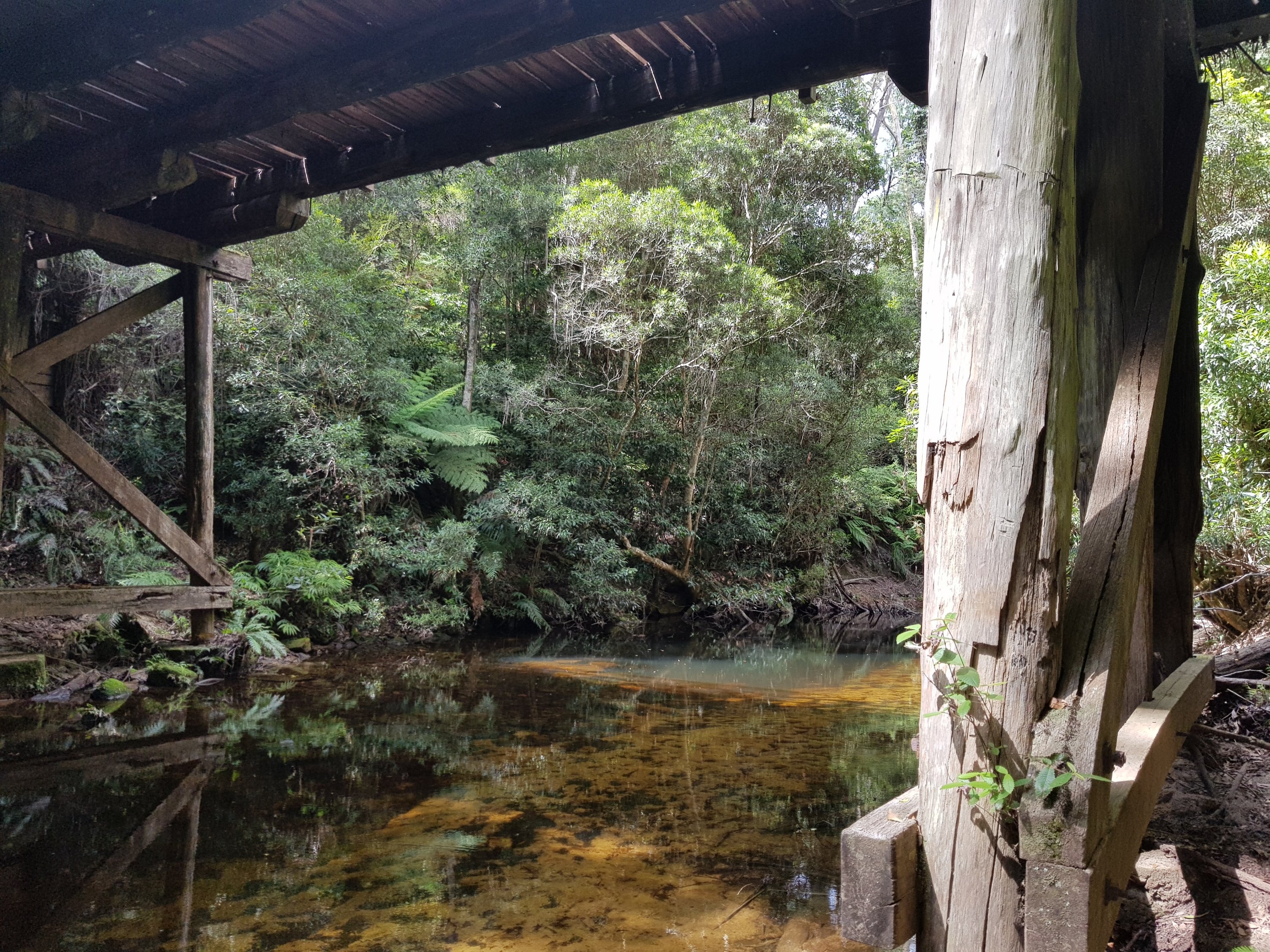
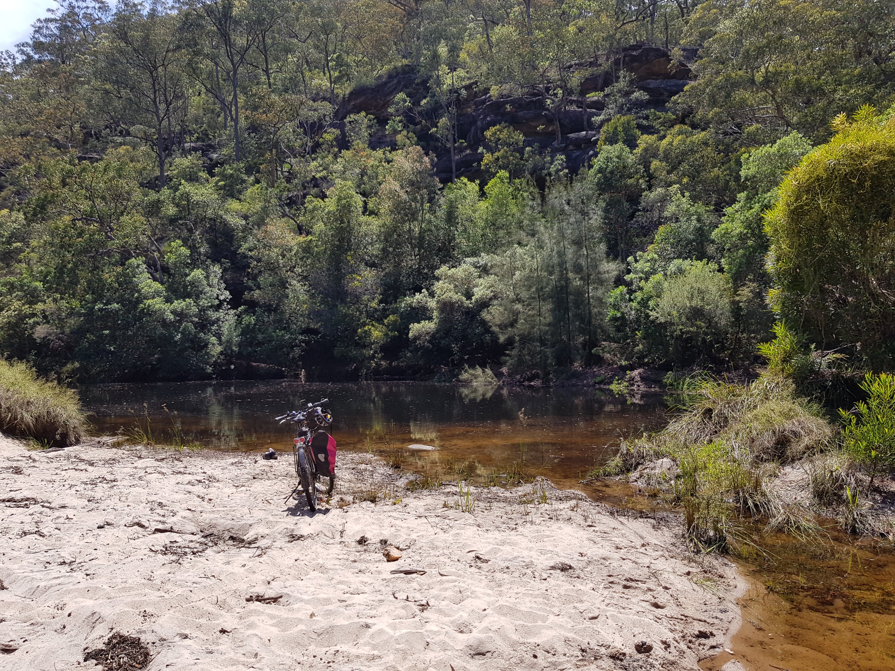
The suspension bridge over Cox’s River
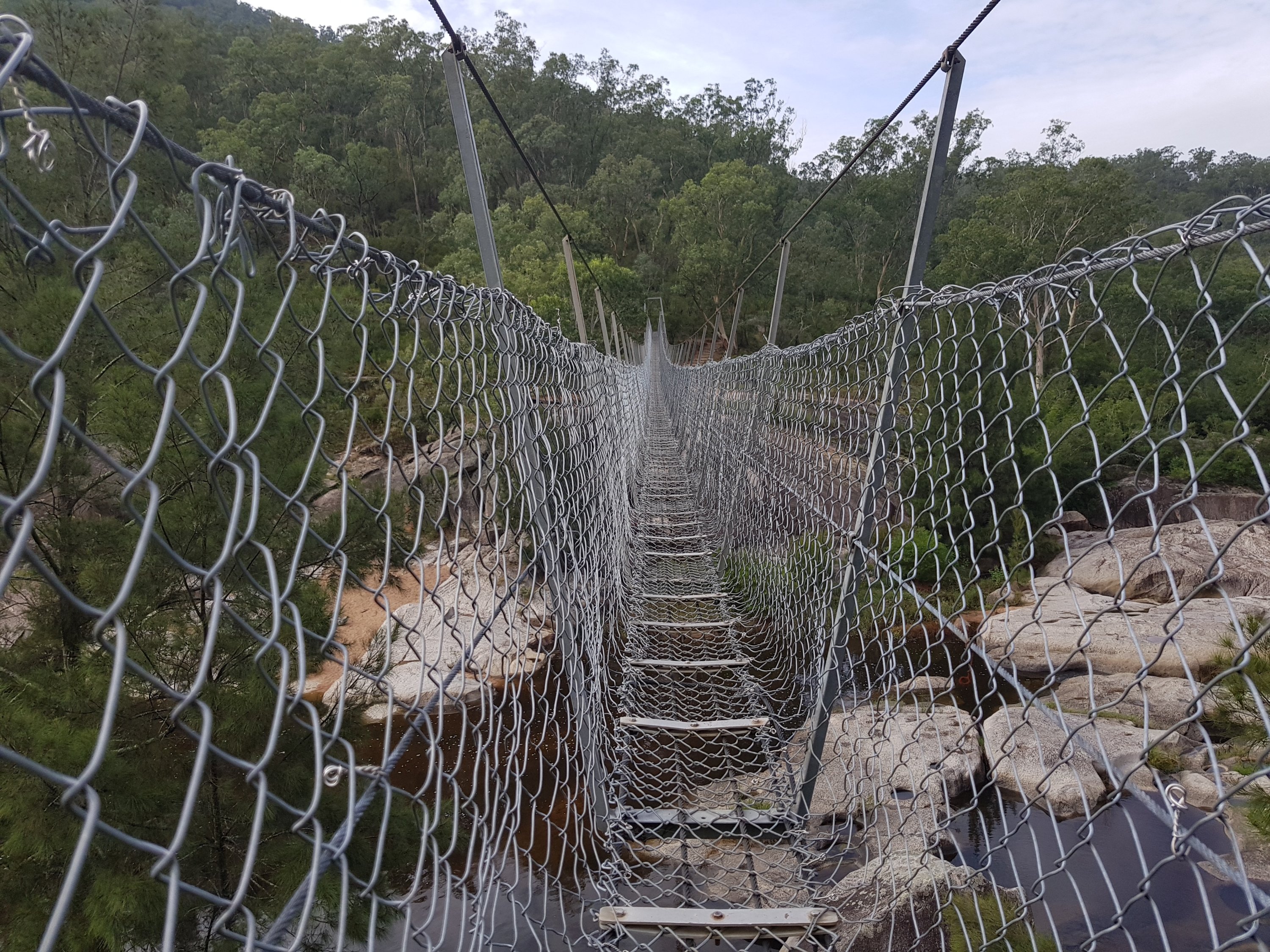
The suspension bridge over Cox’s River
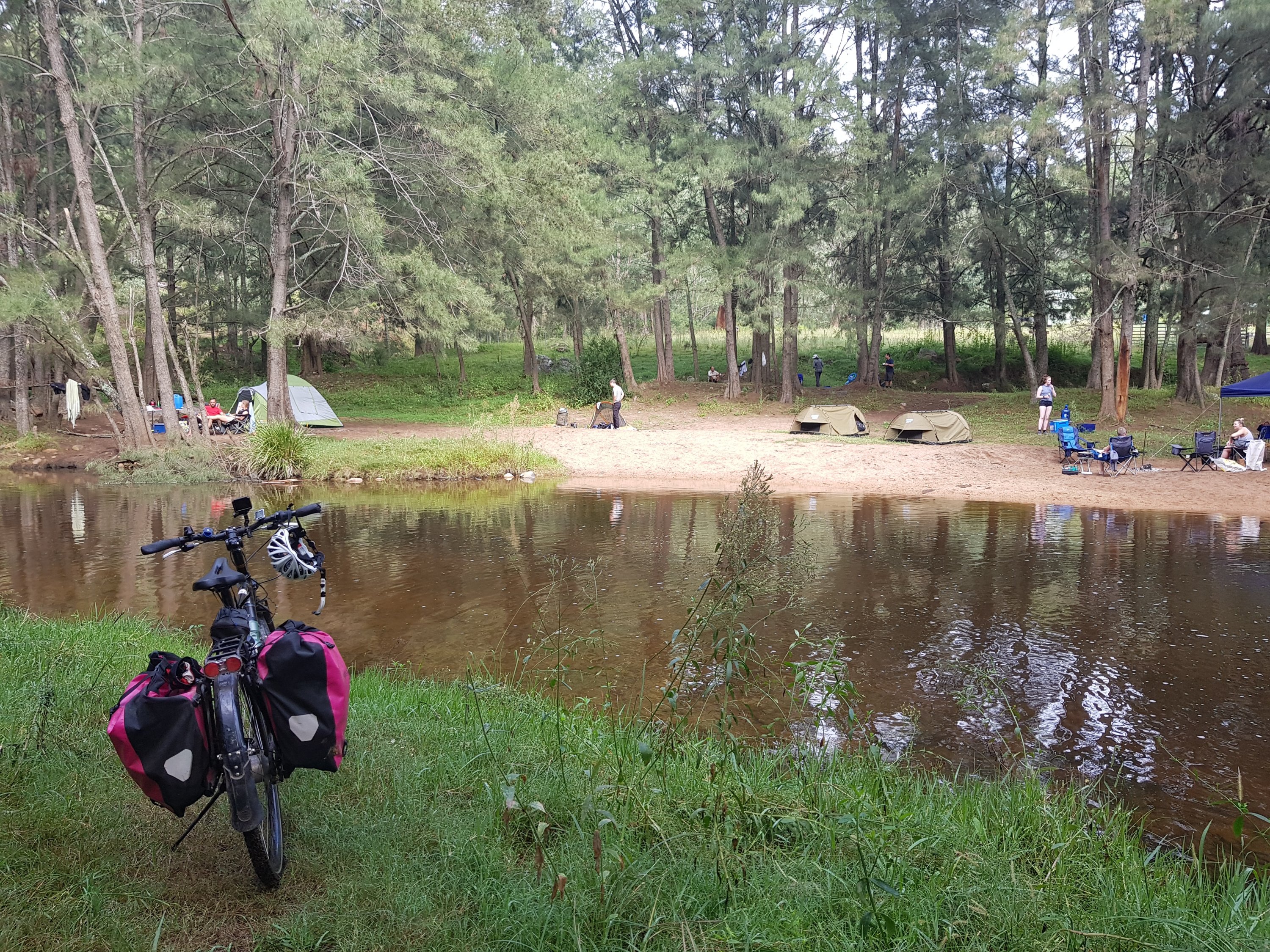
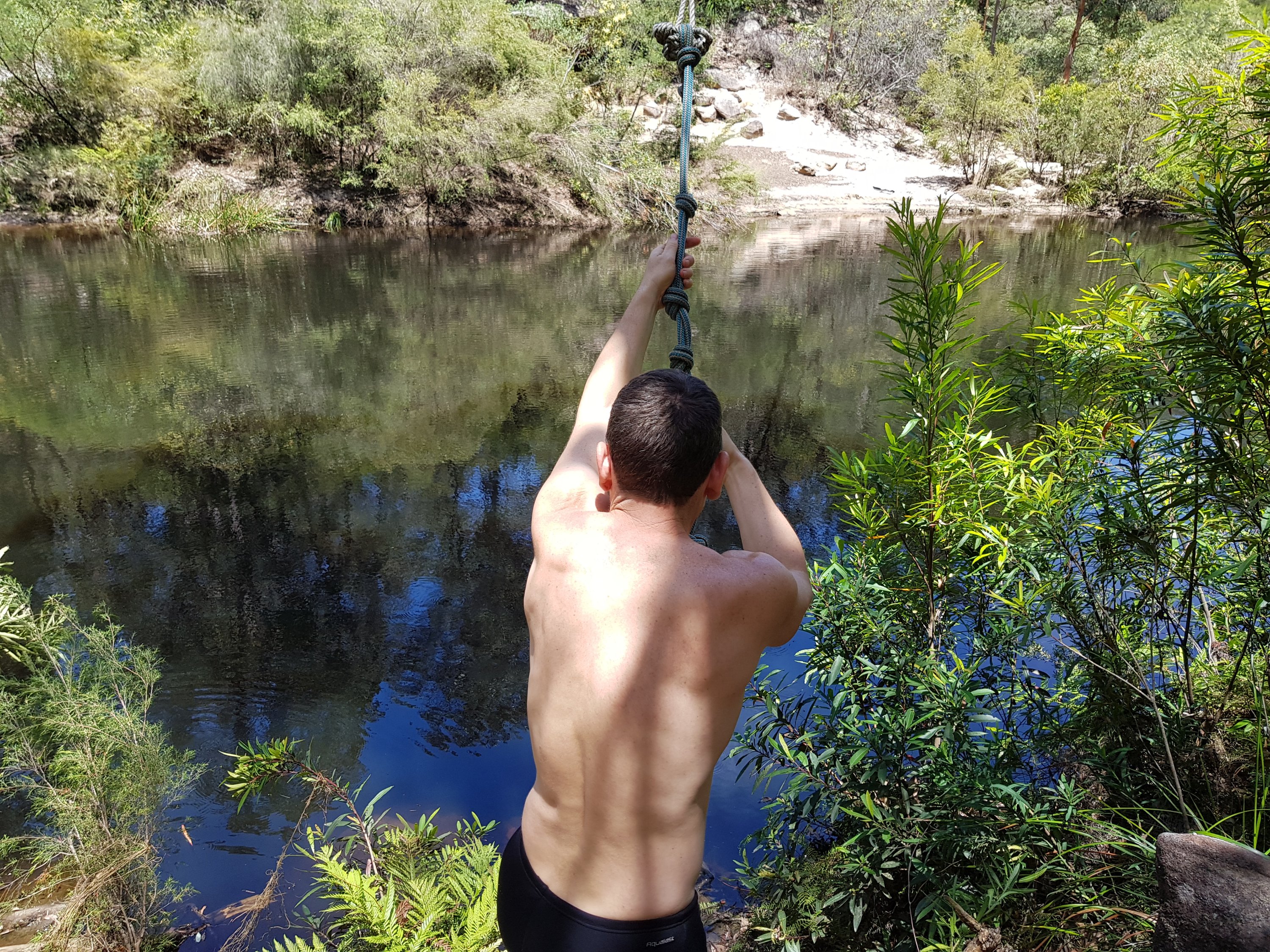
Crossing Cox’s River
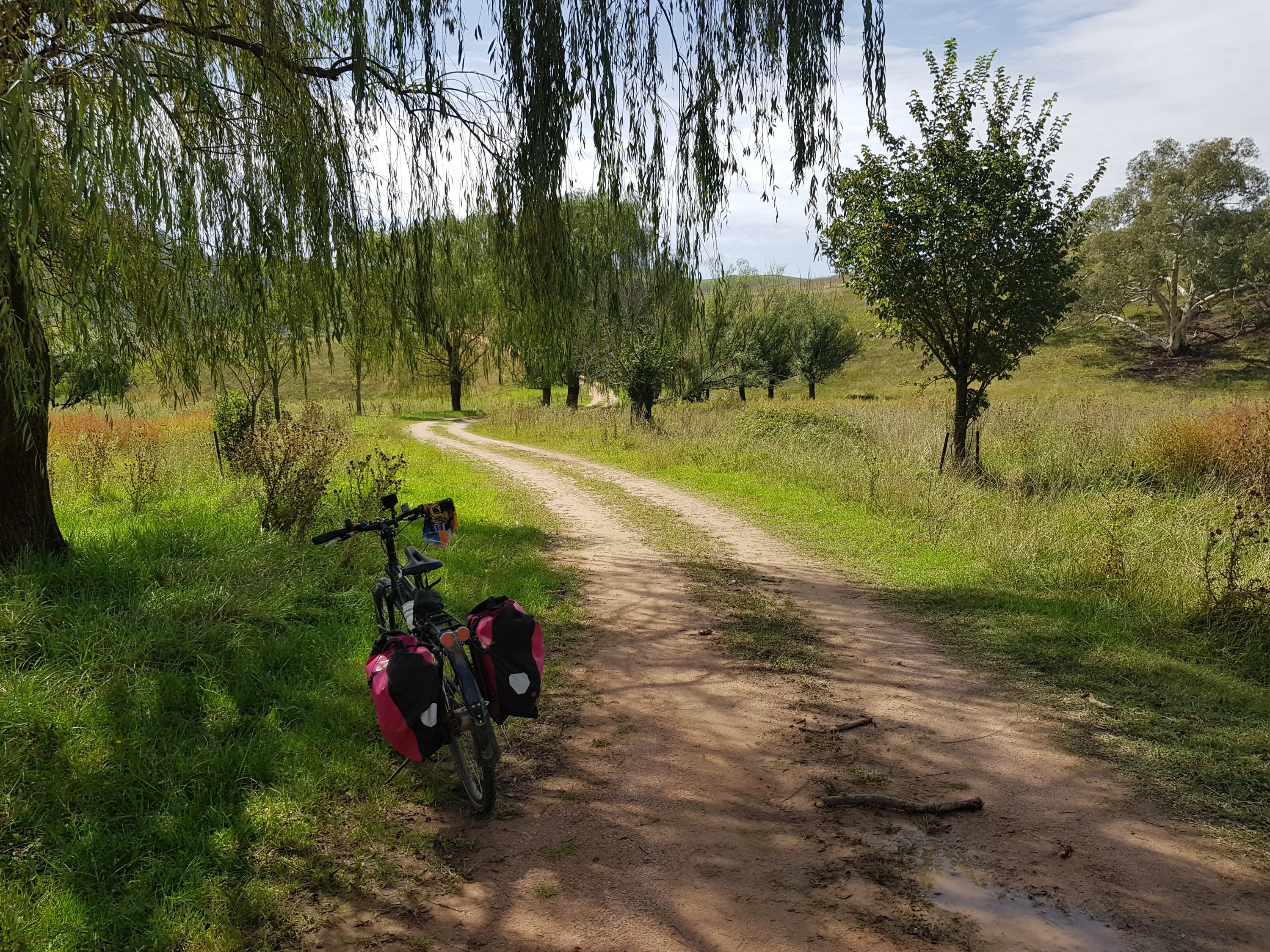
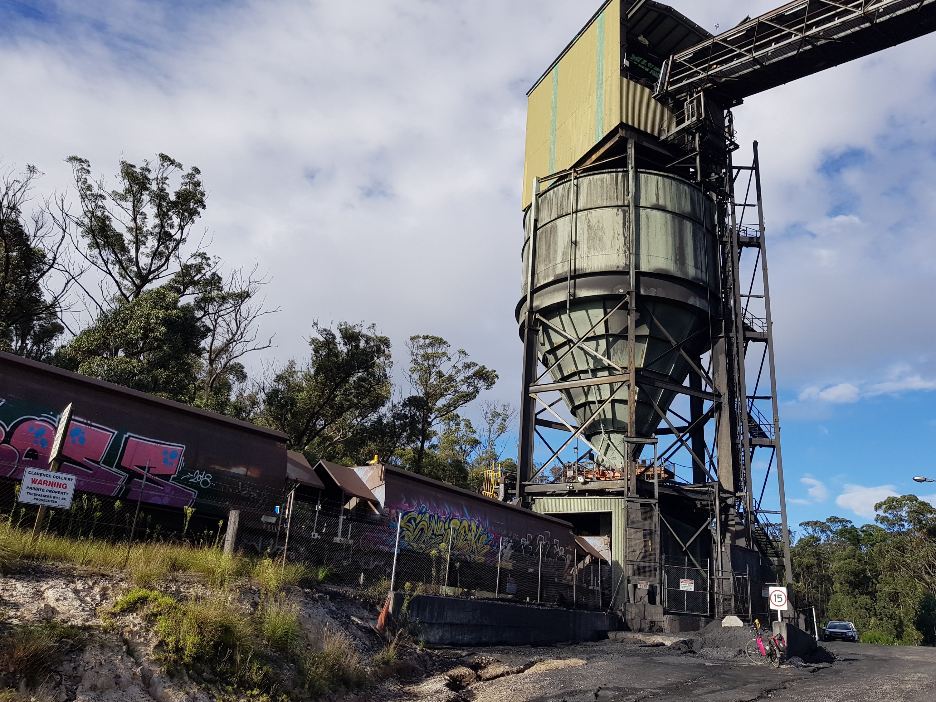
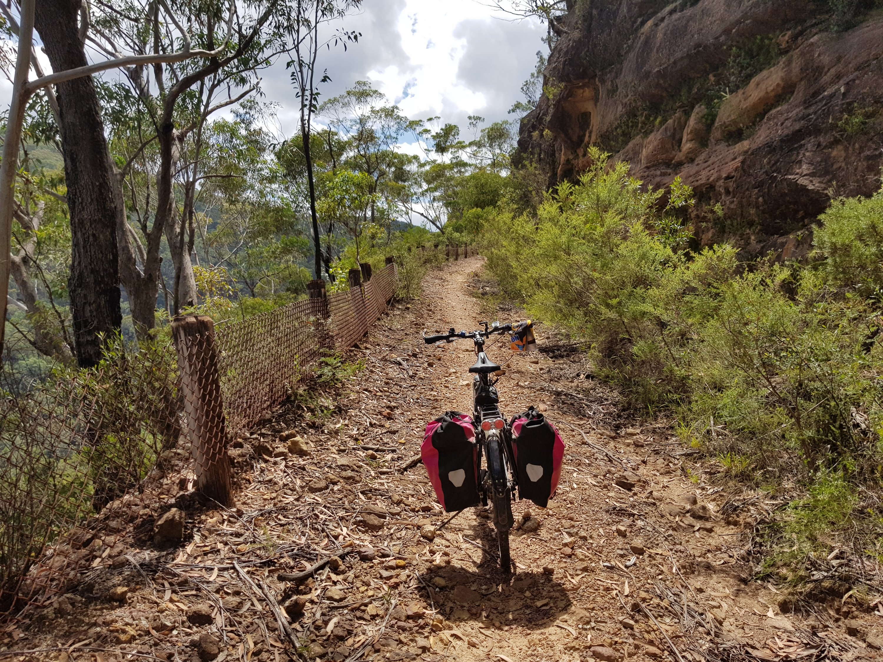
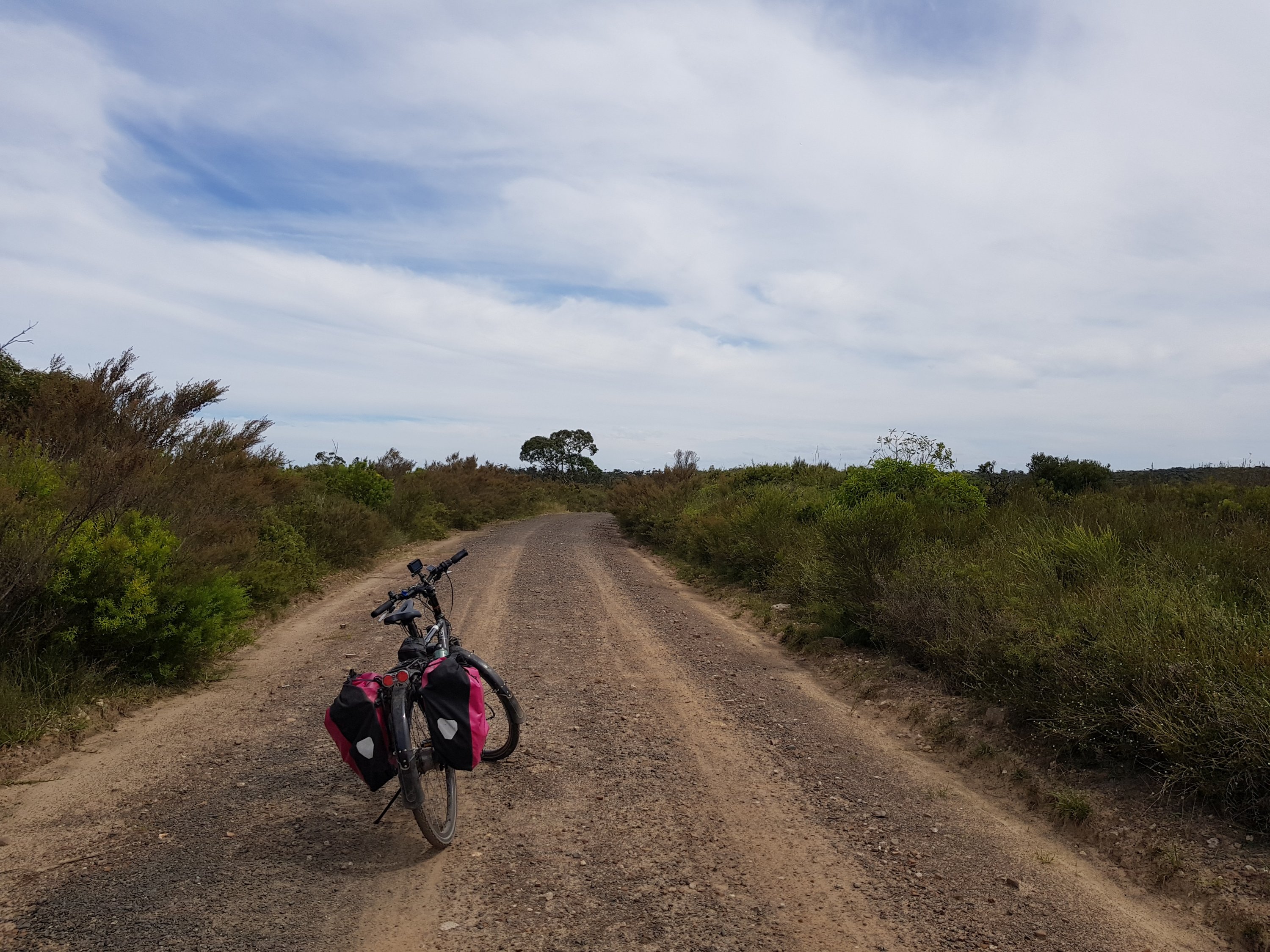
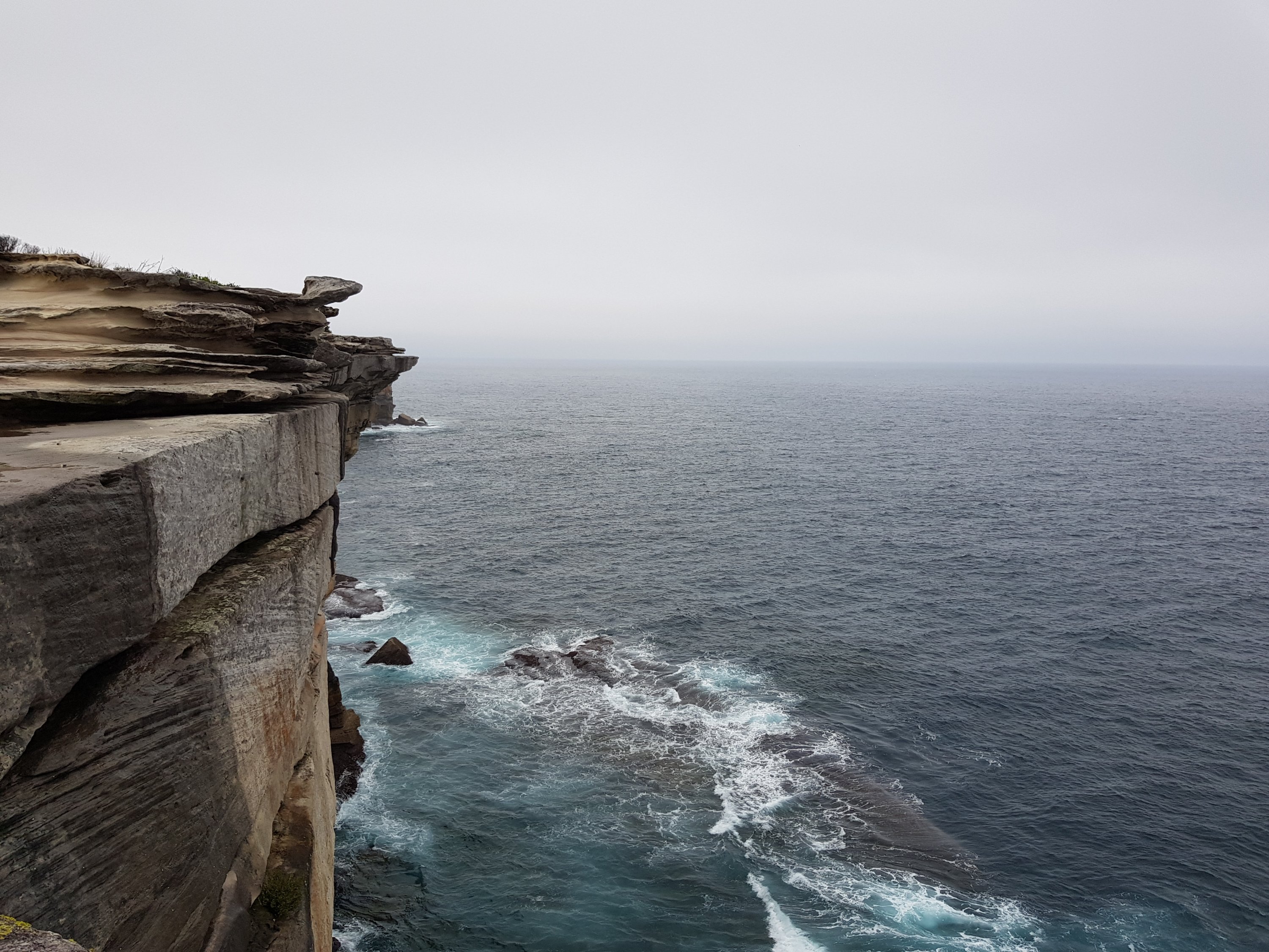
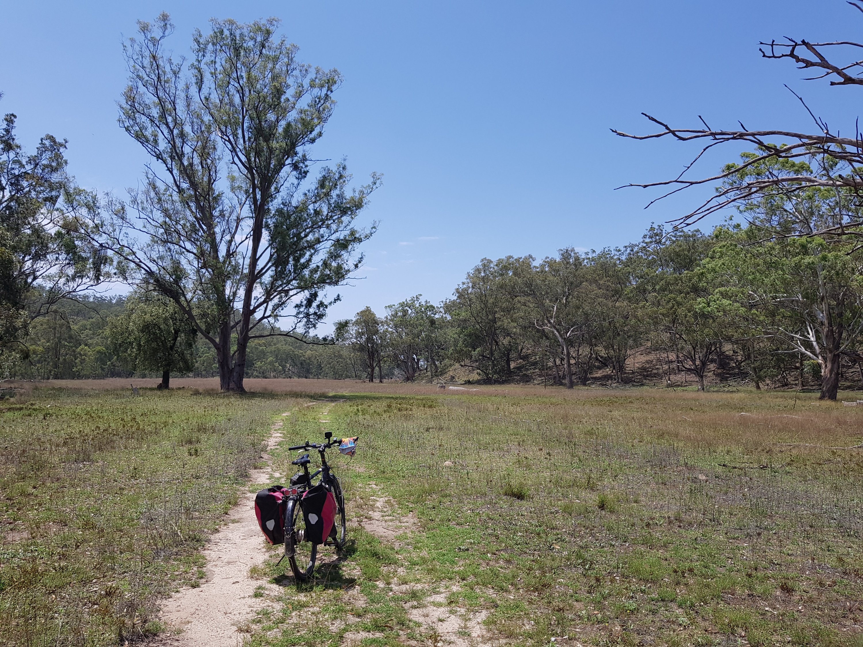
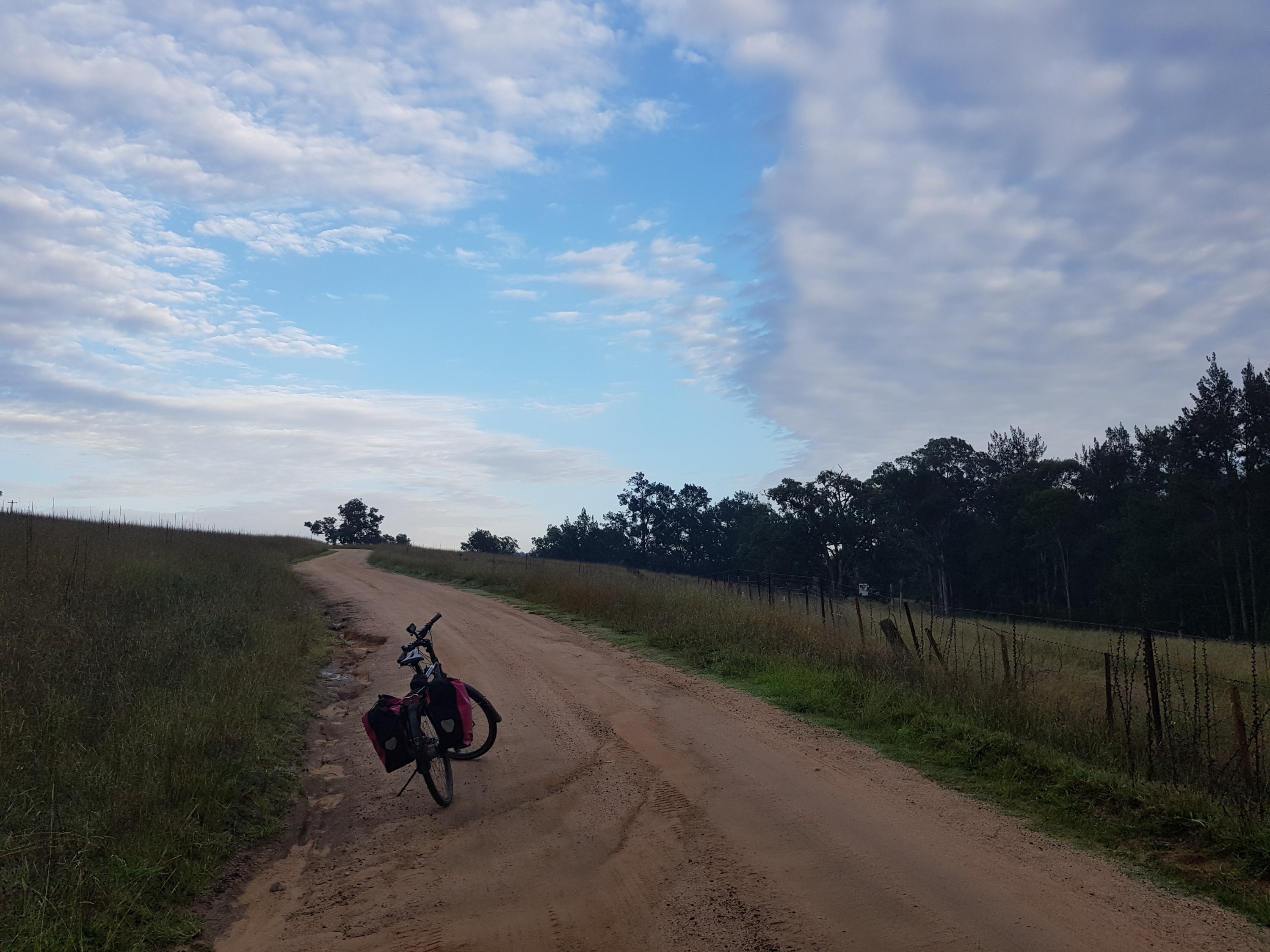
On the way back to the Great Western Highway
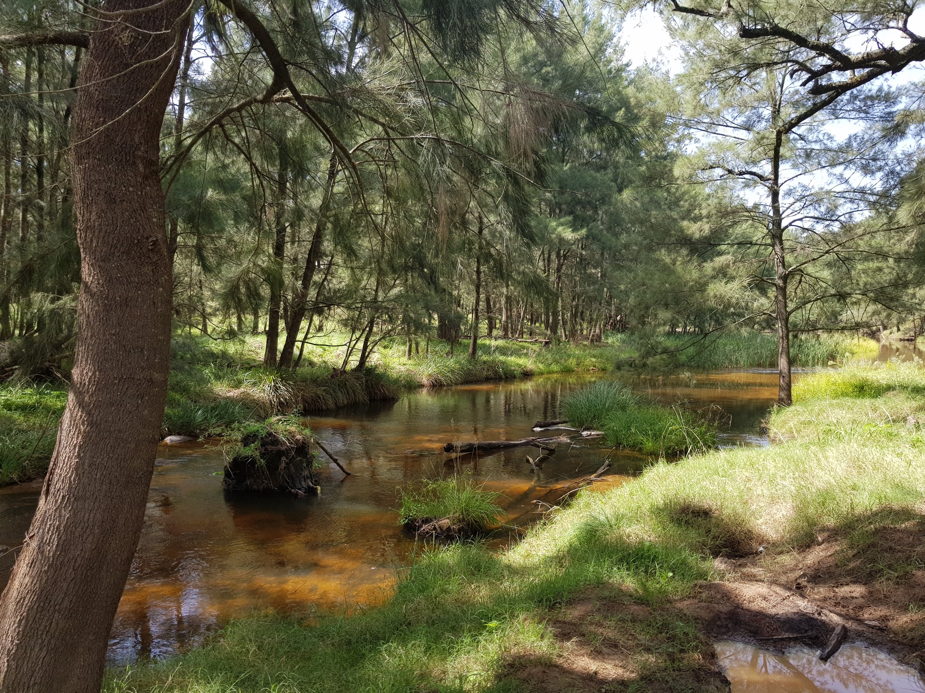
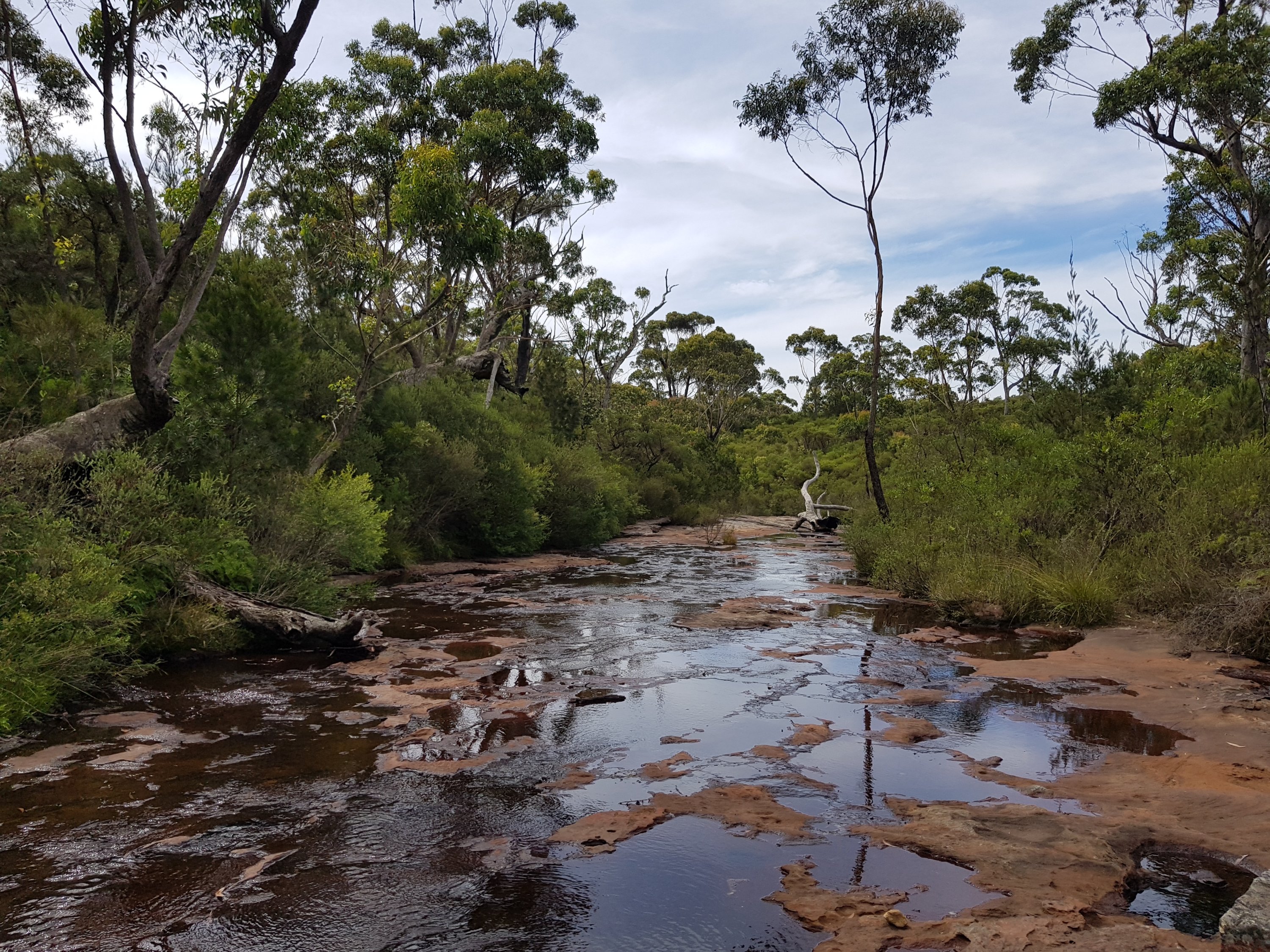
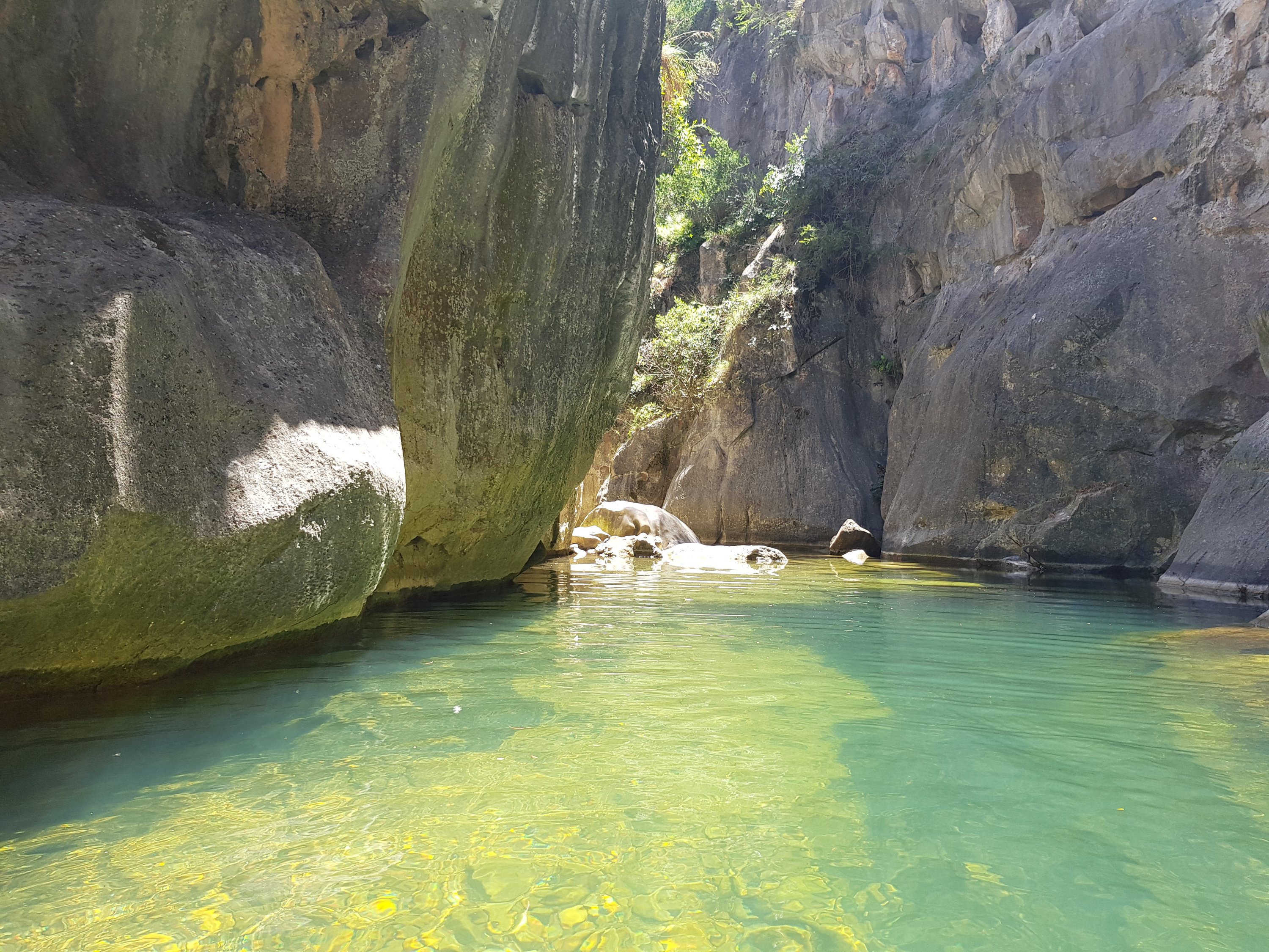
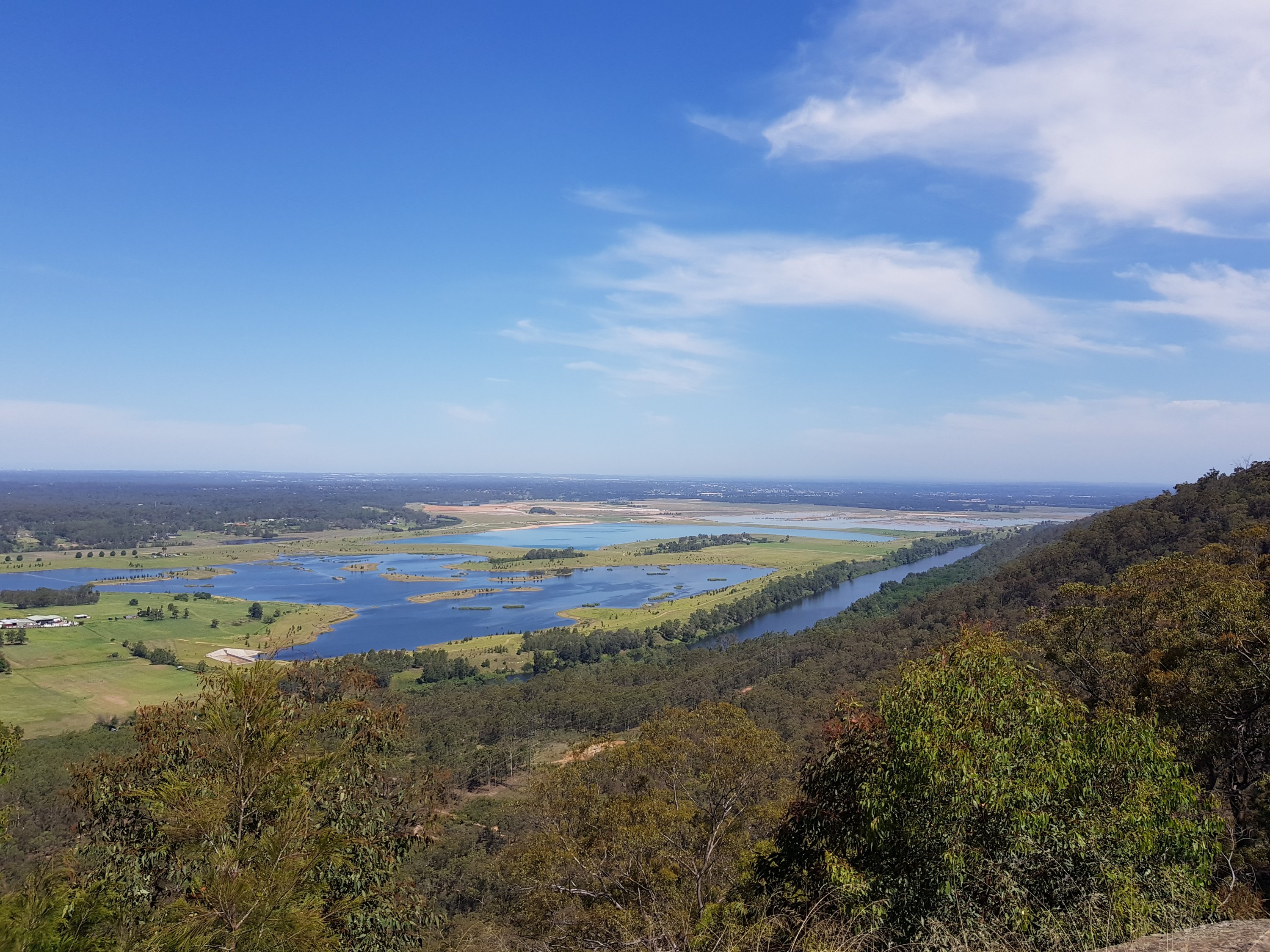
Cox’s River
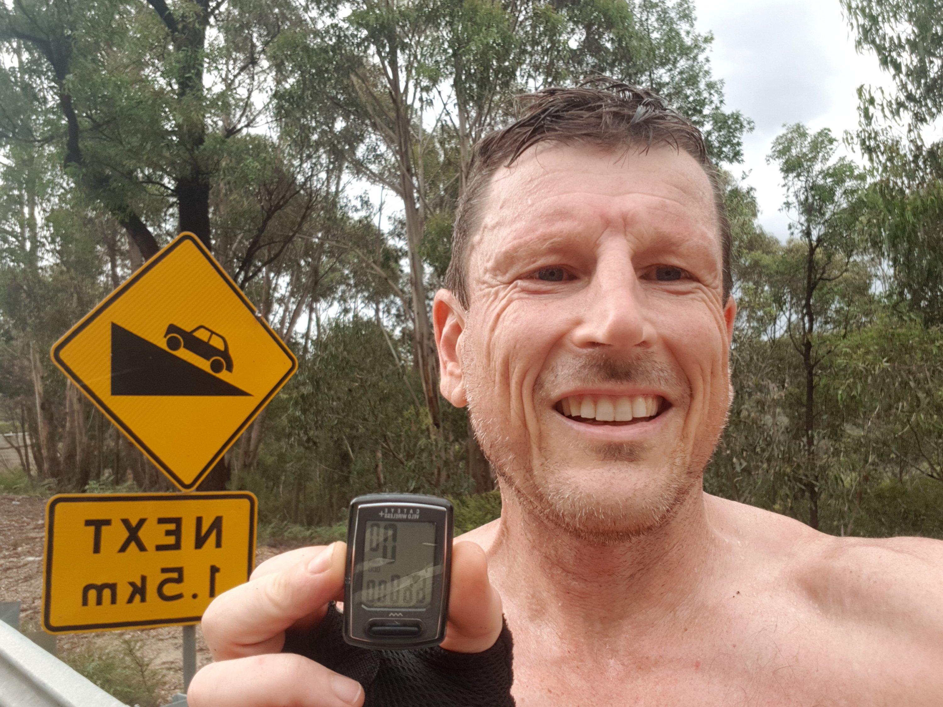
66,000km for the bike