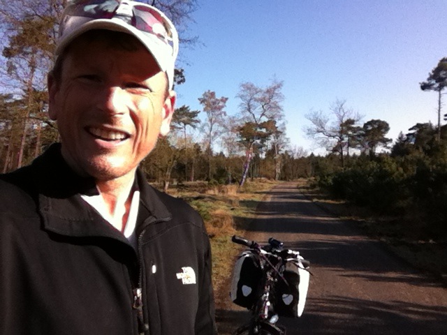
Weekend cycles are good to get ready (mentally and physically) for my 2 month cycle to the North Cape in 6 weeks. This weekend I left my home in Eindhoven, touched French soil (in Givet), and returned to Namur in Belgium to catch the train home.
Eindhoven – Givet – Namur. Info and gpx download on EveryTrail
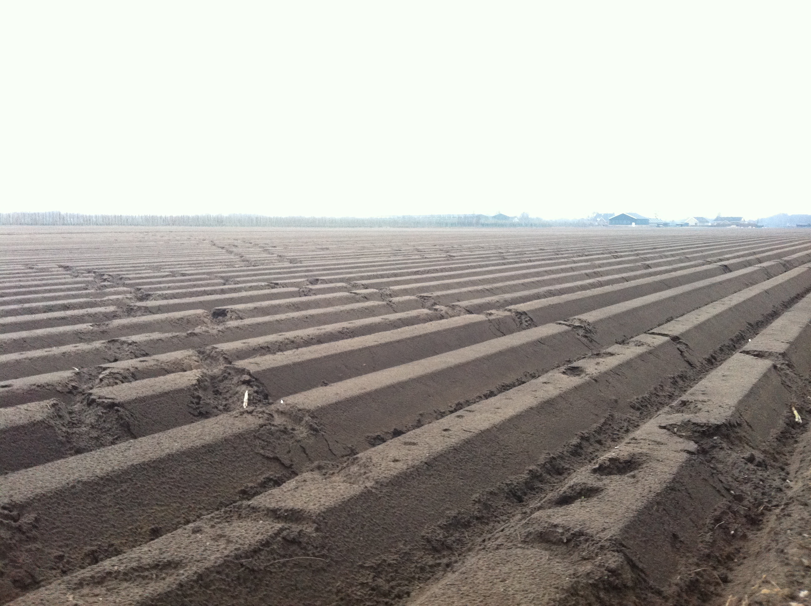
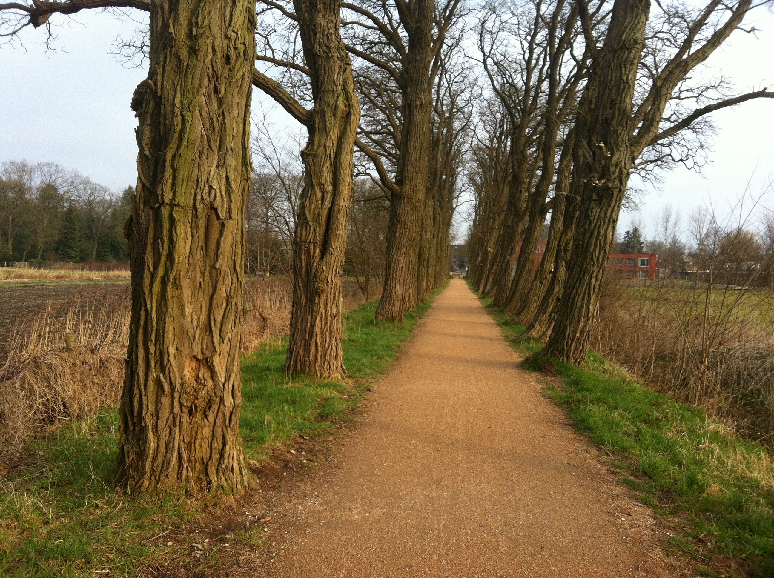
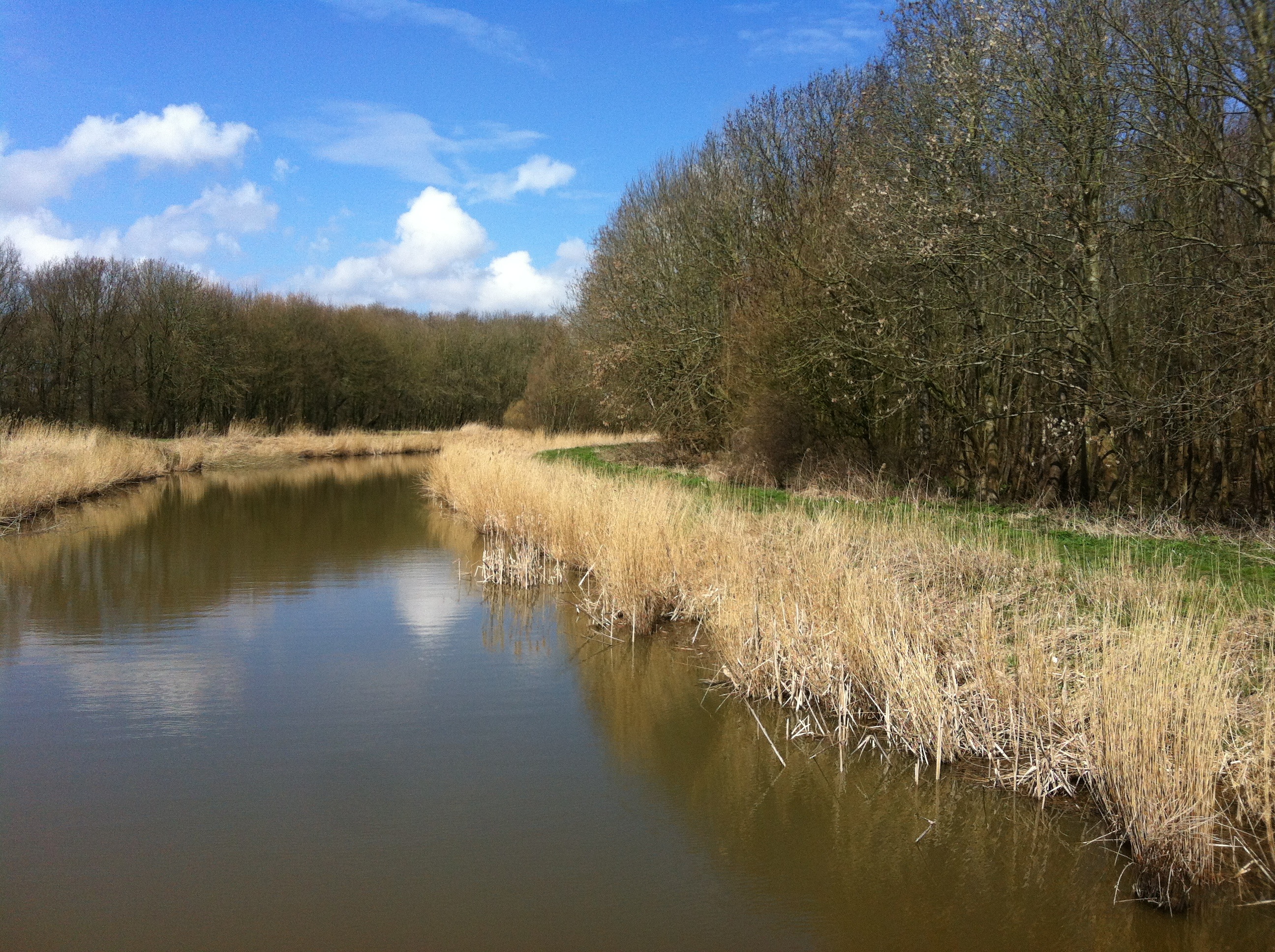
Flat and curvy is better than up and down, and up and down. This trip I followed the Maas River (which is flat and curvy), starting with passing through my favourite forest, then cycling along my favourite canal – a canal following the Maas on the Belgian side of the border.
Leendebos
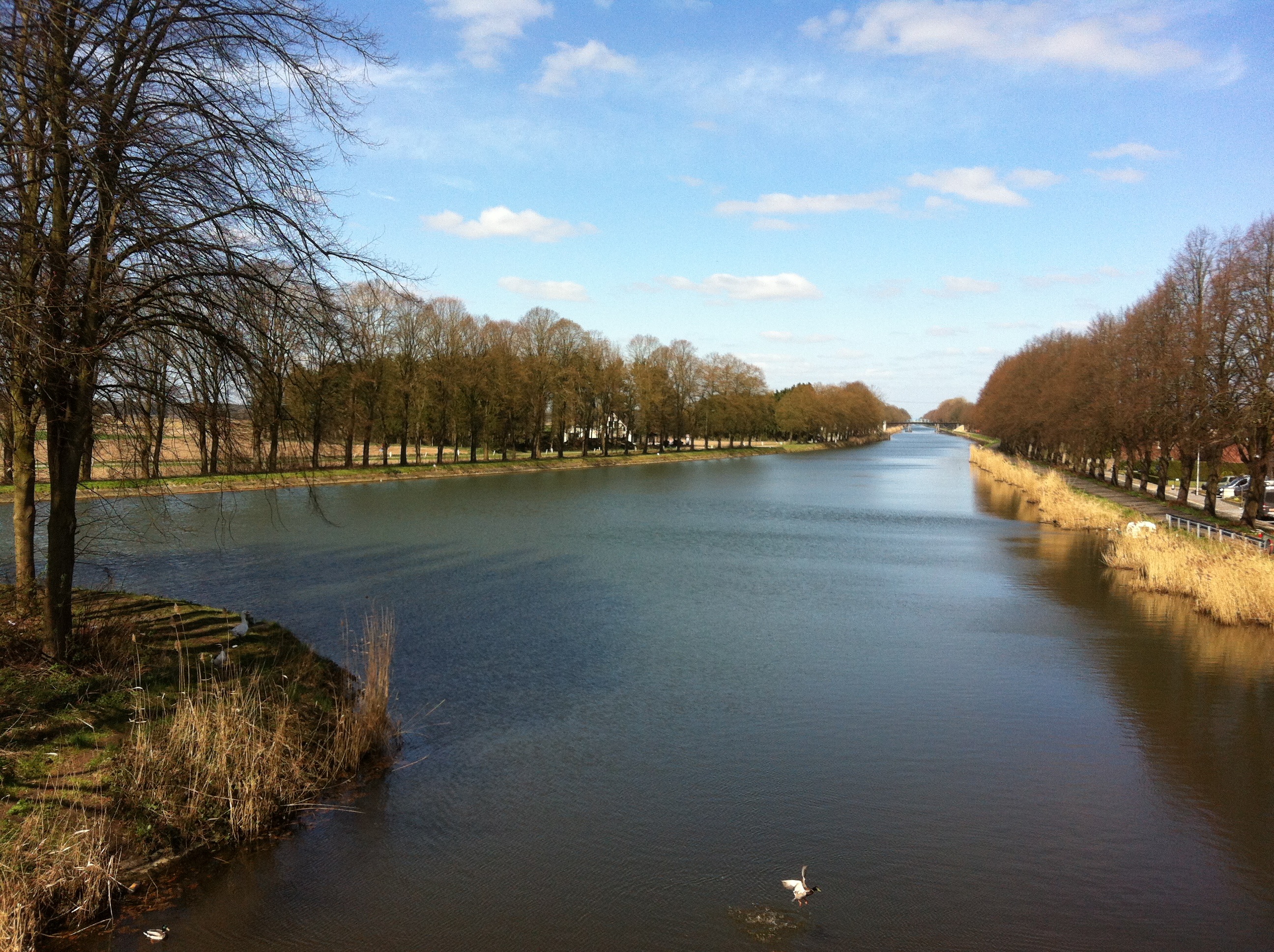
The view over the canal following the Dutch – Belgian border
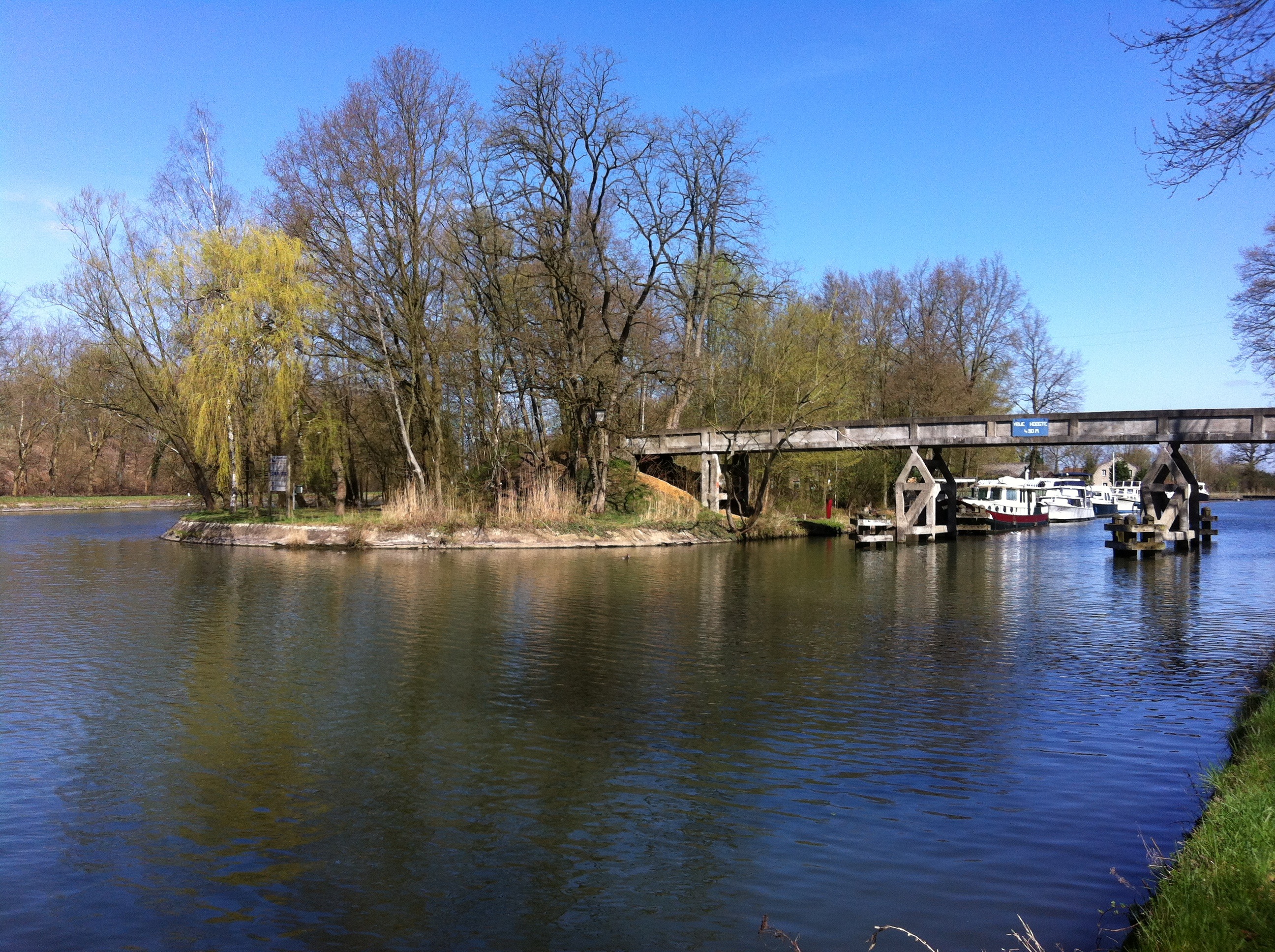
Lovely island in the canal.
I had chosen to cycle south as the wind was blowing that way. When I have no concrete destination in mind – cycle where the wind blows. I will have enough headwinds cycling to the North Cape.
After Maastricht (well, skirting around it), I entered new territory. Castles, fields and a beautiful river – the Maas (Meuse).
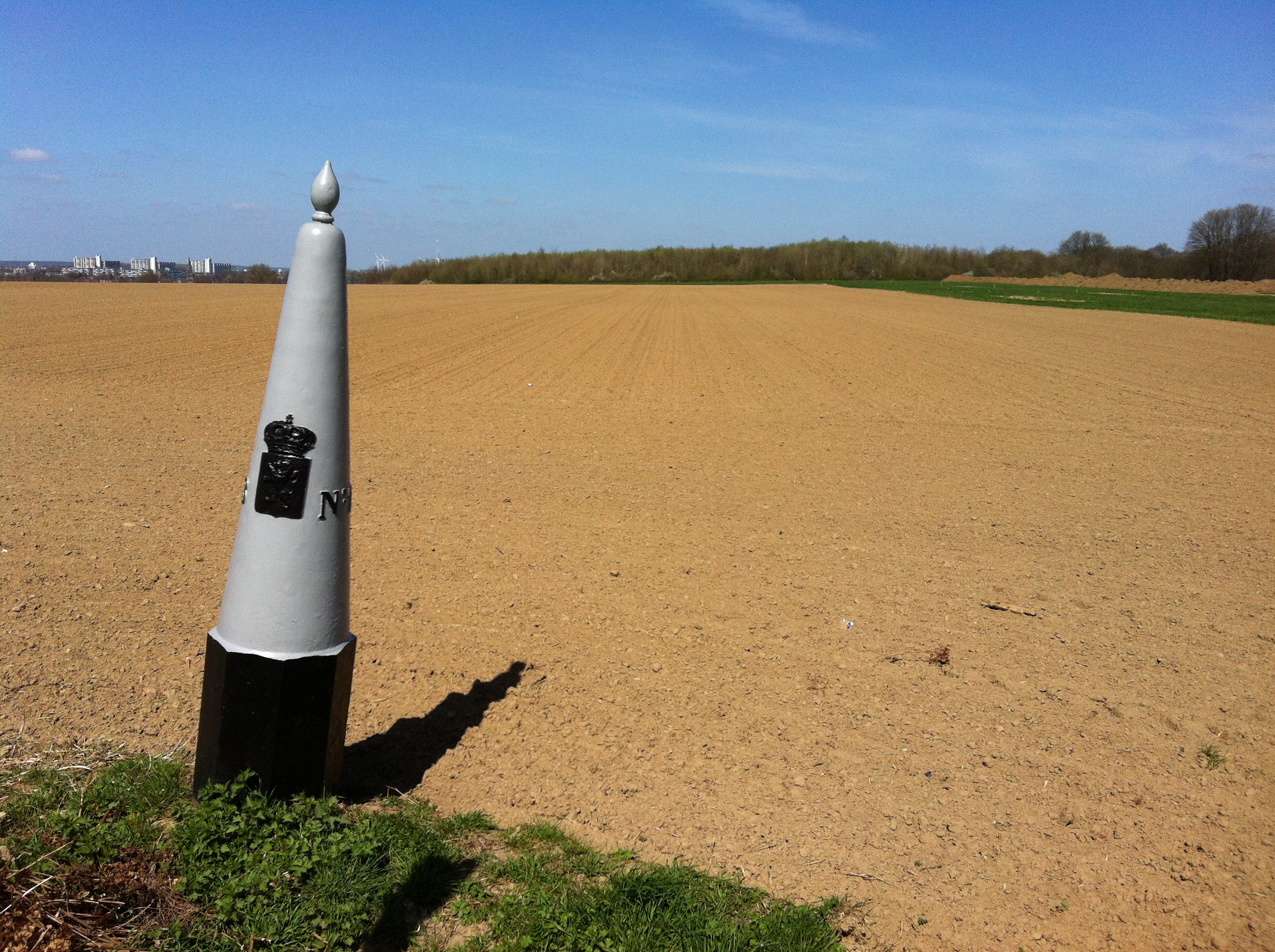
Border post
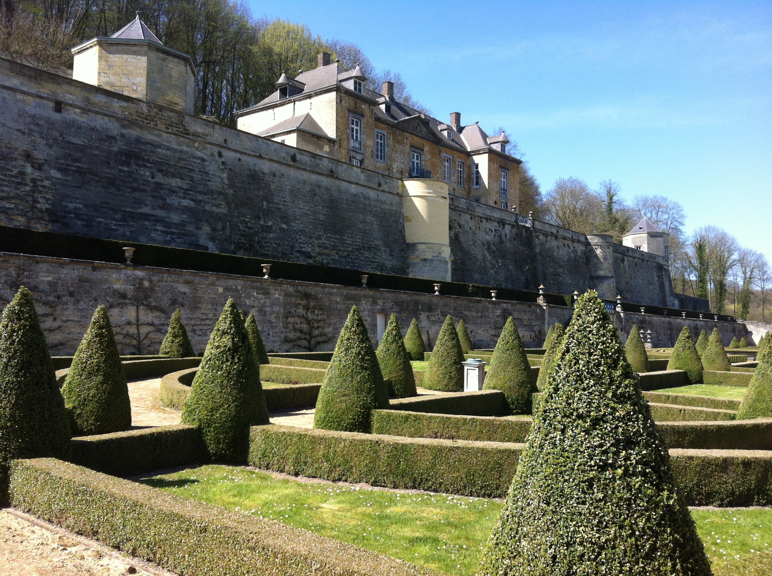
Castle at the Dutch-Belgian border
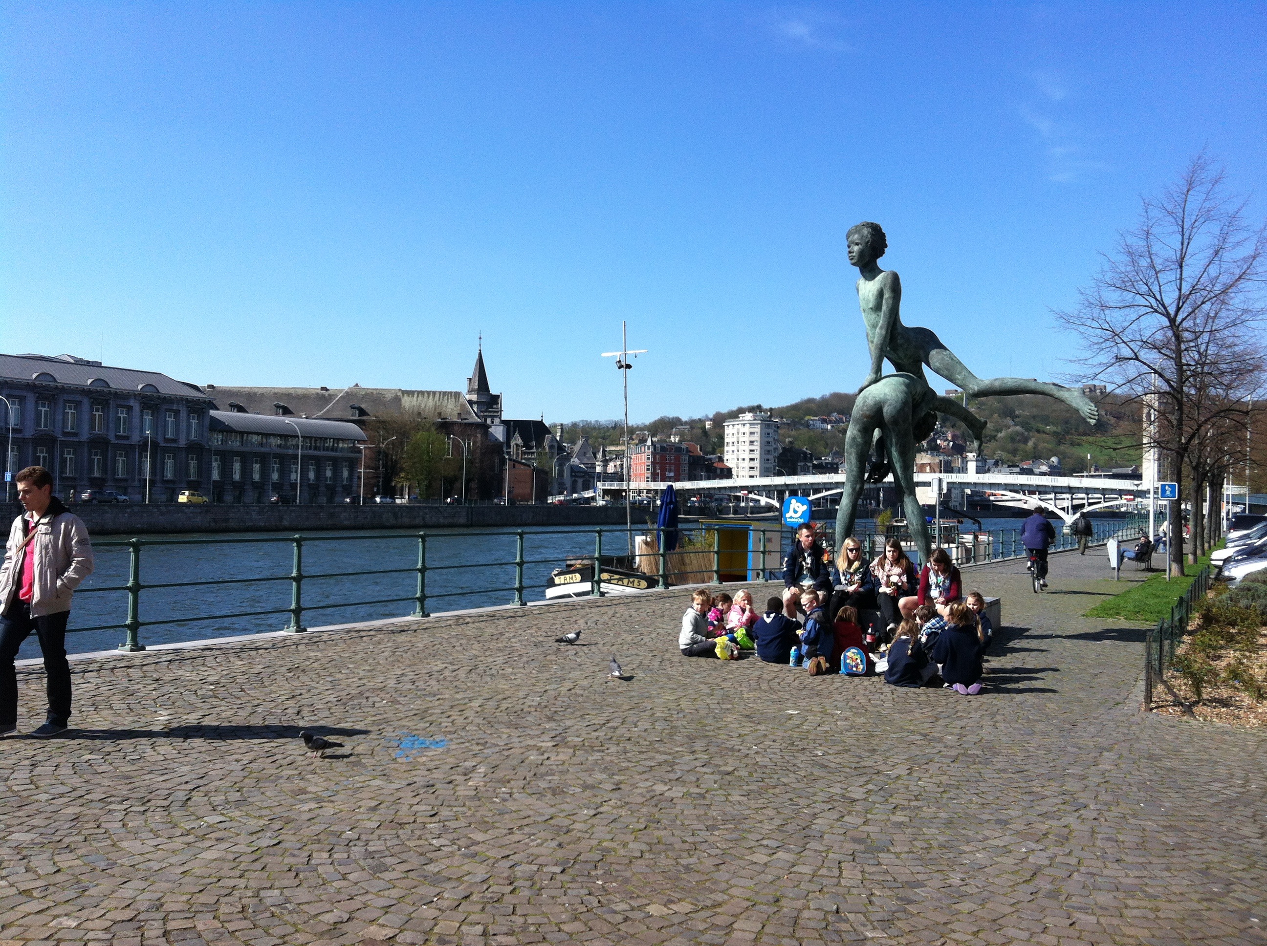
Meuse at Liege
When the road was nice, it was very nice – bike paths and no cars. In Belgium (Wallonie), the cycle network is not connected. So.. When it was not nice, it was not nice. Busy roads, loud. Not fun.
I had booked a room in a castle in Huy – between Liege and Maastricht on the Maas. It was a lovely castle with friendly, helpful staff. They gave me a great tip for a cycle route the next day. And, it had an interesting view – looking out over the nuclear reactor on the other side of the street.
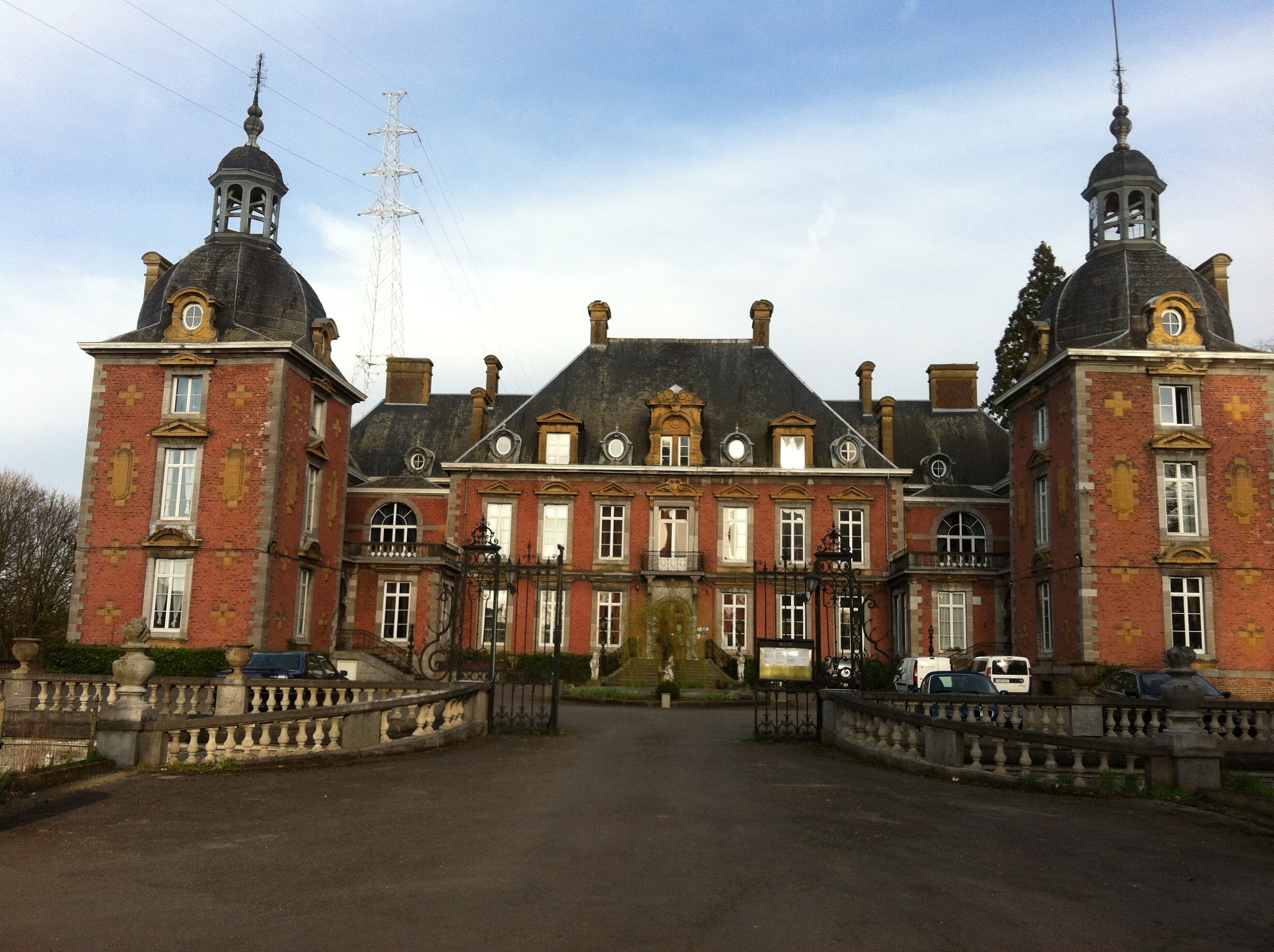
Domaine Du Chateau de la Neuville
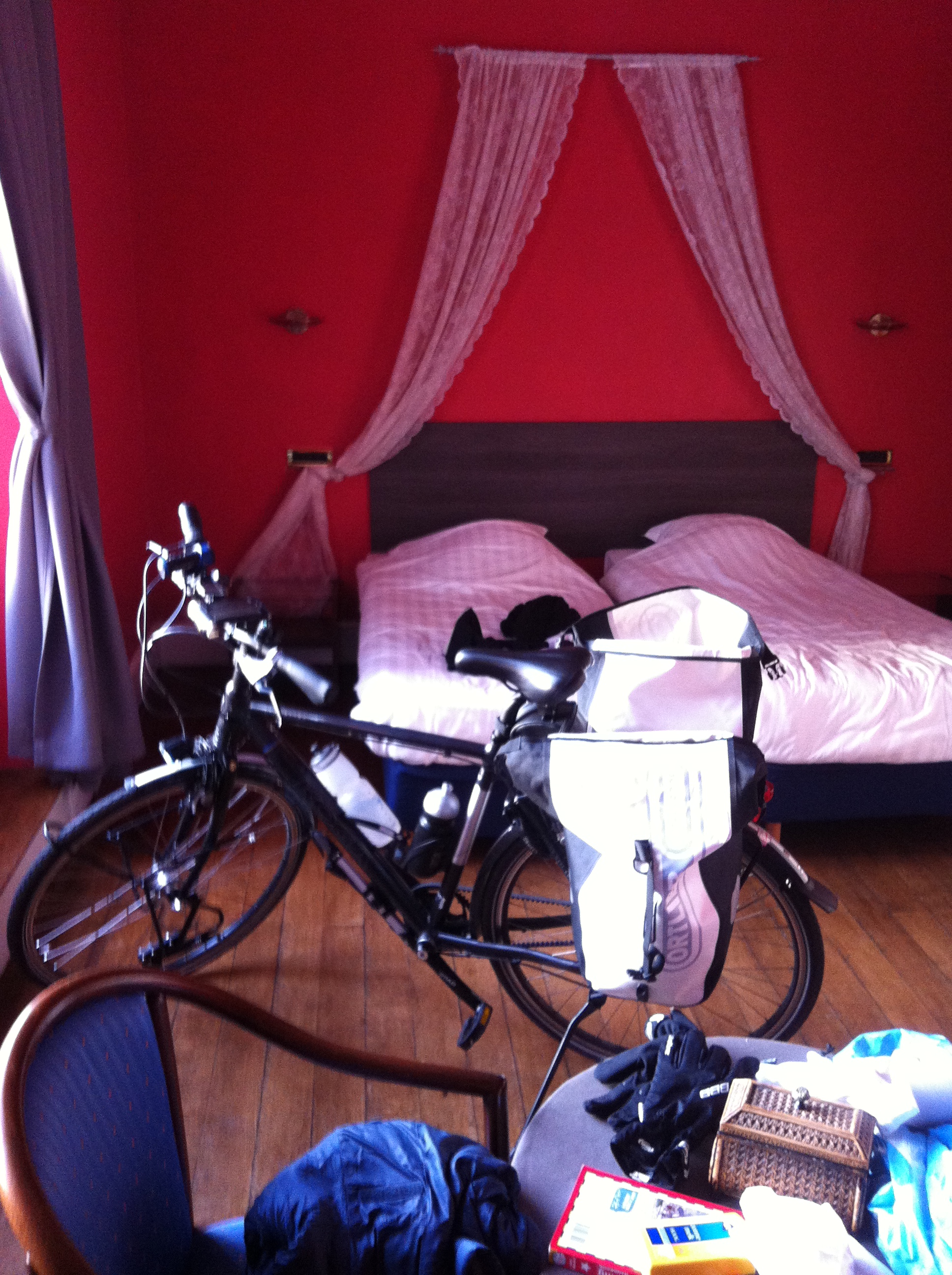
Bedroom with my bike
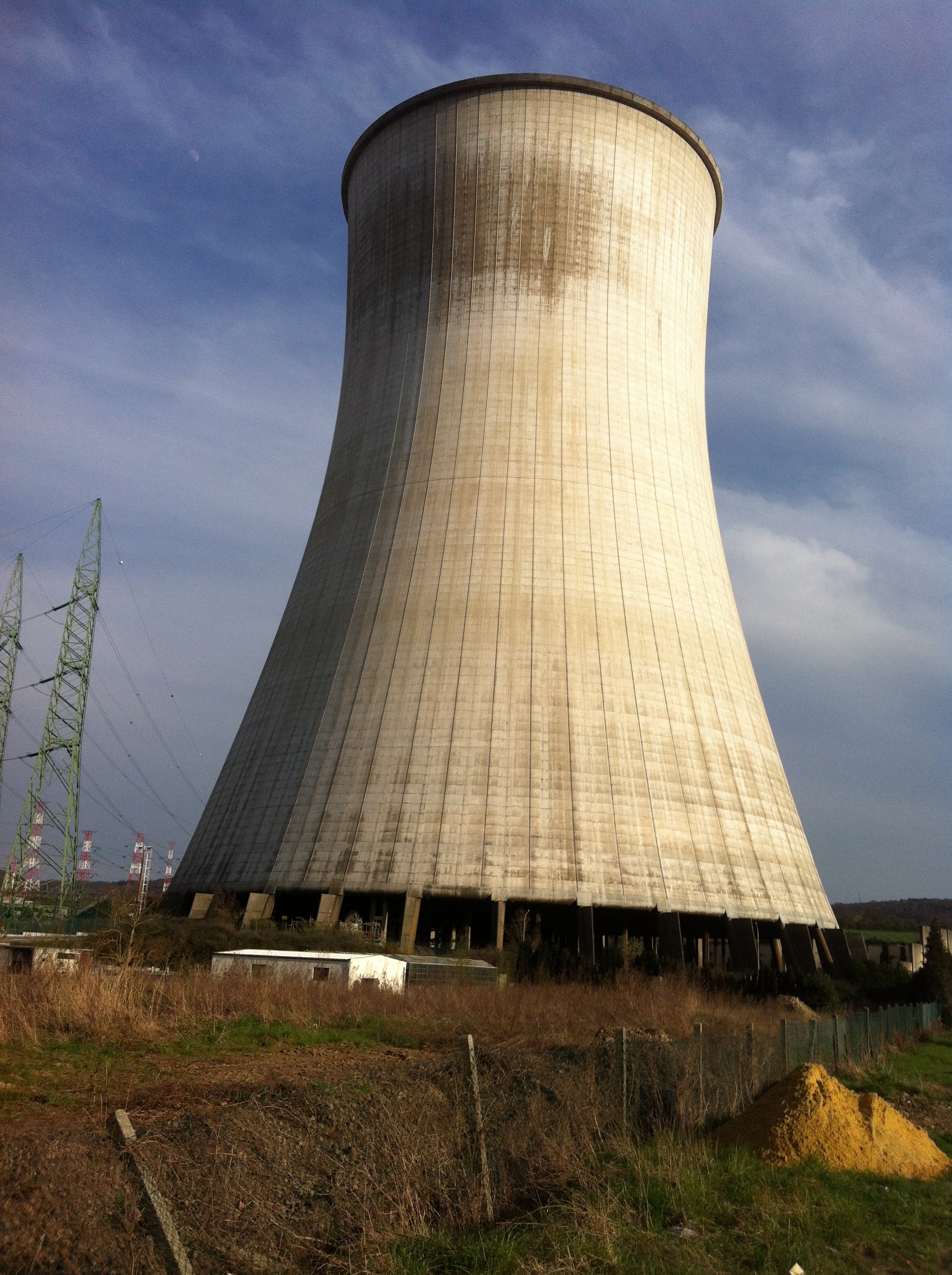
Lovely view
In Wallonie (the french speaking part of Belgium), they have the RAVeL network (Reseau Autonome des Voies Lents) – ravel.wallonie.be. These are separate bike roads, no cars in sight (usually), passing leisurely through the countryside. I first discovered these when I crossed the border into Belgium (there was a big sign explaining the system). In Huy, I was suggested to go on the Ligne 126 to Ciney. This followed an old train track, passing up a beautiful valley, through forests, and through a high area above the valley. And, as it followed an old train line, it was not steep. And it was empty. Beautiful.
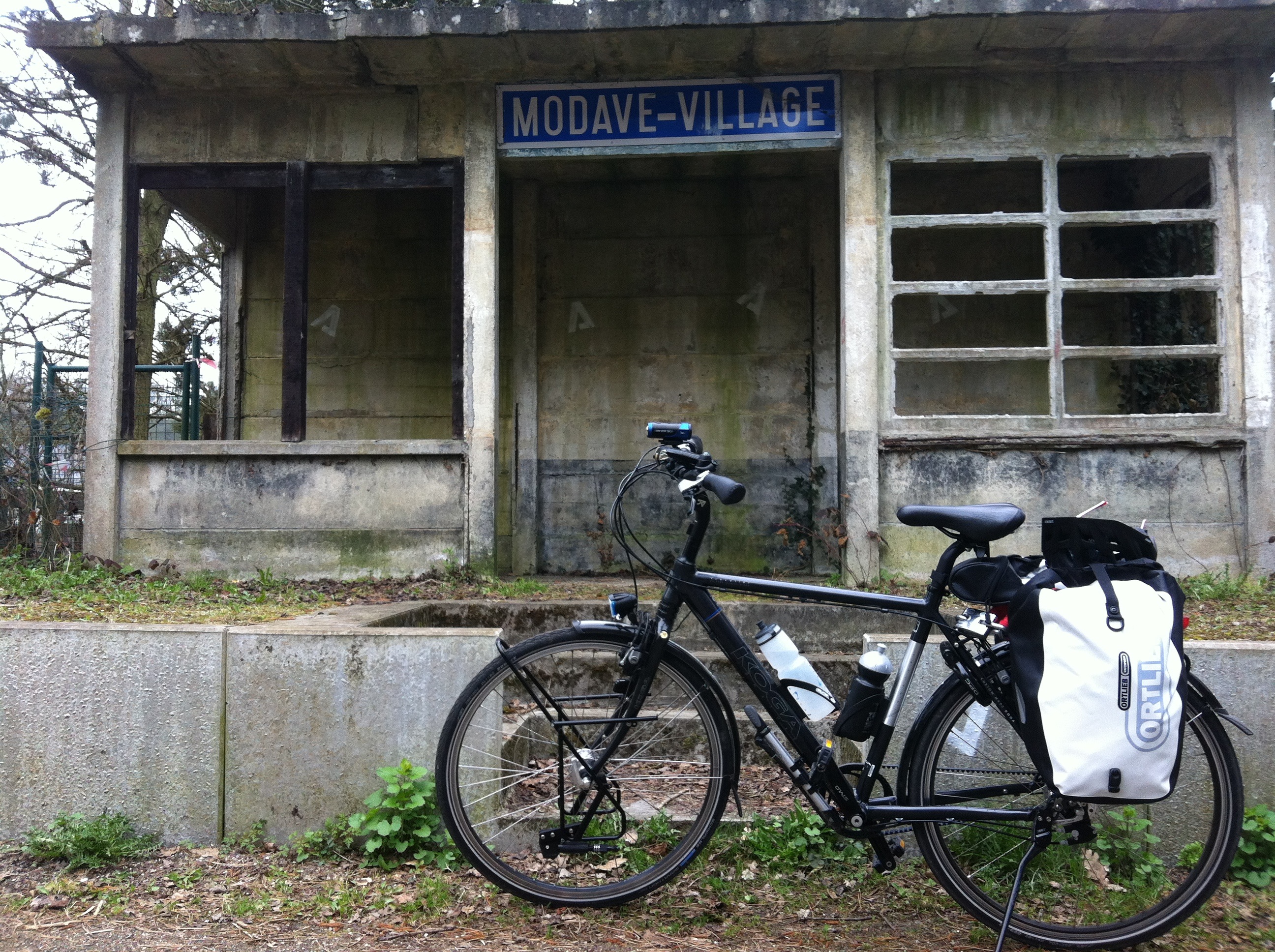
Abandoned train station on Ligne 126
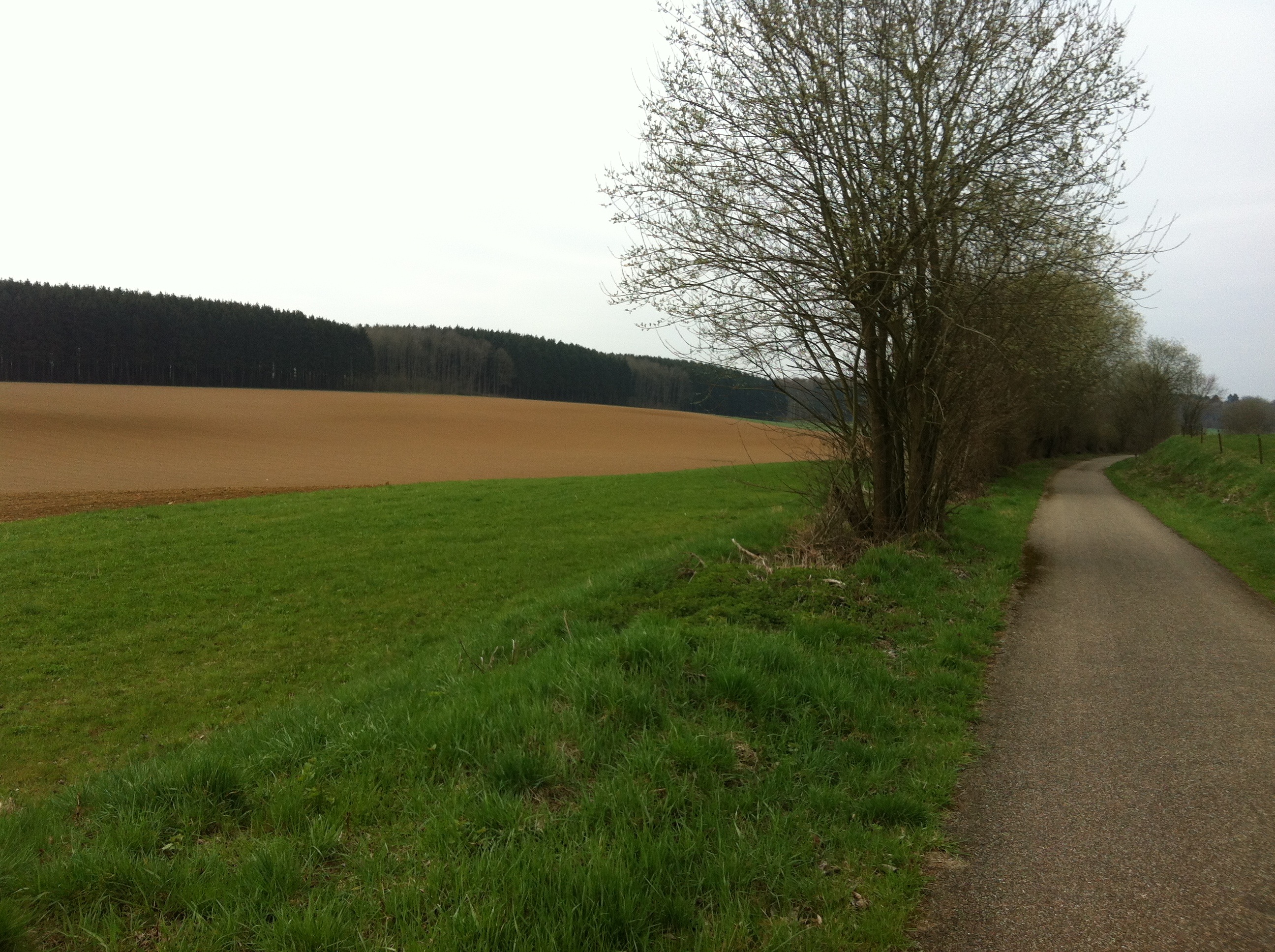
Fields
Reaching the end of the path, I had to make my way uphill and down dale to the Meuse. The landscape away from the Meuse is undulating, and then a sudden steep drop to the river. Fun to cycle down, but once you’re down, its hard to leave the valley. The steep sides of the Meuse River made for some lovely cycling. I passed vertical rockfaces covered with rock climbers. Looked like fun.
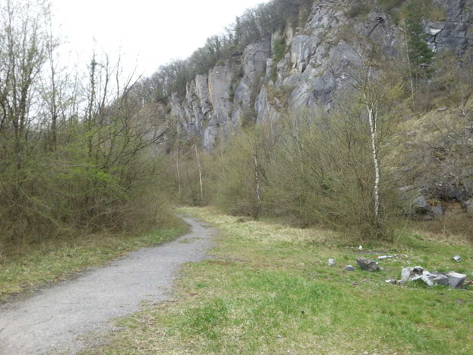
Vertical cliffs on the Meuse
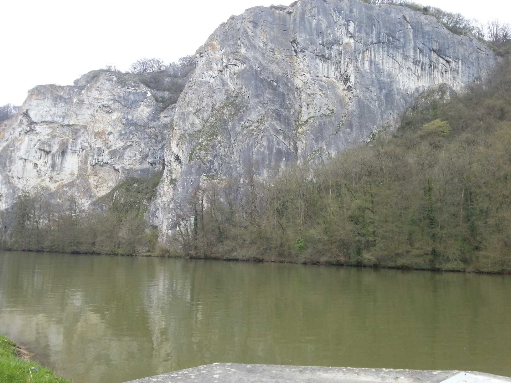
Vertical cliffs on the Meuse
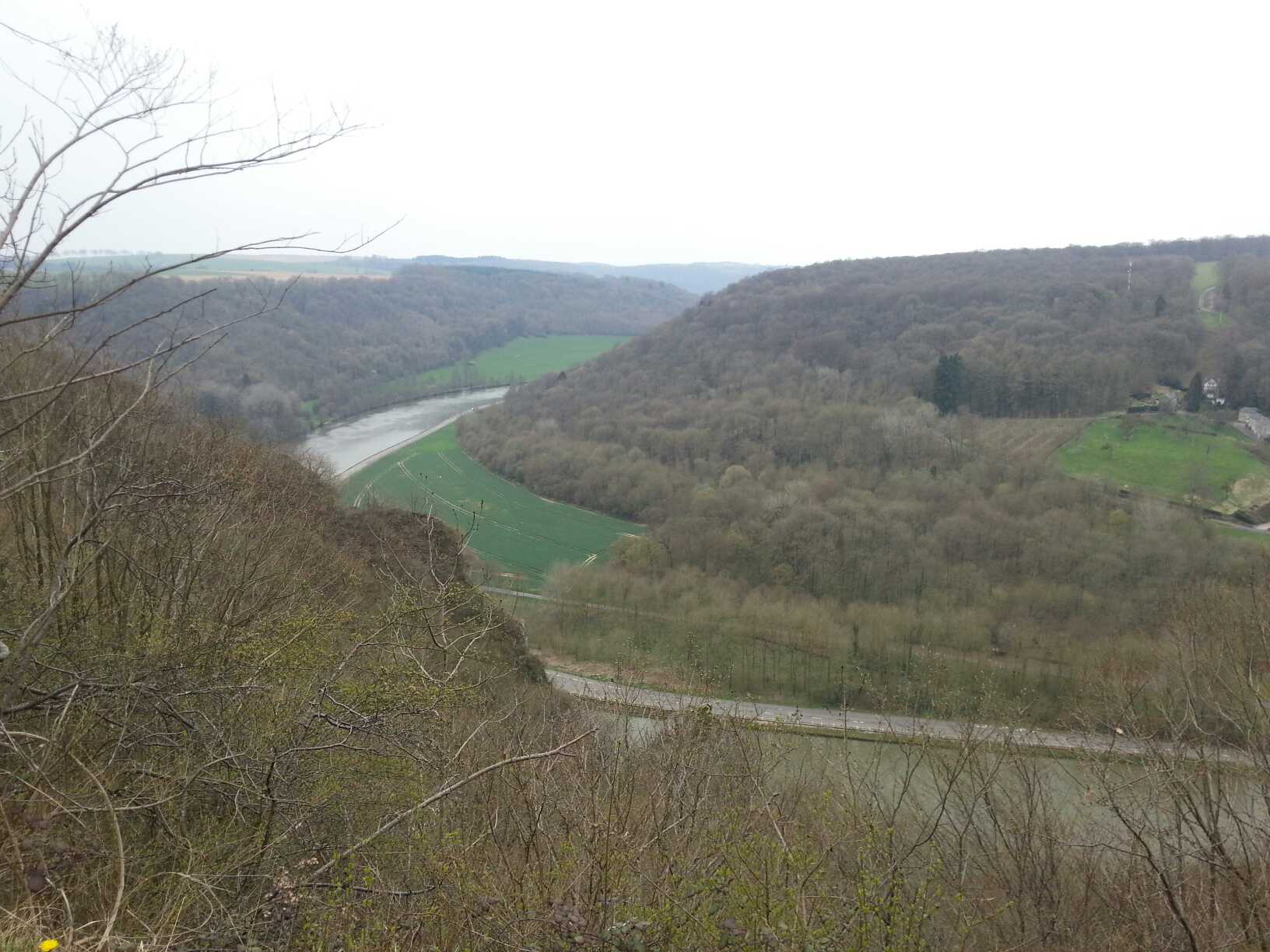
View from above.
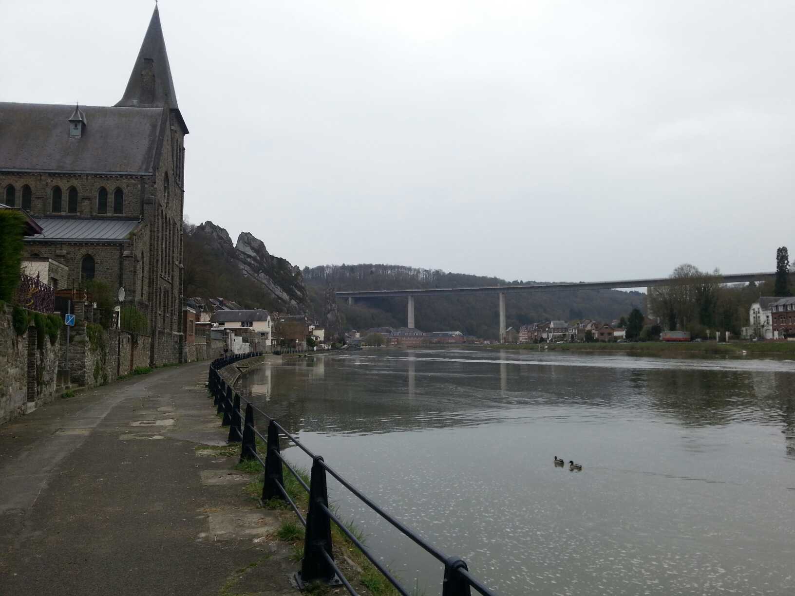
Dinant
The goal of the trip was to step over into France. I did.
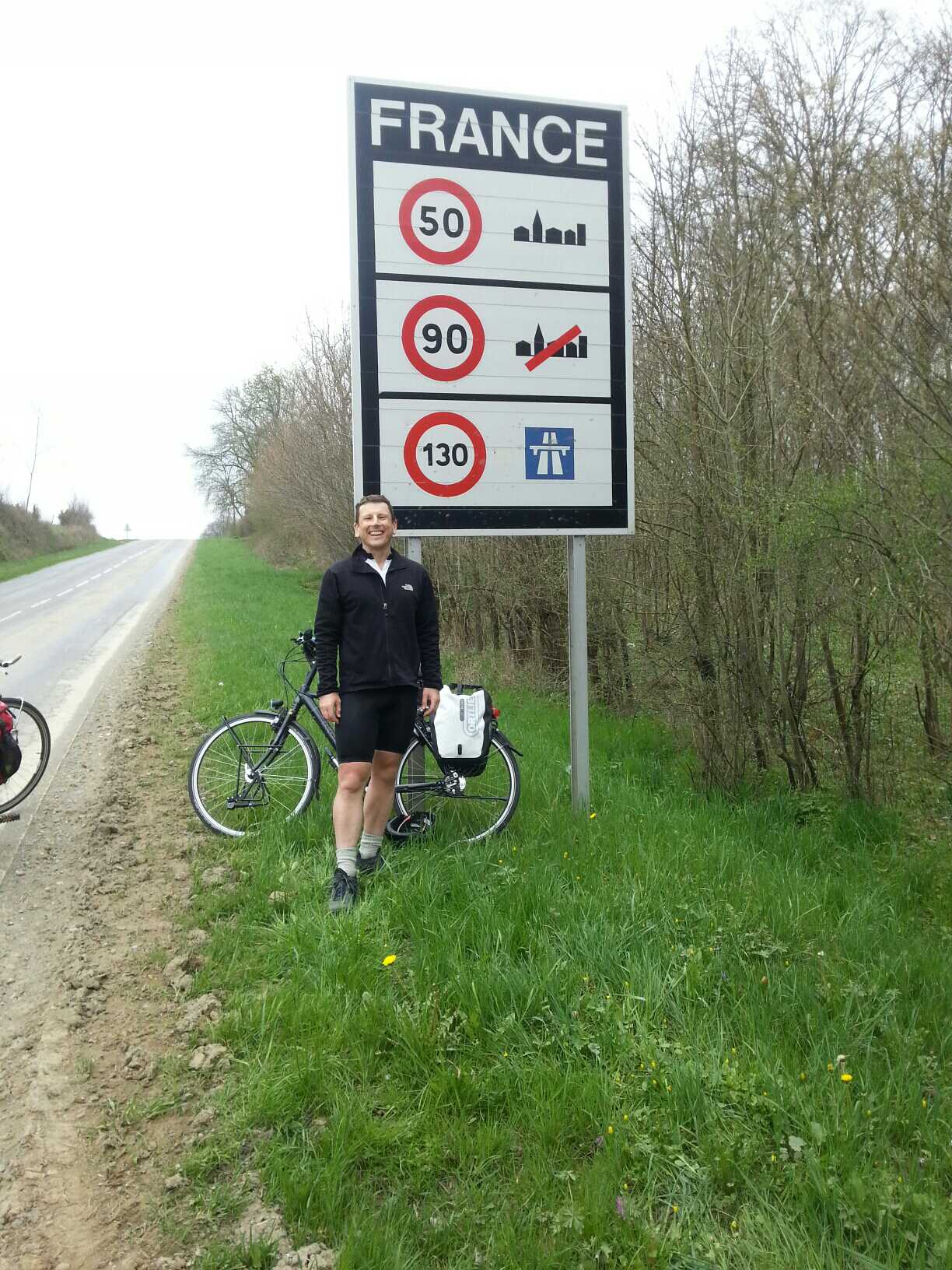
France
And then cycled back to Namur to catch the train.
I learned some stuff about my equipment, remembered stuff I learned cycling in Norway last year, and remembered how important it is to cycle along a scenic road, with little traffic, and a good surface. On this trip I discovered that:
- My phone backup batteries can discharge if something is pressing on them in the bag – at least that is my theory why they were both discharged on the last day.
- Just like following the curves of a fjord in Norway, following the curves of the Maas River is better than taking a ‘short cut’. I learned in Norway to get mentally prepared for all places where the road deviated from the coast. Last weekend I learned that the Maas River has steep banks.
- Unfortunately, longish stretches of cobblestones in the RAVeL network made the busy road that I was avoiding seem appealing. But then, lots of roadworks on the RAVeL routes forced me to take the main roads, after which I dreamed of hitting the cobblestones again.