Archive for the ‘Hiking’ Category


The days are getting very short and winter is setting in. Jump Rock was on the menu today – a beautiful spot on the Macquarie Creek where the water tumbles over some rocks into a little pool – ideal for jumping in the summer. Then I cycled further up the creek past Clover Hill to a series of waterfalls, ending in Clover Falls.

Start: Albion Park Station
End: Albion Park Station
Total distance: 50km
Strava link

A short ride from Albion Park station up towards the Macquarie Pass.

The road to Macquarie Pass

The road to Macquarie Pass

Then a little hiking trail following the Macquarie Creek up towards Jump Rock.

Towards Jump Rock

Towards Jump Rock

Jump Rock

Jump Rock

Jump Rock

Jump Rock

Then, a little further upstream, is the path that passes an old clearing and an abandoned house on Clover Hill.

Towards Clover Hill

Towards Clover Hill

Towards Clover Hill

Towards Clover Hill

Clover Hill

Clover Hill

From the ruin at Clover Hill

From the ruin at Clover Hill

After Clover Hill the path returns to the Macquarie Creek and past a few waterfalls. The last one – Clover Falls – takes a bit of scrambling to reach. Well worth it though.

Rainbow Falls

Rainbow Falls

Rainbow Falls

Rainbow Falls

Rainbow Falls

Rainbow Falls

Clover Falls

Clover Falls


With the Blue Mountains trains not running due to track works, I decided to venture south again, cycle 6km from Tahmoor station and spend the day walking to Mermaids Pool and through the Bargo Gorge. Catching the first train in the morning meant that I had the whole beautiful gorge to myself.

Start: Tahmoor Station
End: Tahmoor Station
Total distance: 20km
Strava link

It is a fairly easy walk along the valley, and sometimes above it, to the beautiful Mermaids Pool. The fresh cool water slips over flat slabs of rock and over a waterfall down to the pool below.

The Bargo River just after sunrise

The Bargo River just after sunrise

Sink hole

Sink hole

Rocks in the sun

Rocks in the sun

Don't jump

Don’t jump

Mermaids Pool

Mermaids Pool

Mermaids Pool

Mermaids Pool

After the pool there is a loop path that ventures further downstream through the Bargo River Gorge. With vertical cliffs on either side, beautiful flat rocks and clear water slipping through the gorge, it was a beautiful walk in the early morning light.

Bargo Gorge

Bargo Gorge

Bargo Gorge

Bargo Gorge

There was no chance of getting lost or slipping on a descent. There were guide ropes at any slight downhill section, and there were blue ribbons galore on every second tree marking the way.

After a few kilometres the path climbs to the top of the gorge and treats the walker to views from above.

A walk well worth doing!


With winter coming, long bike trips are being replaced by shorter hikes near train stations. Victoria Falls is only 6km from Mount Victoria station, but, at 8am there is no-one there. A little side track leads to the beautiful Asgard and Thor Heads which look out over the amazing Gross Valley.

Start: Mt Victoria Station
End: Mt Victoria Station
Total distance: 30km
Strava link

It is always beautiful cycling in the crisp morning sun when everyone else is still asleep. The soft orange glow makes the bush vibrate with morning freshness – eager for the day to begin.

The road to Victoria Falls

The road to Victoria Falls

At the end of the road is a path that winds its way down to the cascades, and then the top and bottom of Victoria Falls.

The path to Victoria Falls

The path to Victoria Falls

The cascades

The cascades

The top of Victoria Falls

The top of Victoria Falls

Victoria Falls

Victoria Falls

Victoria Falls

Victoria Falls

A little side track lead to Asgard Head.

The side track to Asgard Head

The side track to Asgard Head

Asgard Head

Asgard Head

Asgard Head

Asgard Head

Near Asgard Head is the deserted Asgard mine. Coal was never mined there, but there is a cool little tunnel into the side of the cliff face.

Asgard Mine

Asgard Mine

Asgard Mine

Asgard Mine

Asgard Mine

Asgard Mine

Thor Head is just around the corner and as impressive as Asgard Head.

Thor Head

Thor Head


A hike in paradise. My private valley. My private fjord. Sun. Warm. A smile in my heart. The smell of cloudberries on my fingers.

Day 50. 50km. Syltevikmyra – Vardø. Map and gpx.

(more…)

Day 47. 24km hike. Kinnerodden

Posted: July 24, 2013 in Hiking, Norway
Tags: ,

The northern most point of mainland Europe. In the sun and clear blue skies. Even warm enough for some tundra lake swims. A wonderful day.

Day 47. 24km hike. Kinnerodden. Map and gpx.

(more…)


4 minutes with a Maserati to climb what took me an hour on the bike. The start of the walk to Knivsjelodden – the real northern most point of Europe. A walk through wind and fog to nice views of the North Cape.

Day 42. 22km. Nordkapp – Honningsvåg. Map and gpx.

(more…)


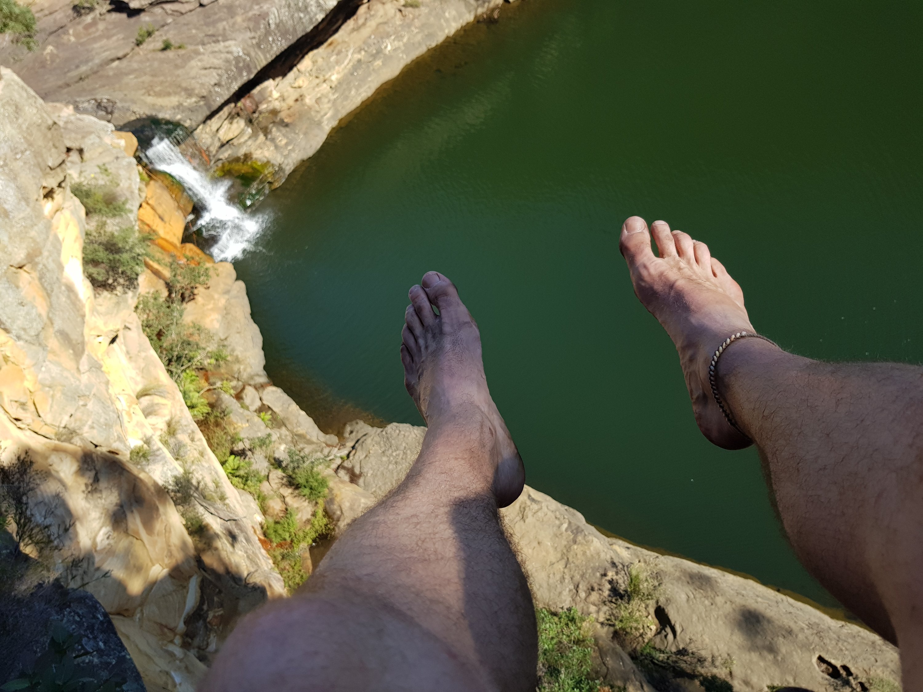
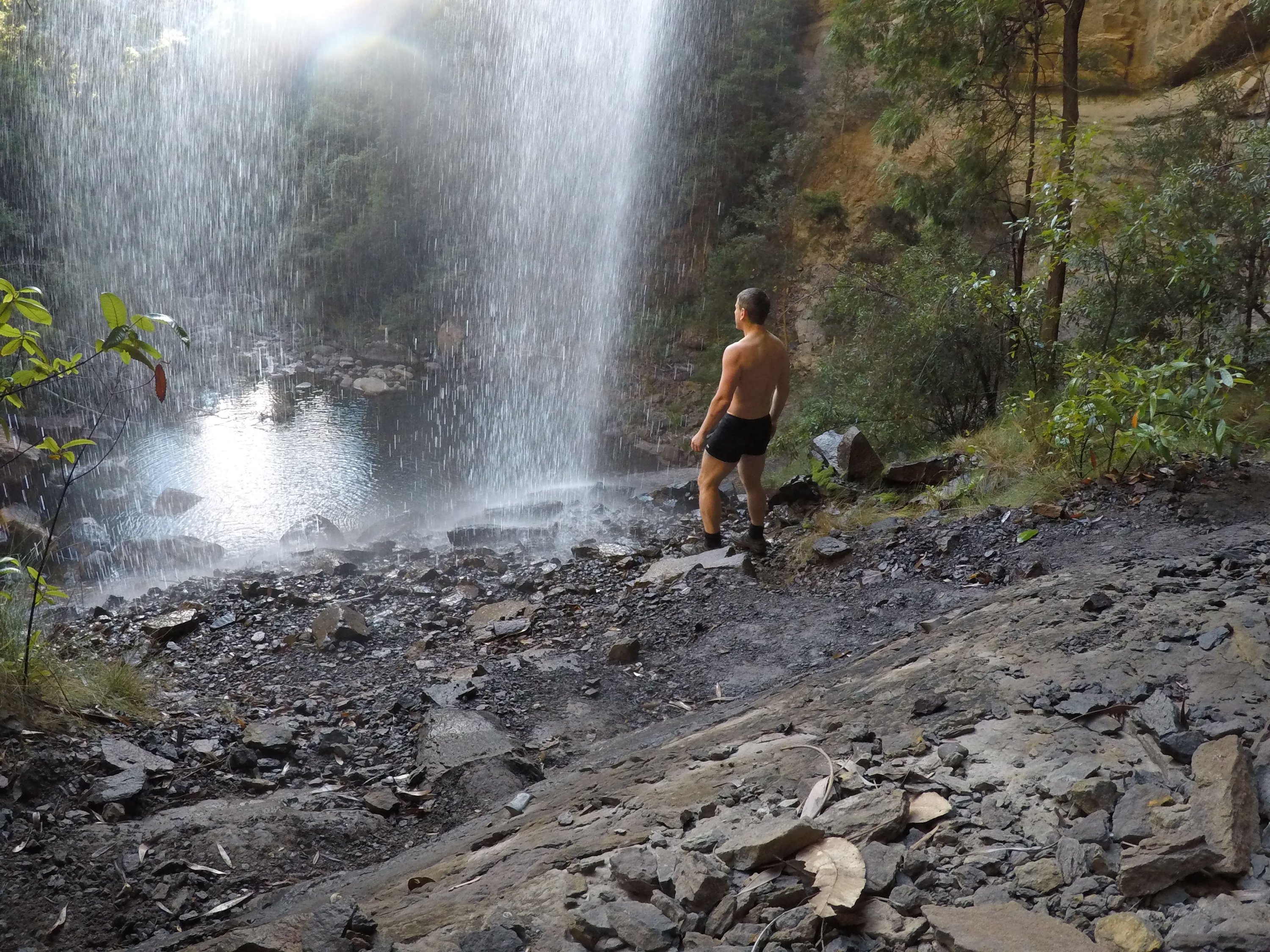
I have been on a project for work in Boston for the last two months. It has been cold, and it has been snowy. Coming from warmer climes, I didn’t know about driving in snow storms, not using high-beams in blizzards and how important it is to clear the snow on the car roof and bonnet. I am now versed in the ways of the New England winter. Now it is time for the spring – and then the summer – and my big cycle trip.. Yay!

I saw the first sign of spring during my Easter in the Adinrondack Mountains in up-state New York. I was there with some friends (Candice and Sarah), staying in a beautiful log cabin in Peasleeville. On Easter Saturday the sun came out and the mercury rose. The white winter landscape twinkled in the sun as it slowly prepared to melt – over the coming two months. But, for me, the white would remain and I breathed in the beauty.

I saw the blue of my cabin window and jumped out of bed. Such a morning could not be wasted. A jogging loop through the hills was in order. On the map it didn’t look too far. In practice it was further than it looked. (I didn’t check the scale.) Through charming farming land, and through wooded hills.

Peasleeville barn

Peasleeville barn

Strackville Road

Strackville Road

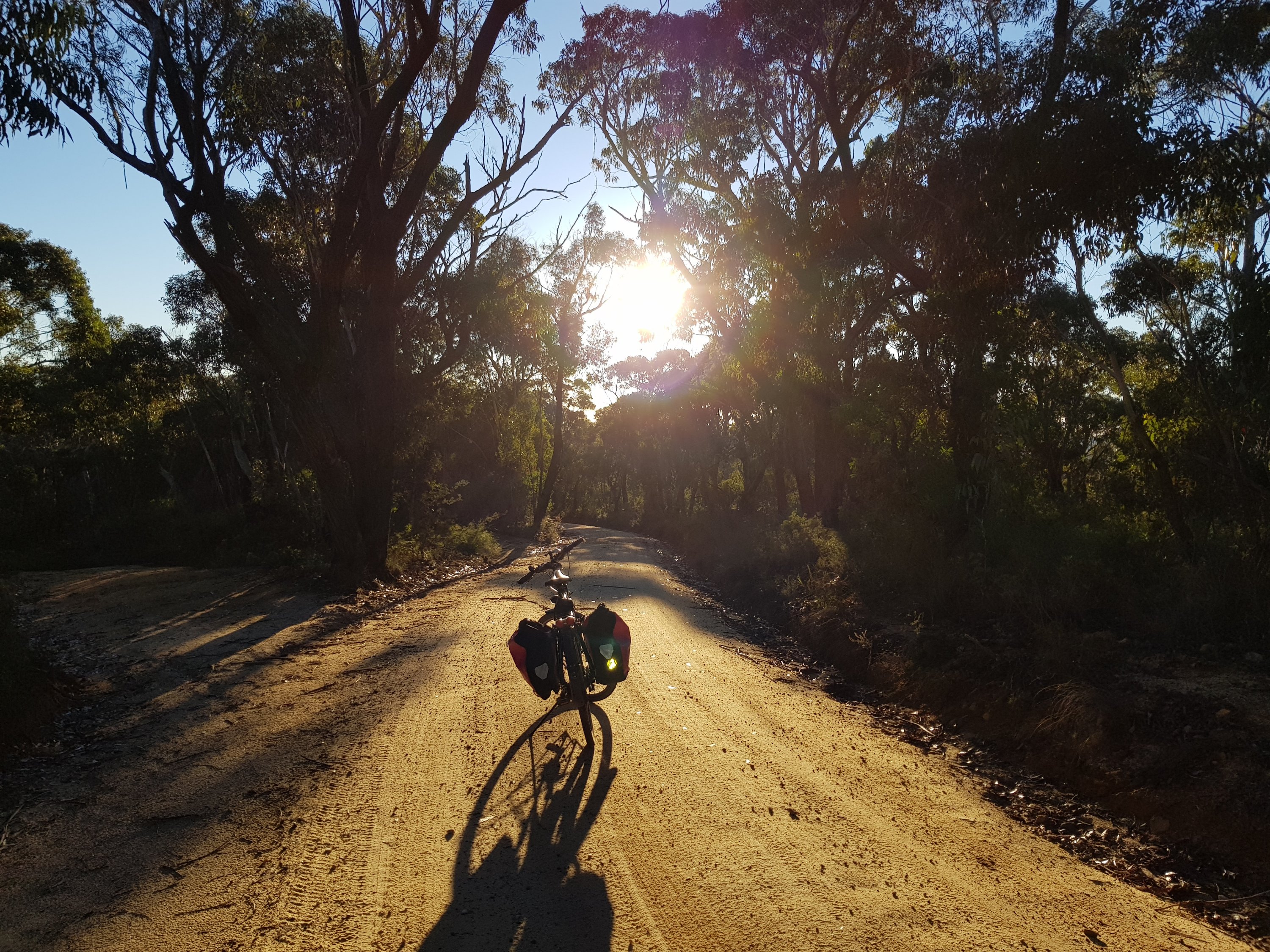
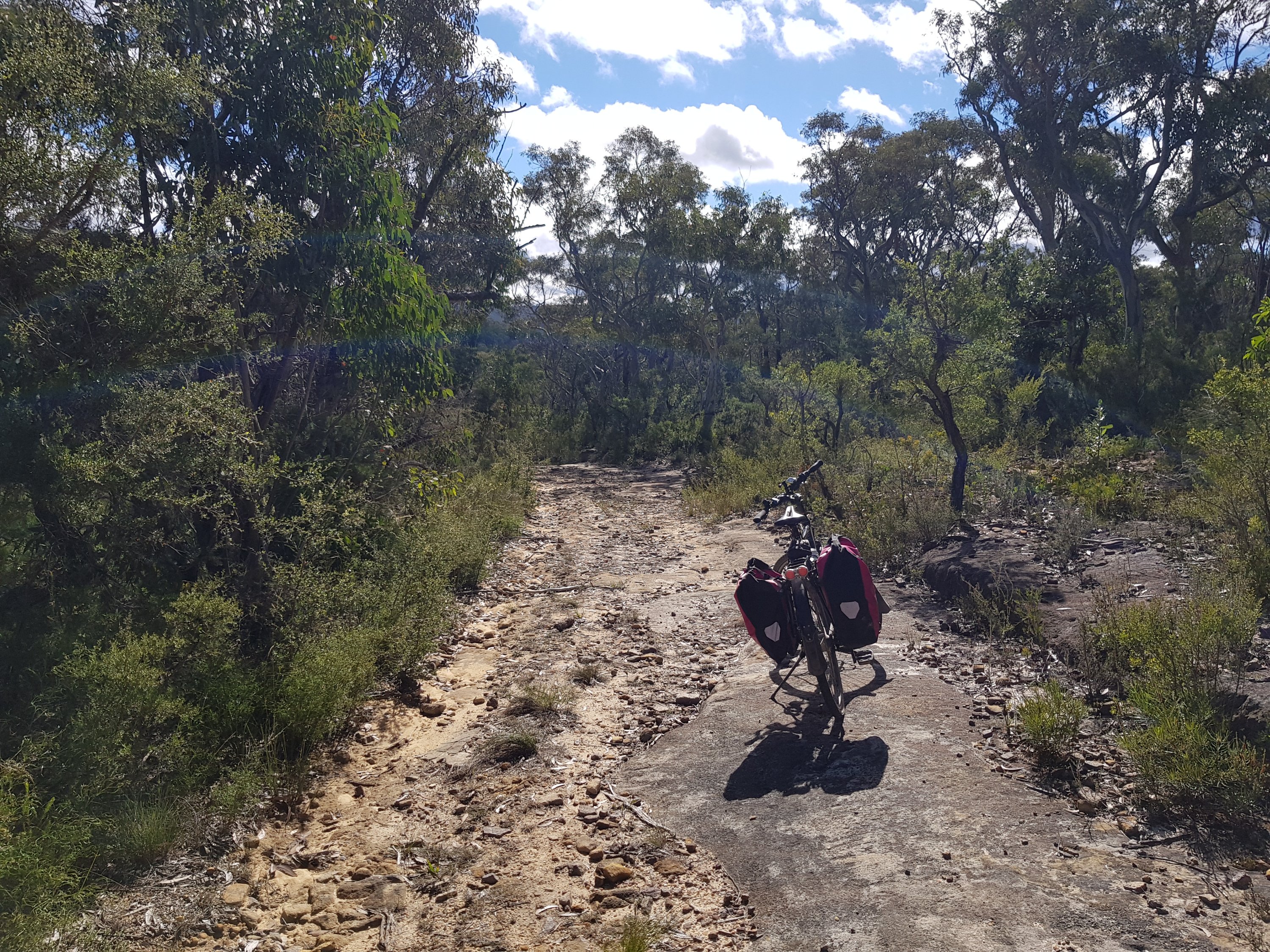
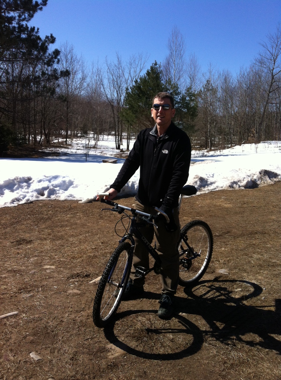
25 km and a big breakfast later, Candice, Sarah and I took out the bikes. This was my first bike trip in the USA. It was a short one (21 km), to a little iced over lake. We had visions of a longer trip, but, as we had more planned for the day, we cut it short to make alternative use of the brilliant sun.

photo2

Lake in Macomb Park

Lake in Macomb Park

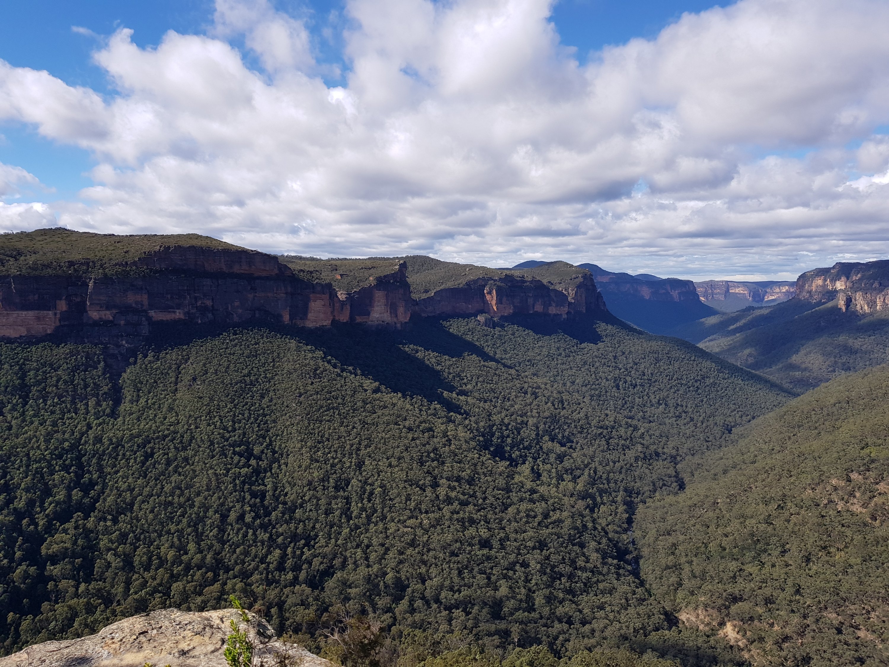
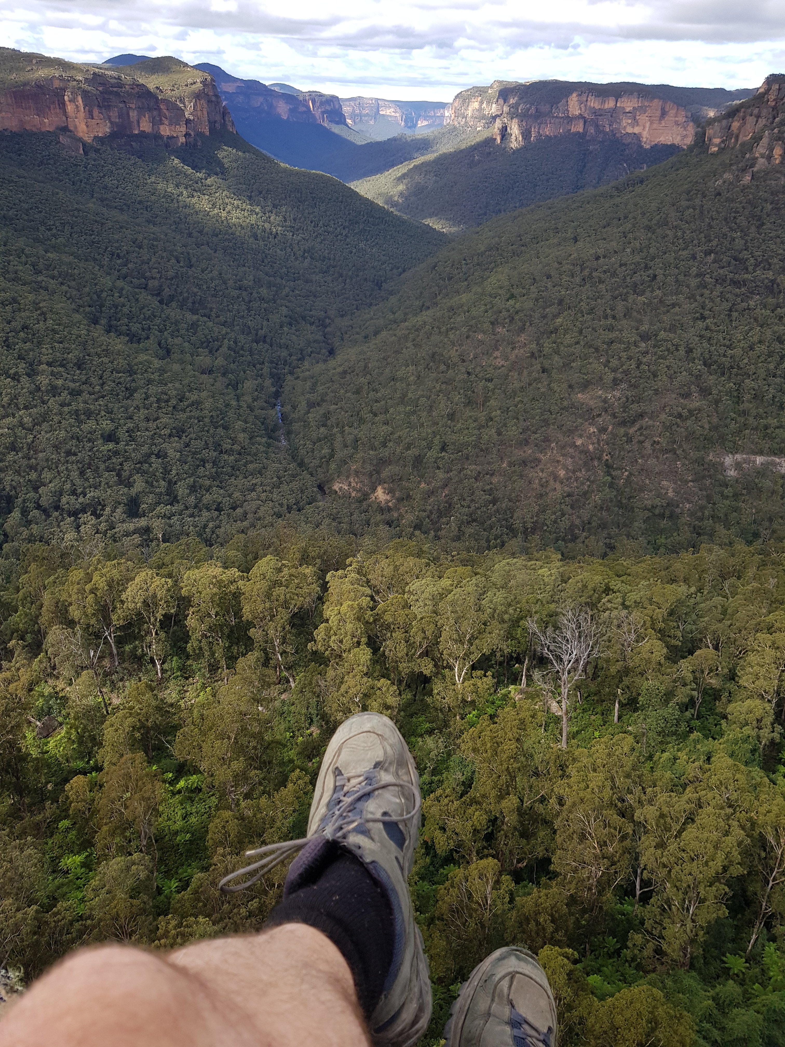
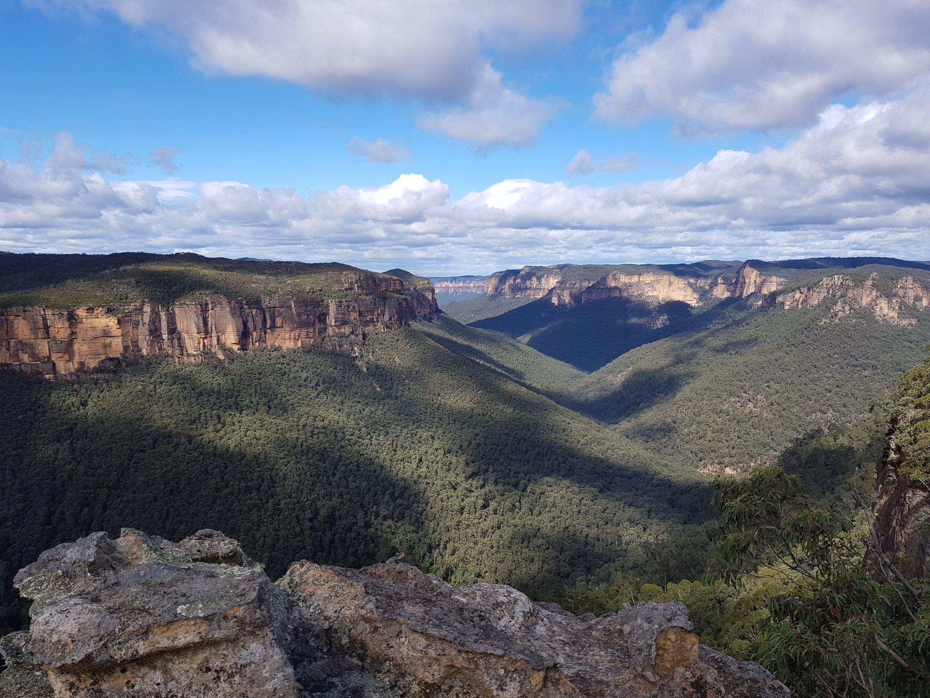
And then, keen to see the amazing views on a clear day that I seen from mountain tops on cloudy days, we decided to scale the local mountain out the back of the cabin.

The sun was really shining brightly now, and it was actually quite warm.

On the way up Mt Terry.

On the way up Mt Terry.

It was a steep, snowy climb up a four-wheel track to a communications tower at the top of the mountain. In fact, the tower was not at the highest point. This, however, was not reachable in the winter. I tried my best, bush-bashing cross-country. The snow was deep and, being warm, unstable. I ended my hike in a frozen but thawing bog near the summit. It was beautiful, tranquil, and utterly silent.

Bog at Mt. Terry.

Bog at Mt. Terry.

So, without planning it before-hand, I had done 3 different activities outdoors. 25km running, 21km cycling and 9km mountain hiking. And then a big dinner in the wood cabin with the fire burning.

Walking on Vlieland

Posted: September 9, 2012 in Hiking
Tags: , , ,

Vlieland is my favourite place in the Netherlands. An island of sand in the far north of the country, it offers peace and tranquility. There, I am at one, alone, with the elements.

The road to the west stops half way down the island. That is where the expanse of sand starts, and where the people stop. An amazing wide, white beach, punctuated by sandhills in the interior, rising from the sand expanse, covered with reedy grass and home to huge colonies of birds.

The vast sandy expanse

The vast sandy expanse

The expanse is a military area that is open to all on the weekends. A military tower, checkered in yellow and black, watches over the entrance to the sandy plains. Behind the tower, hidden behind the first sandhills are dilapidated tanks: they are now little more than a brittle cocoon of rust. Dotted over the plains are watch towers and little wooden huts that are military targets.

Rusty tank

Rusty tank

At the far end of the island is the ‘reddingshuis’: a white hut perched on high stilts, fenced off by logs and buoys and anything that has been washed up in the tide. Around it are  vast plains of sandy nothingness. On the opposite side of the sand flat, at the end of the island, is a wooden jetty, extending across the sand, and three metres above it, out to the sea.

Reddingshuis in the distance

Reddingshuis in the distance

Reddingshuis

Reddingshuis

The jetty at the end of Vlieland

The jetty at the end of Vlieland

On the sand flat I feel alone. It is peaceful, it is vast, it is beautiful, and I am there in the middle of it. Noone comes here. Noone walks more than 500m from the road. The tide comes in and the tide goes out. Parts can be boggy or firm. It can be still or there can be a howling wind. Nicest is the weather like today. A clear sky, and the sands lit by the golden orb in the sky. You can see for miles. And all you see is sand. A dot on the horizon is a target. Another dot on the horizon is the hut. Another is a watch tower. But they are all far away. In between is sand. Silence. And noone.

The distance

The distance

Footprints in the sand

Footprints in the sand

Not watching TV

Not watching TV

Military tower

Military tower

The morning light makes everything different. On my morning run, I saw the sun rise behind the sand dunes. The air is crisp with a hint of moisture and dew. Vlieland is beautiful whenever you look at it.

The morning light

The morning light

The morning light

The morning light

Maaien

Maaien

The heart of Vlieland

The heart of Vlieland

Vlieland

Vlieland


I love hiking. I love disappearing into the wilderness and existing there, amongst it all, miles from anywhere. Pack on my back and out there in the elements. Through sun and rain, raging wind and serene tranquility. Nature is big, ever present, graceful, wild, and happy.

I love the arctic. There is nature at its most raw. Rocky, barren landscapes etched out by creaking glaciers, creeping slowly down mountains slopes over the millennia. In previous summers I hiked in arctic Canada, Iceland and Finland.

In 2012 I joined the High Places 10 day hike of Svalbard. Our group met at Longyearbyen on Svalbard, to be whisked away from civilization to the self erected base camp on Petunia Bukt. From there we did single and multiple day hikes across glaciers and ice sheets, through bogs, across glacial streams, up mountains, and to deserted Russian mining towns.

I have written a blog on the amazing trip which is summarized here:


Our trip is really over. We dismantled the base camp: took down all the tents and packed everything into the metal containers that were used for transporting on the boat. Our boat pick-up was originally planned for 16:00, but we were told that the boat would arrive between 14:00 and 15:00. We were ready very early and went to hang out in the warmth in the czech hut. It was very cold outside, and we were lovely and warm in the hut. We played cards to while away the time.

We returned to the beach where we were going to get picked up. And then the waiting started. Our eyes were peeled on the horizon, waiting to be whisked away out of the cold. The boat didn’t arrive. It was a bit choppy, and there was speculation that the boat couldn’t make it. Sam told stories of the boat arriving, only to stay 50 m off shore and phone saying that they couldn’t land. It has happened before.

The boat still didn’t arrive. We opened up the spare supplies box and rummaged around. We found a bag of nice muesli: different to the muesli we had had the last 9 days. A welcome change. We chomped through that. Then some biscuits were extracted from the box. And lots of hot chocolate.

It was very cold. I was wearing everything I had, and did some taekwondo moves to keep warm. Sam started a fire. It didn’t give off any heat, though. We put the metal storage boxes together to form a wind shield and Lisa pulled out her sleeping bag and crawled into it behind the metal boxes. I lay behind the shield on the rocks beside her.

Then some of the czech crowd dropped past on the way to their scientific experiment.

Waiting on the cold beach

Waiting on the cold beach

Then finally the boat arrived. We put on the super warm moon suits, and were whisked back to civilization.

Longyearbyen meant warm showers. It meant fresh clothes. It meant nice food. It meant warmth.

We had our debriefing meal in a lovely restaurant before Sam took us on a pub crawl. We walked from one pub to the next, walking through the daylight in the depths of the night between bars. Our night ended in the local disco ‘Huset’, that, until 01:00 is a high quality restaurant. Then it miraculously transforms into a small town disco. There, we danced the night away.

Huset after the transformation.

Huset after the transformation.

Somewhat the worse for wear, we returned to our lodge at 03:00. The alarm went at 05:00 to pack, have breakfast and head off to the airport. Goodbye Svalbard. Goodbye Norway. One of the greatest holidays I have ever had was coming to an end.

My bike, my luggage and myself all arrived at Amsterdam Schiphol airport in one piece. Back from the trip of a life time.

Safe and sound back in the Netherlands

Safe and sound back in the Netherlands