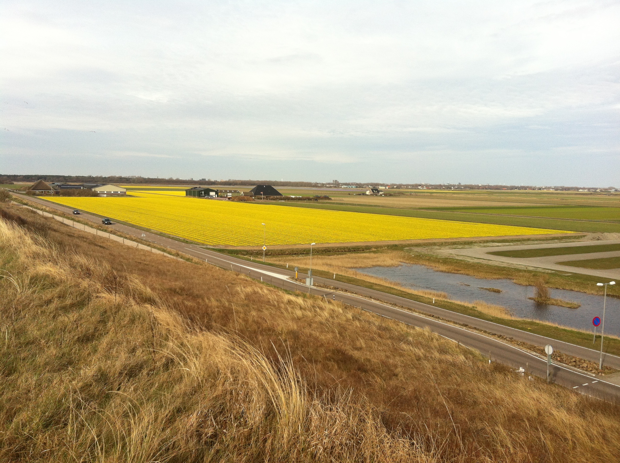
A pleasant day with no stress. No concrete deadlines saw us meander our way to Dover. Yes. Let’s pass through Sandwich and Deal. A late afternoon boat brought me back to the mainland.
No super early rise. I first left the tent at 7 and left by 10:30 or so. After about 3 km we were in Canterbury, and stopped at the cathedral. We were befriended by a ginger cat. Just something for me.
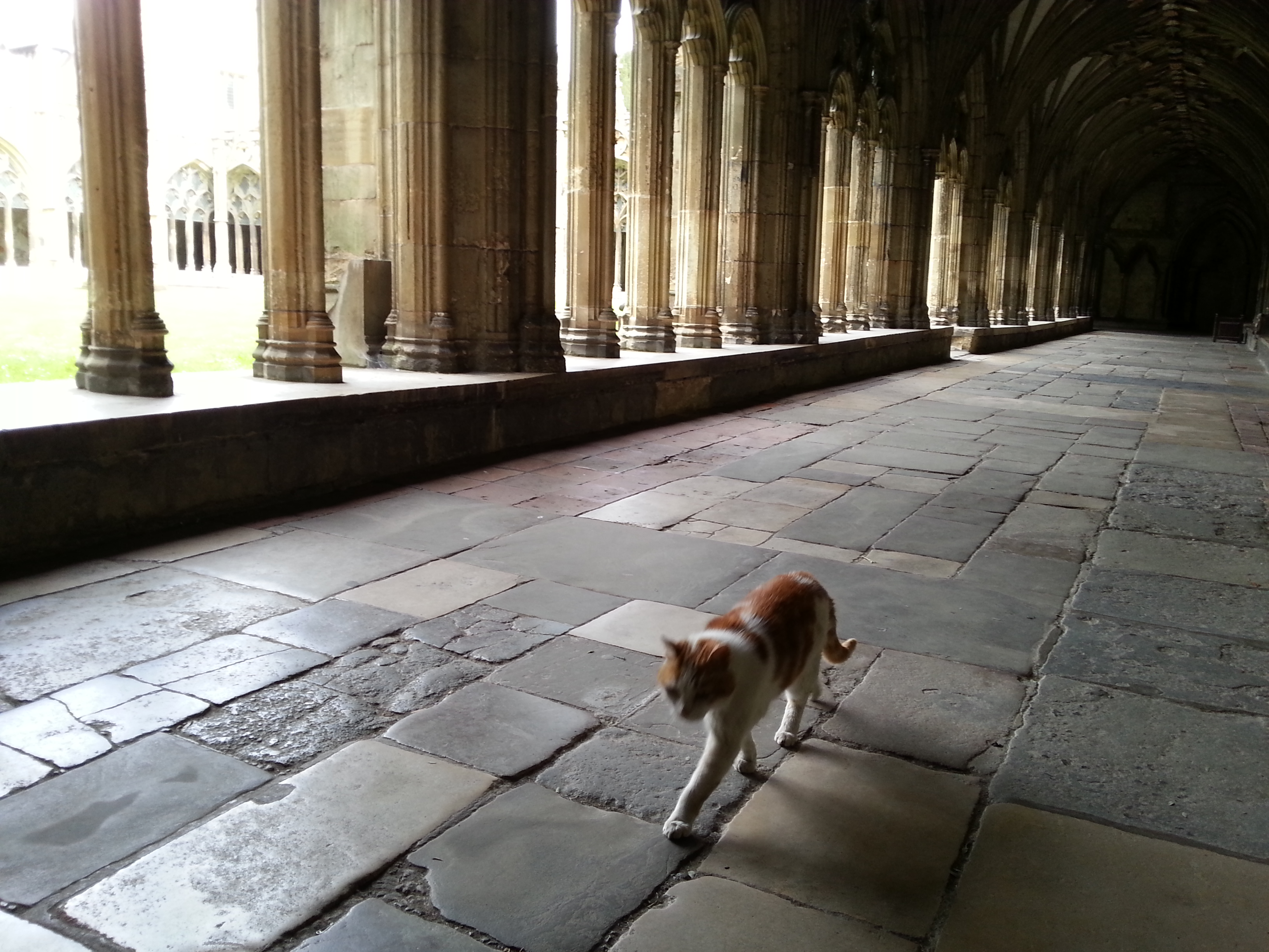
The cat in Canterbury cathedral
My souvenir from Canterbury is a beefeater cigarette lighter (for lighting my new stove). Before arriving, Chris warned how all the tourist shops are full of souvenir paraphernalia – from London. Now, every time I cook on my summer trip I will remember the long weekend trip in England. With souvenir shopping and grocery shopping (my snack bag needed continuous filling up), we didn’t leave Canterbury before 12. You could tell we were not in a hurry. But that is OK.
Following a more or less straight route to Dover, we passed a signpost – Sandwich 6 miles. My, that was close. We decided to go there. The first time we had a real tailwind – and it was lovely. Cruising uphill at 25-30 km/h. Downhill much faster. Sandwich was soon upon us. Then along the coast to Deal, where we had lunch is a cosy little place overlooking the sea. Despite not cycling much, we were both hungry. After bubble and squeak I ordered a chocolate cake. Chris did too.
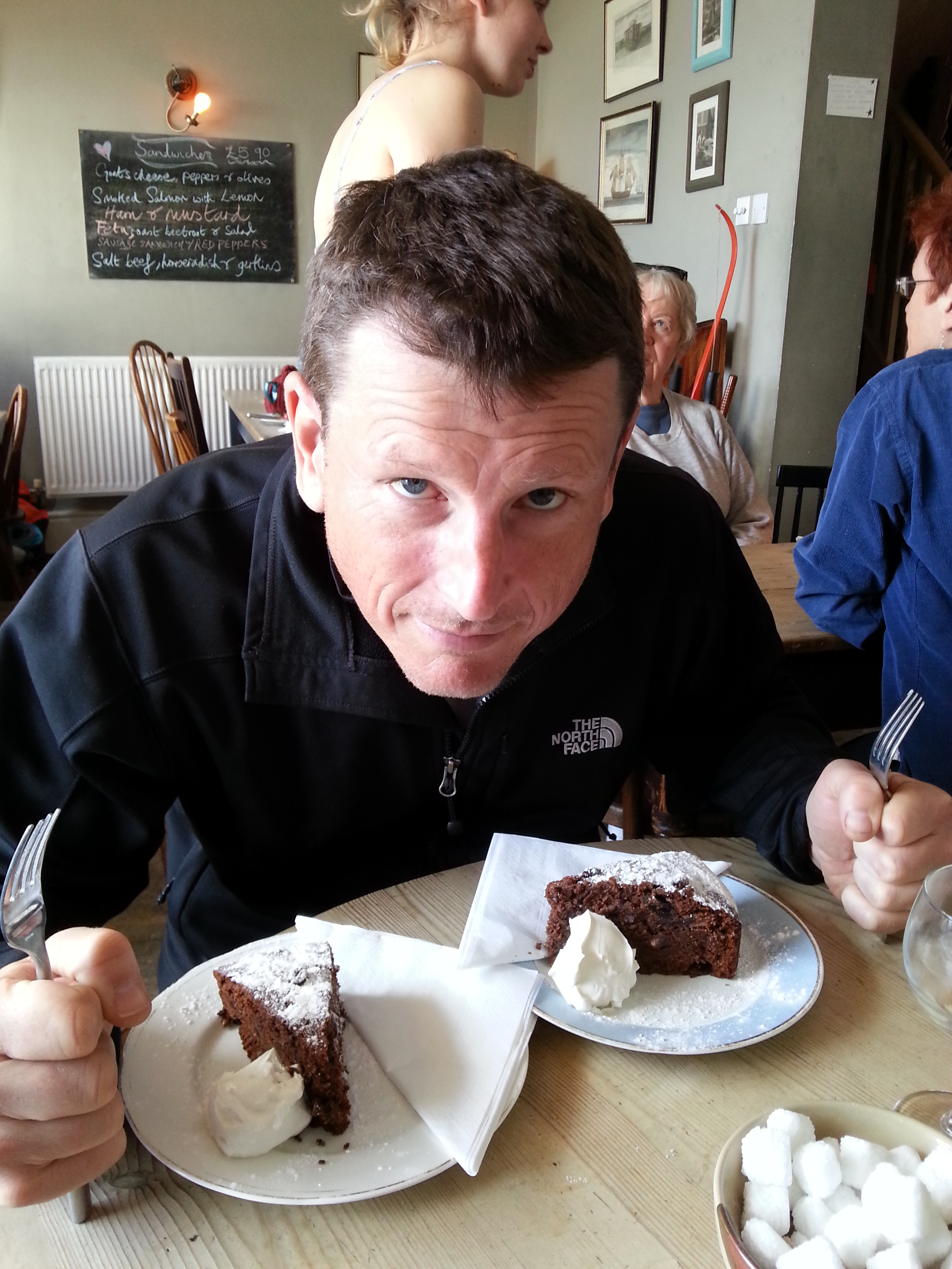
The cake is mine!
The coast turned, and our final leg from Deal to Dover was not only up and up, but against a crushing headwind. The same wind that would blow me home tomorrow.
On reaching the top of the white cliffs of Dover, we saw a boat coming in. That could be my boat. Taking the shortcut down to the harbour (carrying our bikes) I made it to board that same boat.
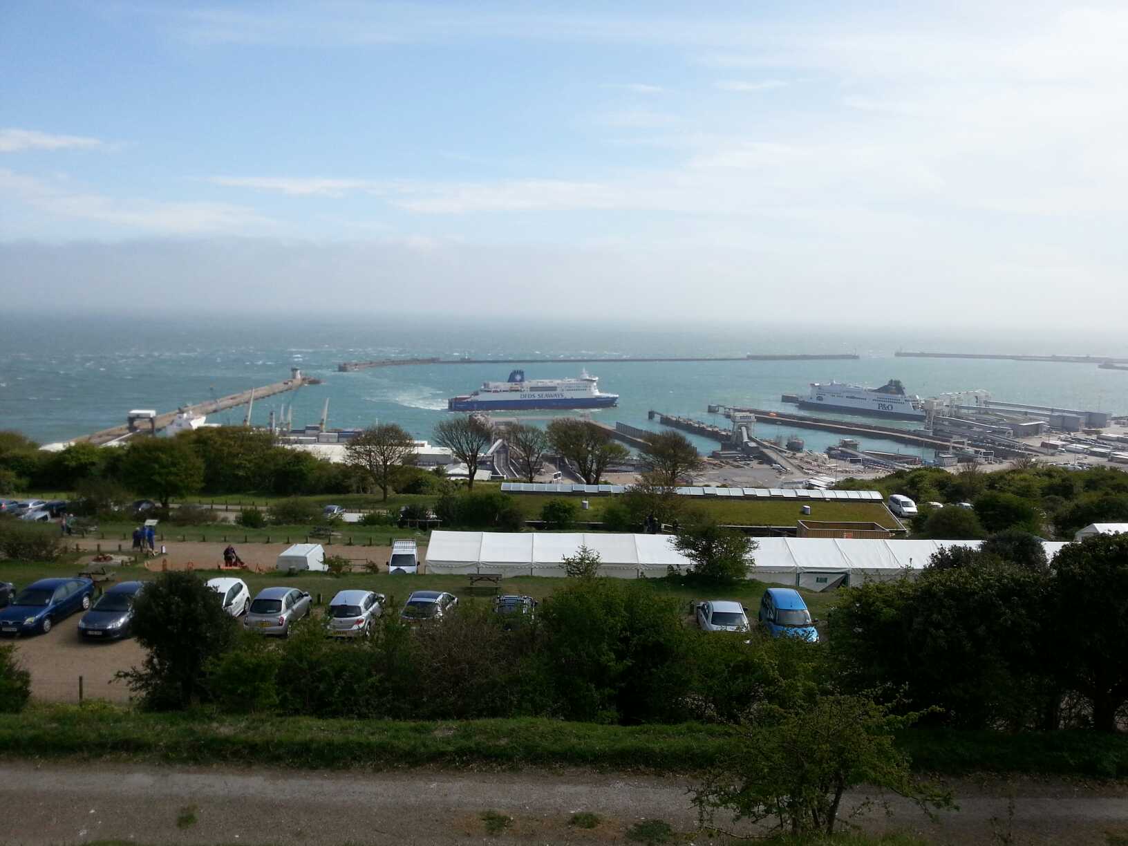
My boat arrives in Dover
I booked a hotel in Calais, and slogged against the now gale force winds from the harbour to the city to take my refuge for the night.