Start: Newcastle Station
End: Newcastle Station
Total distance: 88km
Strava link

Tin City is a collection of tin shacks on an endless beach surrounded by sand dunes. 4x4s drive along the beach, and so I thought I could do that too – with my bike.

At my first attempt, I failed to make it to the beach at all, being hemmed in in the soft sand by nesting birds on the shore side, and active mines on the far side.

At my second attempt, I made it to the water by pushing my bike through soft sand. The sand was also soft along the shoreline, forcing me to return to the road.

My third attempt saw me leave my bike at the base of the sandhills and walk to Tin City.

Sunrise at Newcastle

Sunrise at Newcastle

The soft sand highway

The soft sand highway

The bike and the sun

The bike and the sun

Looking down

Looking down

The road to Tin City

The road to Tin City

Tin City

Tin City

Tin City

Tin City

An Adelaide pie floater in Newcastle

An Adelaide pie floater in Newcastle


Start: Woodford Station
End: Richmond Station
Total distance: 66km
Strava link

Lost World is a beautiful lookout above Glenbrook Creek. It is not that easy to get to – either a hike down into the valley and up again from Springwood station and Martins Lookout, or a hike down into the valley and up again from Glenbrook station. The latter hike was what I did with my bike. The easiest access by bike is from Woodford station, down the Oaks Track and then turn-off onto St Helena Ridge Trail.

The road to Lost World along the St Helena Ridge track is a bit bumpy, turning into a narrow track which involves a bit of bush-bashing. The road from there back to Glenbrook involves hauling the bike over boulders and the like. In the valley is a beautiful water hole – Duck Hole. A nice swim is warranted, as it a jump into the water from the rope.

Riding to Lost World in the morning light

Riding to Lost World in the morning light

The road narrows

The road narrows

The path to Lost World

The path to Lost World

The path to Duck Hole

The path to Duck Hole

The path to Duck Hole

The path to Duck Hole

Duck Hole

Duck Hole

Duck Hole

Duck Hole

Hawkesbury Heights

Hawkesbury Heights

Lost World

Lost World


Start: Hornsby Station
End: Richmond Station
Total distance: 136km
Strava link

I followed the Colo River from where it flows into the Hawkesbury upstream as far as you can cycle. The road along the river is beautiful and peaceful. You have to walk the last 3km through private property to get to the Colo Meroo campground in the national park.

A shorter version of this trip would start and finish in Windsor or Richmond.

Road along the Colo River

Road along the Colo River

Withered signpost along the Colo River

Withered signpost along the Colo River

The Colo River

The Colo River

Heading towards Wheeny Creek

Heading towards Wheeny Creek

Wheeny Creek

Wheeny Creek


Start: Lithgow Station
End: Lithgow Station
Total distance: 95km
Strava link

The Newness Plateau lies behind Lithgow in the Blue Mountains. A 40km dirt track from Lithgow runs along the plateau to the Glowworm tunnel from where you can drop down into the Wolgan Valley. There are lots of little side roads to amazing places like Lost City.

Lost City is a beautiful viewpoint over rock pagodas that look like skyscrapers of an abandoned city. There is not a soul there and you really feel like you are at the end of the world.

Road to Lost City

Road to Lost City

Lost City

Lost City

The Glowworm Tunnel is more frequented by people – an old train tunnel connecting the Newness Plateau to the Wolgan Valley. Glowworms live in the tunnel, and in the middle, where it is completely black, they slowly appear as your eyes get adjusted to the (lack of) light.

Road to the Glowworm Tunnel

Road to the Glowworm Tunnel

Road to the Glowworm Tunnel

Road to the Glowworm Tunnel

Glowworm Tunnel

Glowworm Tunnel

Glowworm Tunnel

Glowworm Tunnel

Wolgan Valley

Wolgan Valley

Returning to Lithgow, you climb up to a beautiful view looking back to the Wolgan Valley.


Start: Observatory Hill, Sydney
End: Newcastle Ocean Baths
Total distance: 84km
Strava link

‘Did you see the naked guy with the branches?’ they asked me at the Budgewoi drink stop. I had – a 20 year old guy walking down the main road naked – only wearing a few branches tied to his body – at 4 o’clock in the morning. These things happen cycling along the central coast to Newcastle overnight.

Normally I cycle alone, but this trip caught my attention. A group of about 150 cycling up the main road (not the freeway) from Sydney to Newcastle. To avoid the traffic, they do it at night.

At night there is a different vibe. Peace reigns as you cycle through the bush, through the night. Everyone is sleeping as a cloak of darkness engulfs, only penetrated slightly by the wobbly beam lighting the road 2 metres ahead. `
Everyone is sleeping except the central coast hoons careering along in packs, illuminating the low-hanging mist, bush and cyclists with their industrial strength headlights.

Two official stops – at Mt White and Budgewoi – and random service stations are were where the cyclists meet. We feel camaraderie as we carry out this crazy activity together. At Budgewoi at 4am I stopped at the little erected tent near the roundabout and had a bacon and egg burger kindly made amazing volunteers. The naked guy was the talk of the town.

Mt White checkpoint

Mt White checkpoint

The most exotic bike to do the ride

The most exotic bike to do the ride

Budgewoi checkpoint

Budgewoi checkpoint

The last stretch into Newcastle was along an old train line – the Fernleigh track. Arriving in Newcastle, it was time for a burger with the works. I had earned it.

Lake Macquarie

Lake Macquarie

Fernleigh Track

Fernleigh Track

Newcastle Ocean Baths

Newcastle Ocean Baths


Starting train station: Wentworth Falls
Ending train station: Glenbrook
Total distance: 84km
Strava link

My eyes had been on the Erskine Range Trail that connected (according to Google Maps) the Kings Tableland Road to Warrangamba Dam. I didn’t know if it existed, and whether it was passable. Well, it exists, and it is closed.

Instead I followed the Anderson and Oaks trails to Glenbrook. They are little fire trails through the beautiful Blue Mountain bush a long way from the hustle and bustle of life.

Kings Tableland Road

Kings Tableland Road

Kings Tableland Road

Kings Tableland Road

Oaks Trail

Oaks Trail


Starting train station: Windsor
Ending train station: Windsor
Total distance: 104km
Strava link

It is a pleasant cycle along the Hawkesbury River on both sides of the river from Windsor to Wisemans Ferry. There are ferries to cross the river at Sackville and Lower Portland. The southern side is bitumen the whole way. On the northern side, it is mostly a sand road north of Lower Portland.

The River is buzzing with water-skiers, and most places where you can enter the water are taken by houses, camping grounds or waterski companies. Following a dead-end road to Half Moon Farm brings you away from the activity, where a half moon is possible.

Half Moon Farm

Half Moon Farm

Half Moon Farm

Half Moon Farm

Half Moon Farm

Half Moon Farm

Hawkesbury River

Hawkesbury River


Welcome to the first of a series of posts on cycles that are a day trip from Sydney.
Starting train station: Blackheath
Ending train station: Woodford
Total distance: 77km
Strava link

Hanging rock is an amazing pedestal of rock hanging out from the cliff-face edge overlooking the Gross Valley in the Blue Mountains. I was there at 7am with no-one but me, the gentle breeze and the early morning sun. Some other lookouts in the area include Pulpit Rock, Perry’s Lookdown and Anvil Rock. Hanging Rock is only a short 7km ride from Blackheath station along a good quality dirt road.

Hanging Rock

Hanging Rock

Hanging Rock

Hanging Rock

Pulpit Rock

Pulpit Rock

The bike

The bike

Ingar pool is beautiful, peaceful pool 15km downhill from Wentworth Falls with about 10km along a moderately bumpy dirt track. The road is blocked off for cars, and only the occasional lost cyclist makes it there. It is a very steep drop and then climb to make it to Woodford station.

Ingar Pool

Ingar Pool


Now that the Indian Himalayas cycling trip is finished, I have put together a video of my activities. 🙂
I hope you enjoy it!


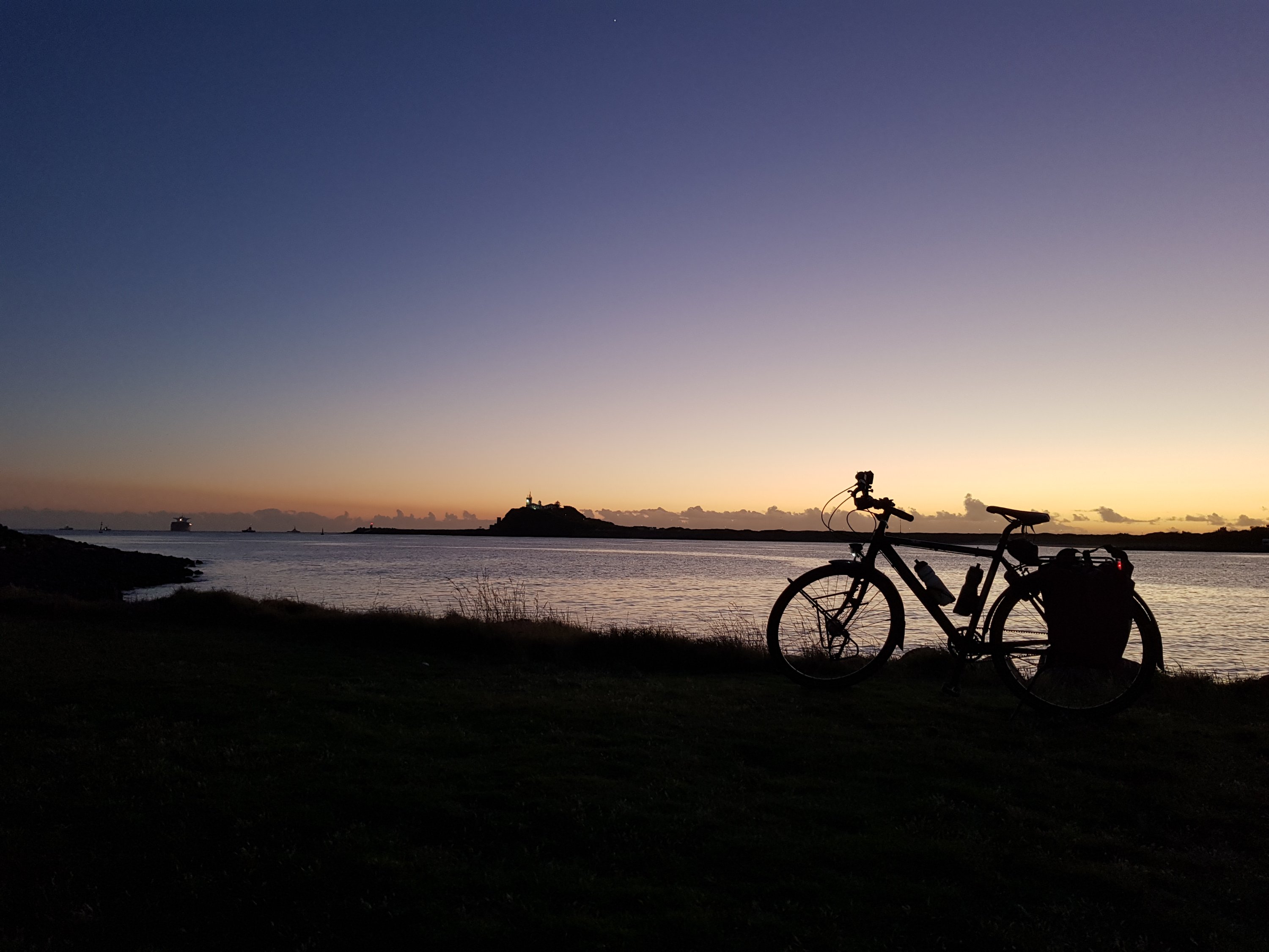
Today the skeleton felt strong. With only minimal luggage, the slopes were a breeze and the kilometres to the highest motorable pass in the world zipped by. Only on the way down did I realise just how high we had climbed – over 2000m into the beautiful Ladakhi heavens.

Coming down from Khardung La

Coming down from Khardung La

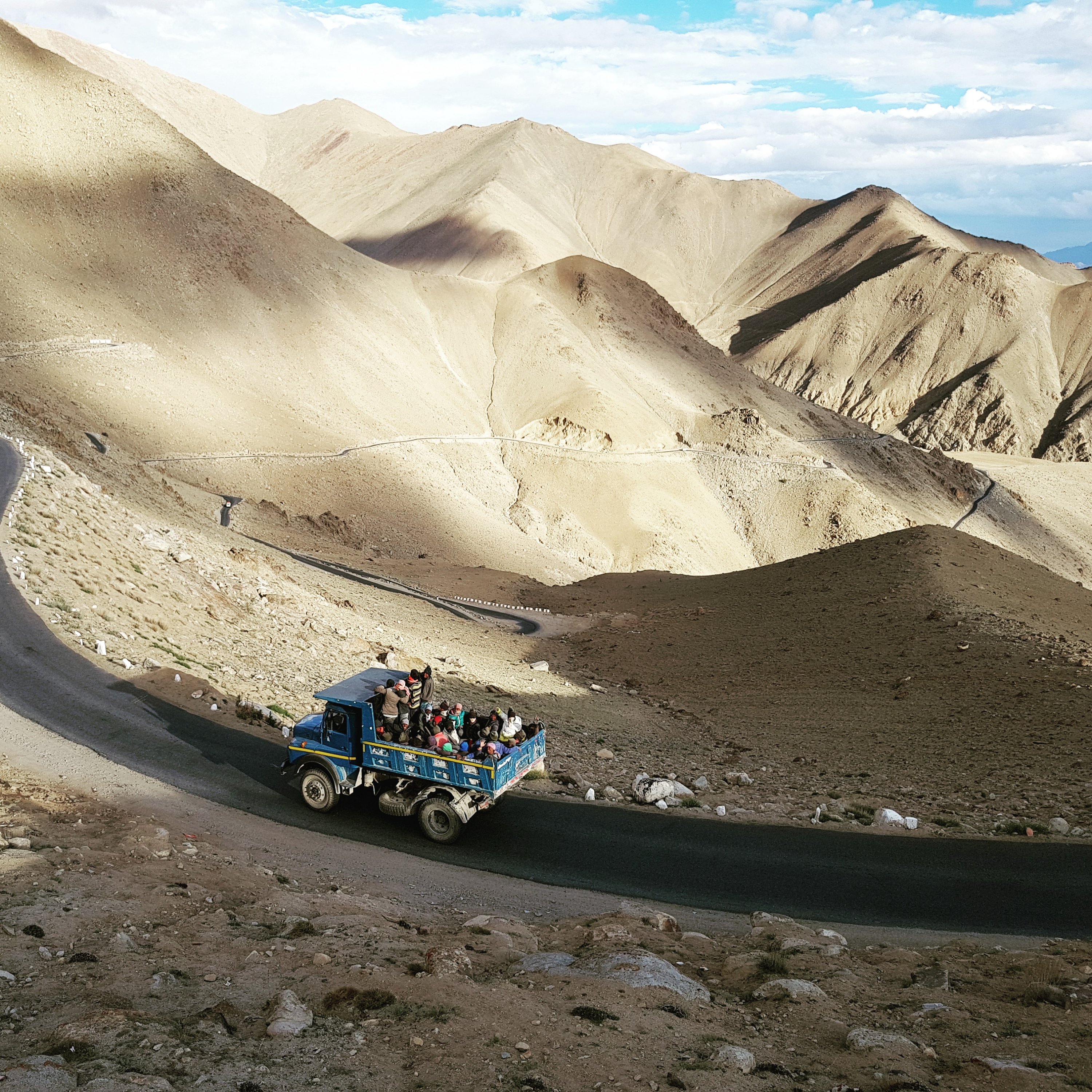
Jessica and I left at 7, mentally prepared for 40km of climbing. China was invading, it seemed. Whole squadrons of army trucks were climbing the pass. Squadrons of tourist taxis were also plying the roads, and the standard Indian men on motorbikes.

And then there was the skeleton and Jessica.

Jessica climbing Khardung La

Jessica climbing Khardung La

This day was the finale of the trip. This day was the biggest climb to the highest place. We had both cycled so much in the highest mountains in the world. Now was the icing on the cake.

My energy music – Infected Mushroom – pushed me up. In fact, it gave me too much energy, I went too fast, laughed with joy too much, and had to stop to recover my breath. I realised I could do this, but I didn’t have a lot of buffer. My body had made enough haemoglobin, but I wasn’t fit for Mt Everest – yet.

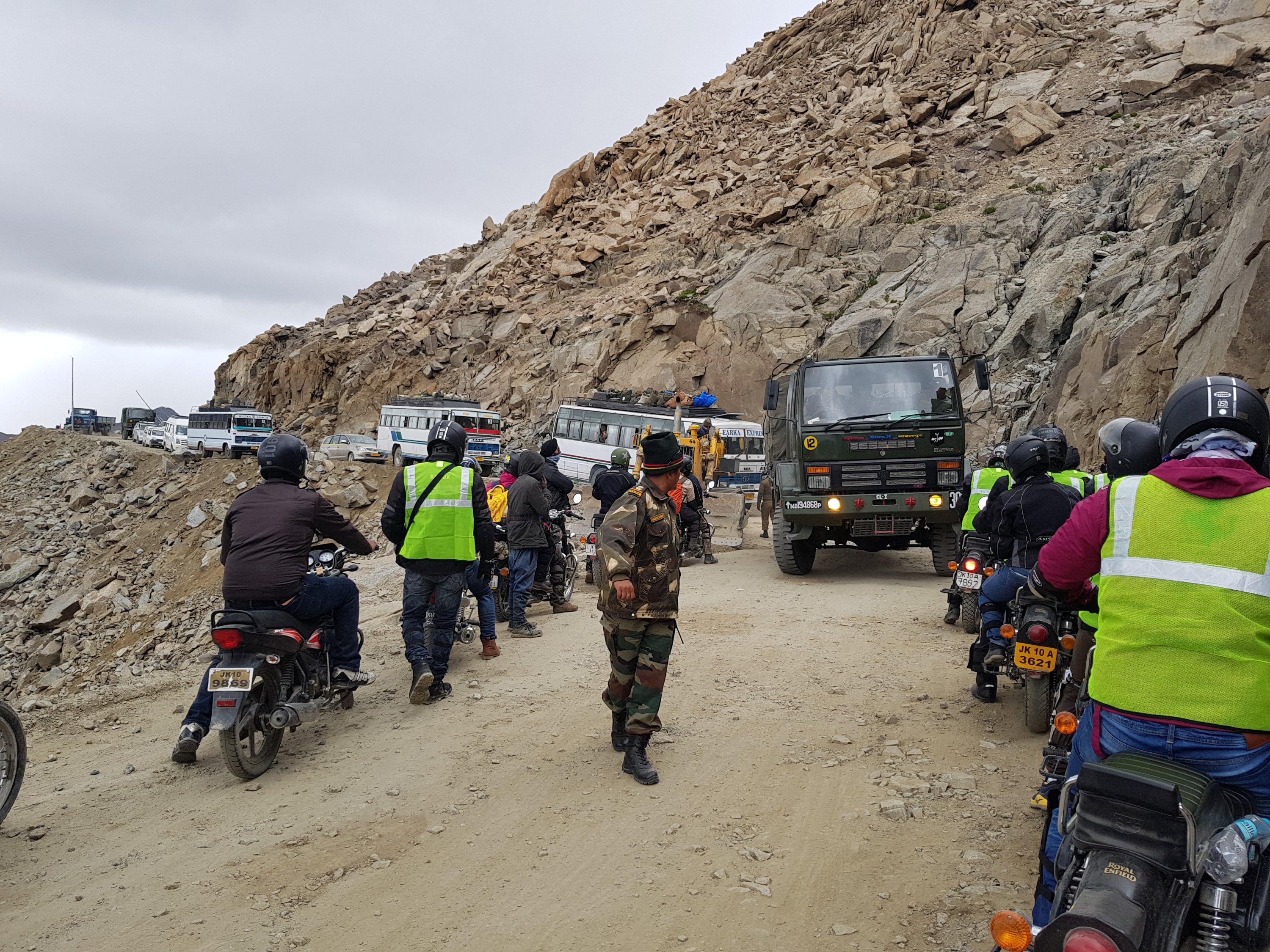
The top of the pass was one big traffic jam. A squadron of army trucks was returning, and there wasn’t enough room for everyone. I (and hundreds of others) stood in the exhaust as the jam was resolved.

Traffic jam near the top

Traffic jam near the top

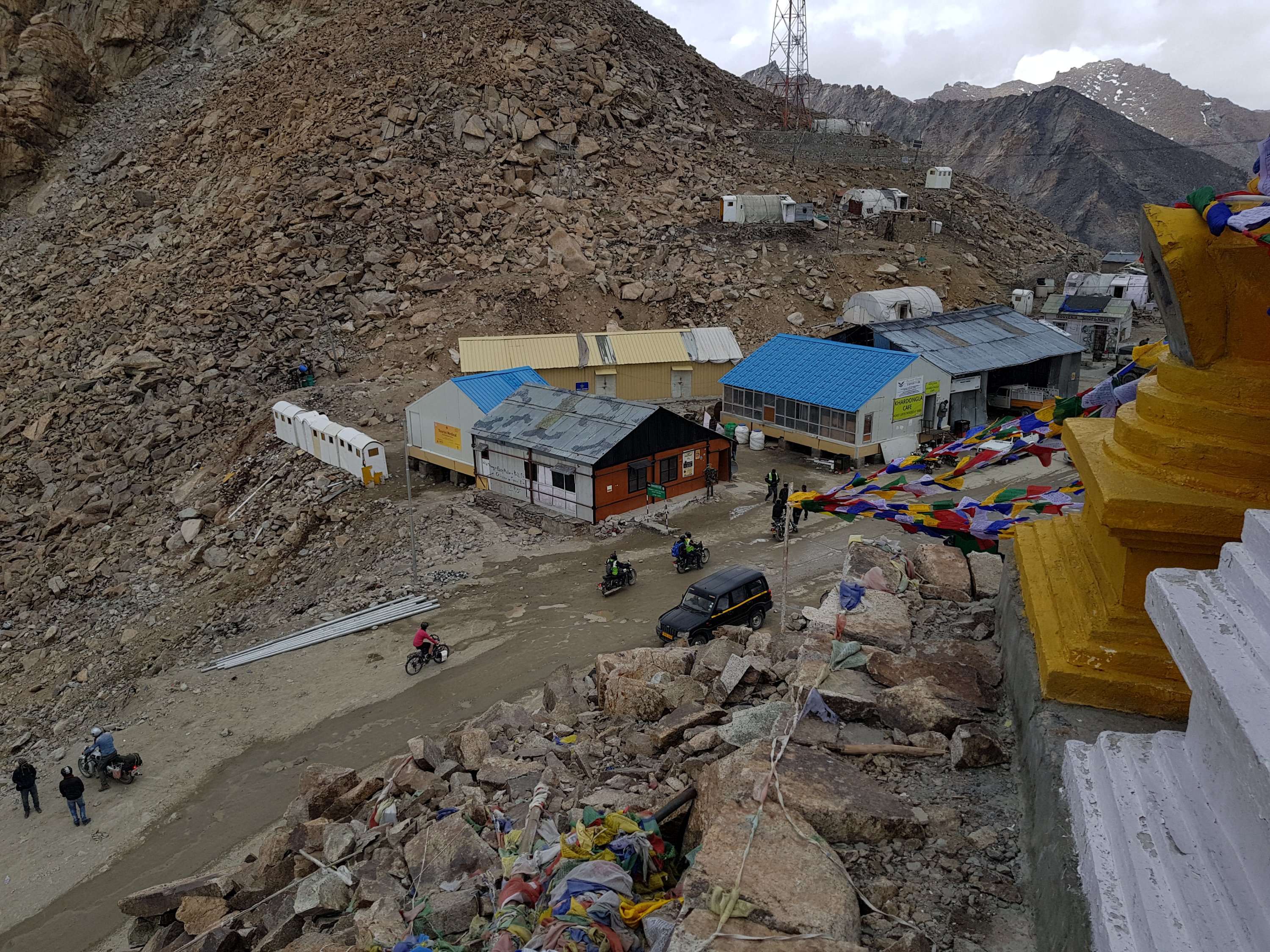
I arrived at the top, cheered Jessica on from the prayer flags and gompas above the road, and then we went into ‘one of the highest canteens in the world’ as it started to hail.

Jessica arrives at the top

Jessica arrives at the top

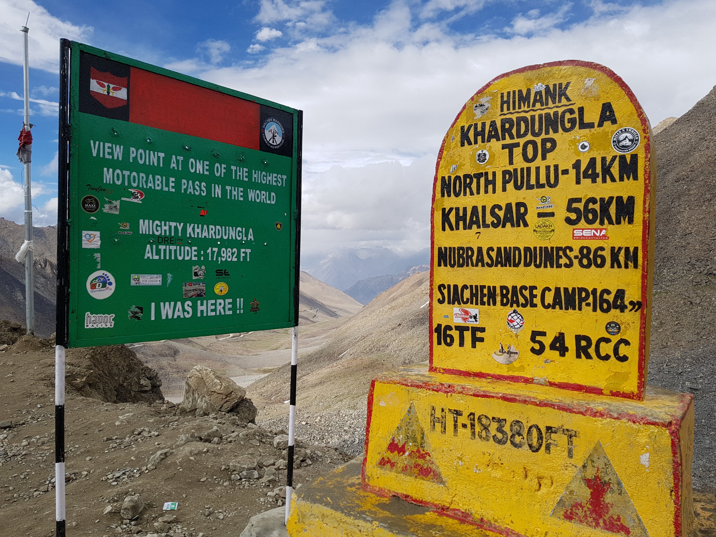
In fact, just next to the ‘one of the highest canteens in the world’ was the highest. It was about 20 feet along the road, and a whole 398 feet higher, according to the sign. There were also two miraculous neighbouring signs at these two key altitudes.

Khardung La summit. Not sure of the altitude though.

Khardung La summit. Not sure of the altitude though.

Khardung La

Khardung La

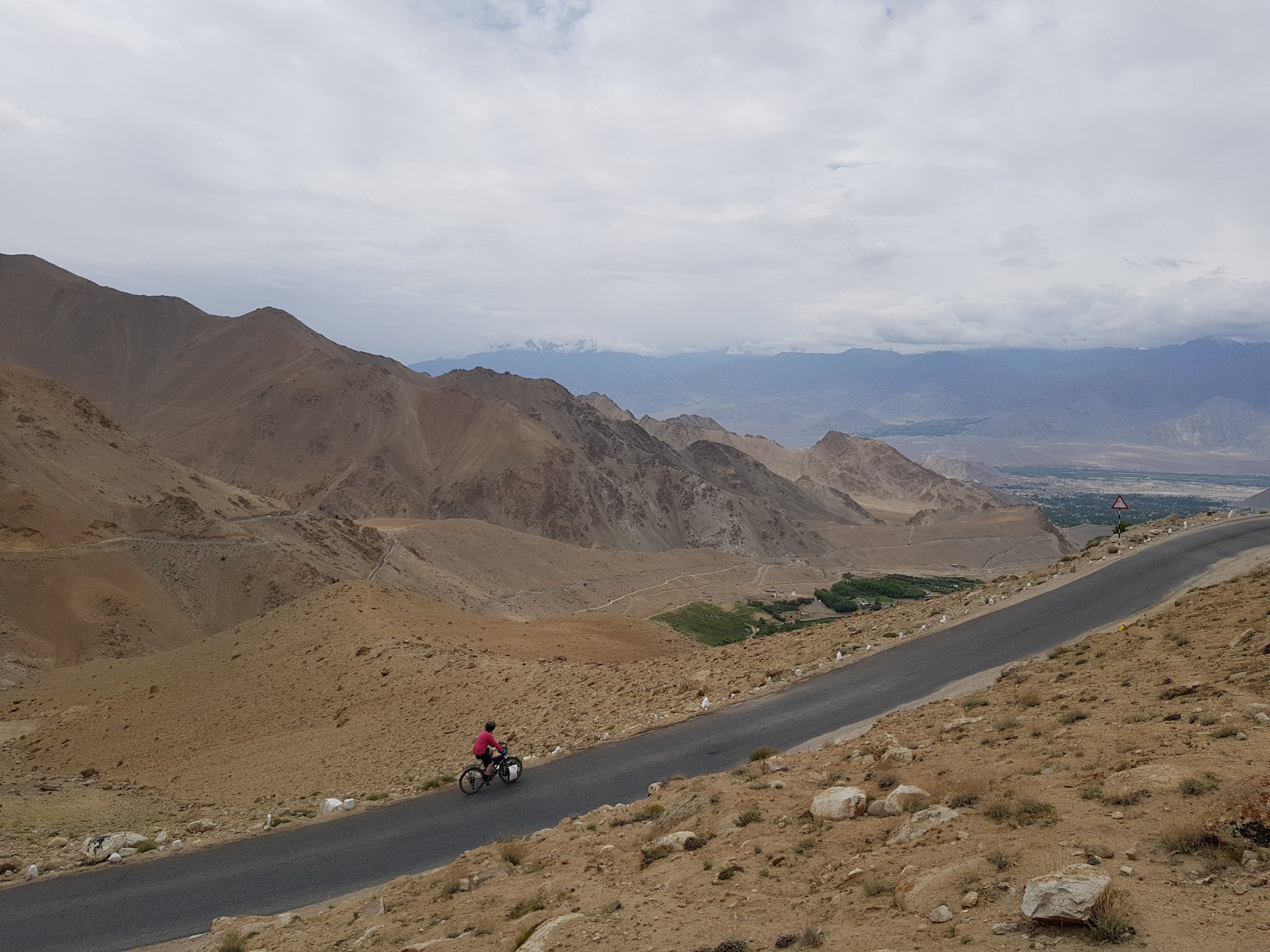
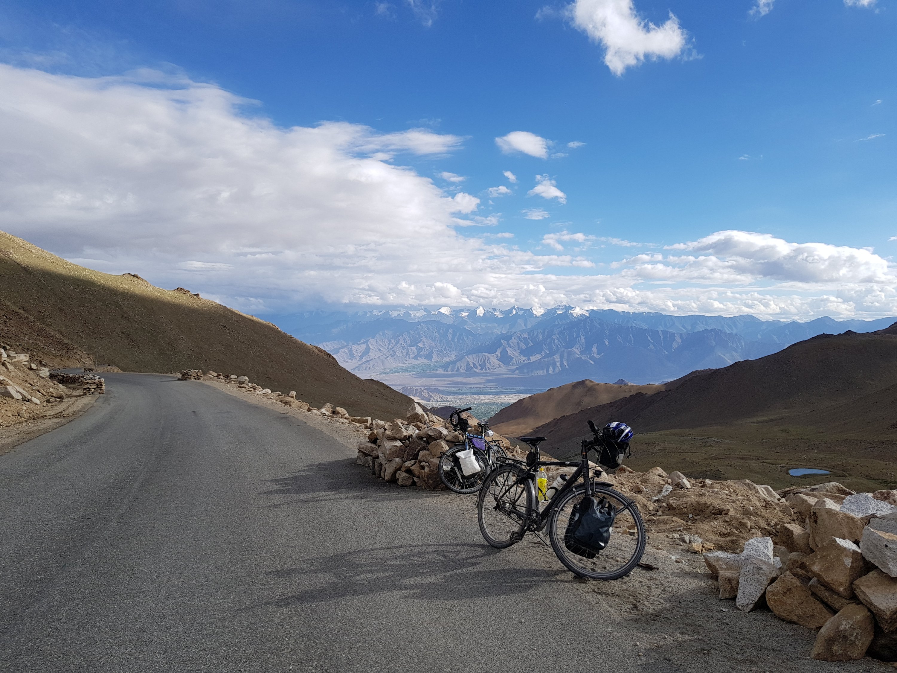
The way down was nothing short of spectacular. The rain stopped, and the evening sun bathed the whole valley in a soft, yellow light. After the 10km before the pass were rattled down, it was a smooth, bitumen road, and a beautiful and incredibly long decent into Leh.

The way down from Khardung La

The way down from Khardung La

The way down from Khardung La

The way down from Khardung La

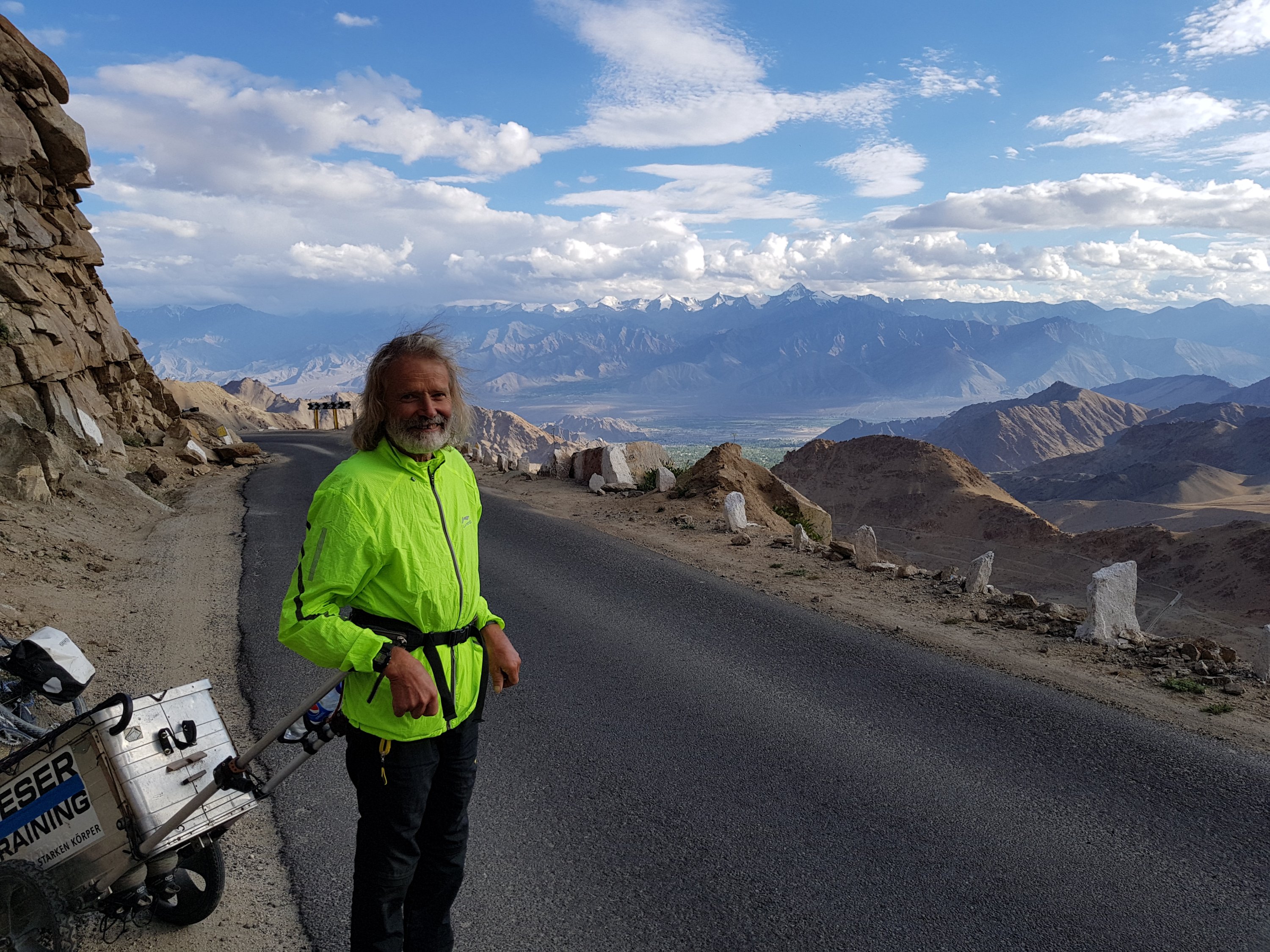
We passed a guy who had walked from Germany in one year. Pretty quick..

This guy walked from Germany.

This guy walked from Germany.

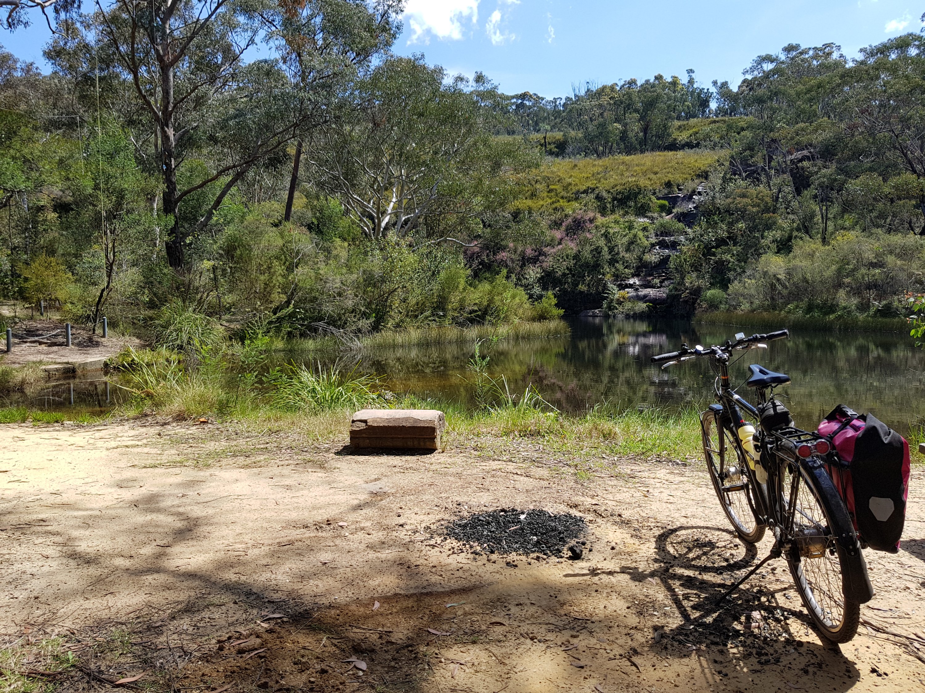
Arriving in Leh, we were starving. The skeleton ate 3 main courses.
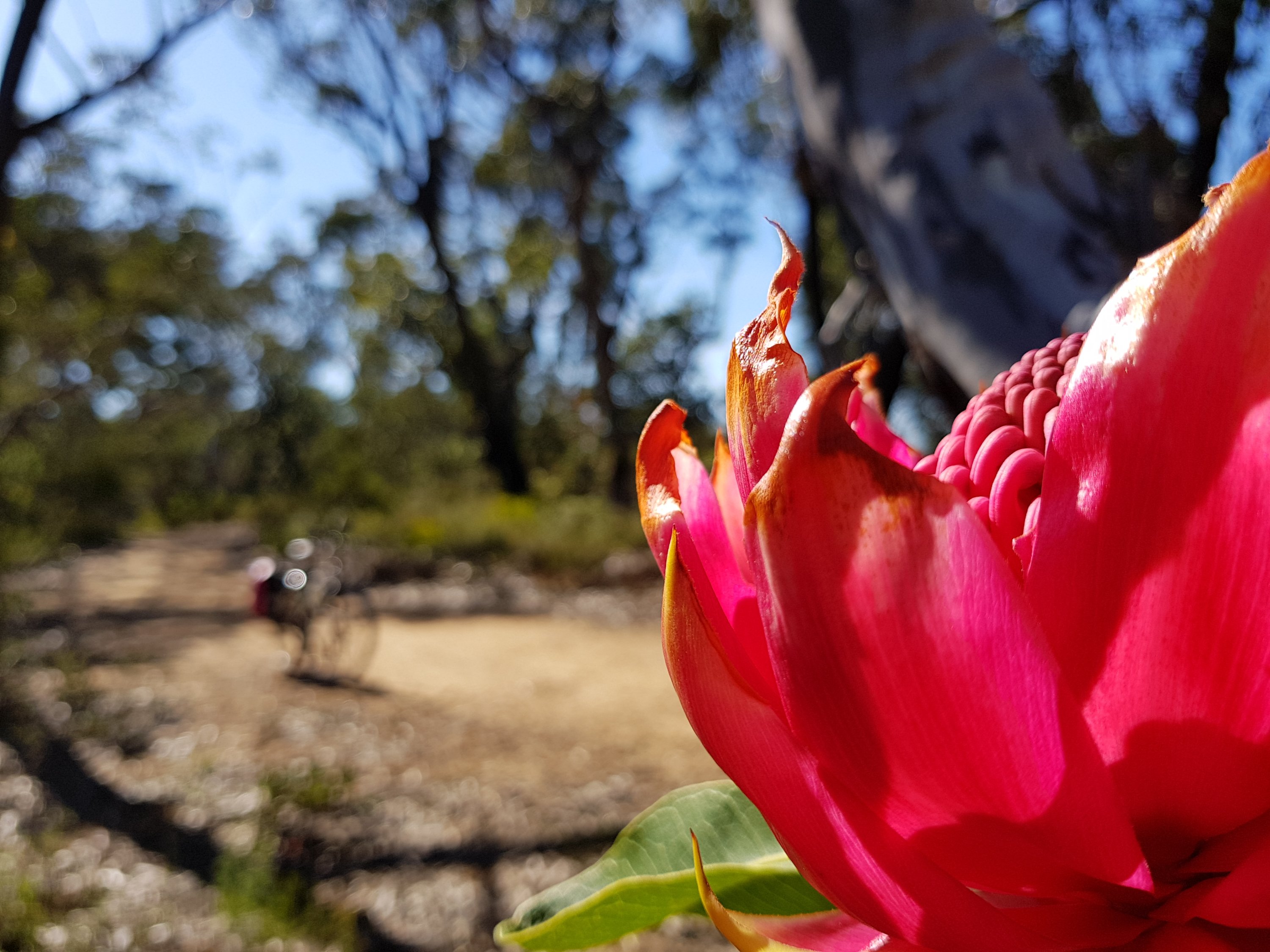
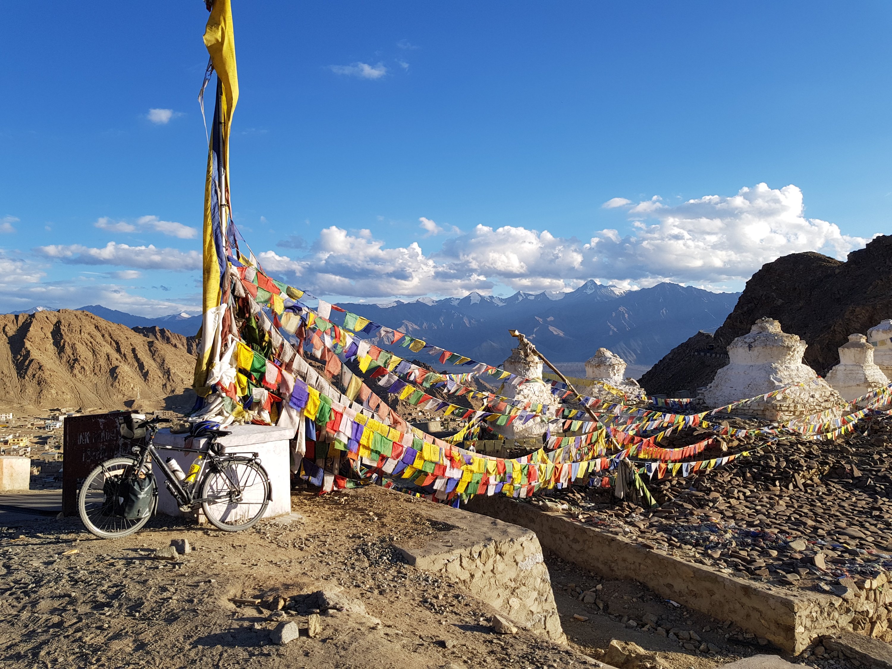
Gompa above Leh

Gompa above Leh