Start: Observatory Hill, Sydney
End: Newcastle Ocean Baths
Total distance: 84km
Strava link
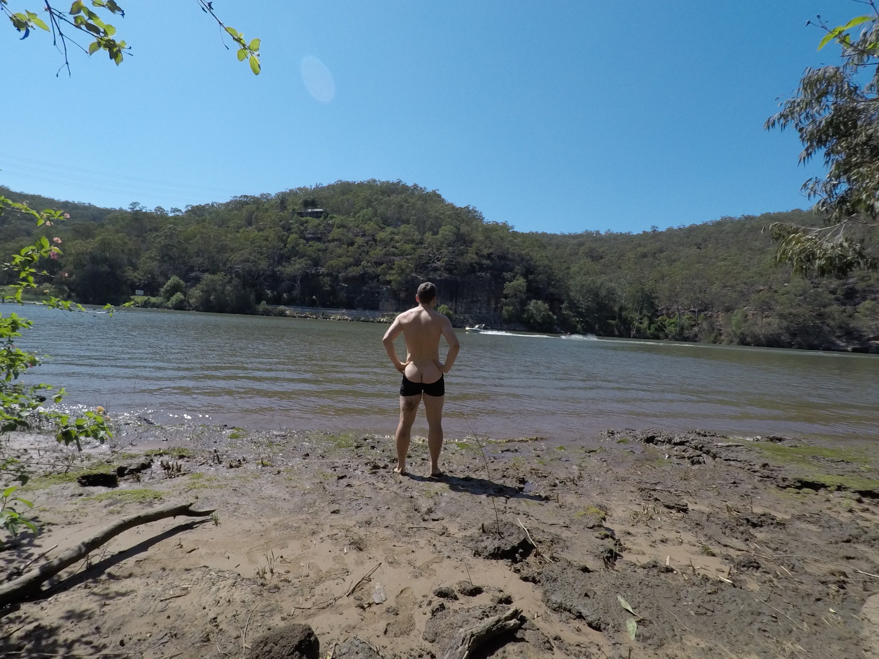
‘Did you see the naked guy with the branches?’ they asked me at the Budgewoi drink stop. I had – a 20 year old guy walking down the main road naked – only wearing a few branches tied to his body – at 4 o’clock in the morning. These things happen cycling along the central coast to Newcastle overnight.
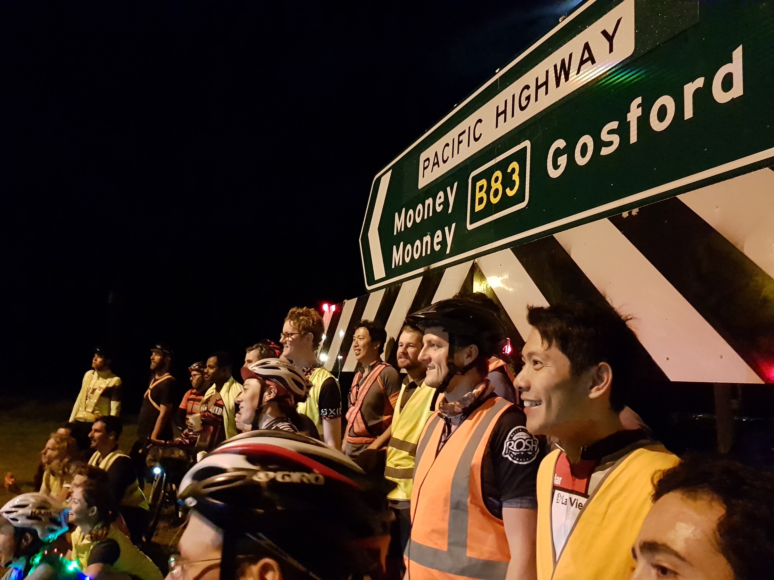
Normally I cycle alone, but this trip caught my attention. A group of about 150 cycling up the main road (not the freeway) from Sydney to Newcastle. To avoid the traffic, they do it at night.
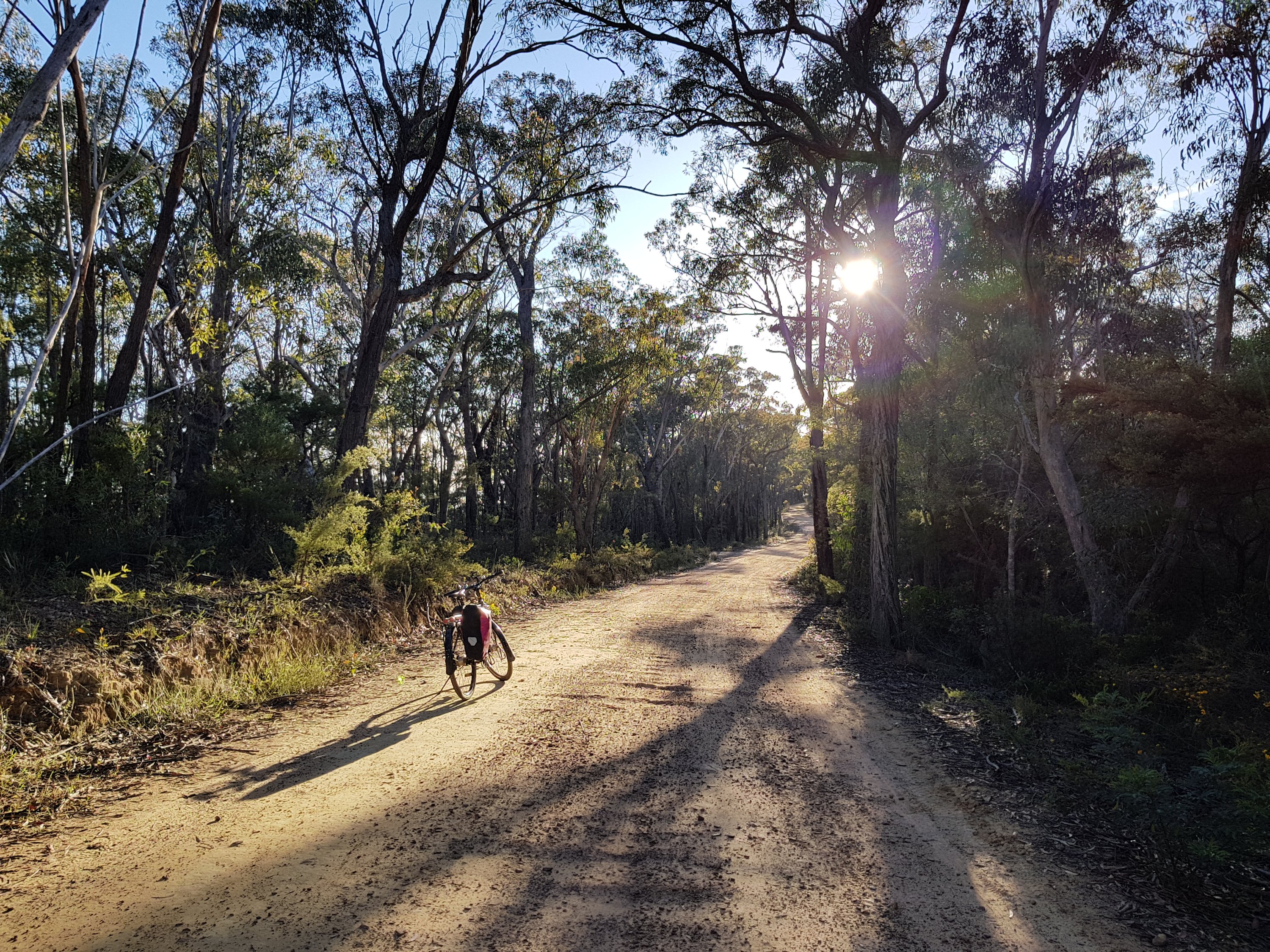
At night there is a different vibe. Peace reigns as you cycle through the bush, through the night. Everyone is sleeping as a cloak of darkness engulfs, only penetrated slightly by the wobbly beam lighting the road 2 metres ahead. `
Everyone is sleeping except the central coast hoons careering along in packs, illuminating the low-hanging mist, bush and cyclists with their industrial strength headlights.
Two official stops – at Mt White and Budgewoi – and random service stations are were where the cyclists meet. We feel camaraderie as we carry out this crazy activity together. At Budgewoi at 4am I stopped at the little erected tent near the roundabout and had a bacon and egg burger kindly made amazing volunteers. The naked guy was the talk of the town.
Mt White checkpoint
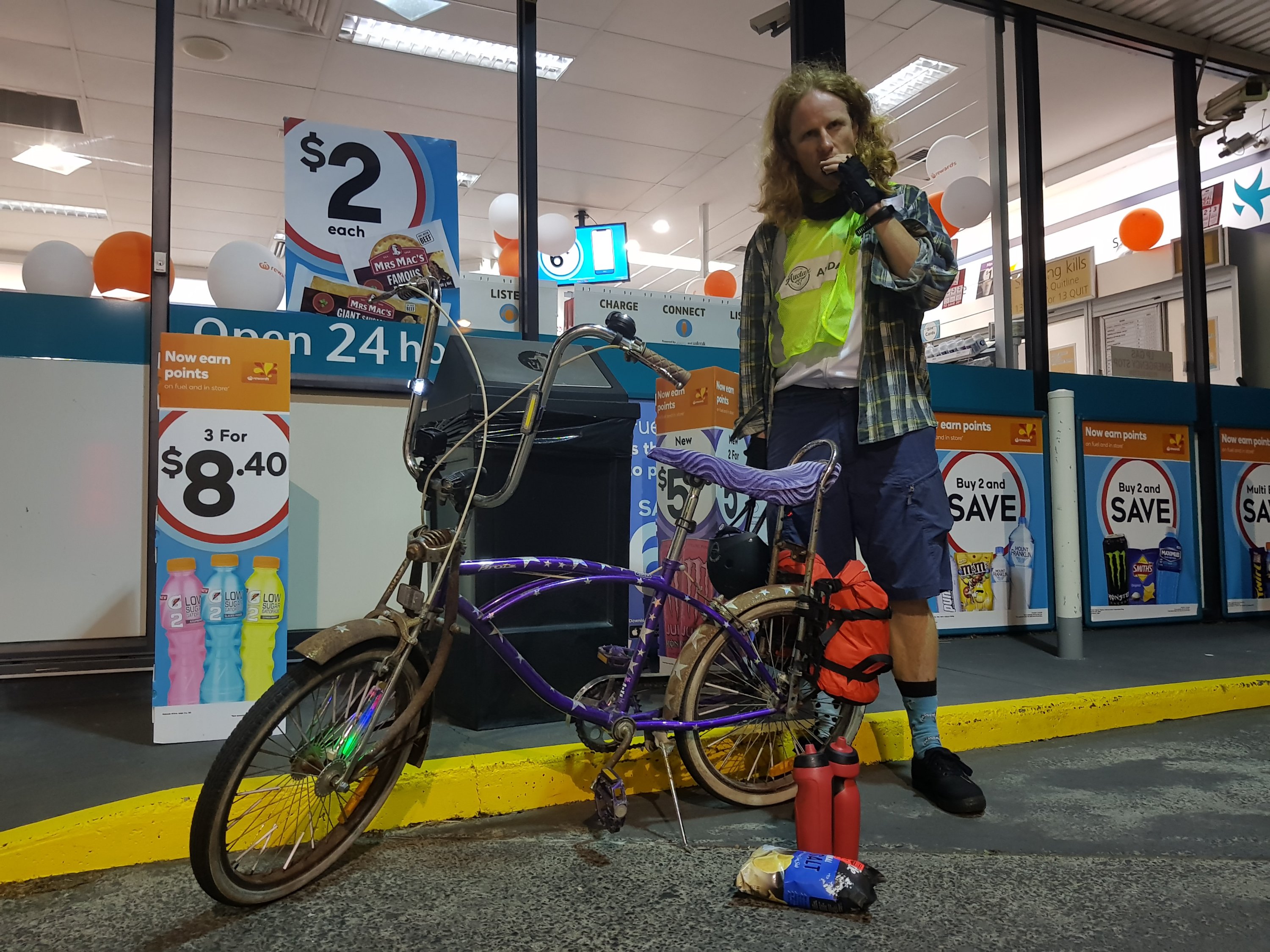
The most exotic bike to do the ride
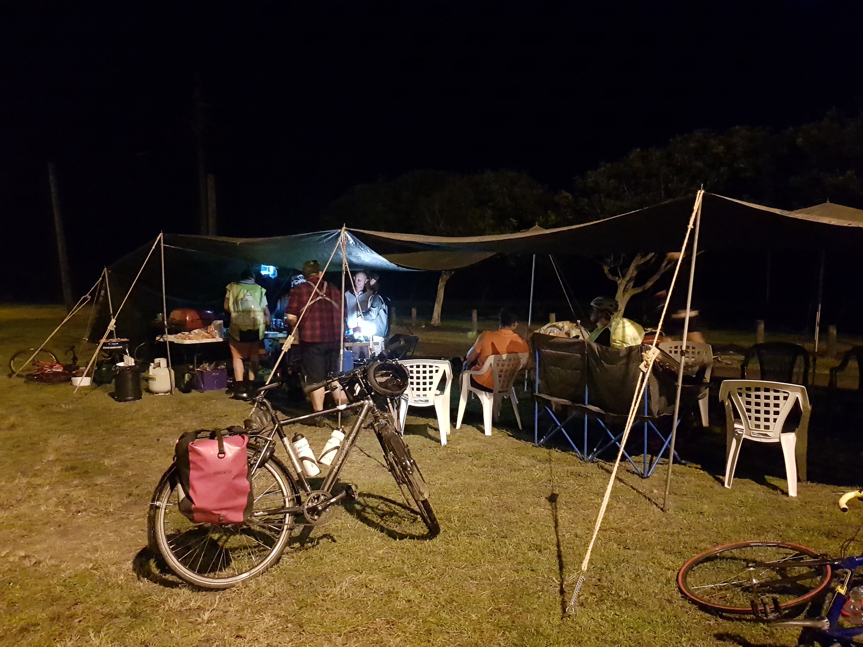
Budgewoi checkpoint
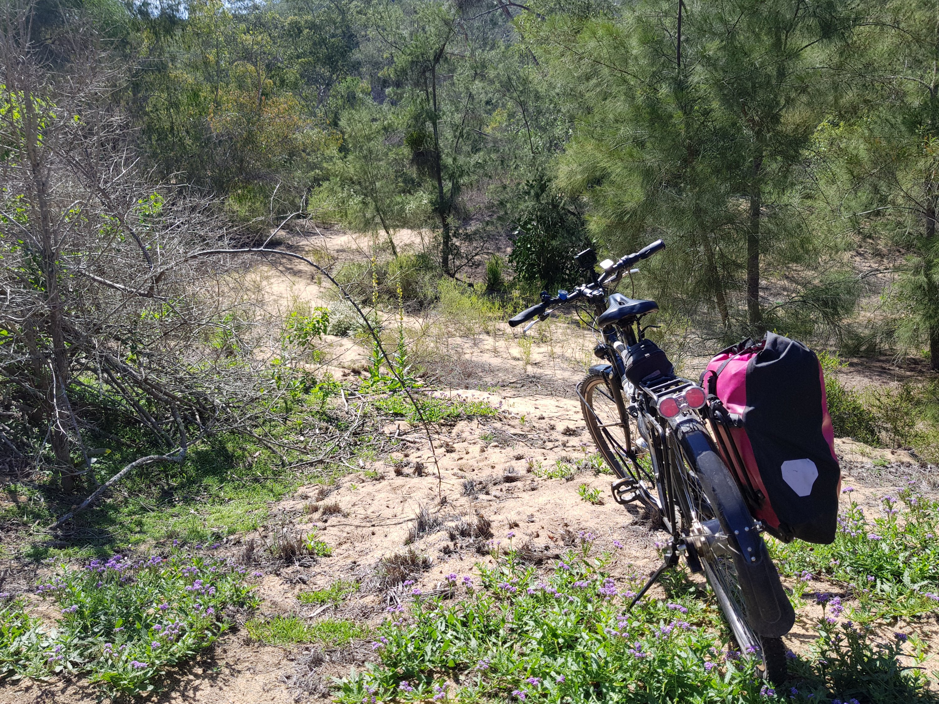
The last stretch into Newcastle was along an old train line – the Fernleigh track. Arriving in Newcastle, it was time for a burger with the works. I had earned it.
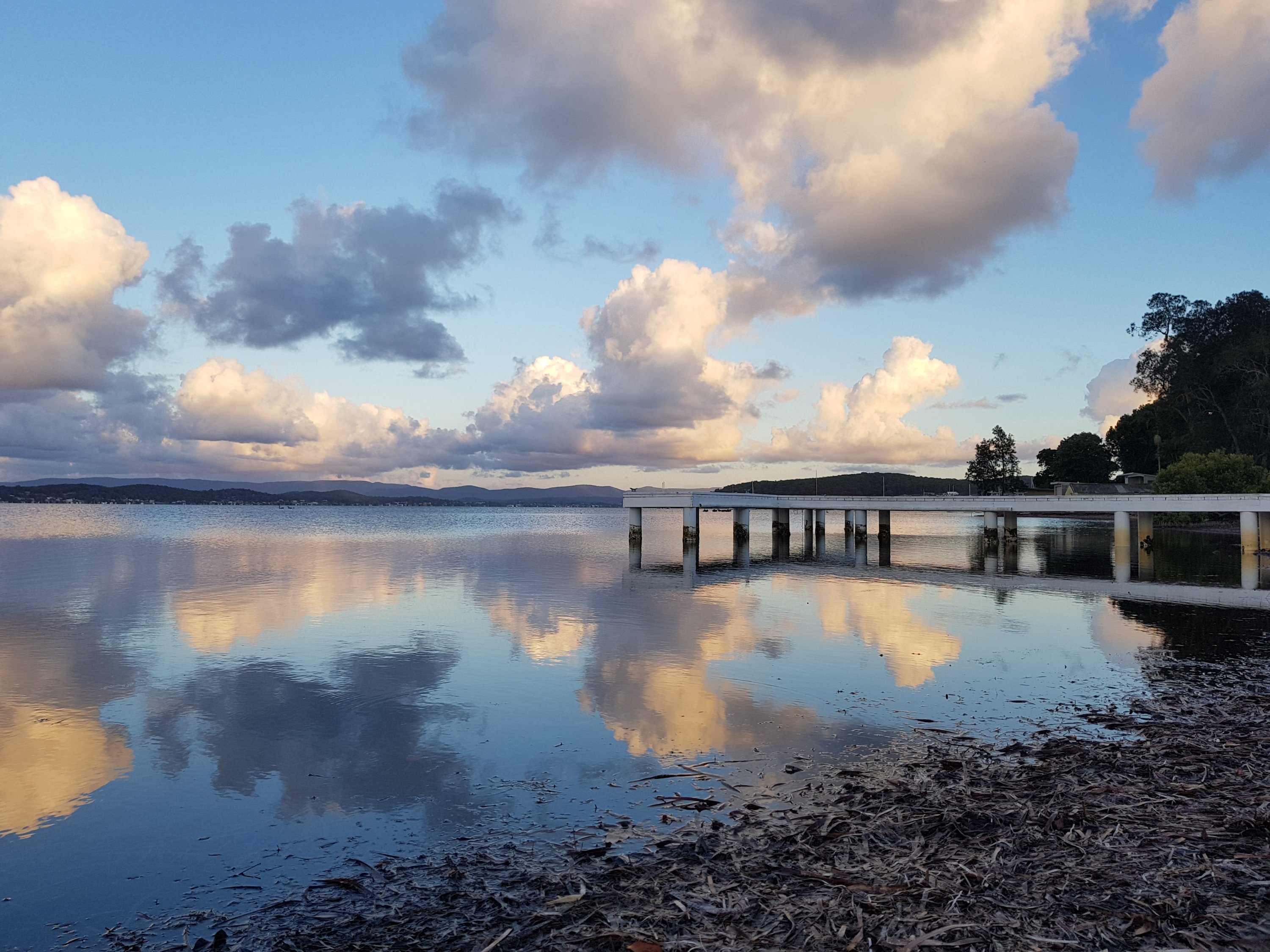
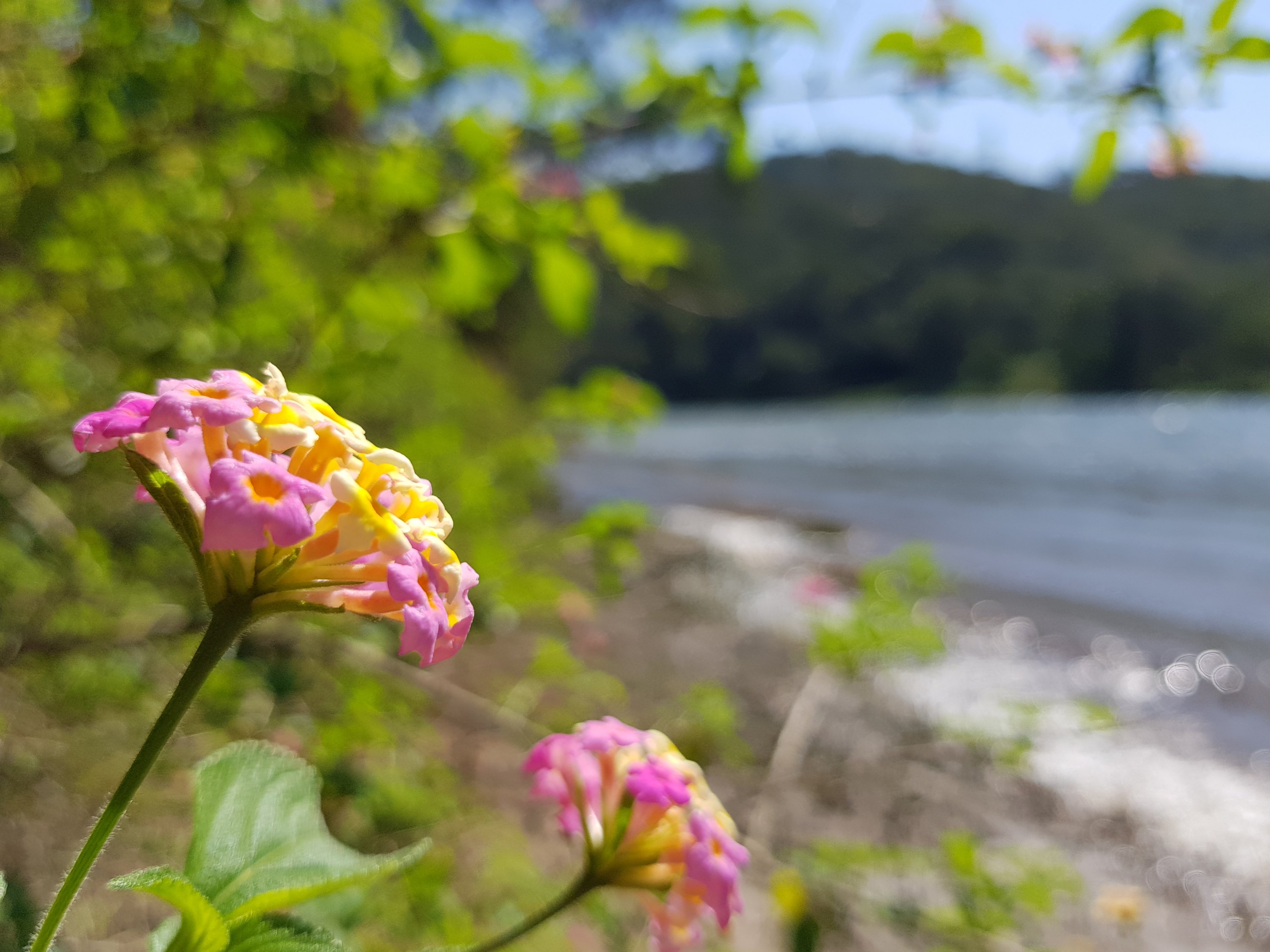
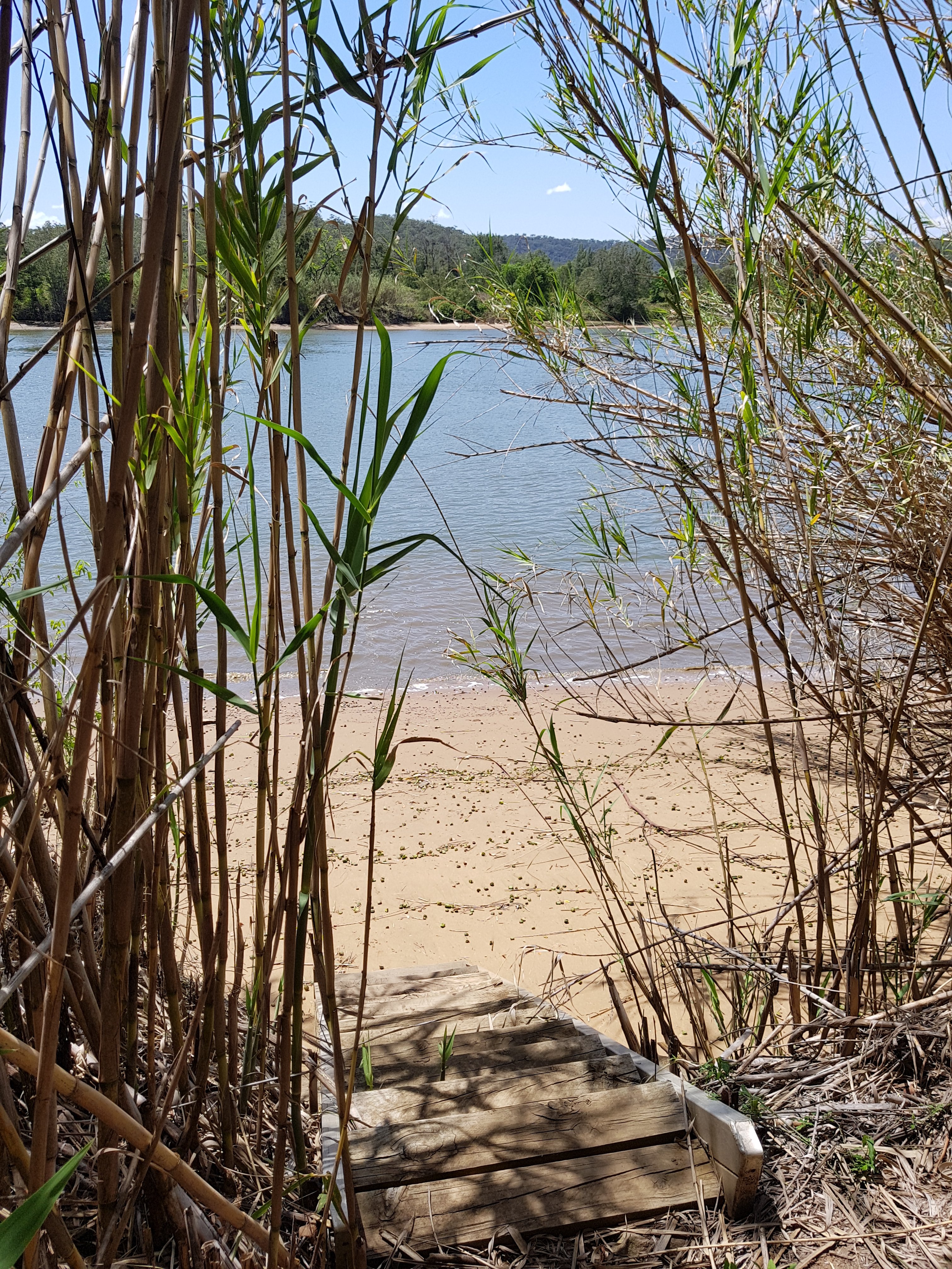
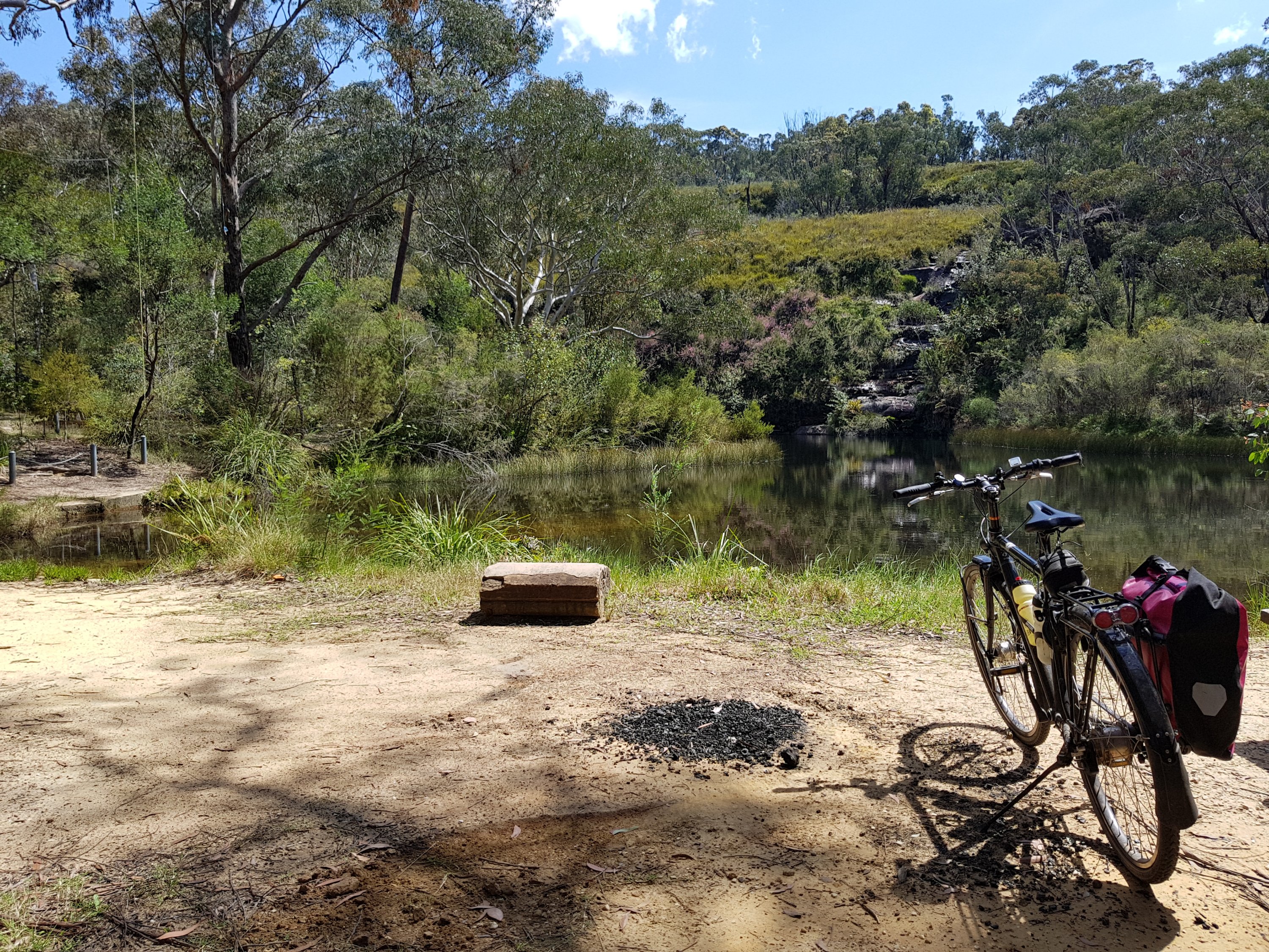
Lake Macquarie
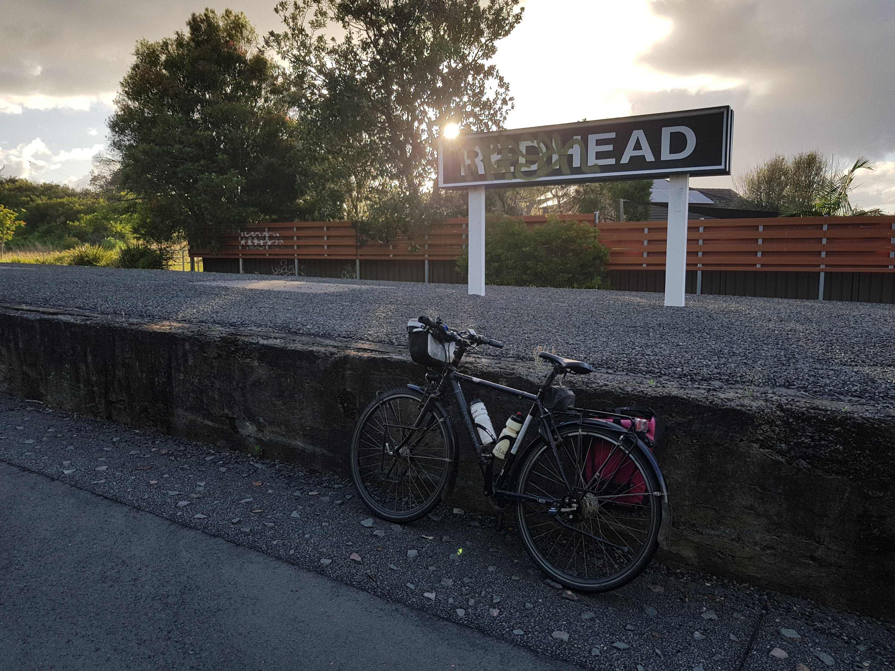
Fernleigh Track
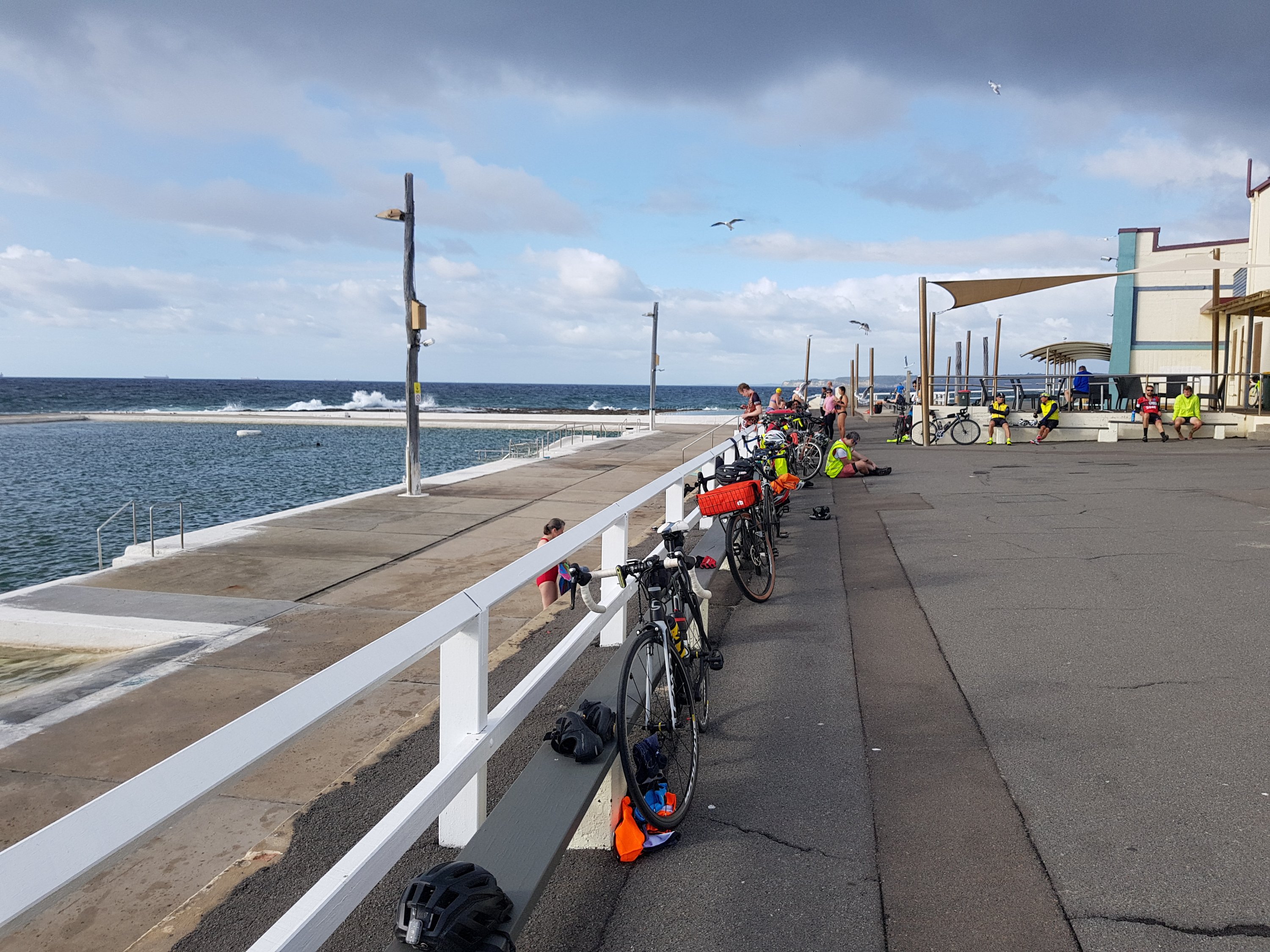
Newcastle Ocean Baths