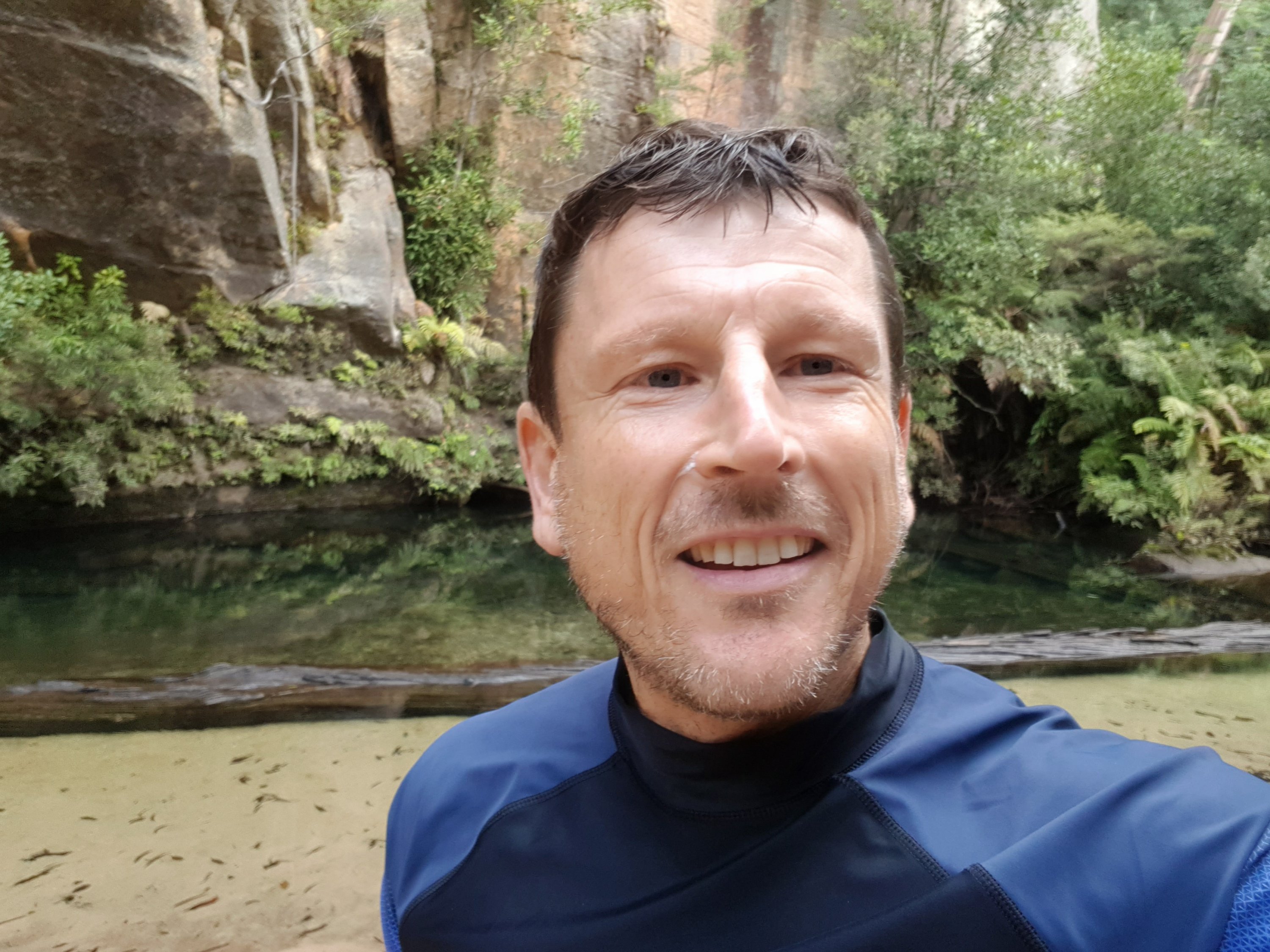
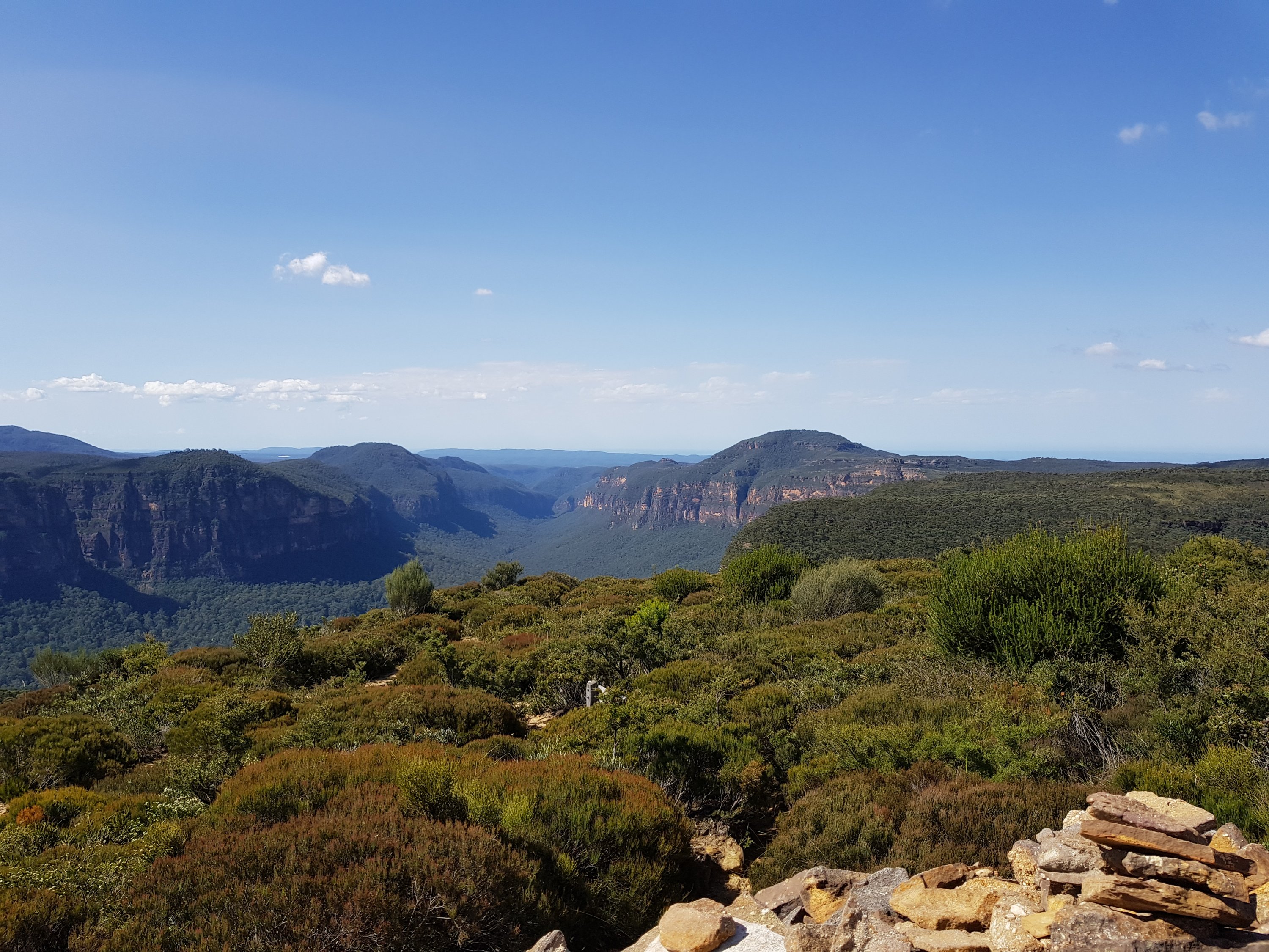
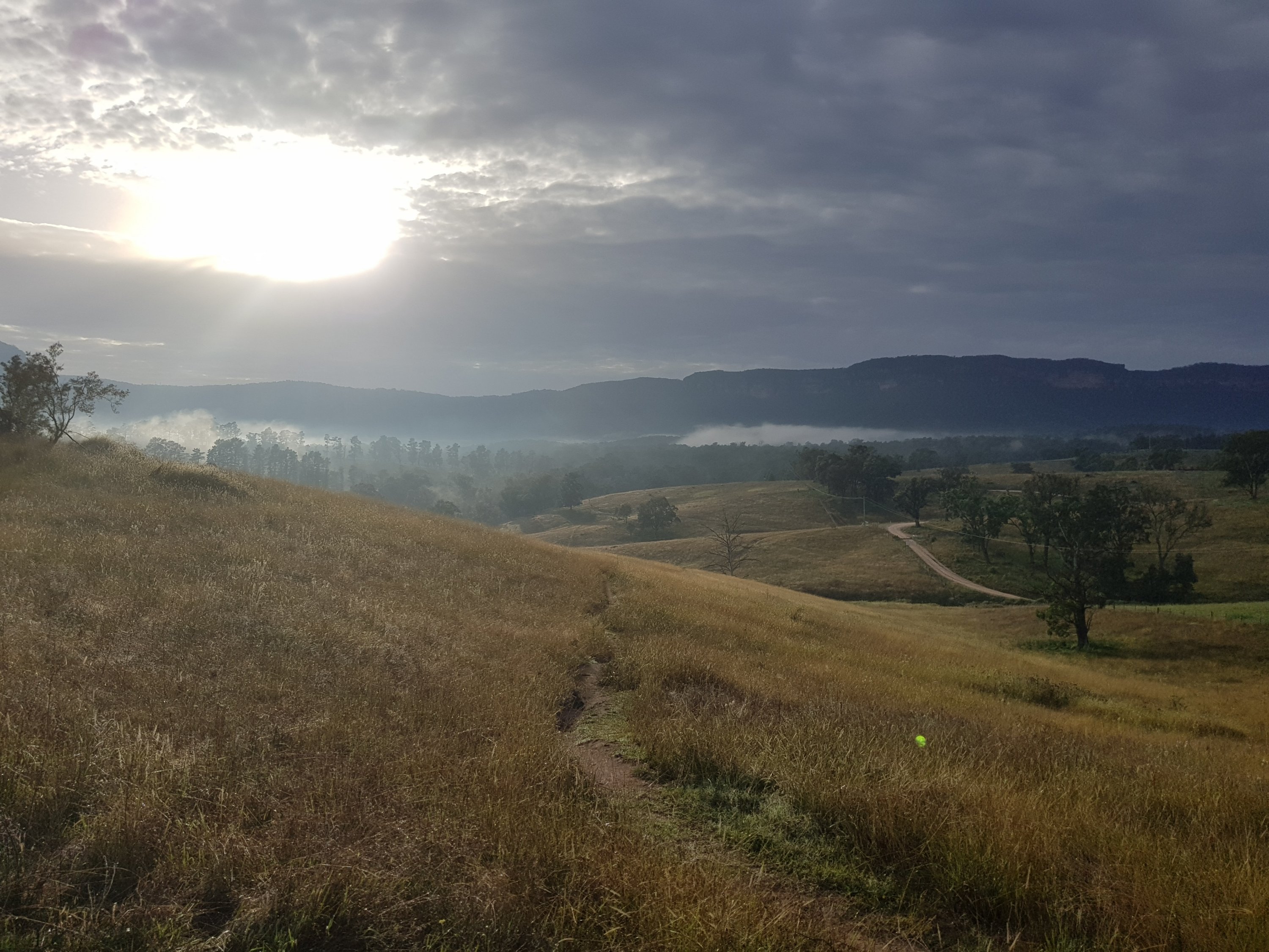
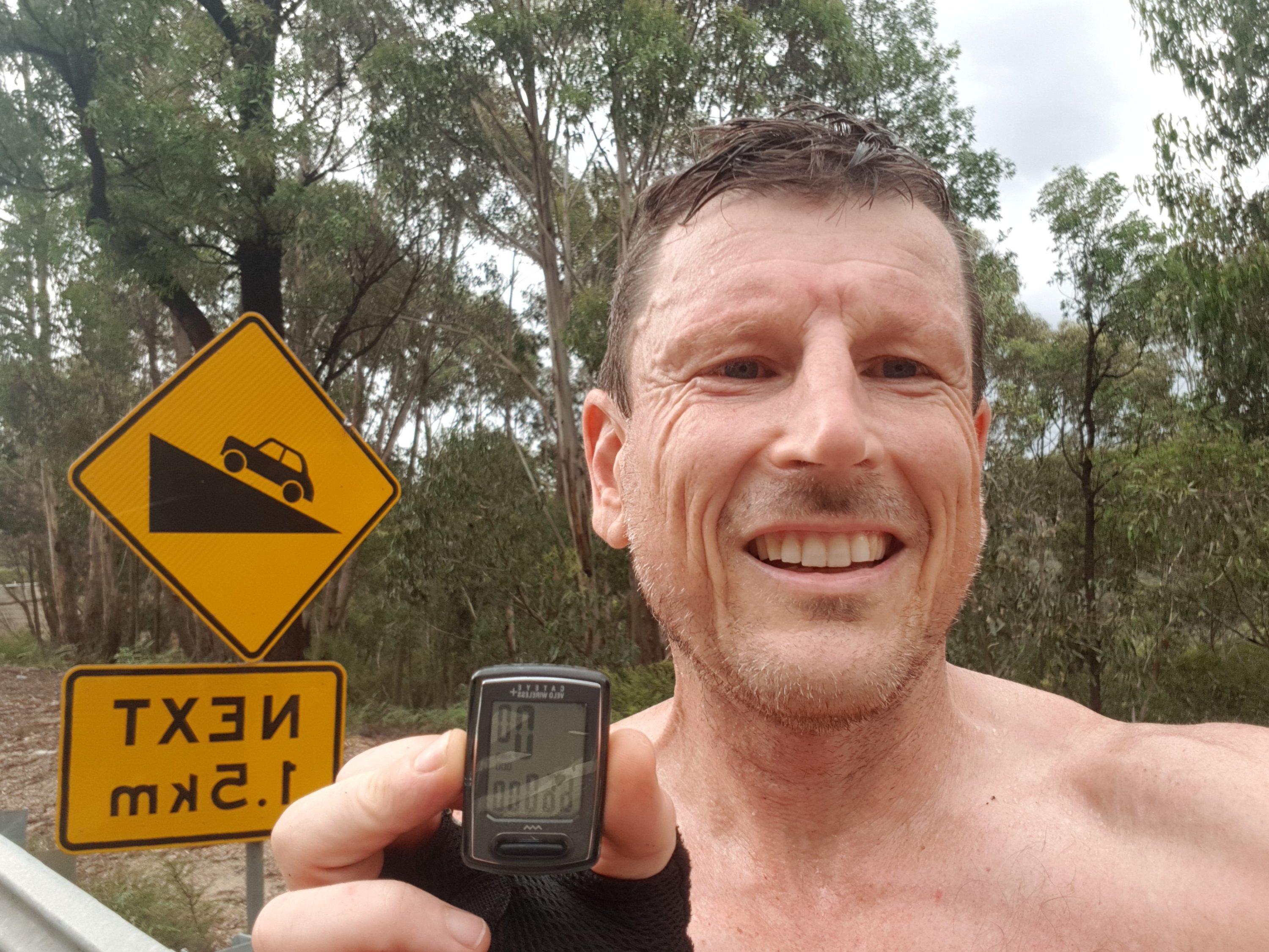
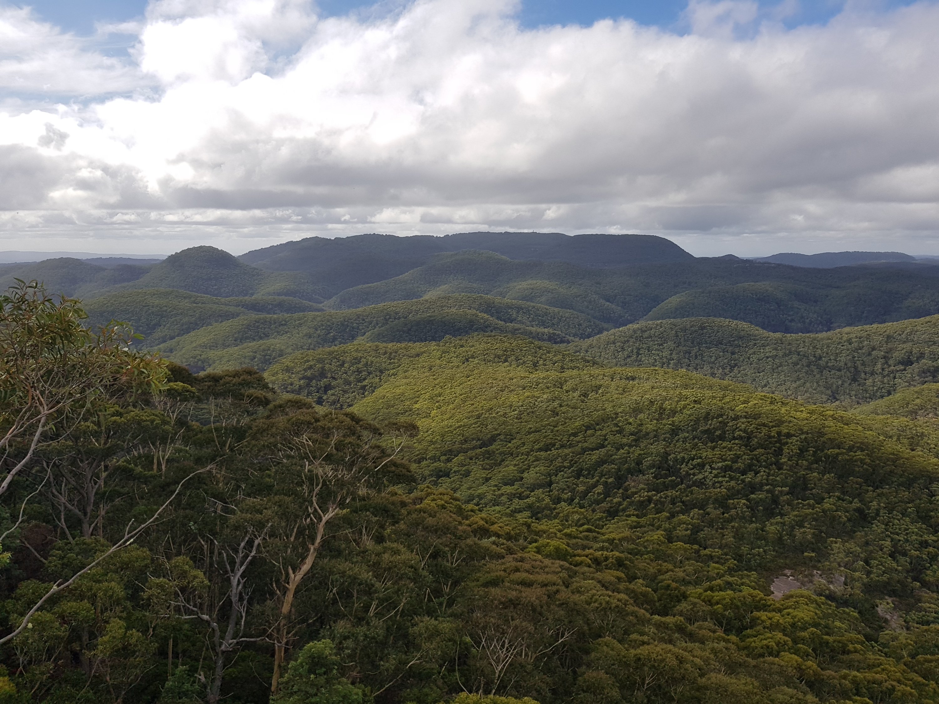
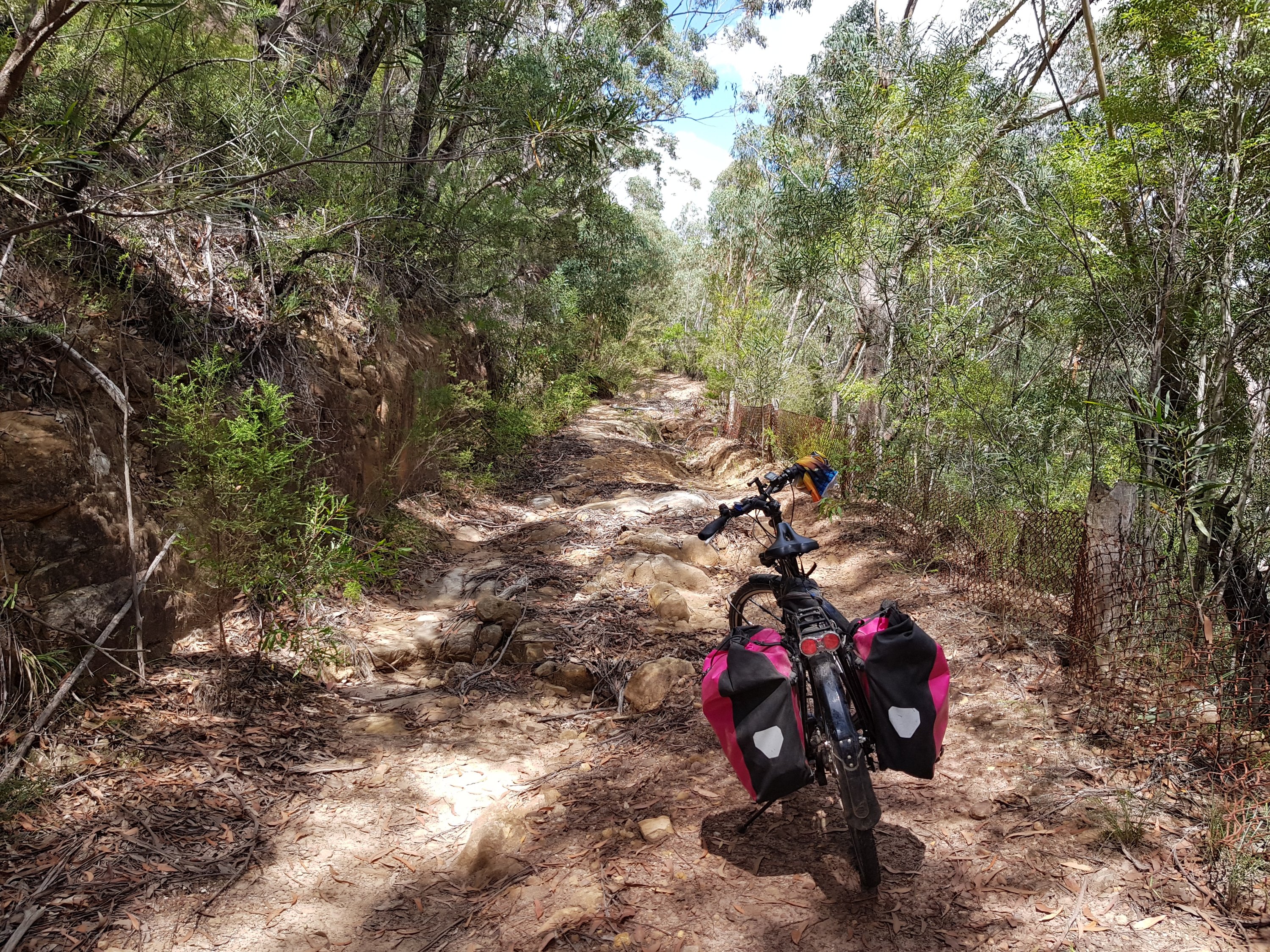
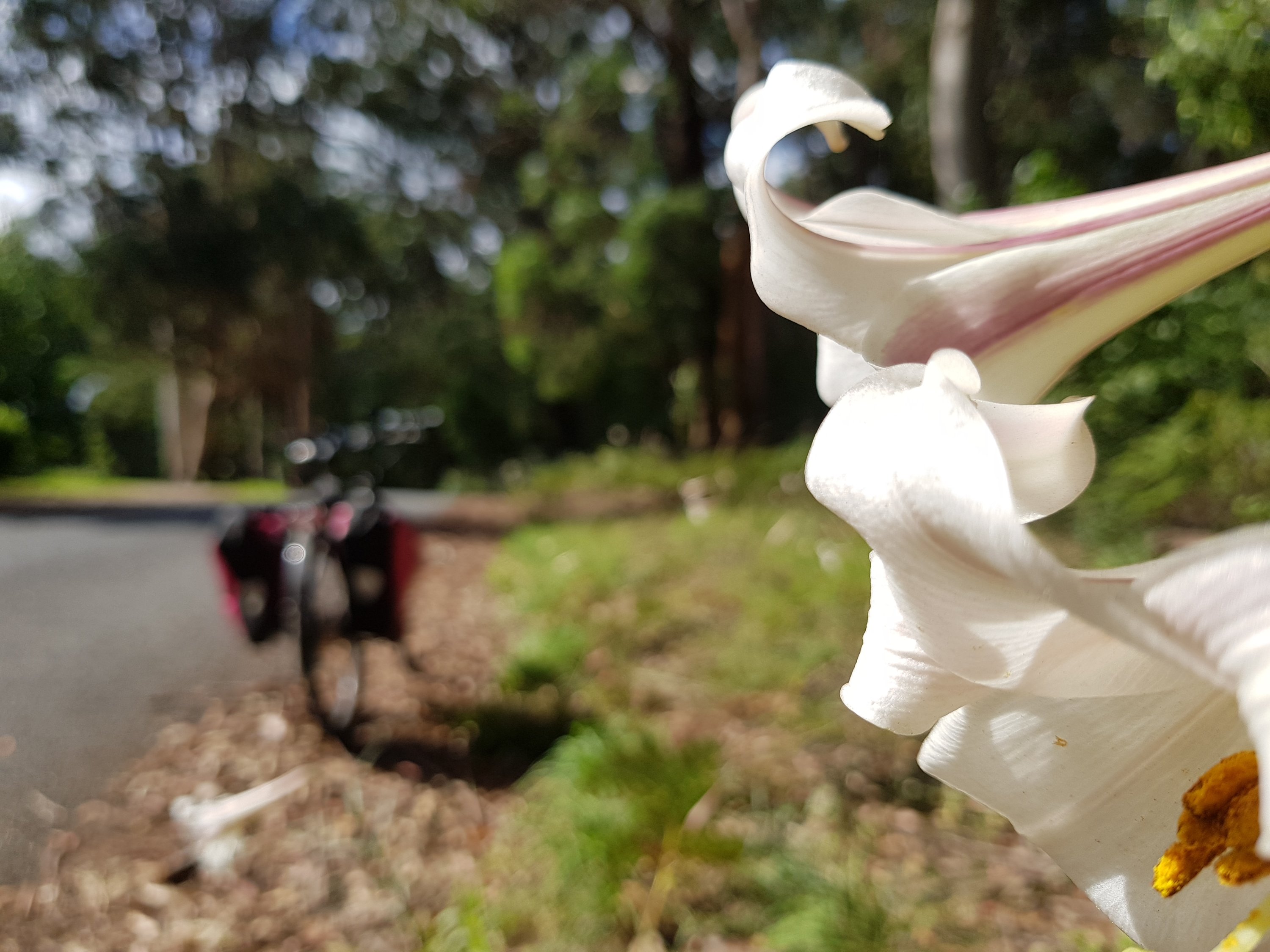
With winter coming, long bike trips are being replaced by shorter hikes near train stations. Victoria Falls is only 6km from Mount Victoria station, but, at 8am there is no-one there. A little side track leads to the beautiful Asgard and Thor Heads which look out over the amazing Gross Valley.
Start: Mt Victoria Station
End: Mt Victoria Station
Total distance: 30km
Strava link
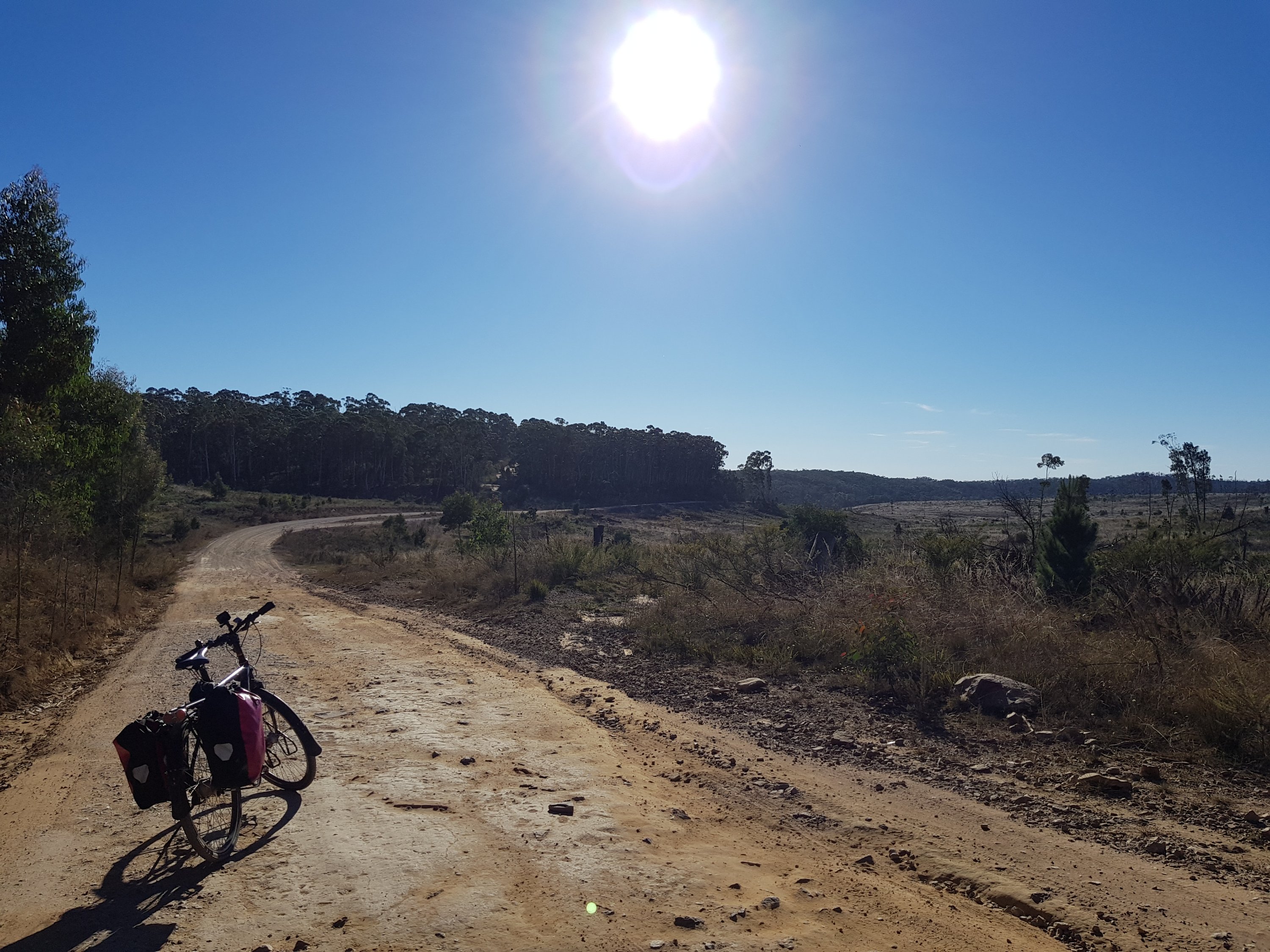
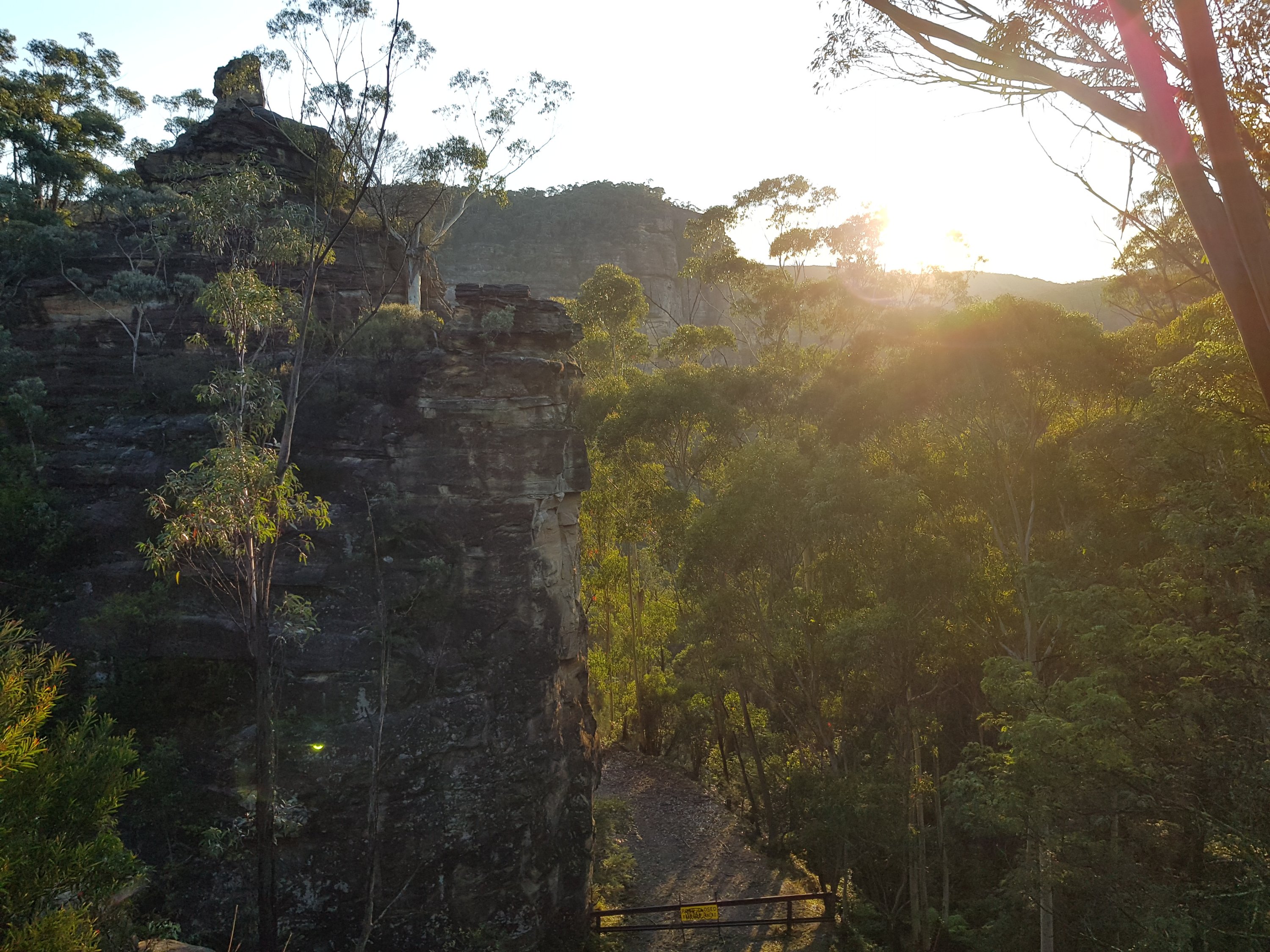
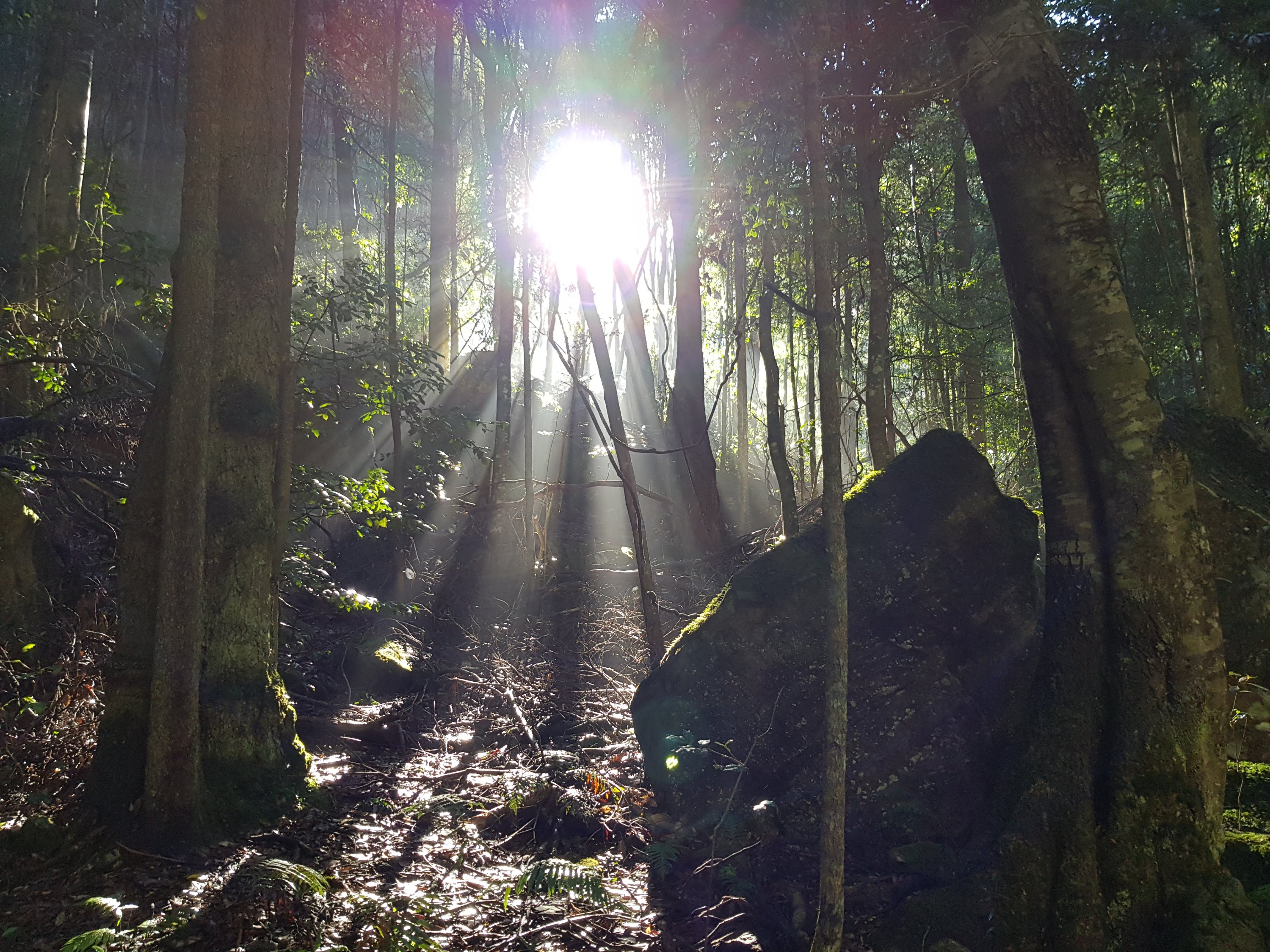
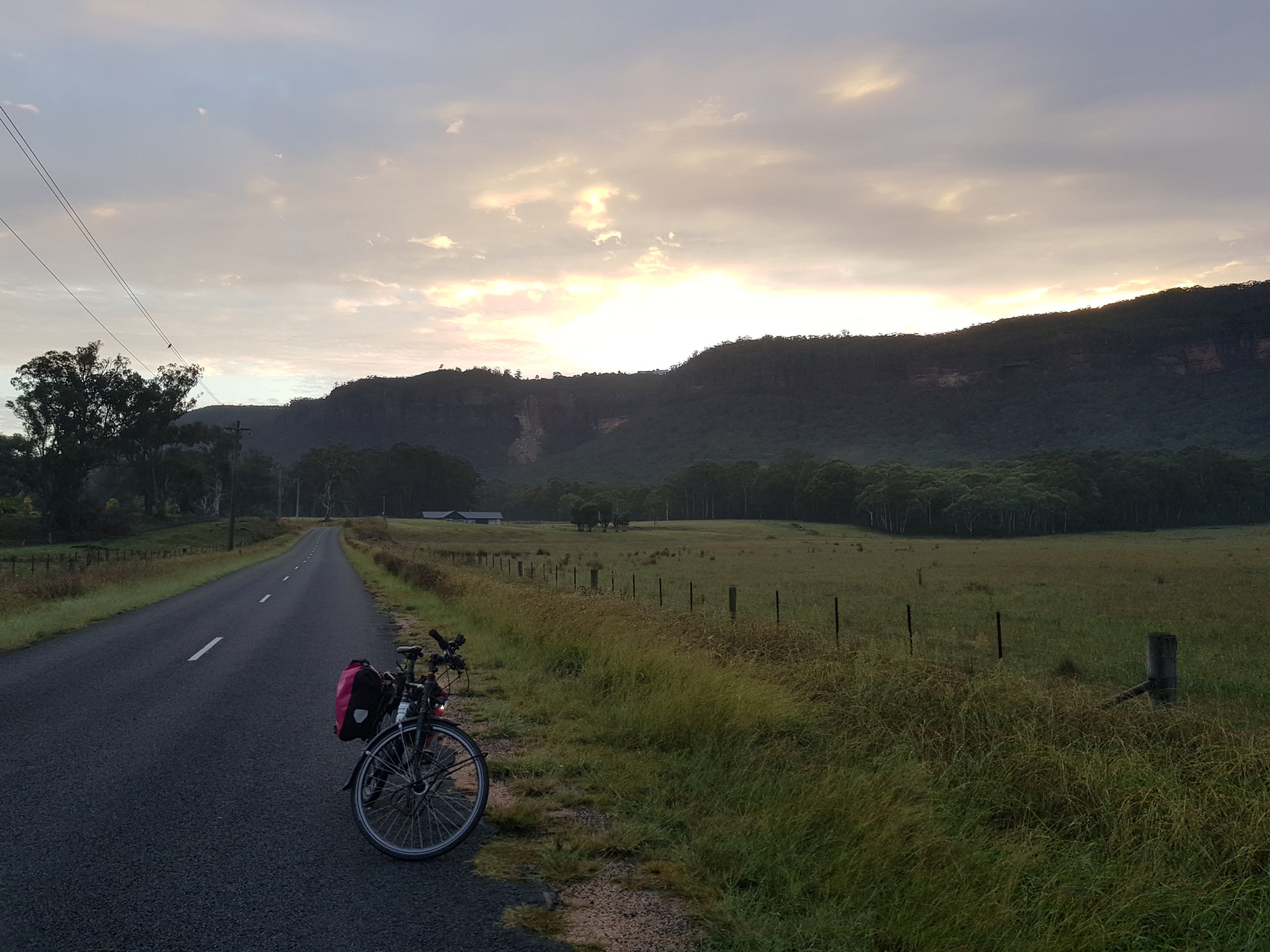
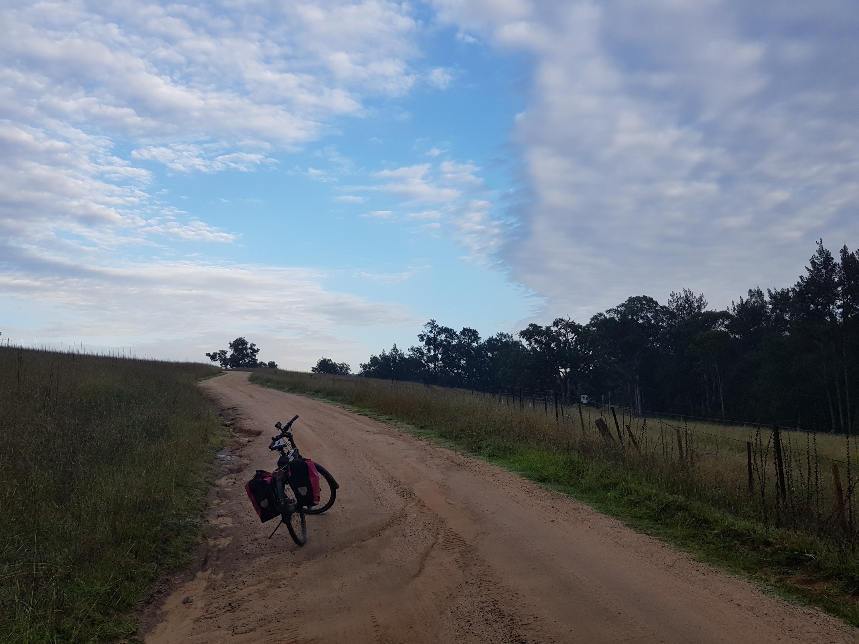
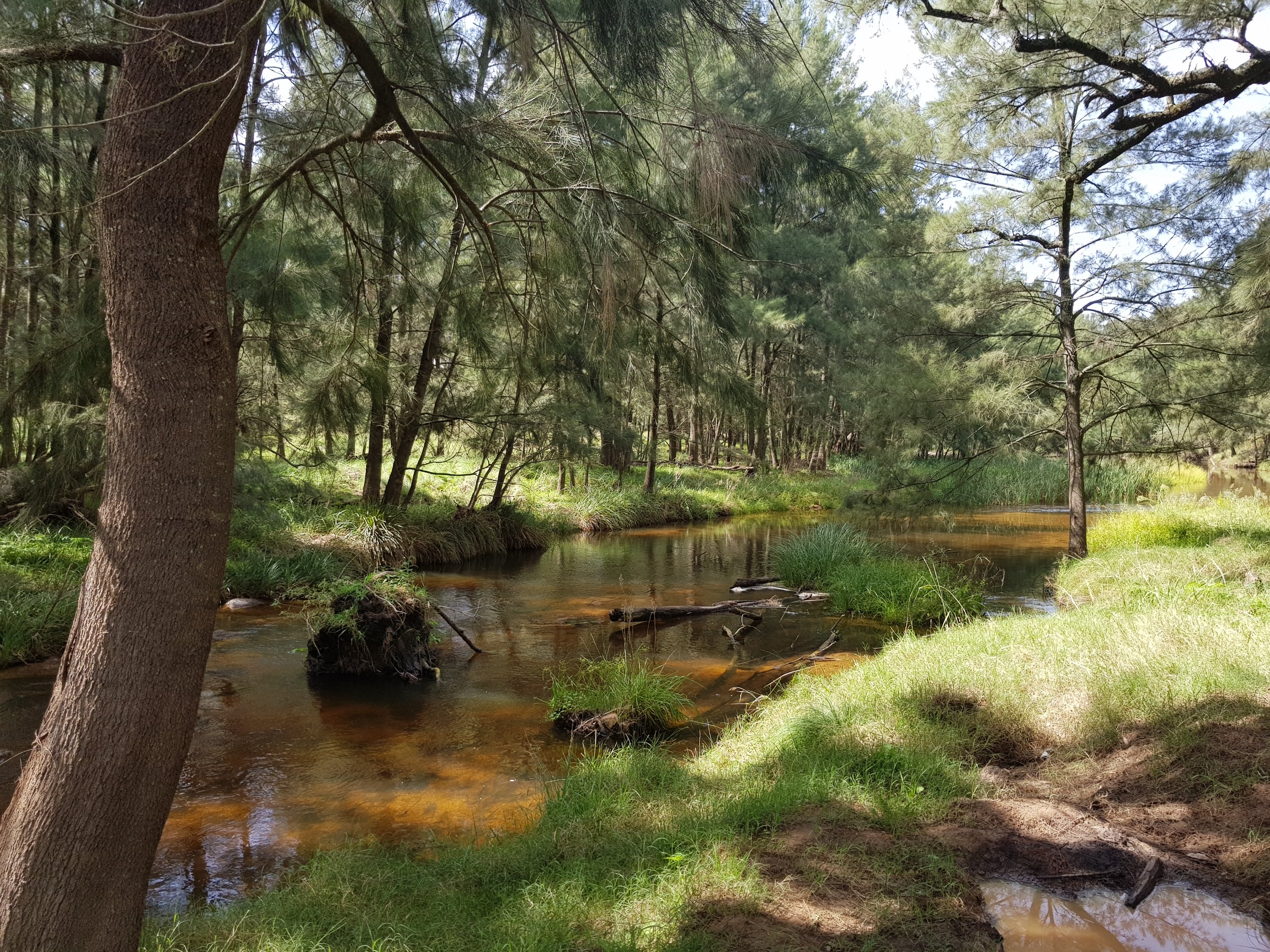
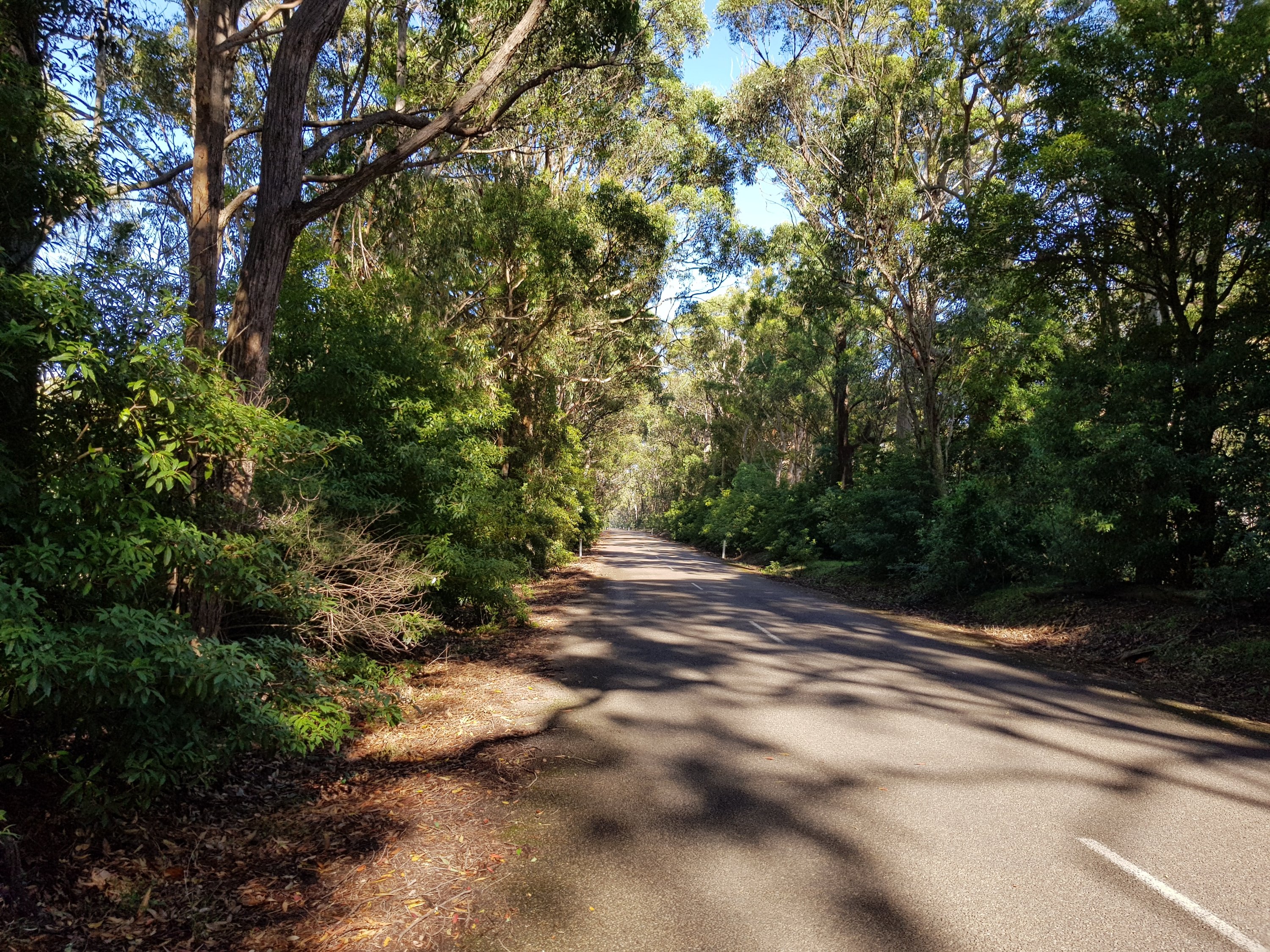
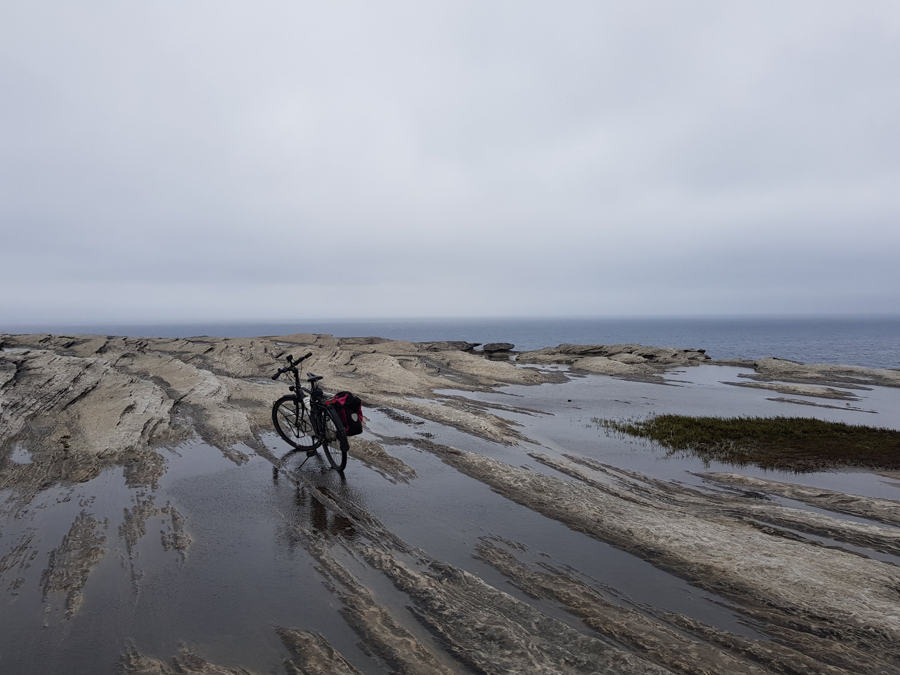
It is always beautiful cycling in the crisp morning sun when everyone else is still asleep. The soft orange glow makes the bush vibrate with morning freshness – eager for the day to begin.
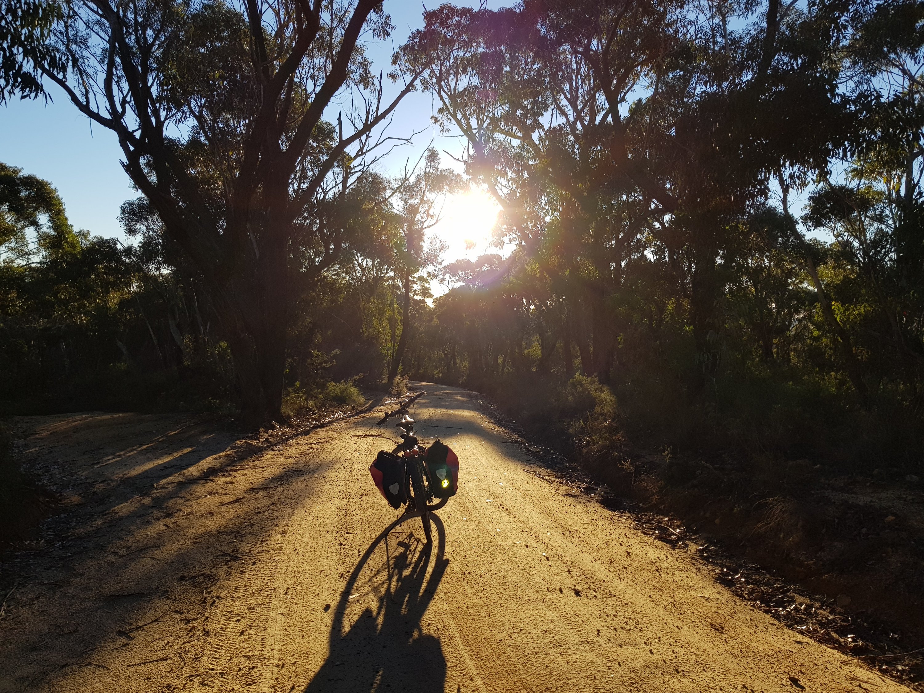
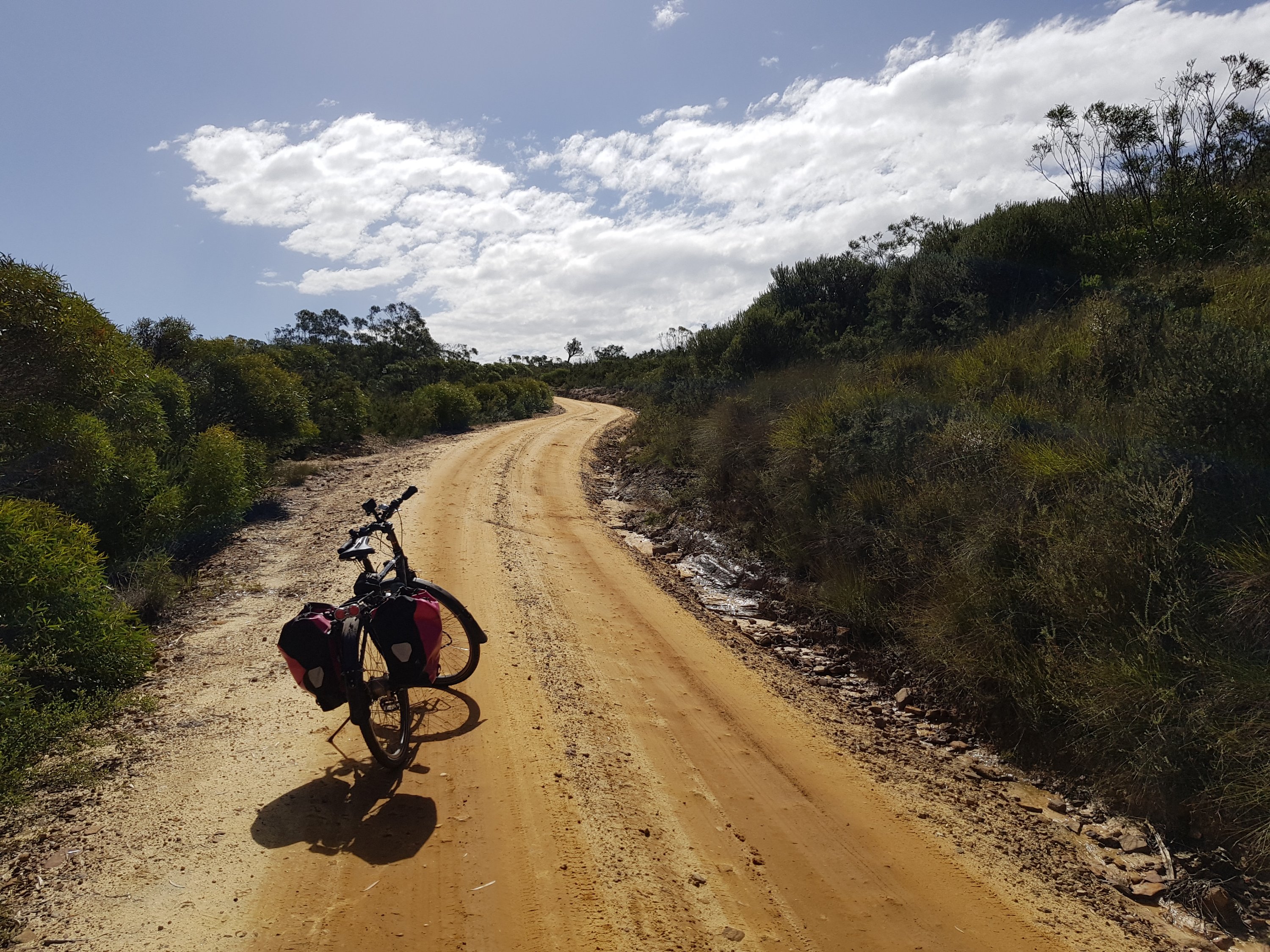
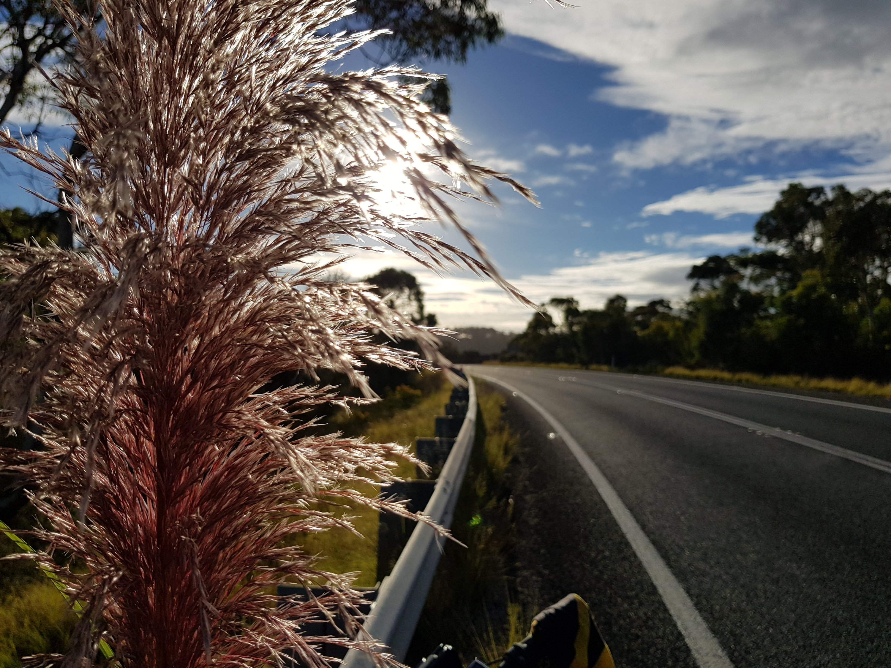
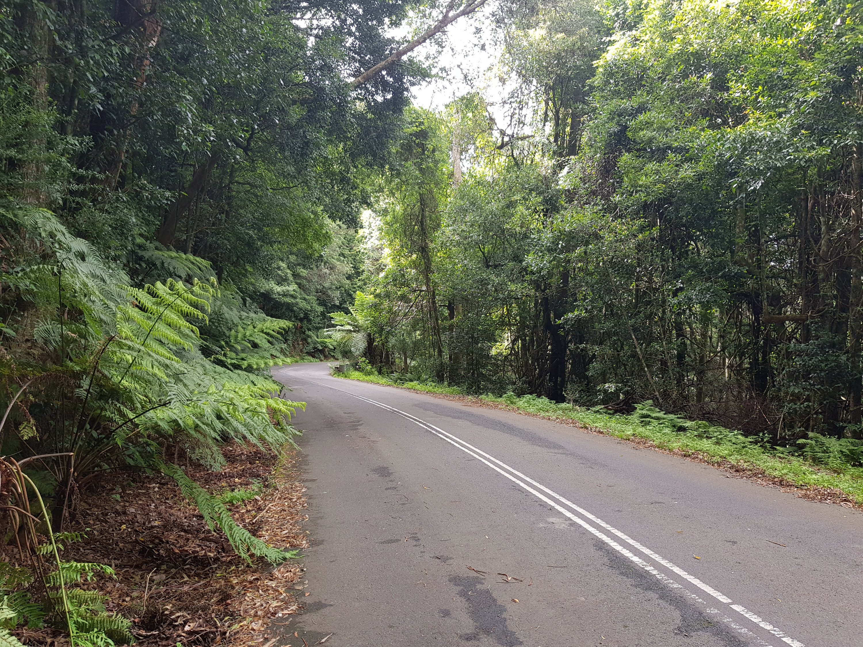
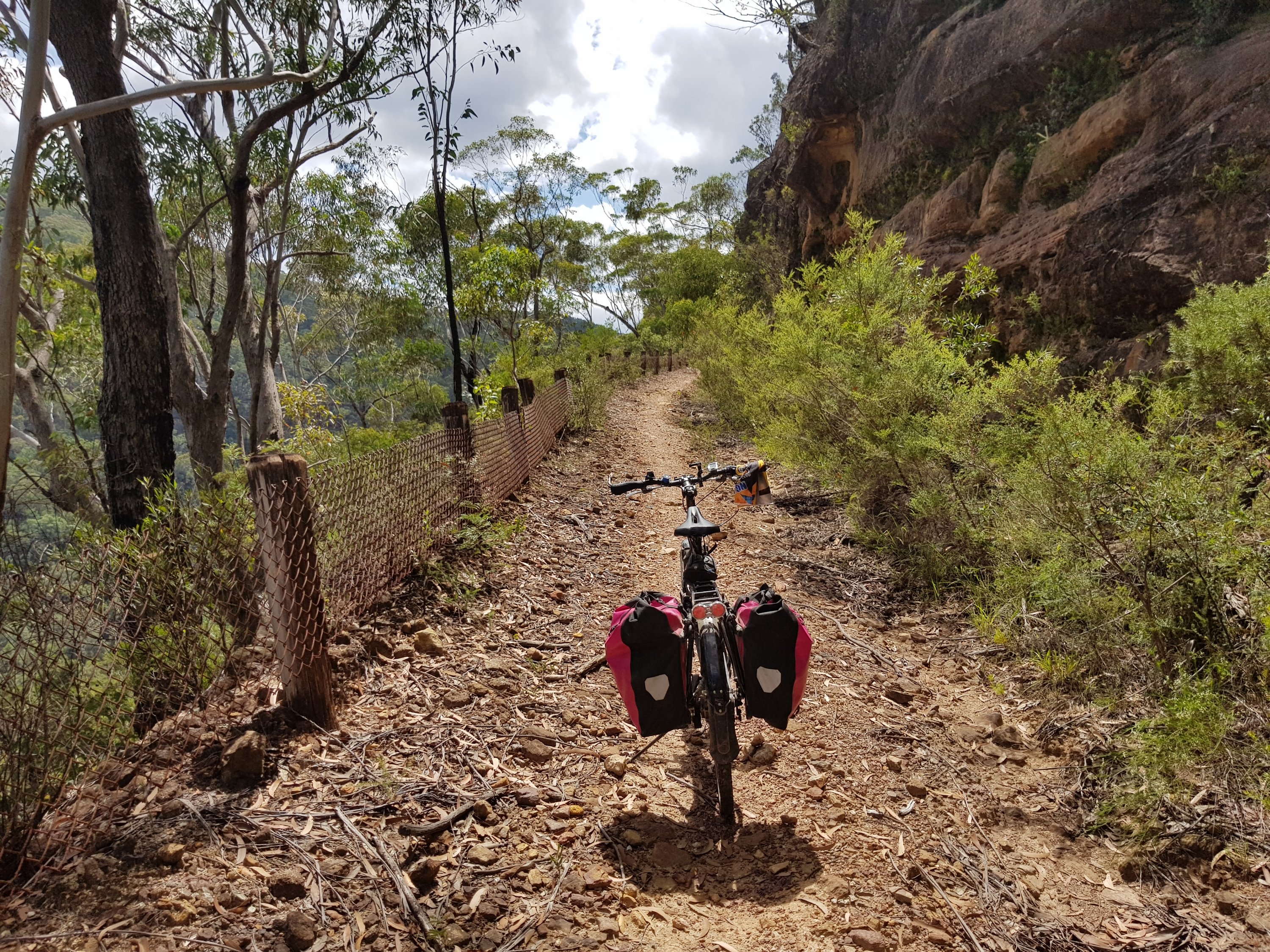
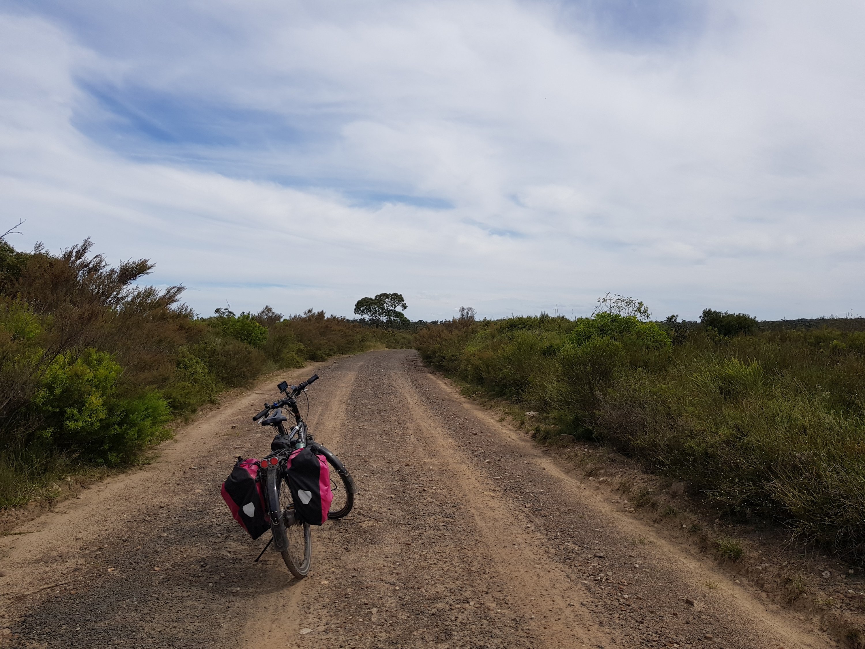
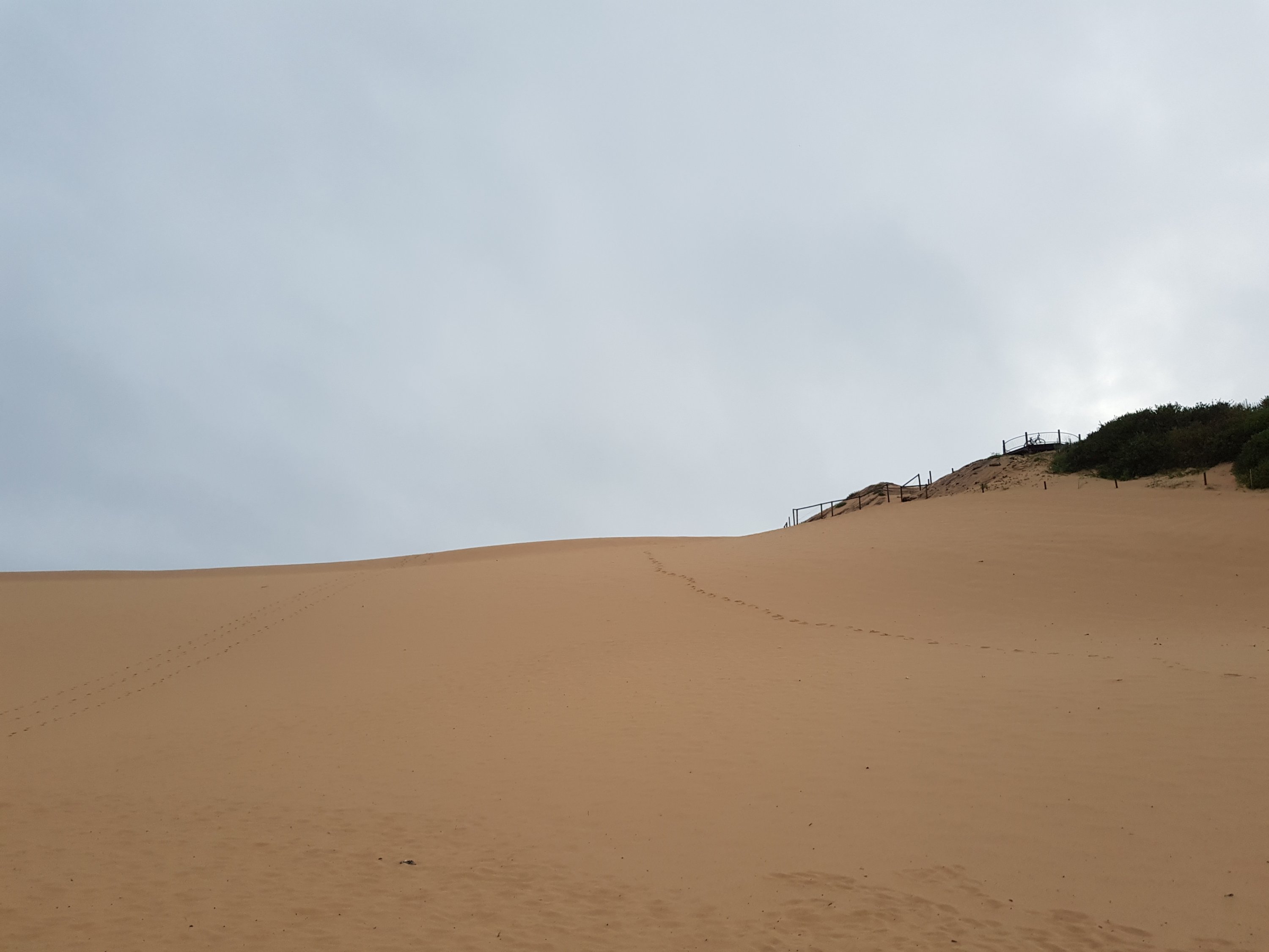
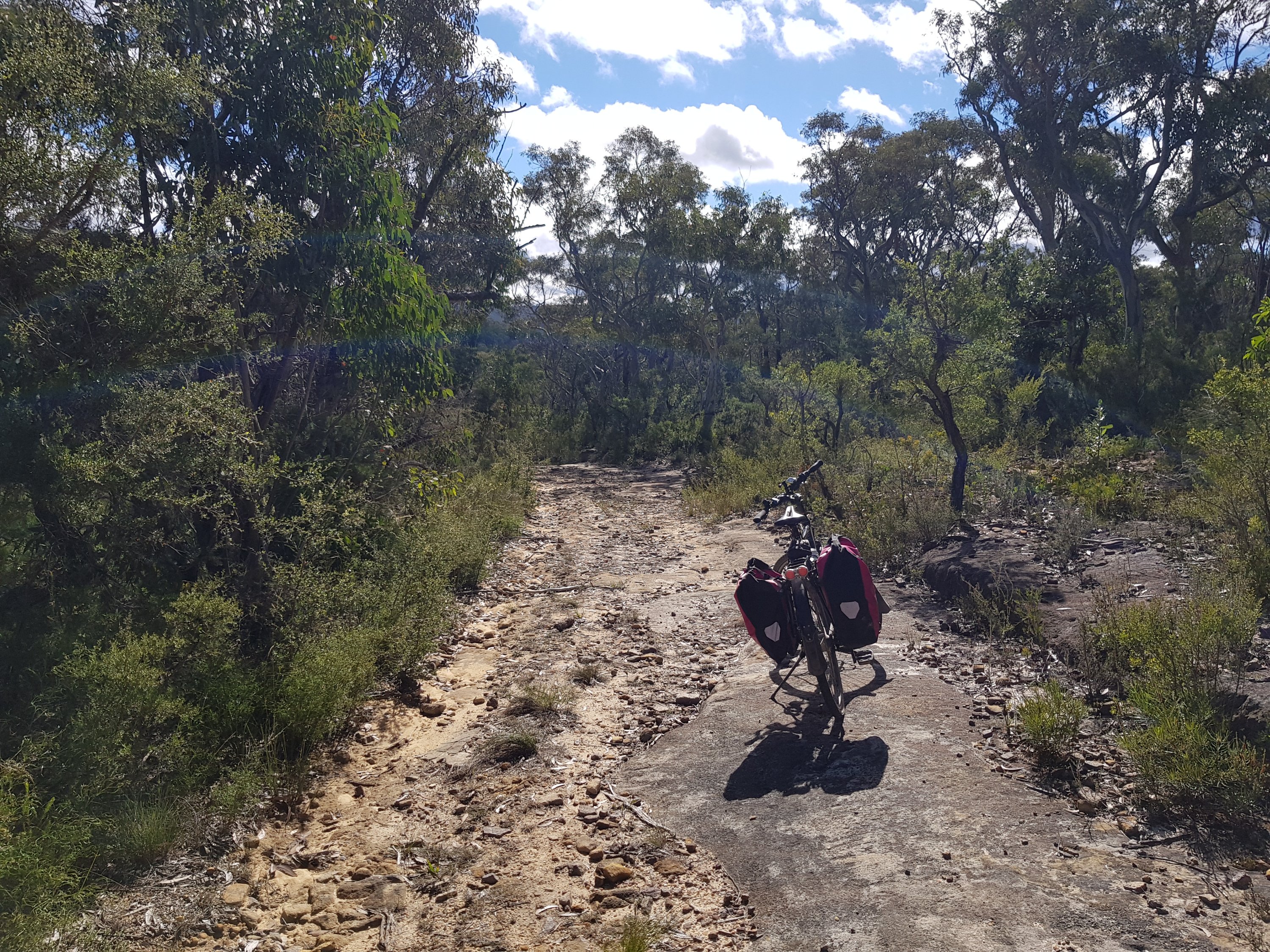
The road to Victoria Falls
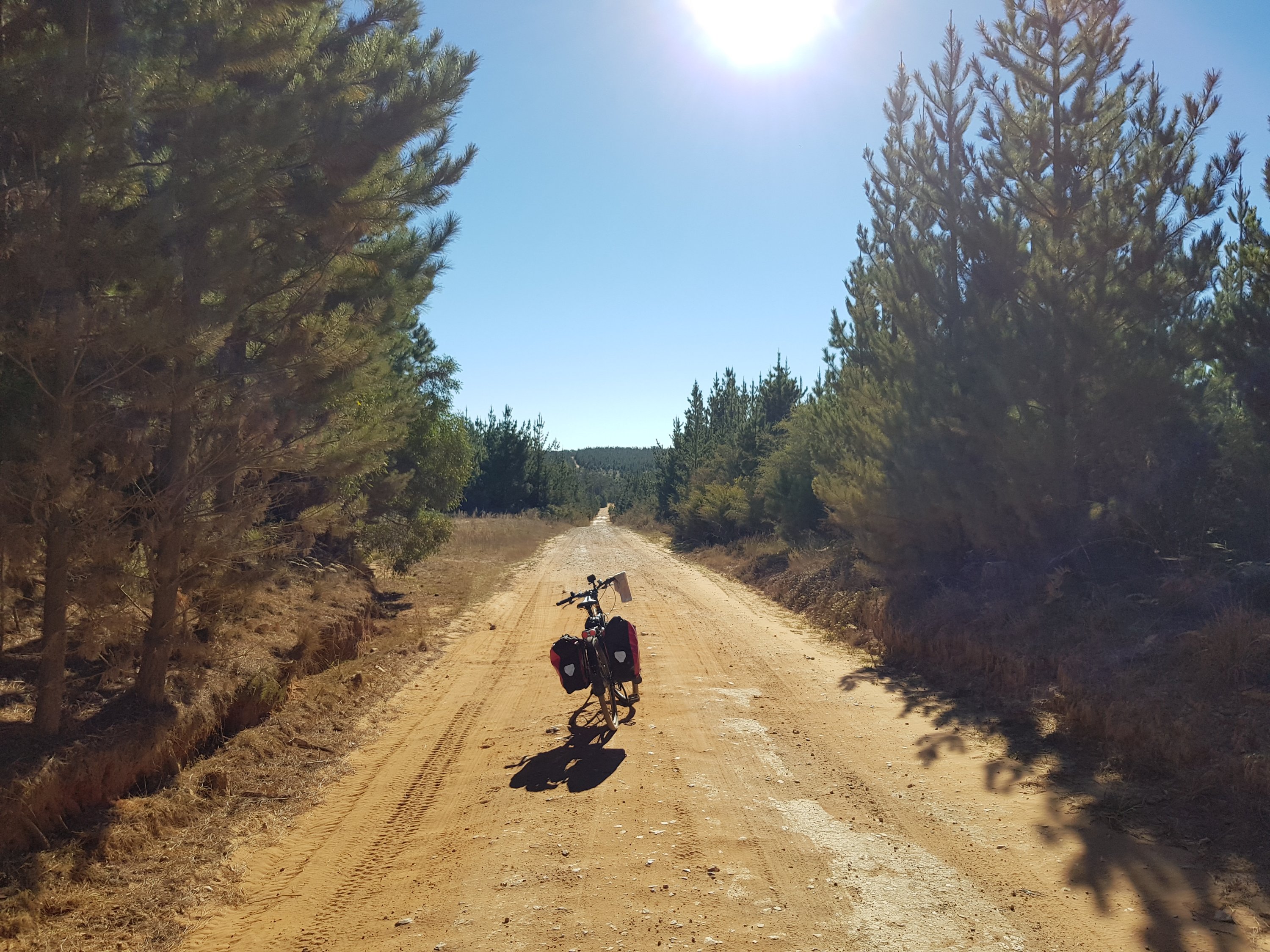
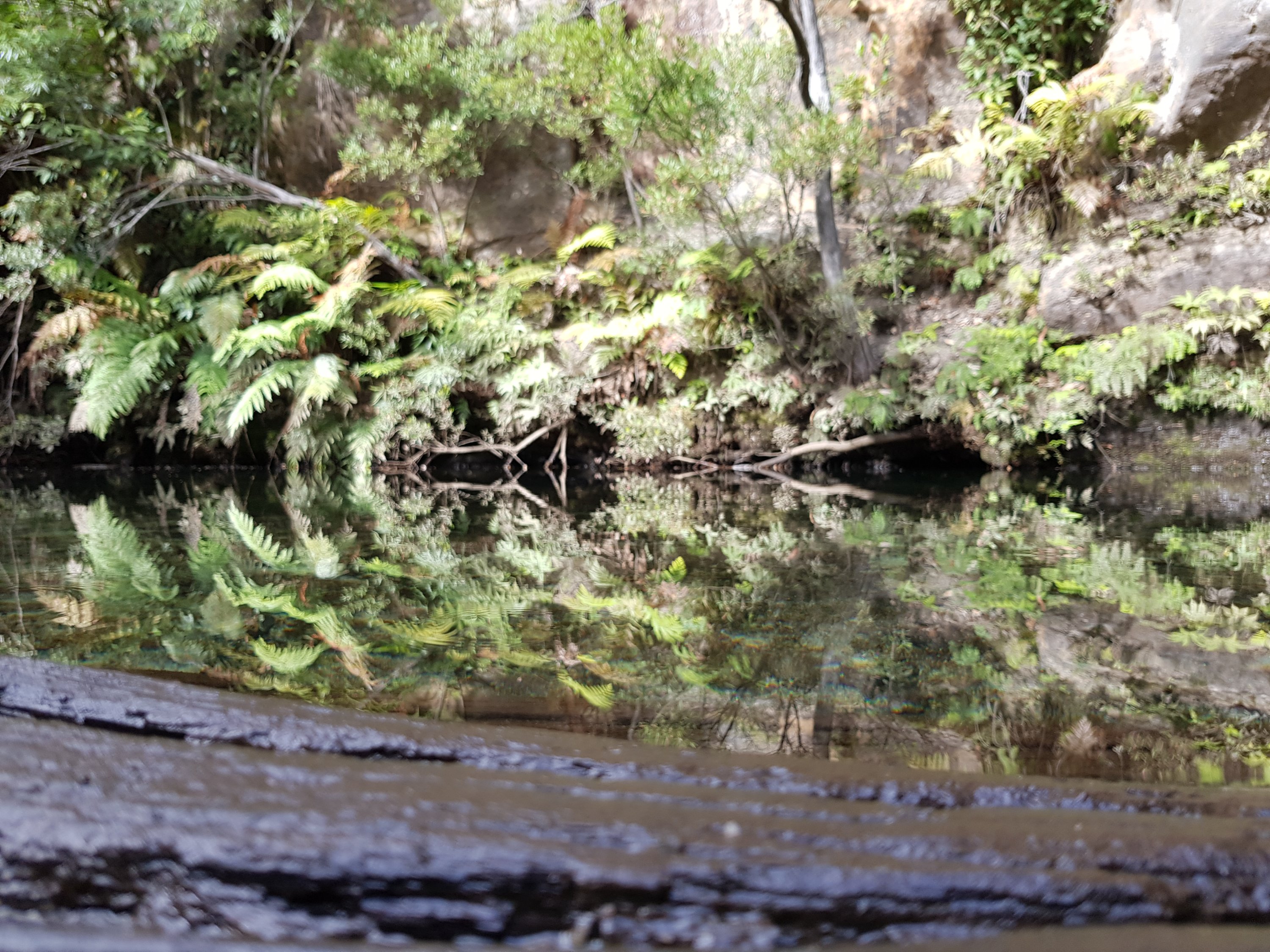
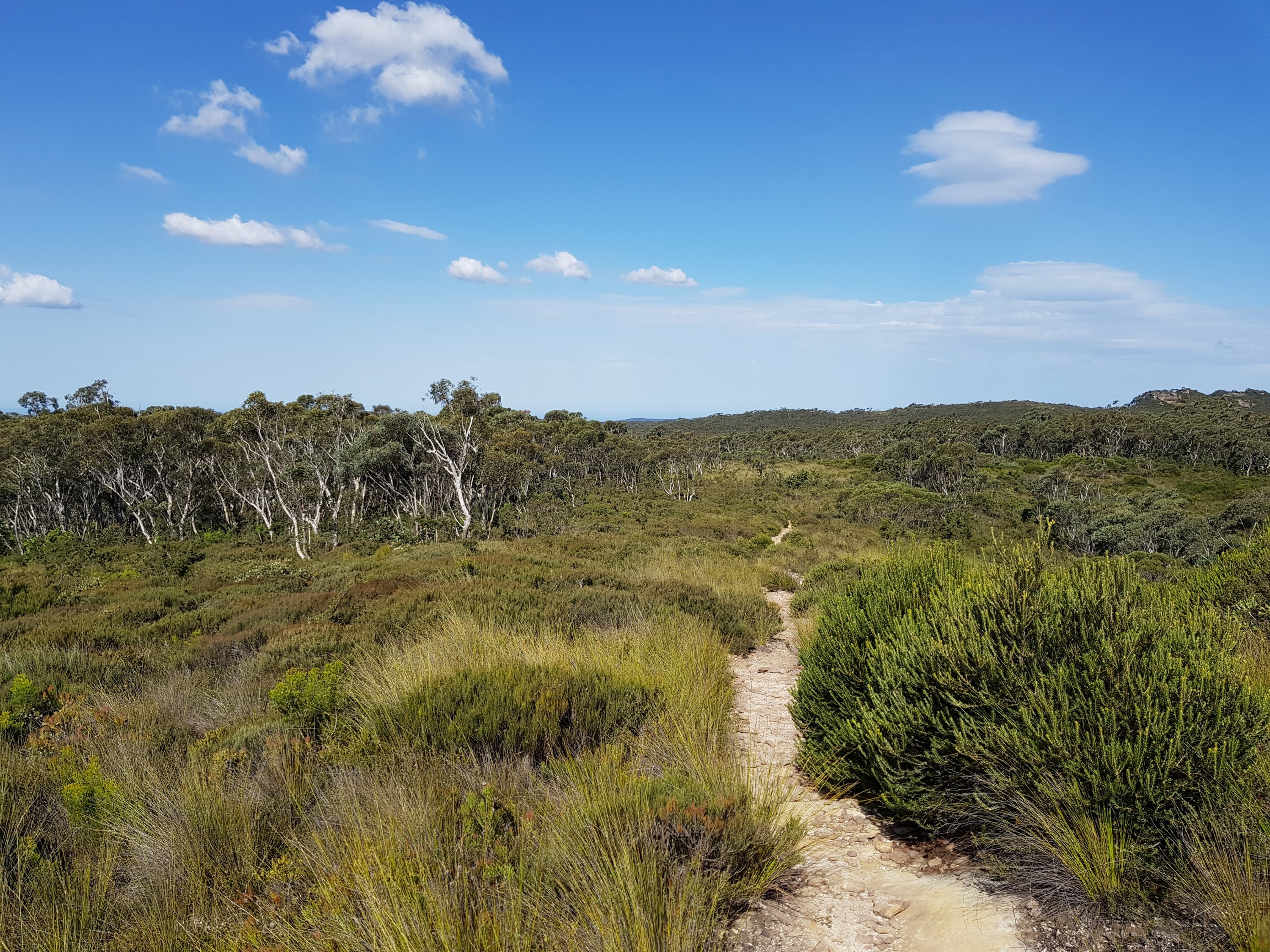
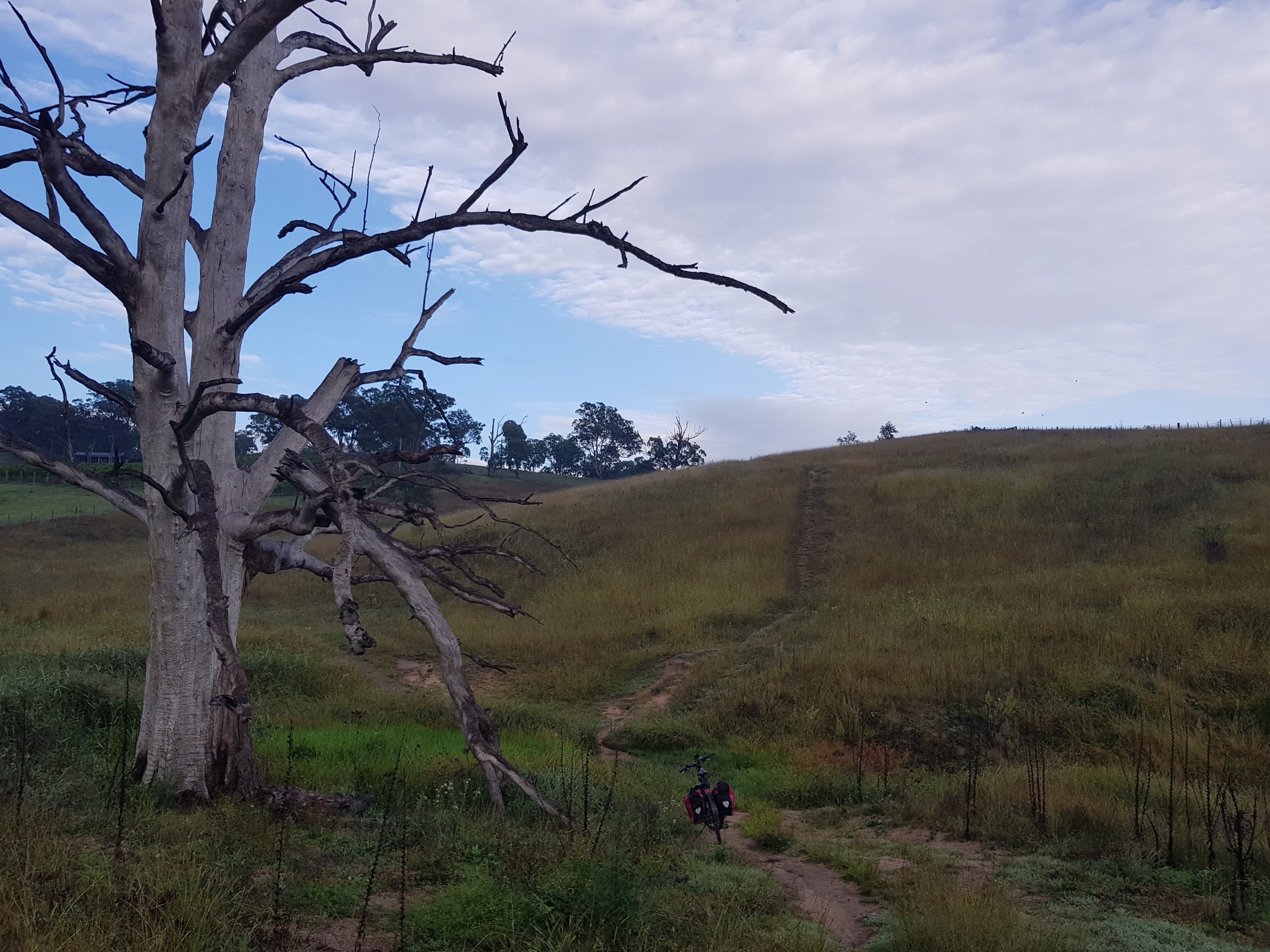
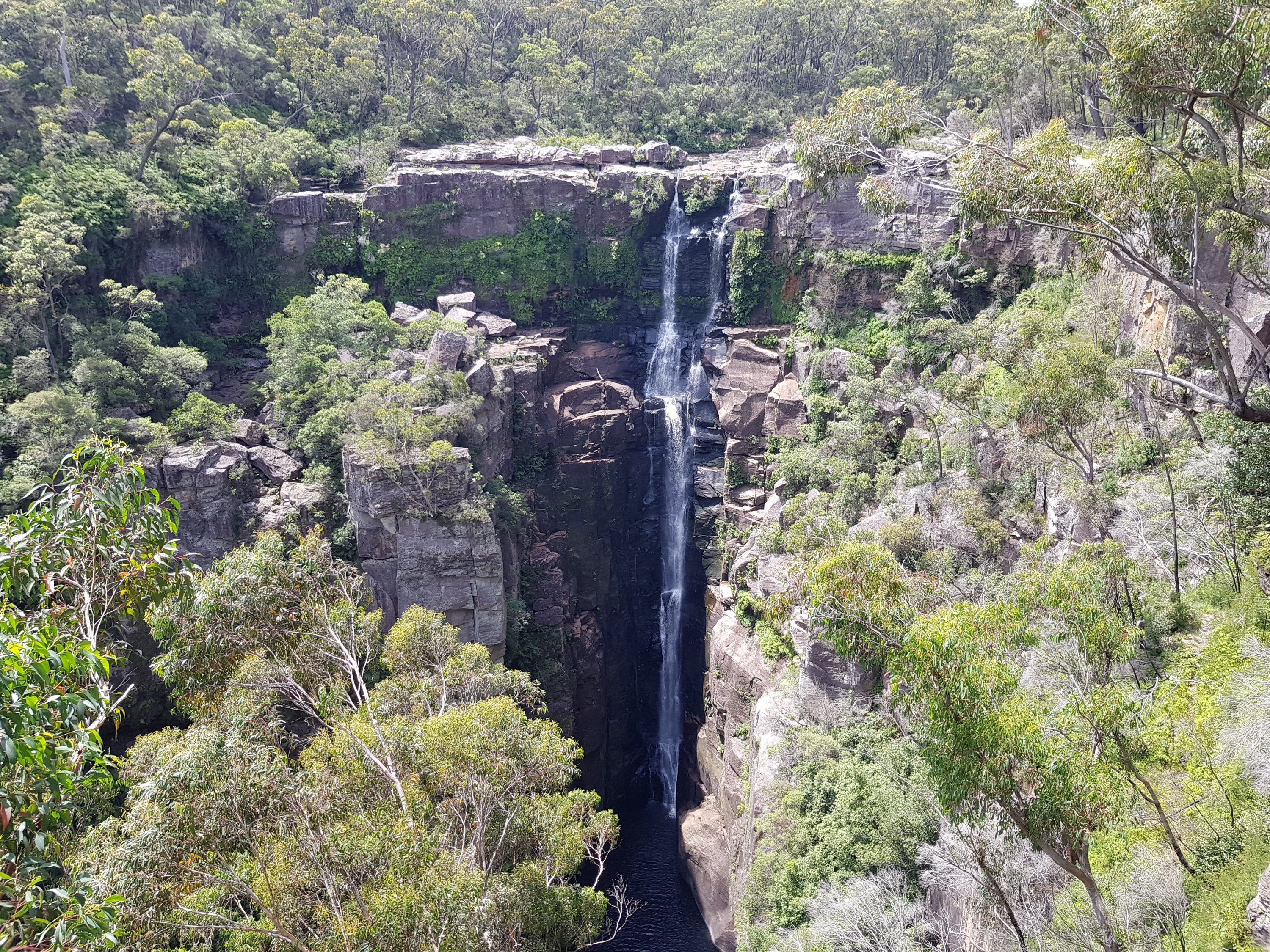
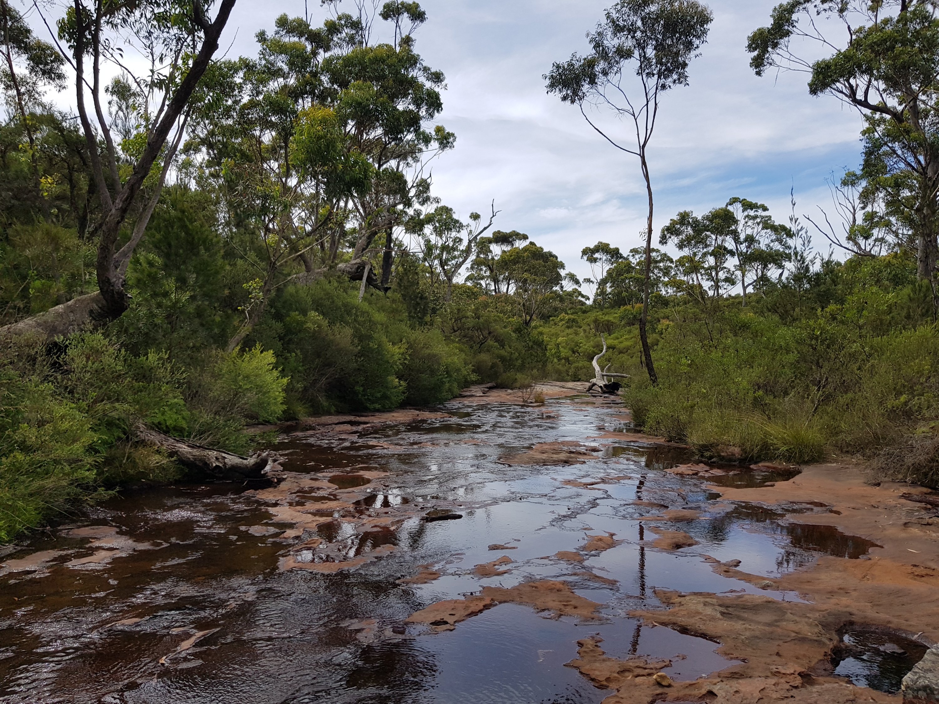
At the end of the road is a path that winds its way down to the cascades, and then the top and bottom of Victoria Falls.
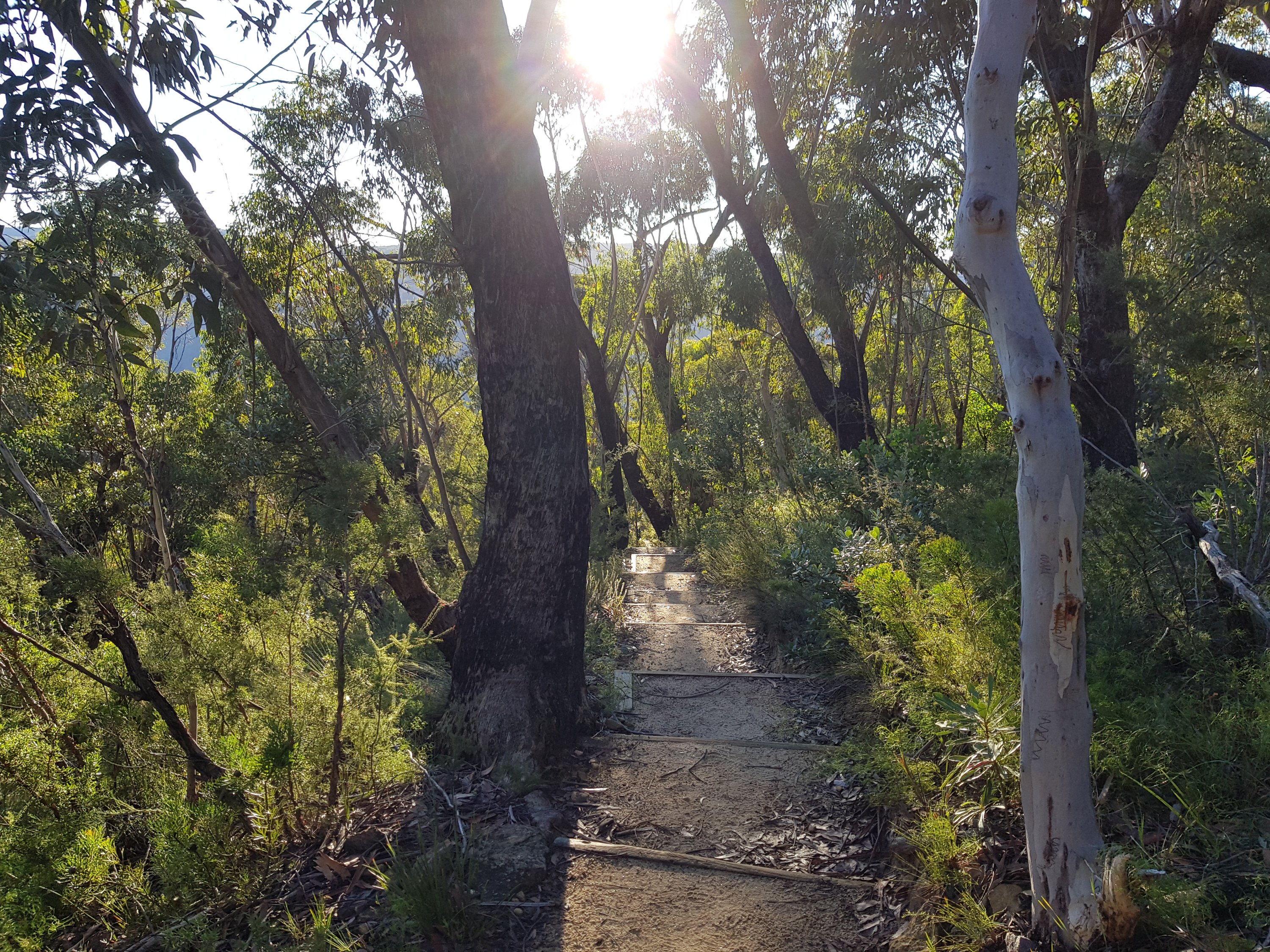
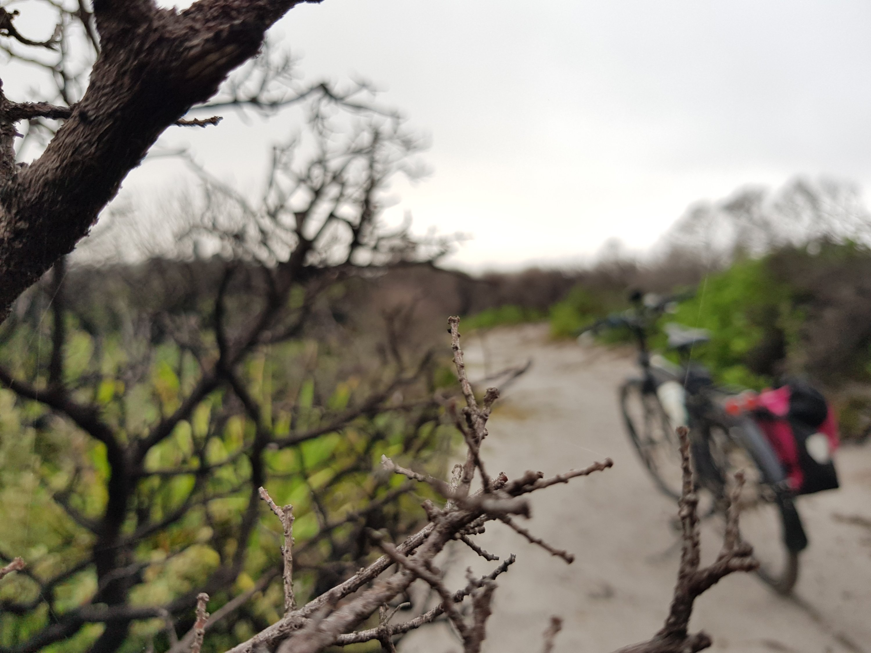
The path to Victoria Falls
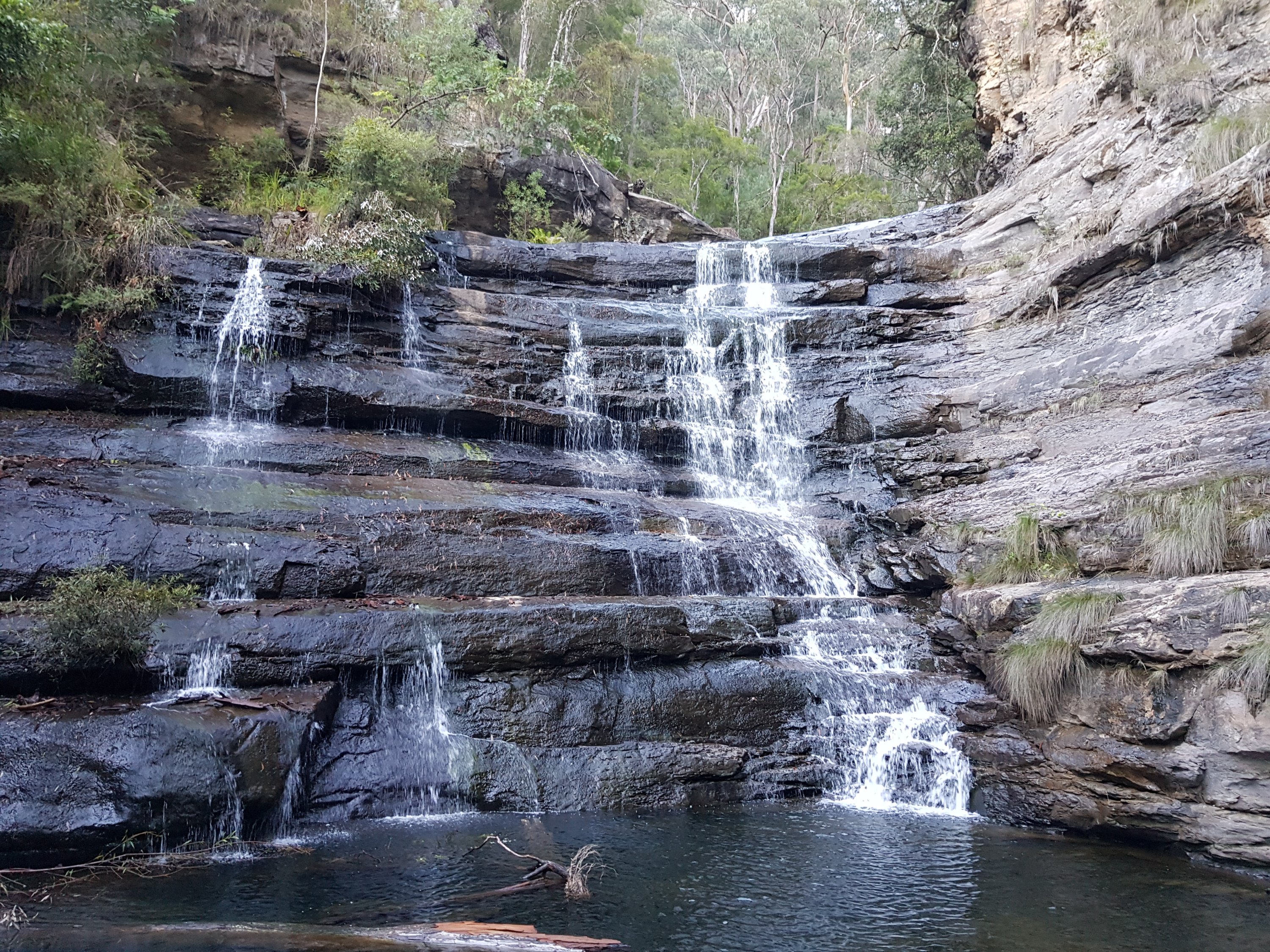
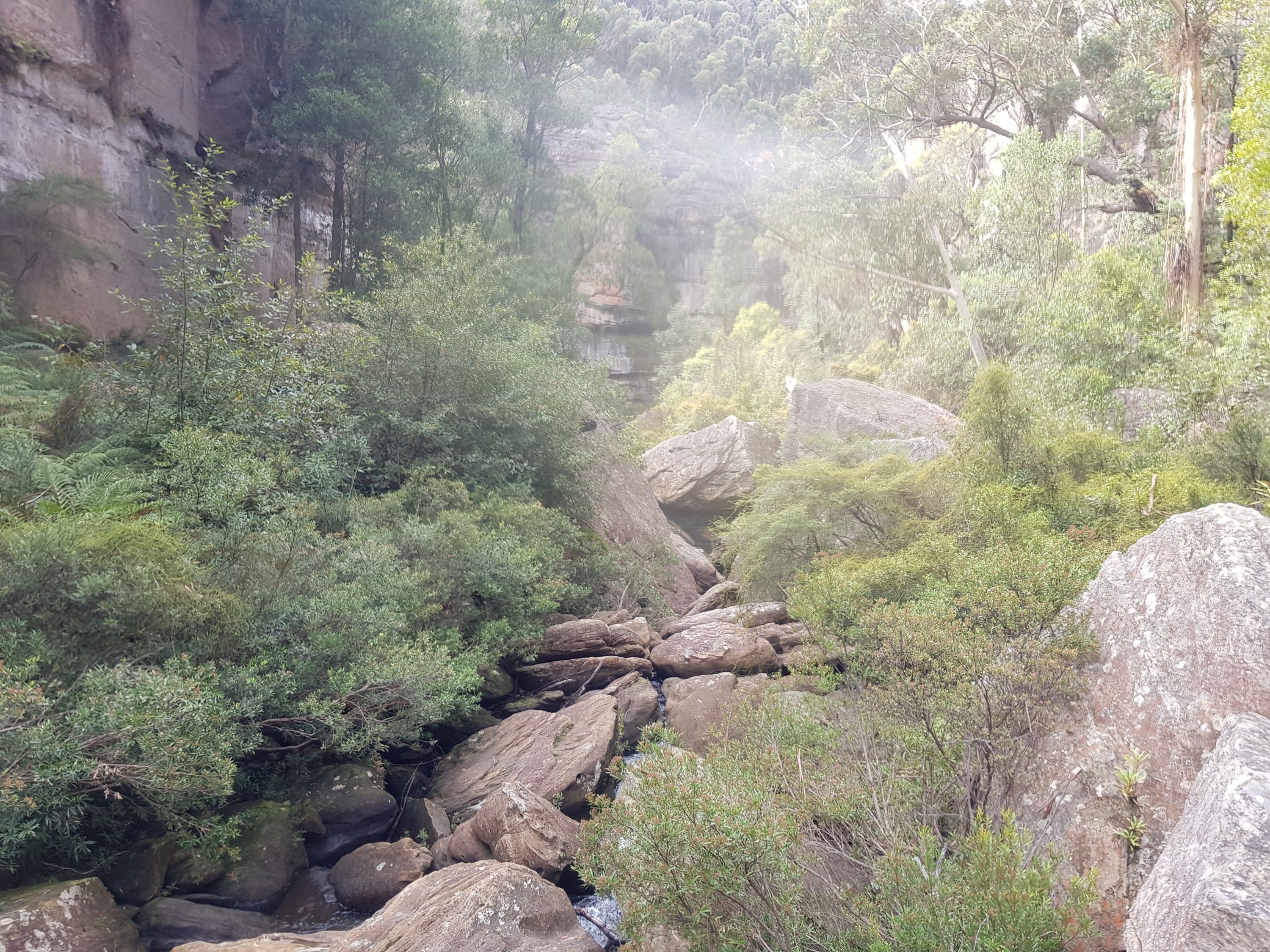
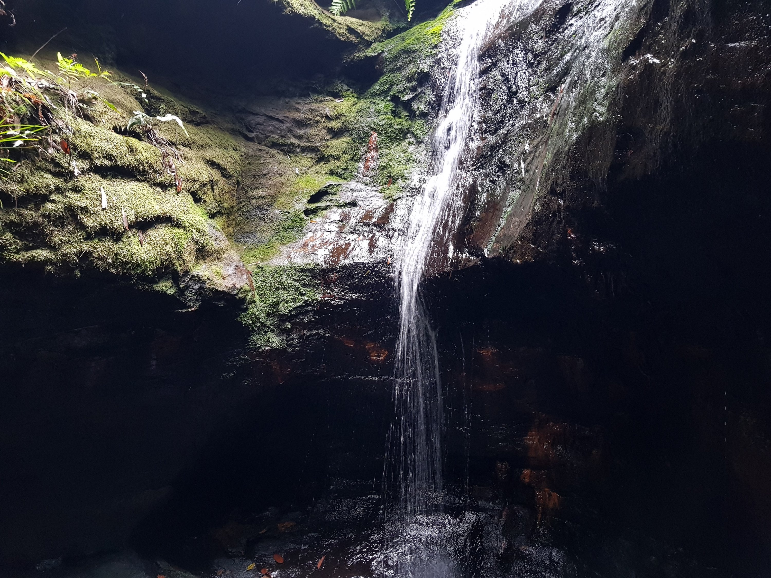
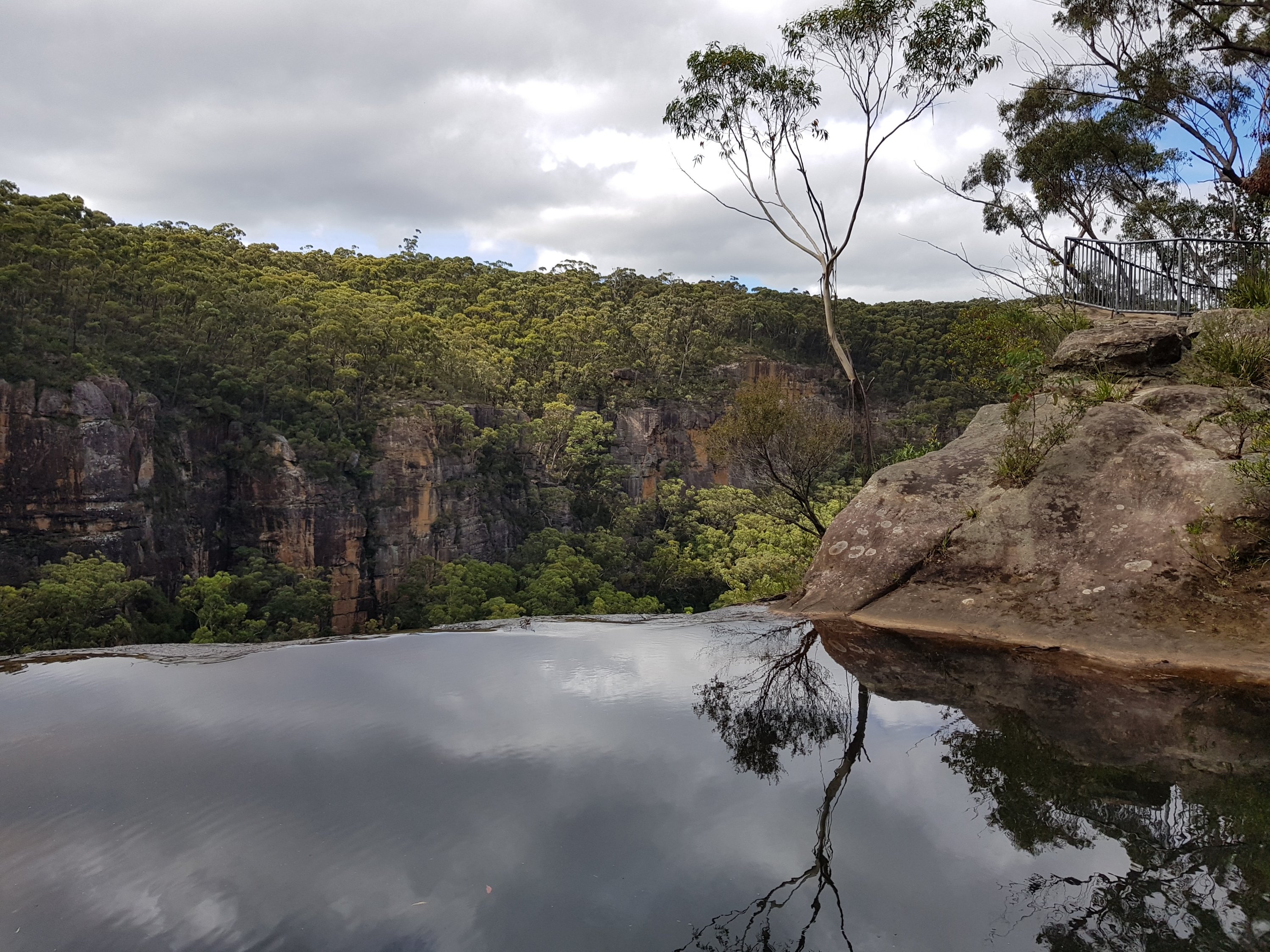
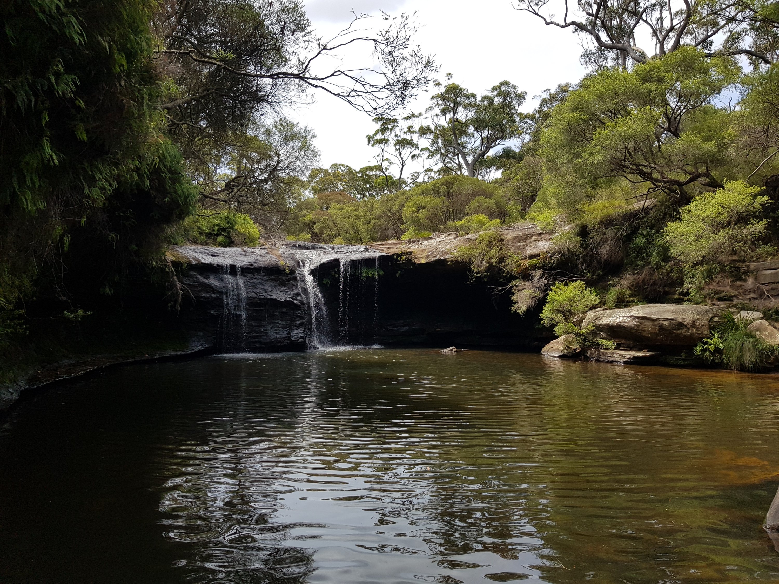
The cascades
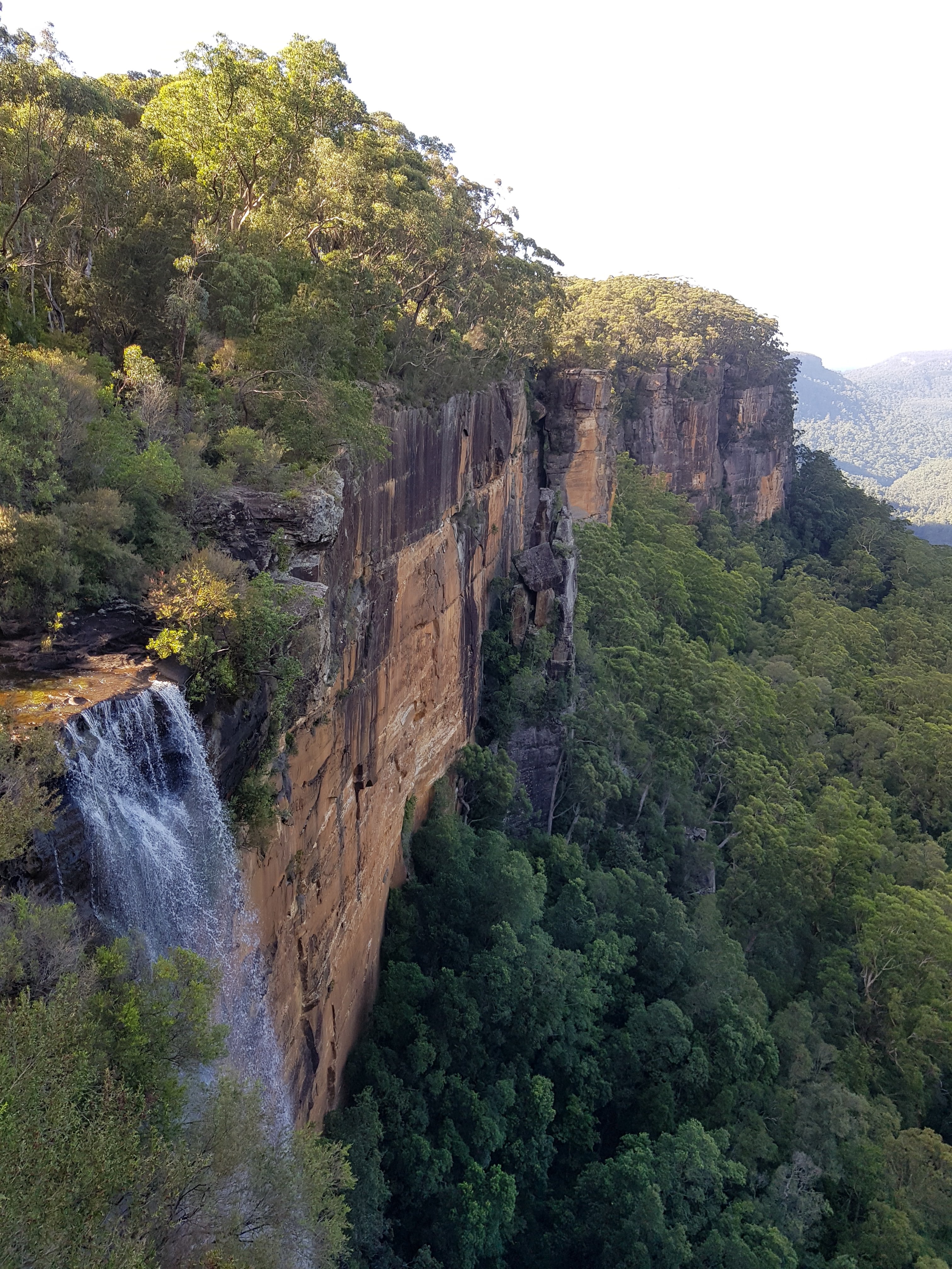
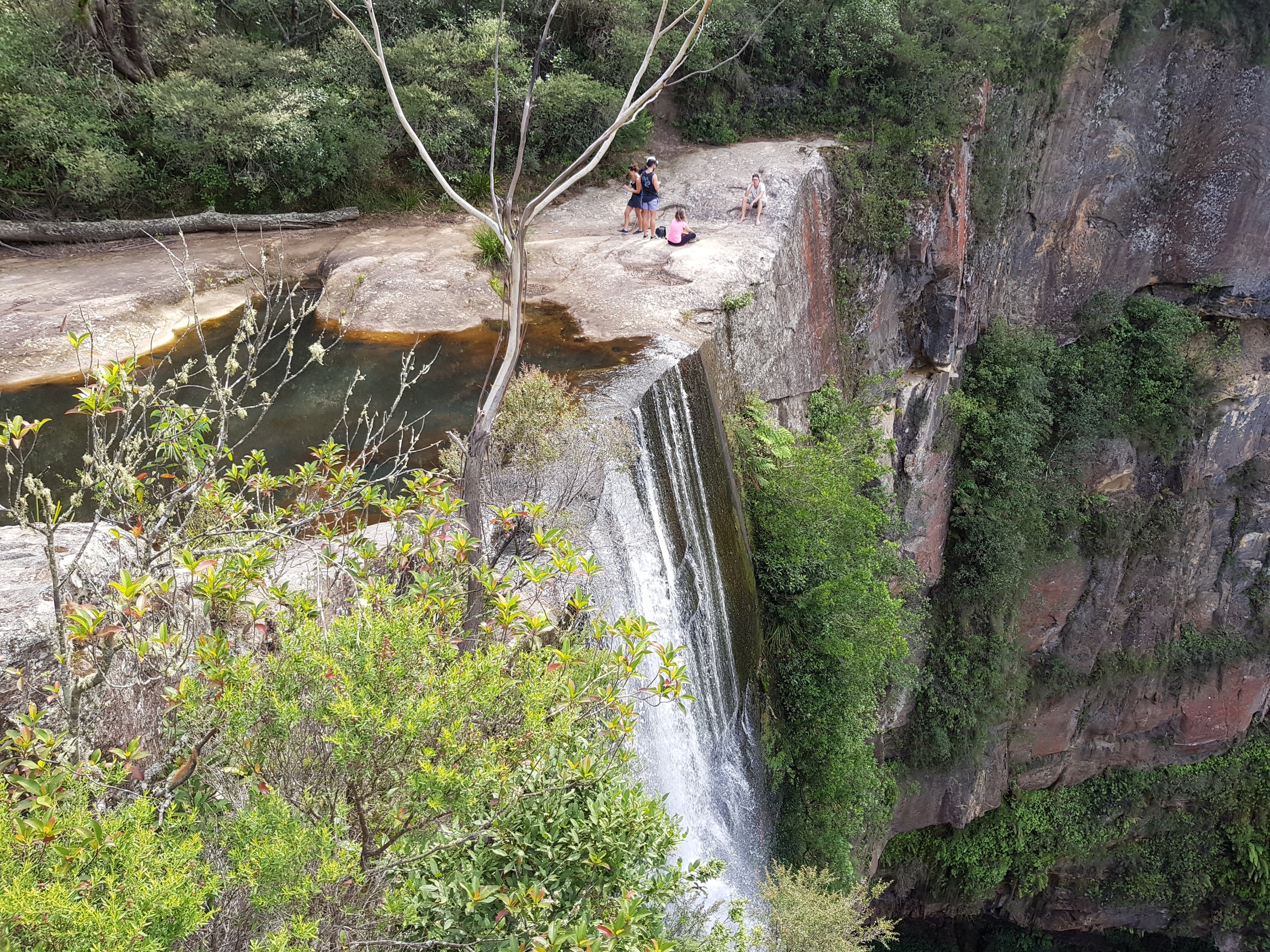
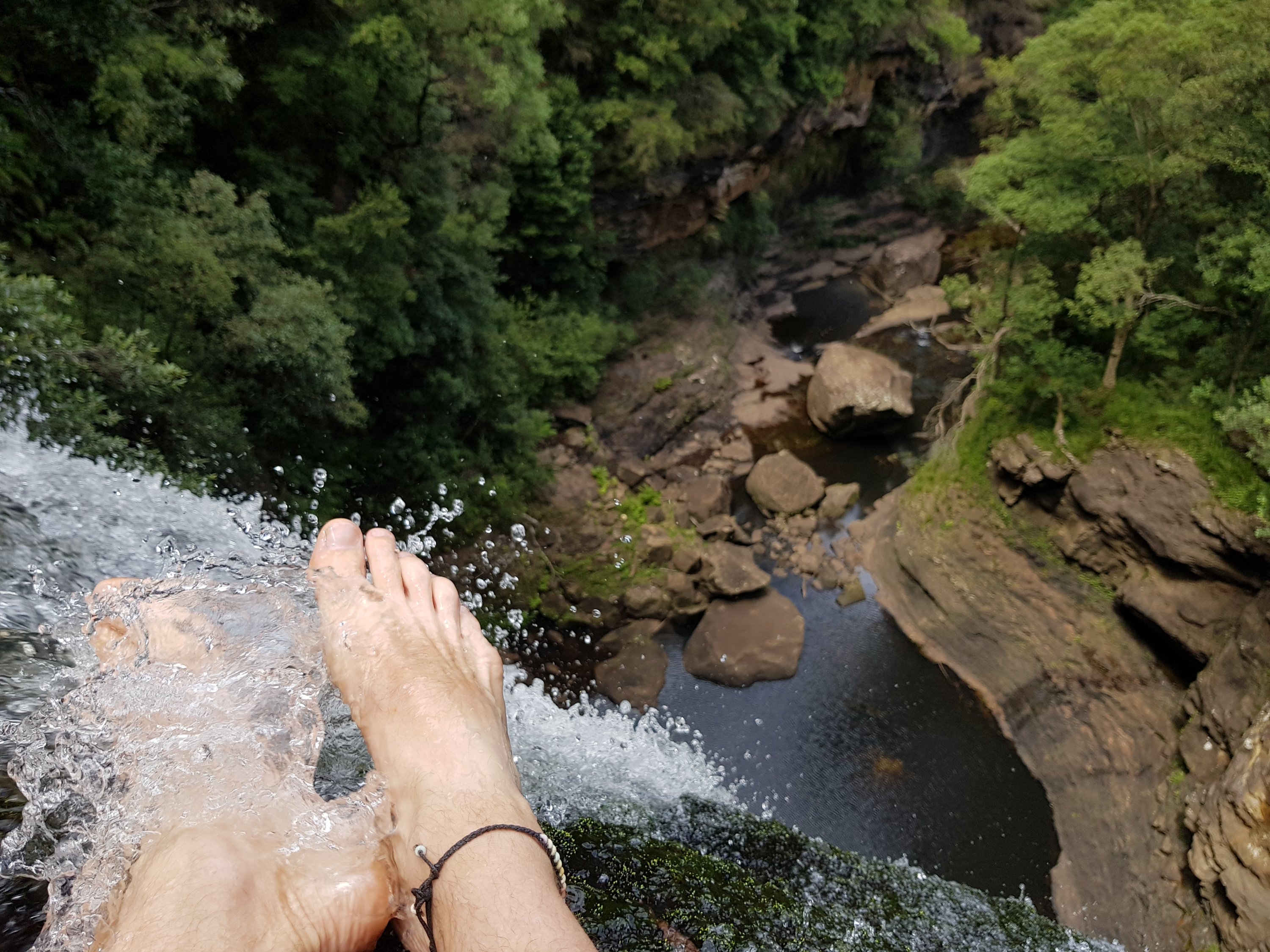
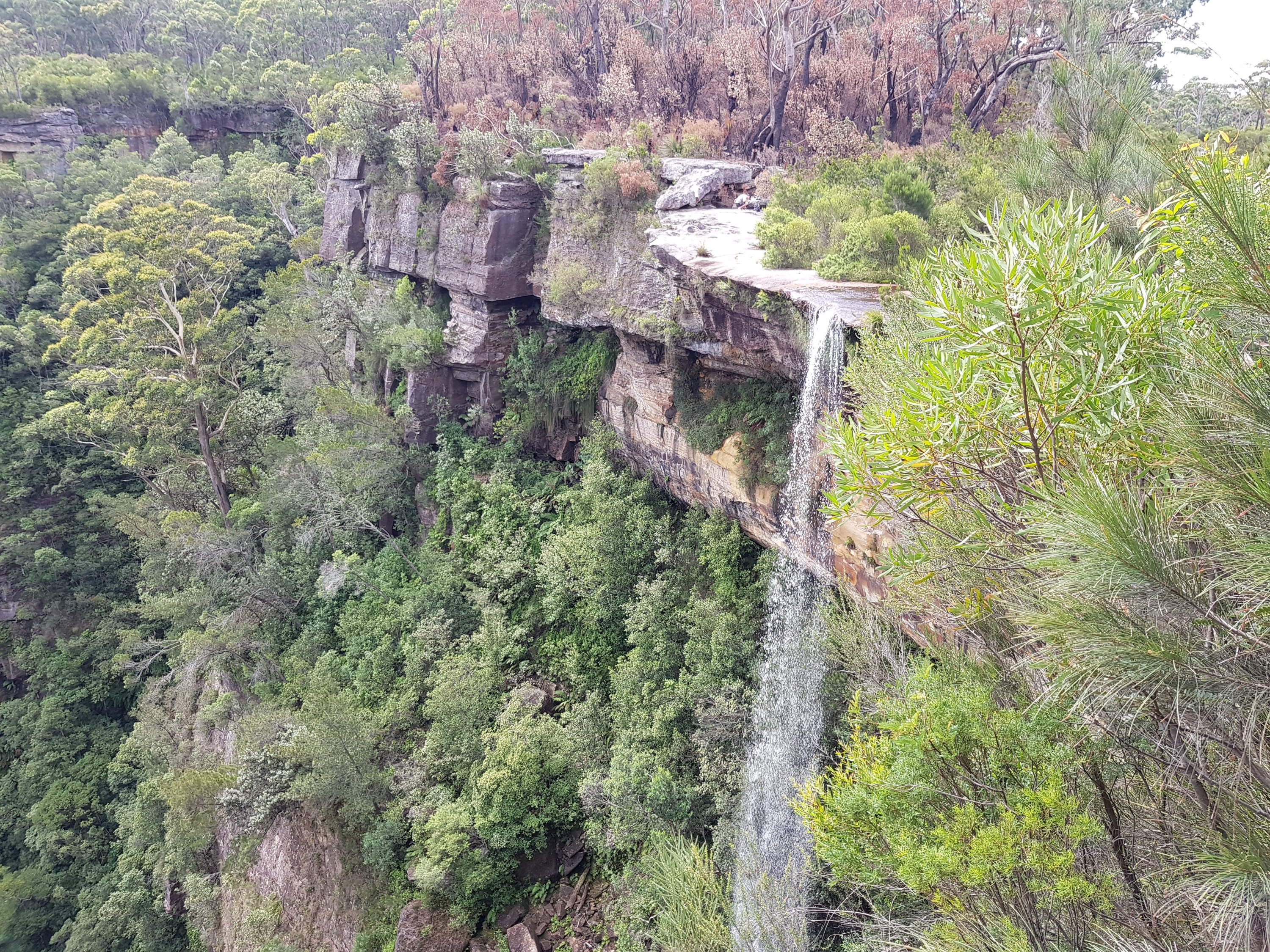
The top of Victoria Falls
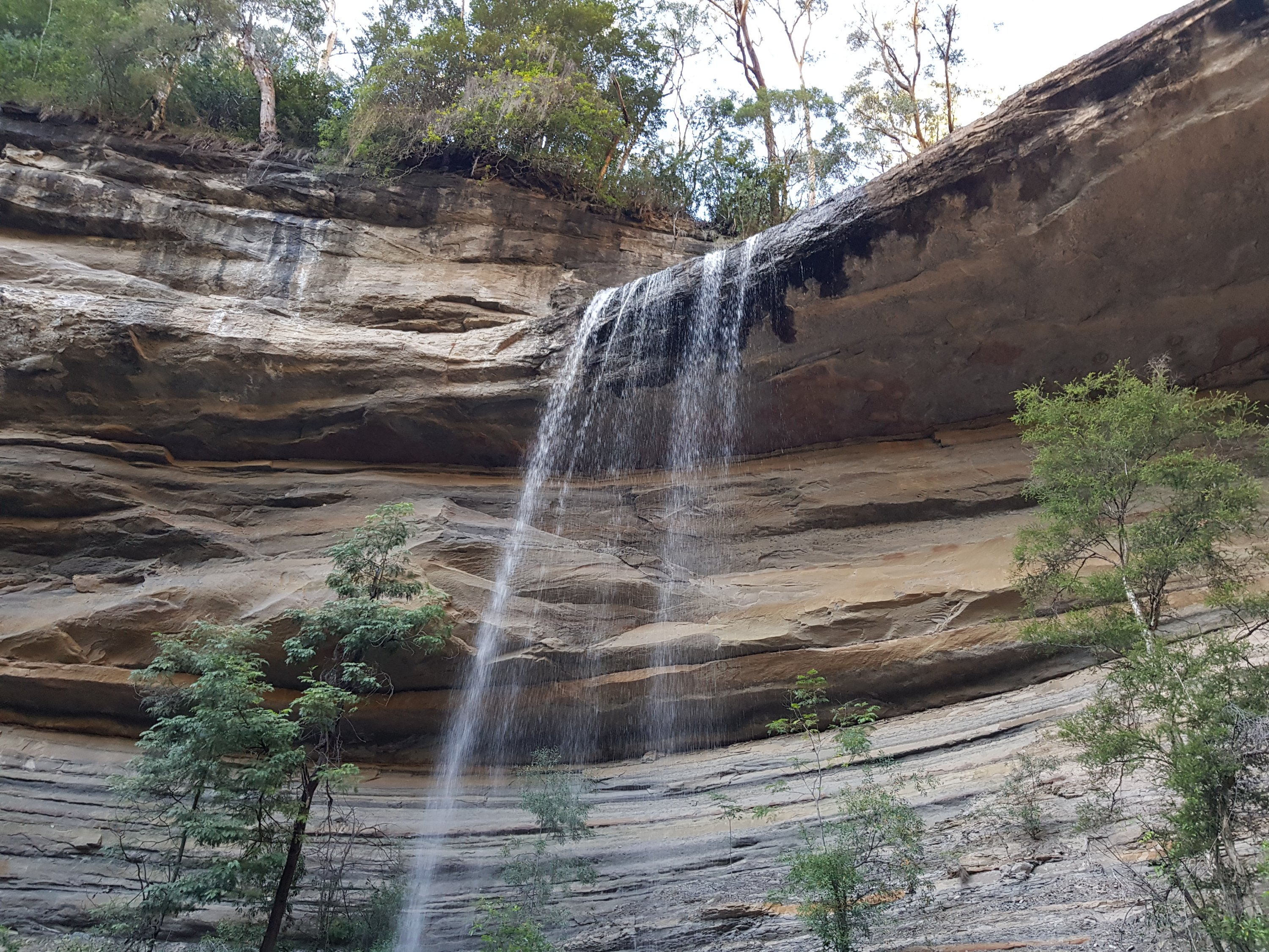
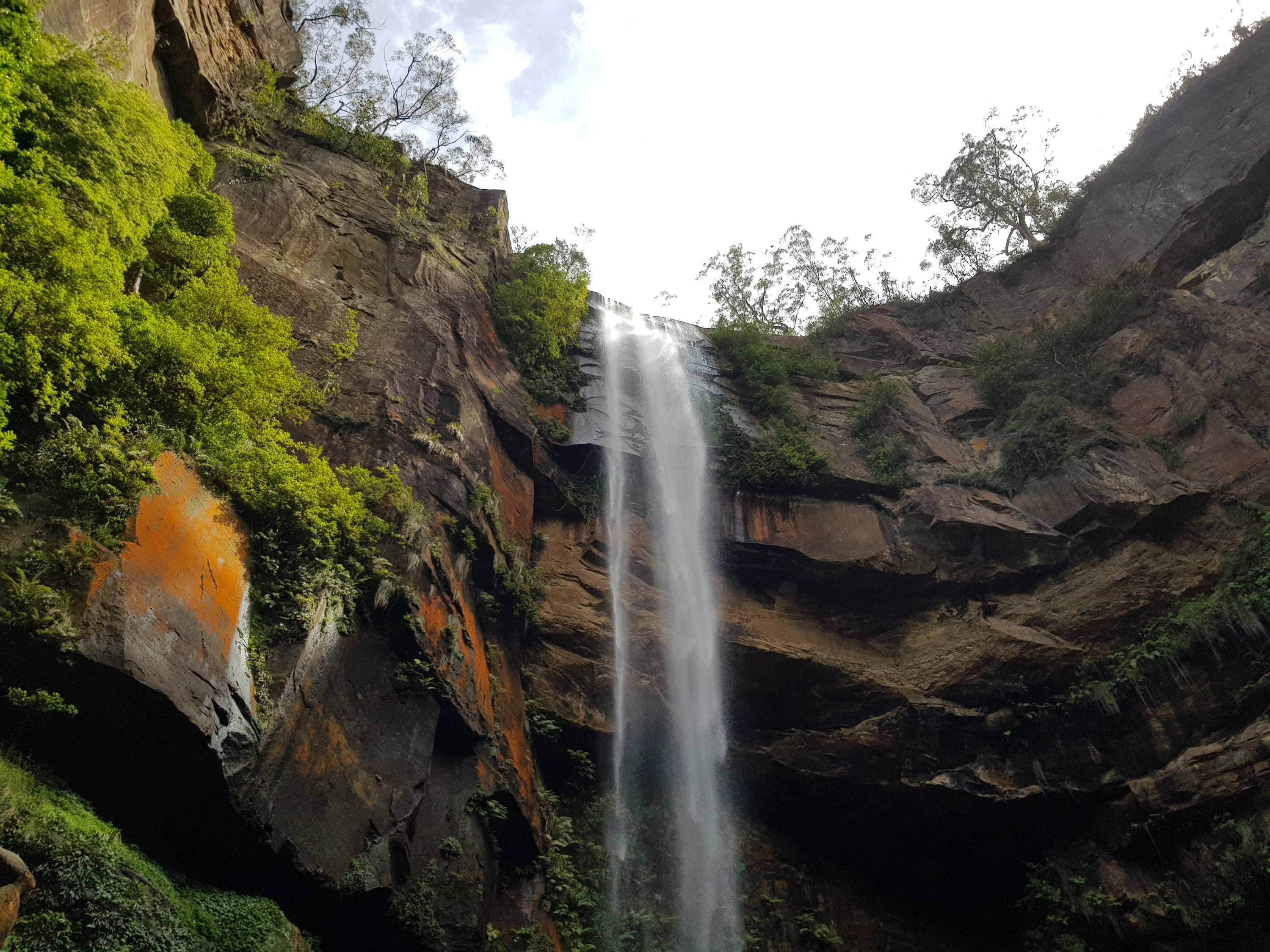
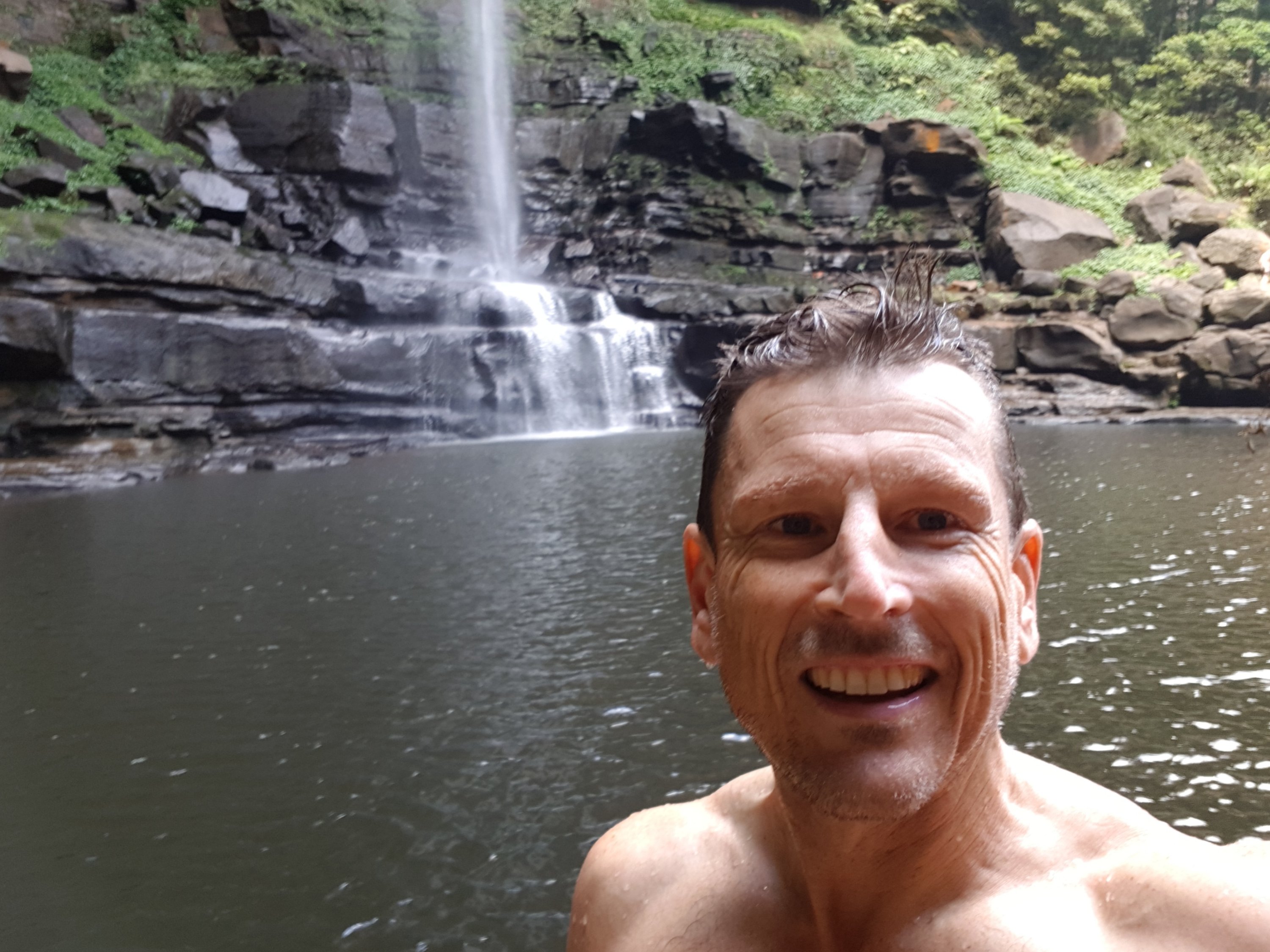
Victoria Falls
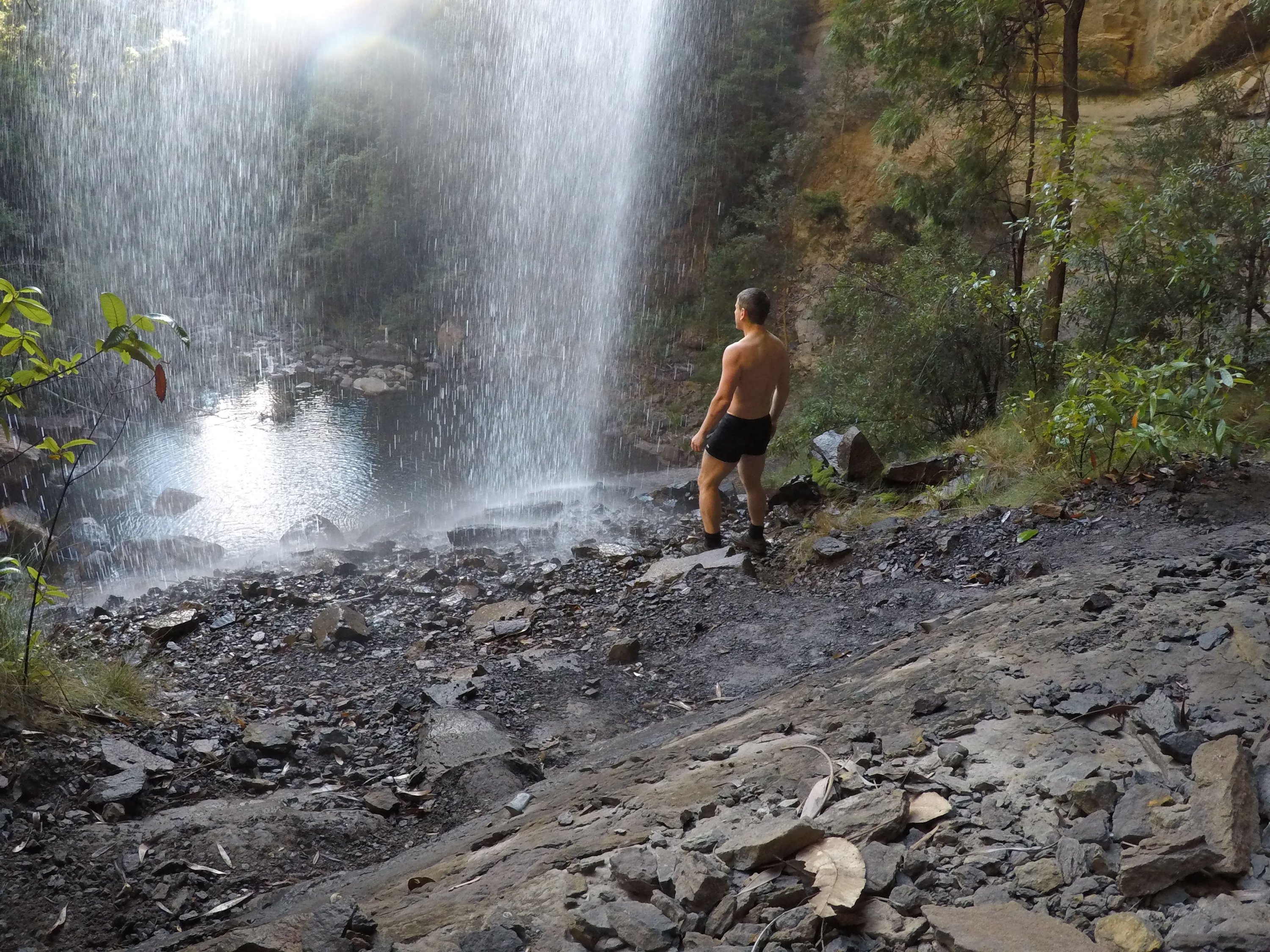
Victoria Falls
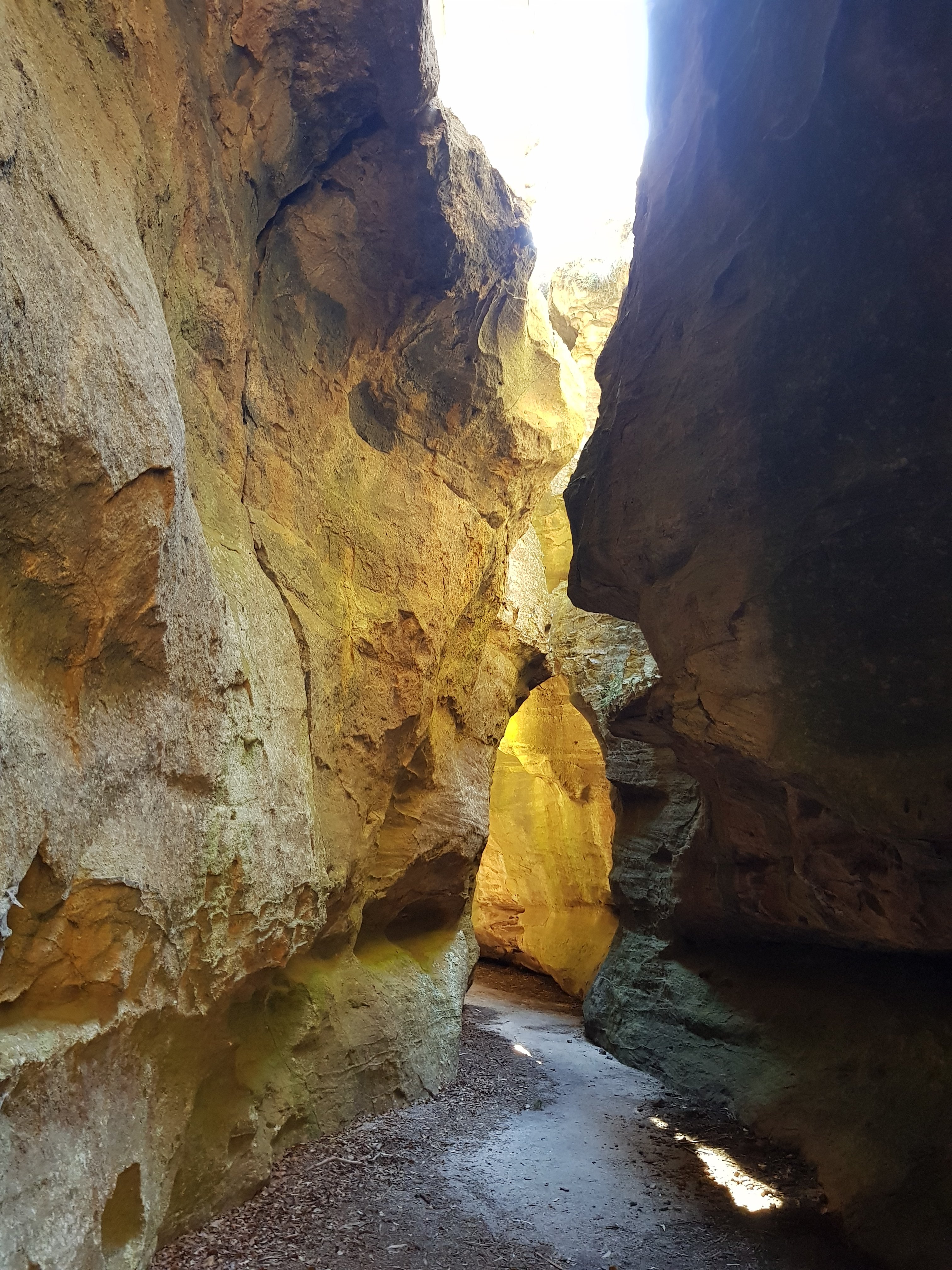
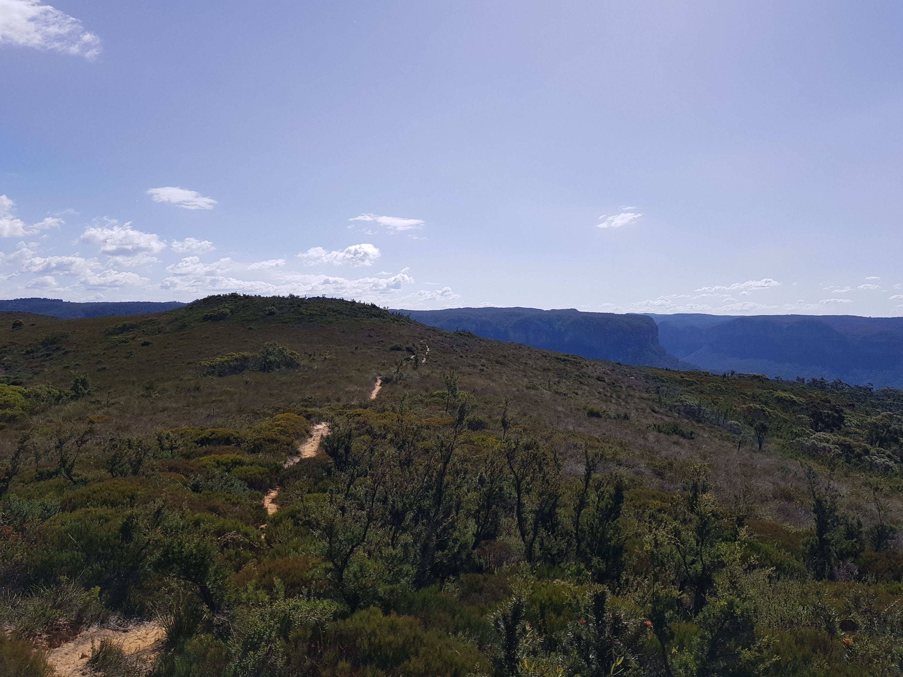
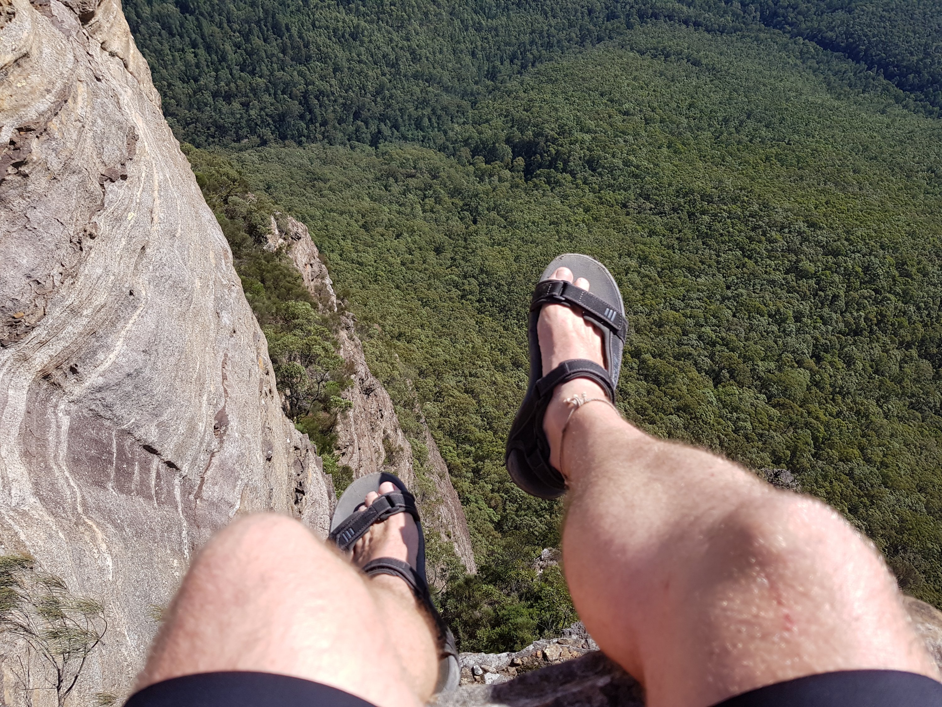
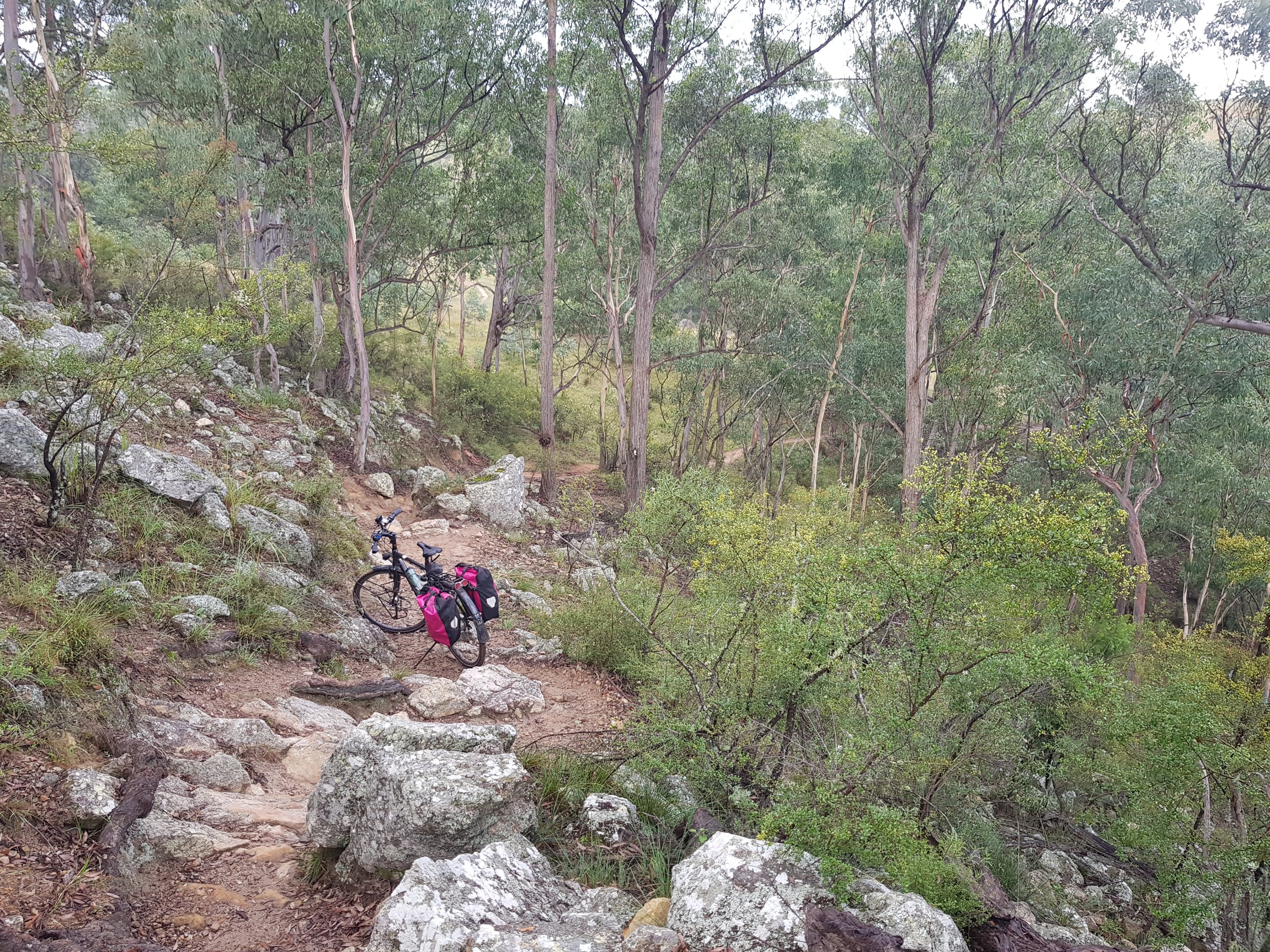
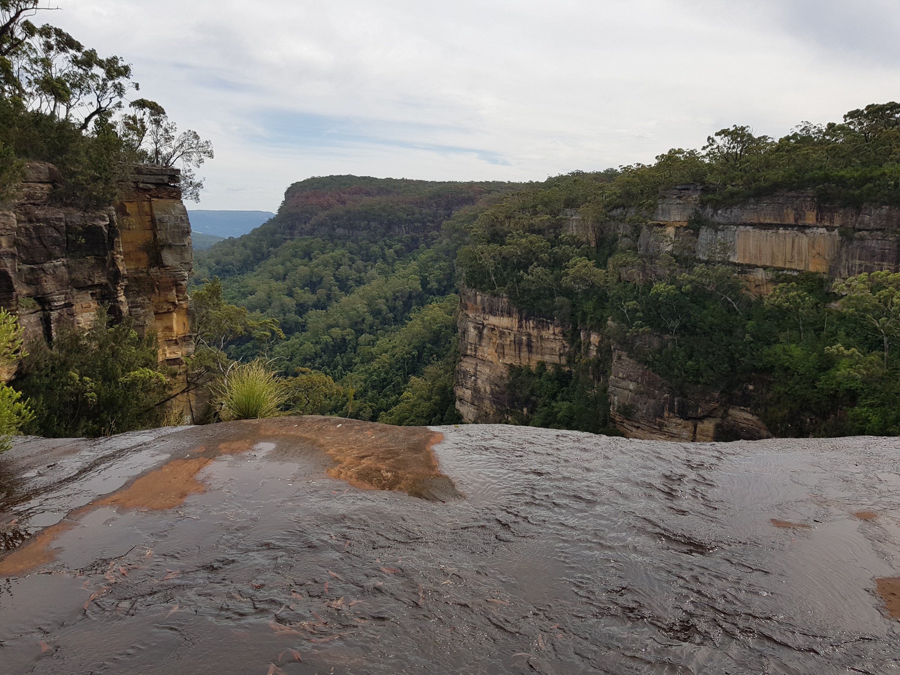
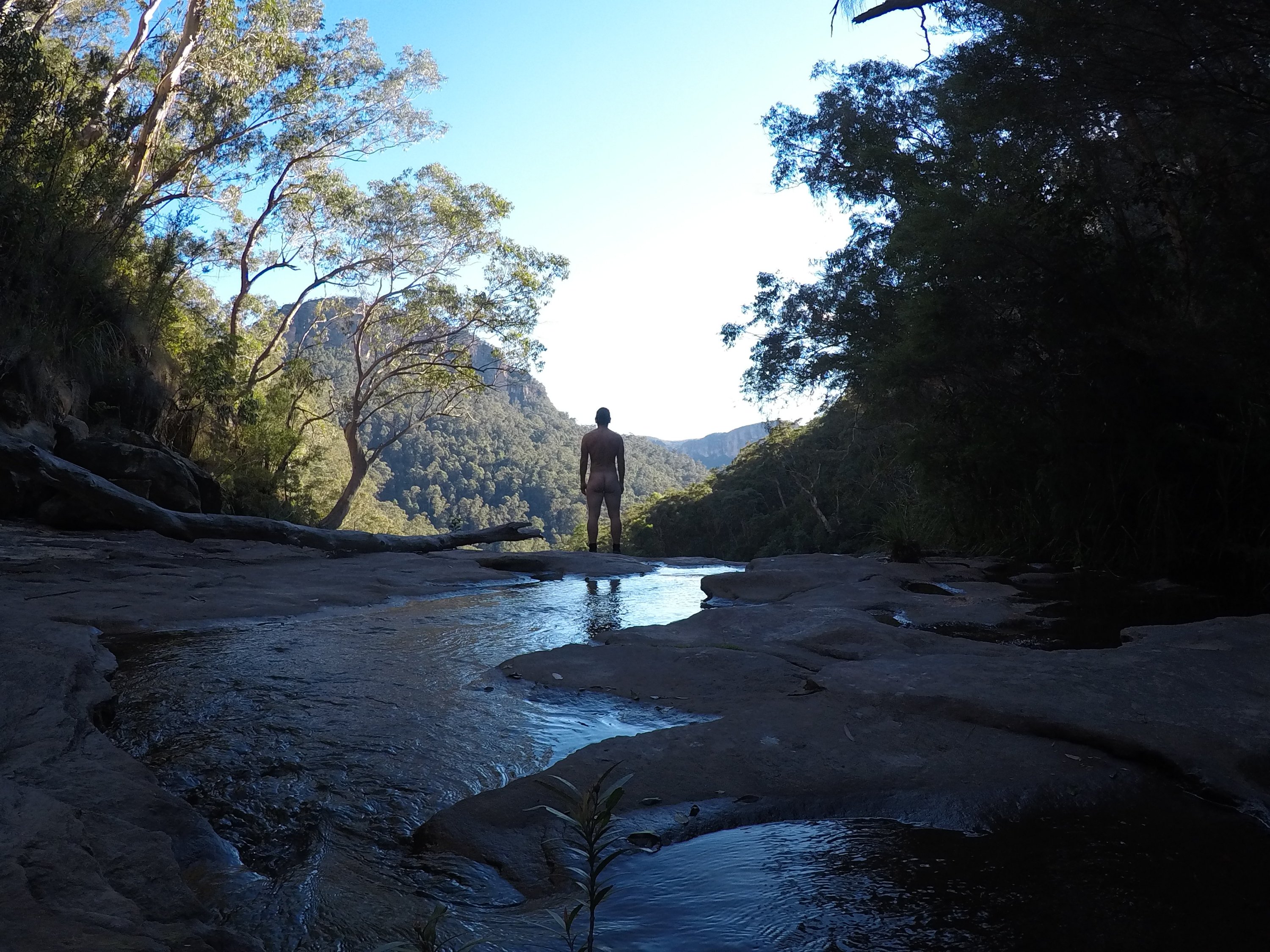
A little side track lead to Asgard Head.
The side track to Asgard Head
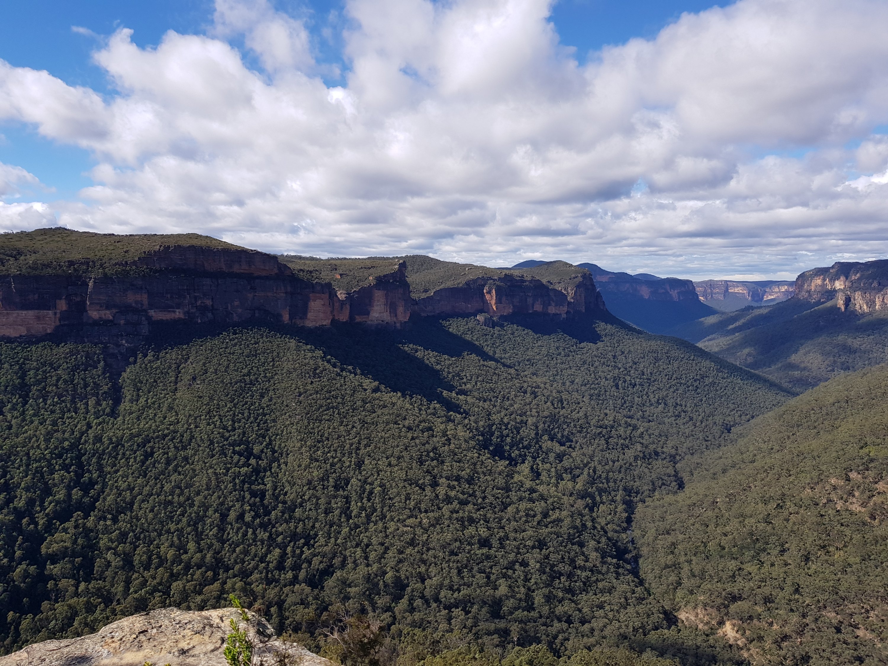
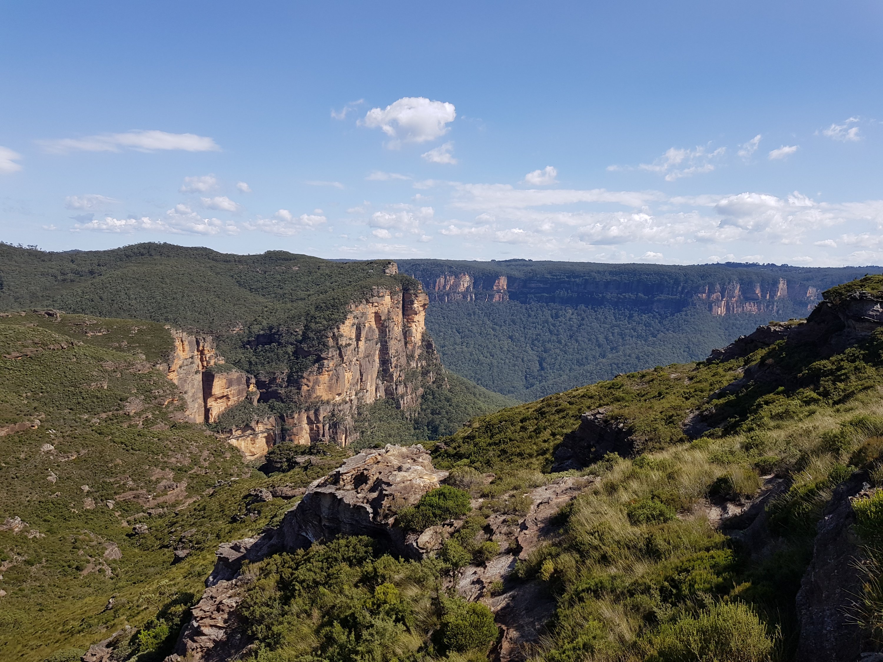
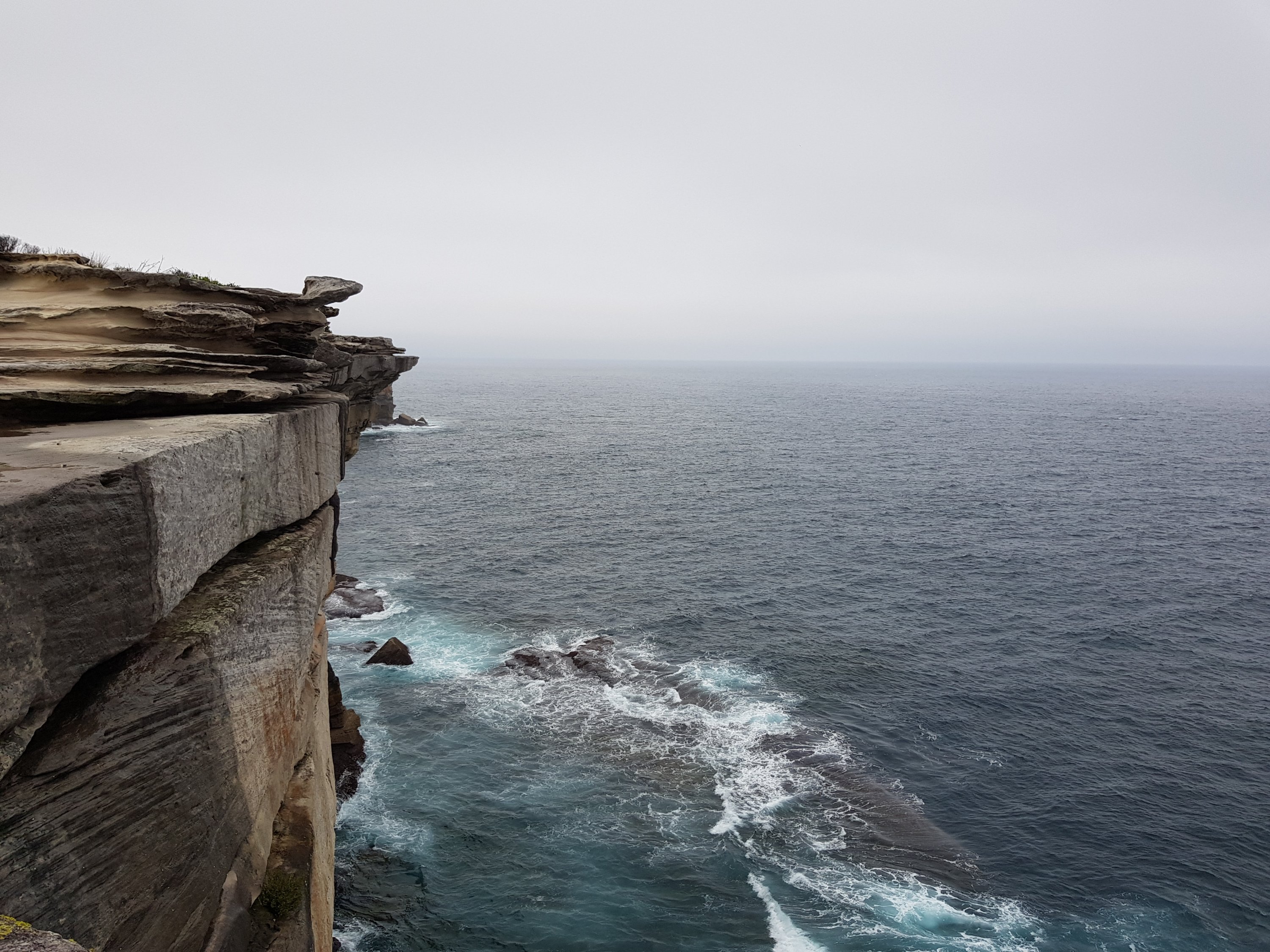
Asgard Head
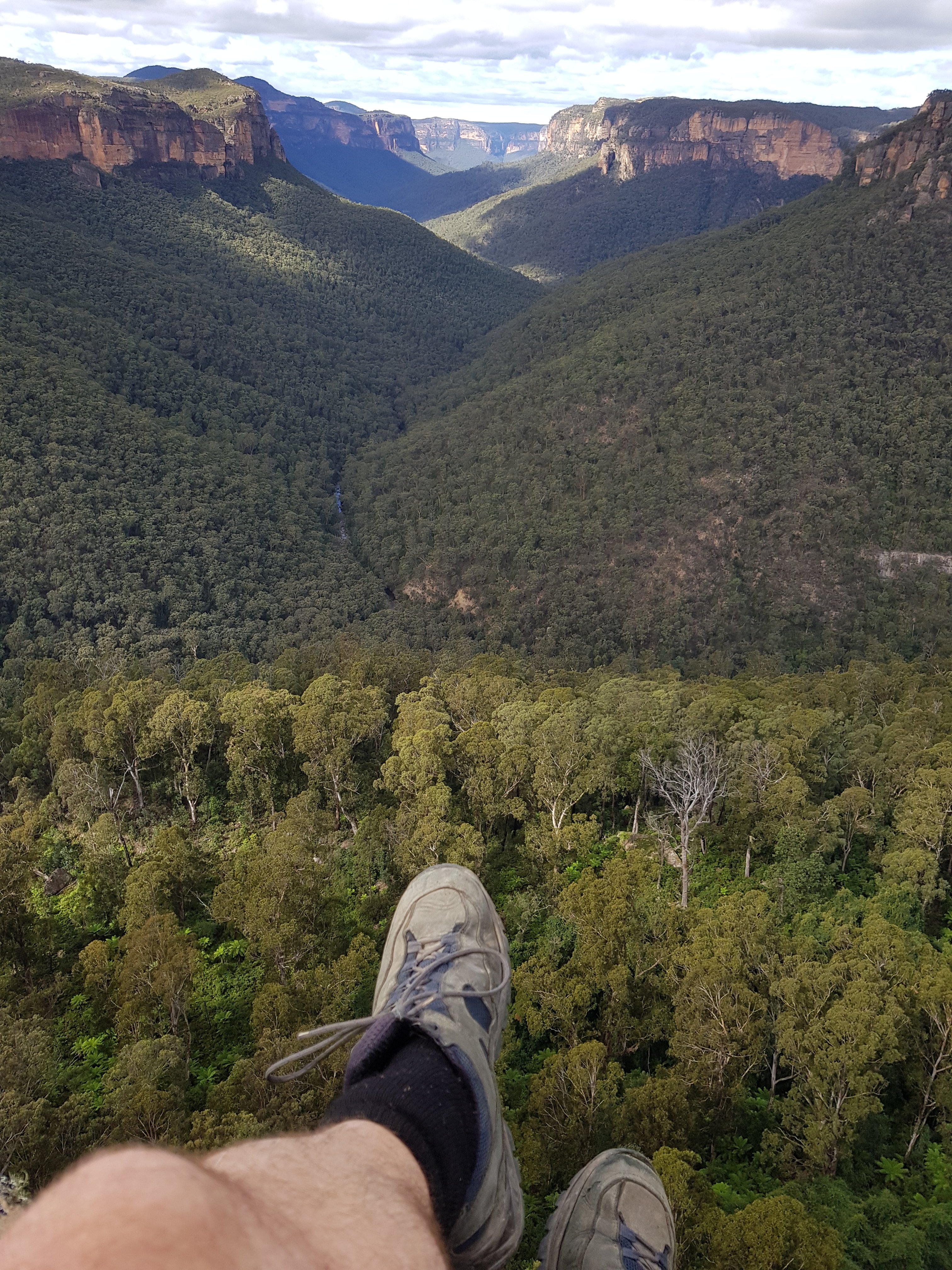
Asgard Head
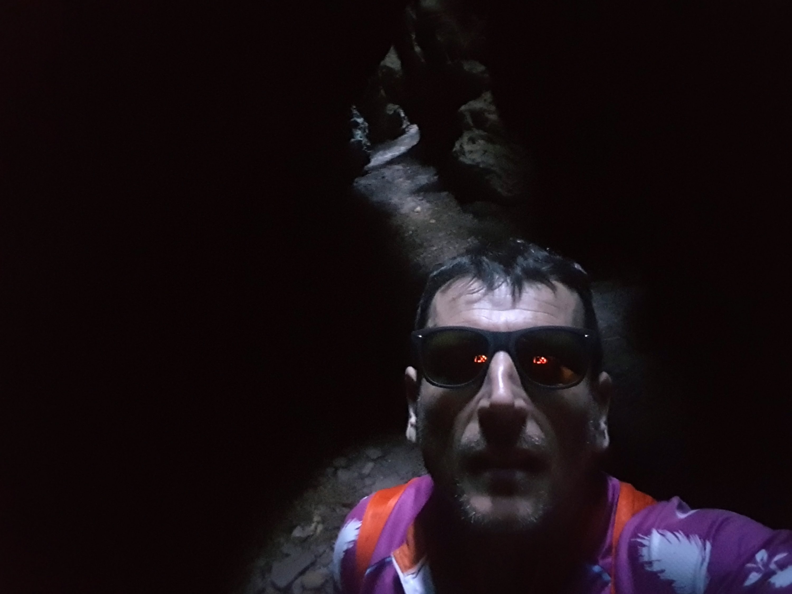
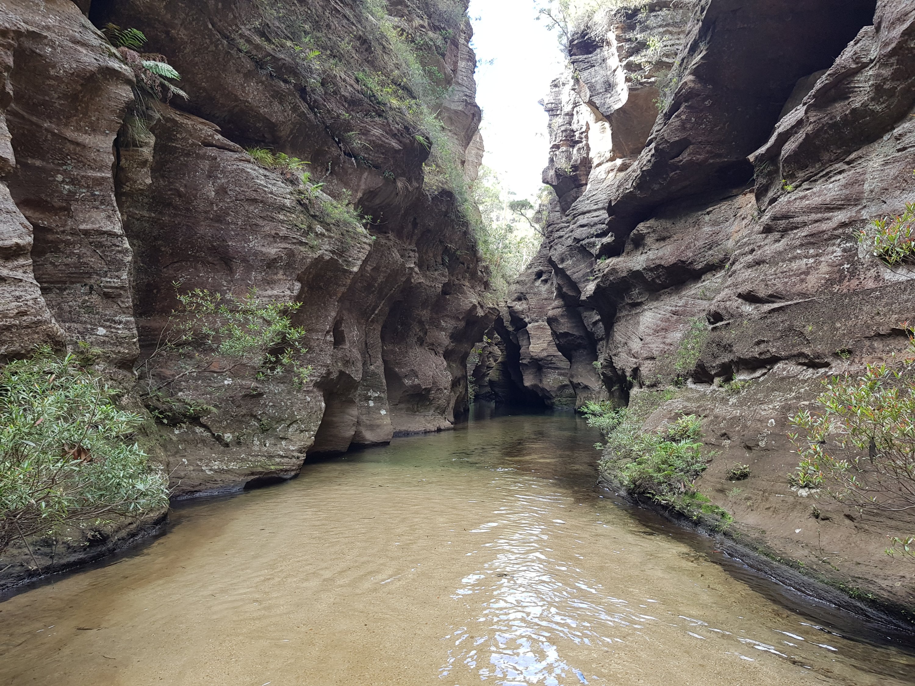
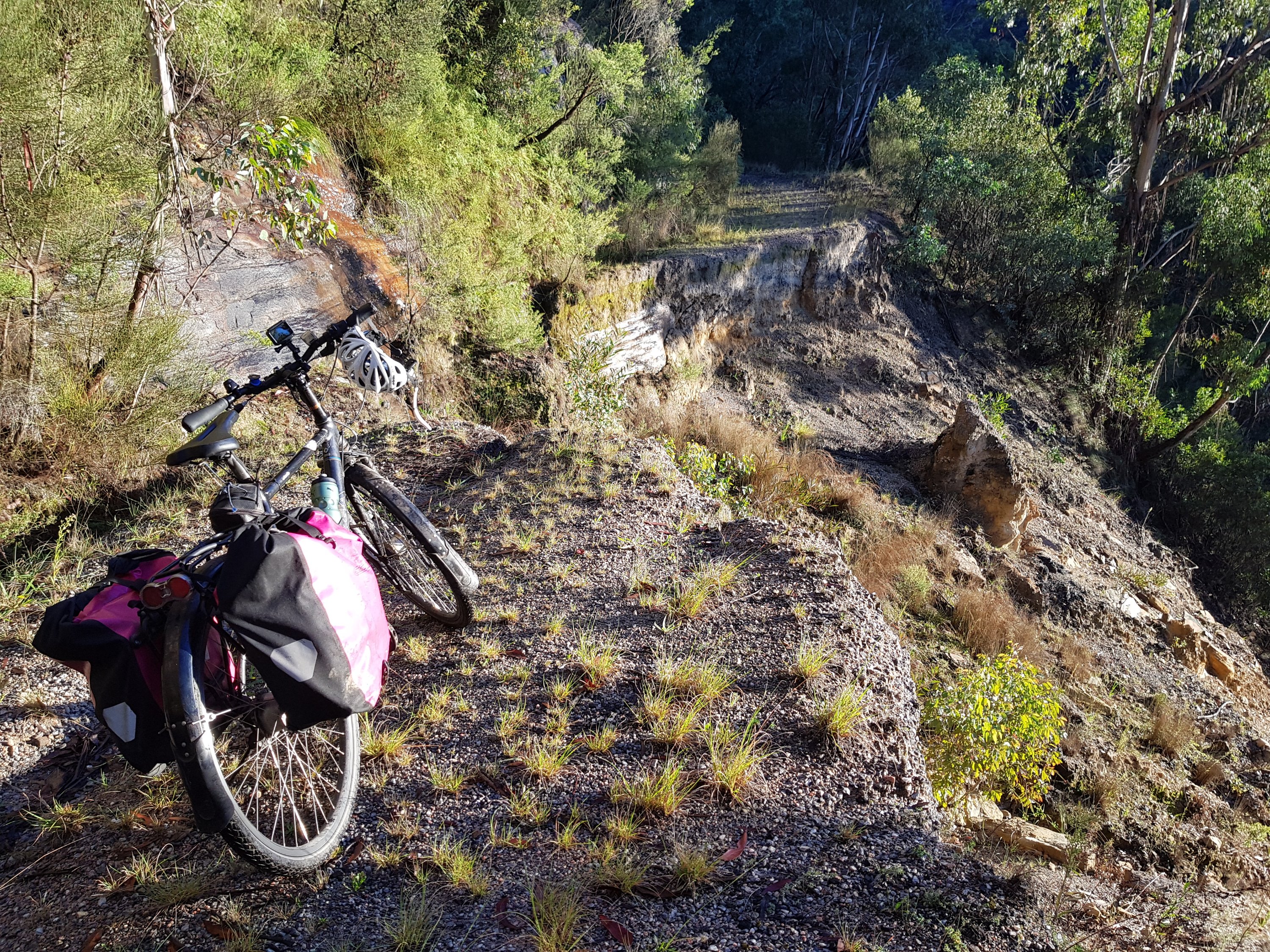
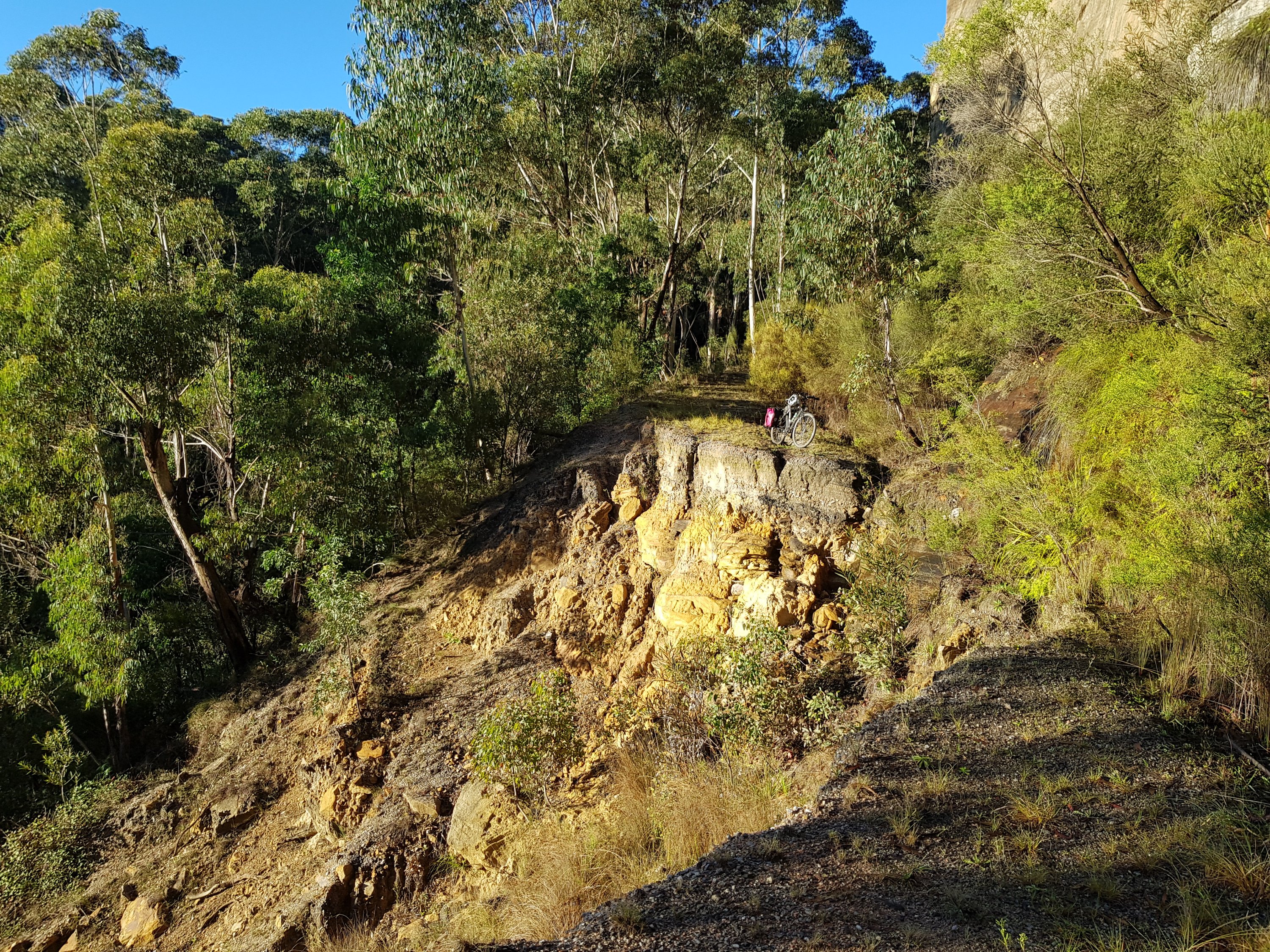
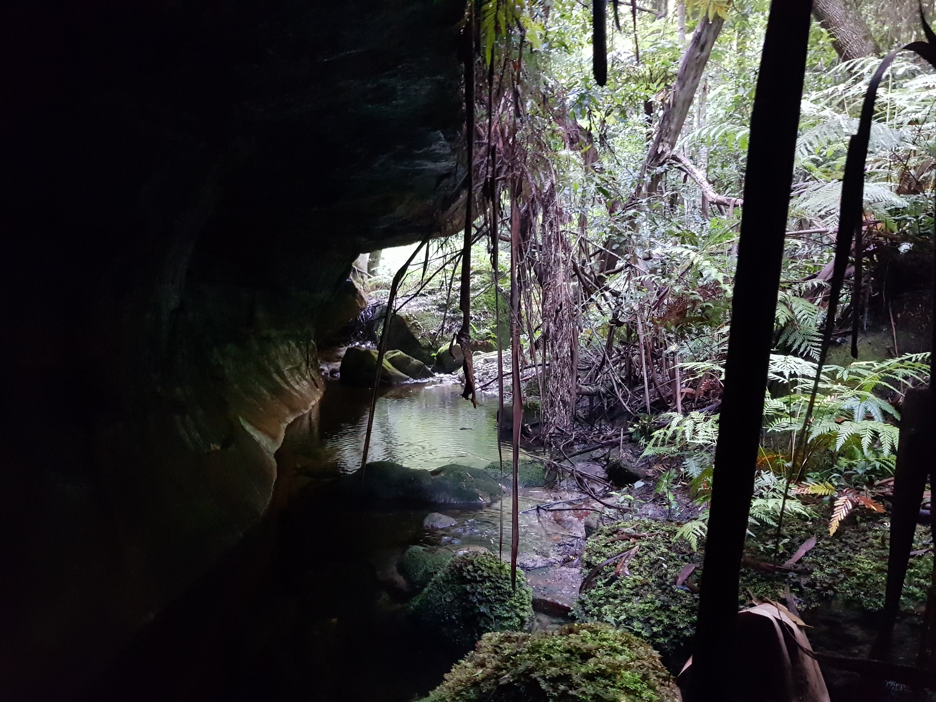
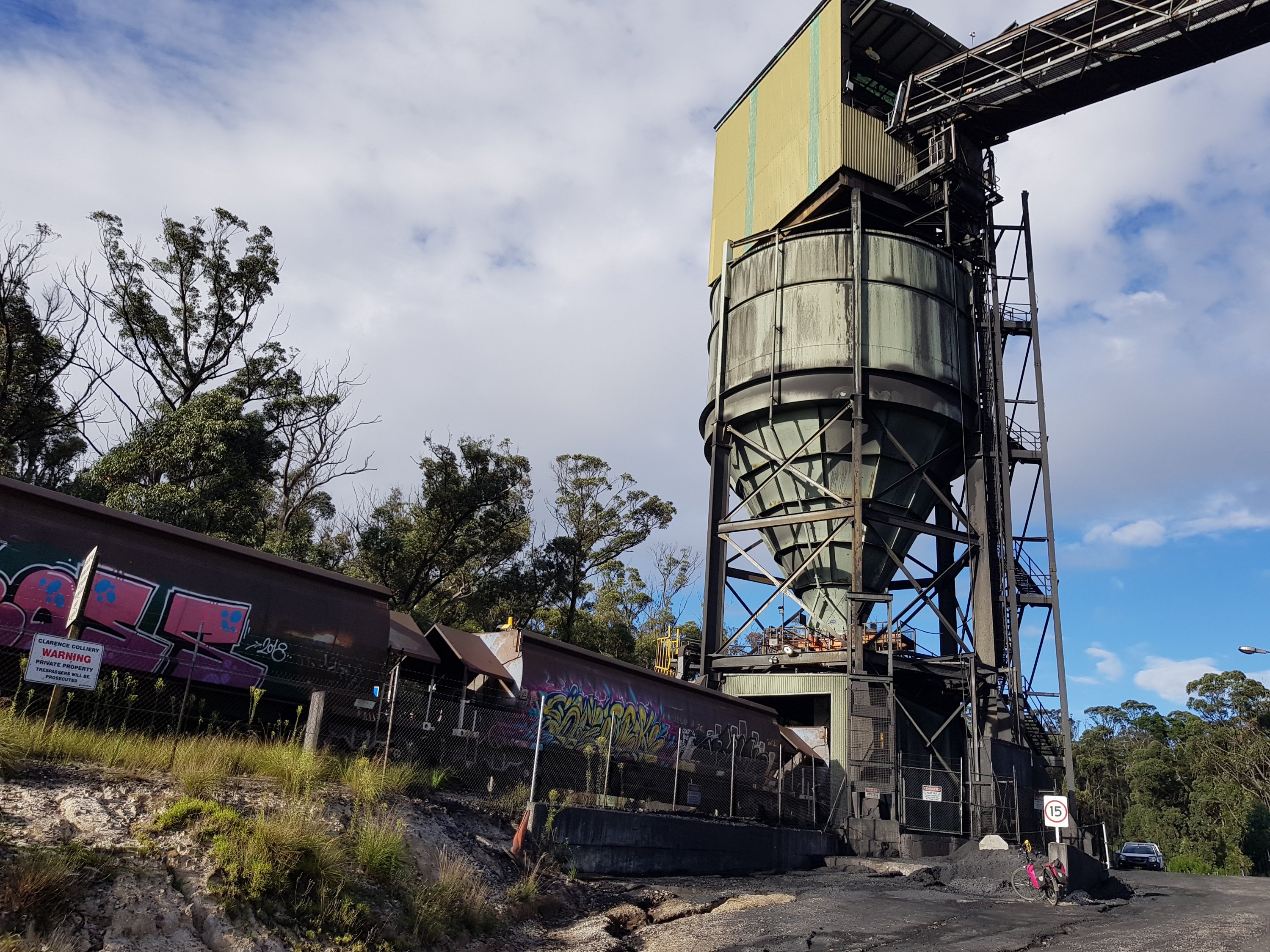
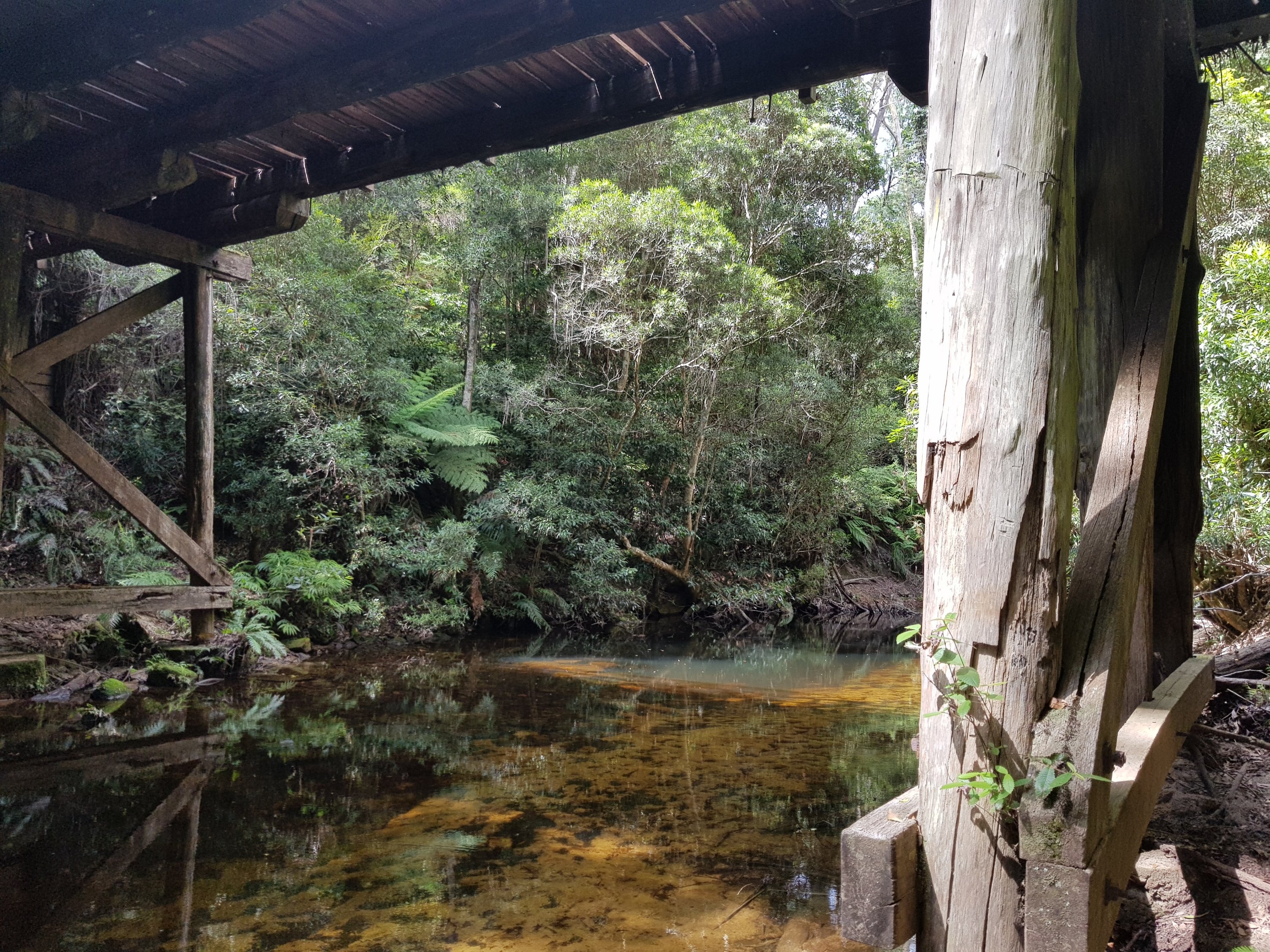
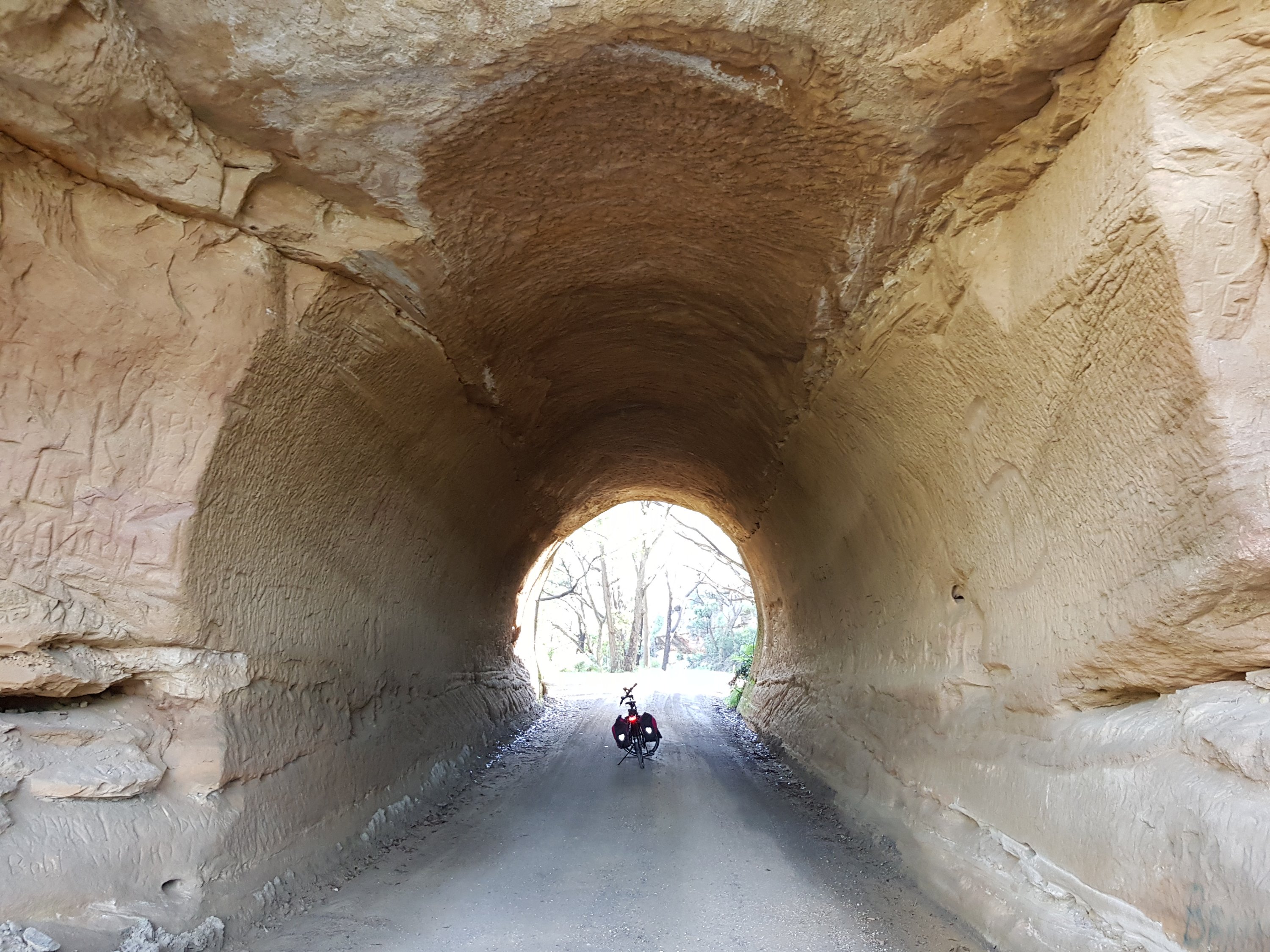
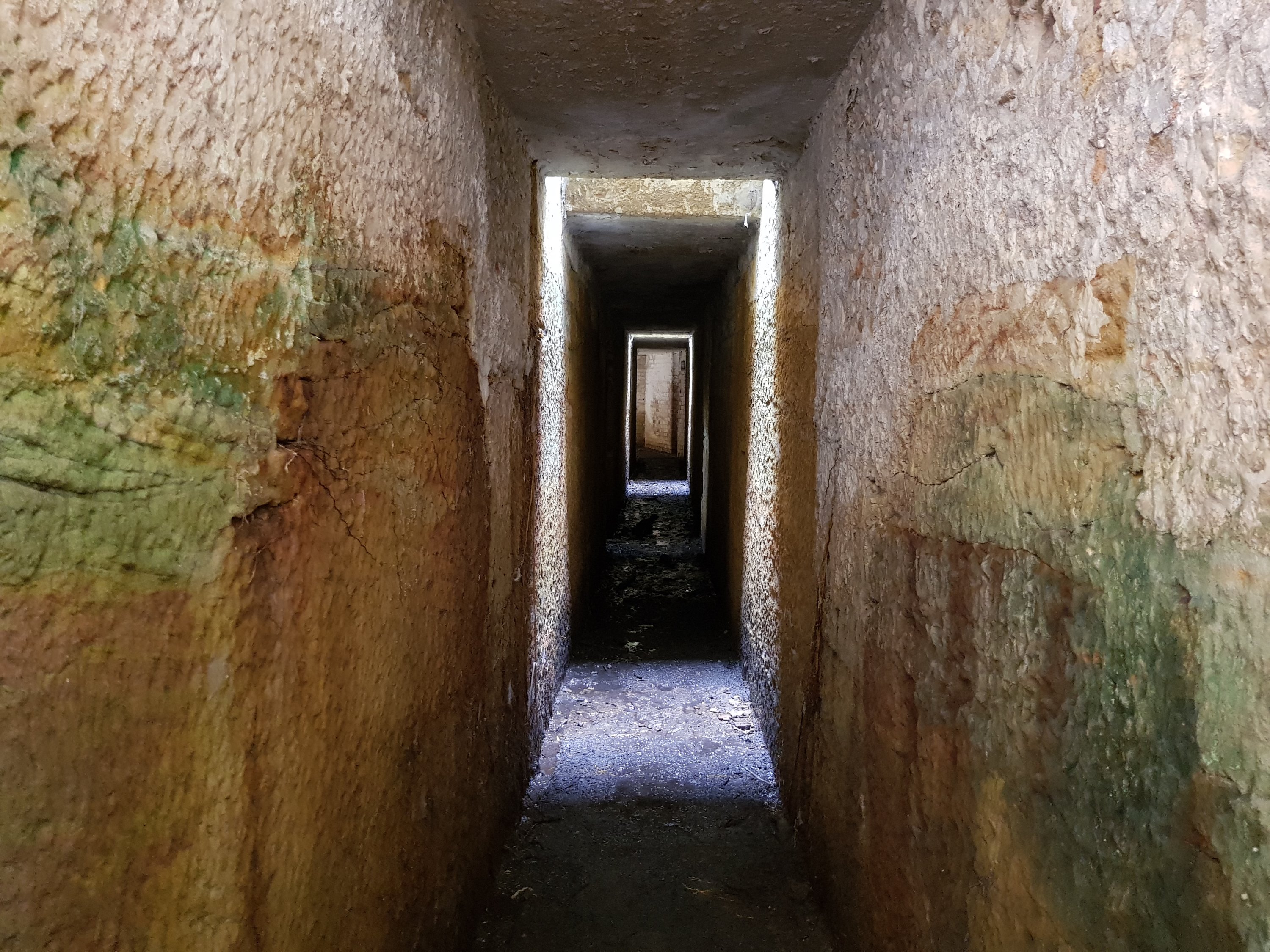
Near Asgard Head is the deserted Asgard mine. Coal was never mined there, but there is a cool little tunnel into the side of the cliff face.
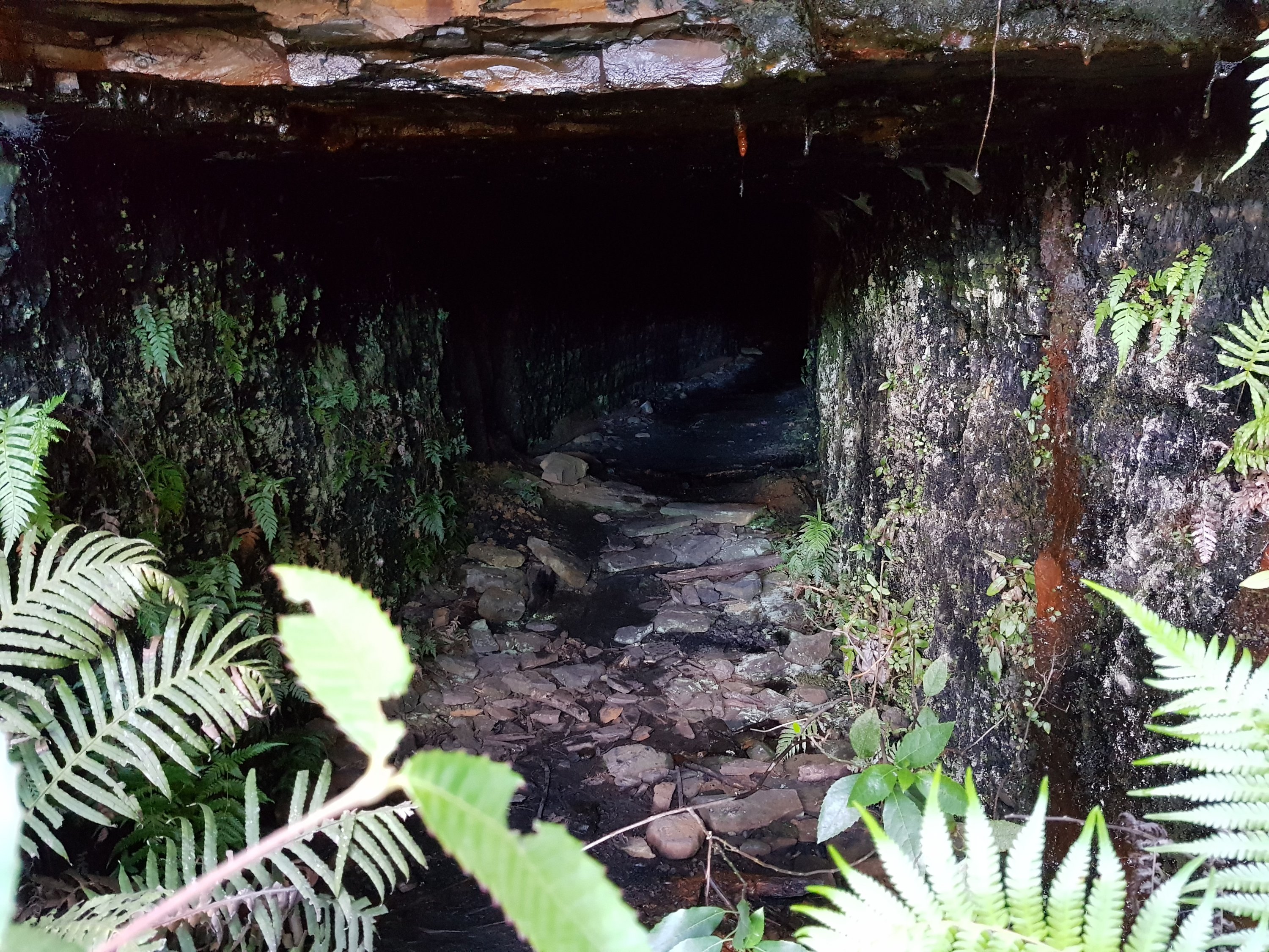
Asgard Mine
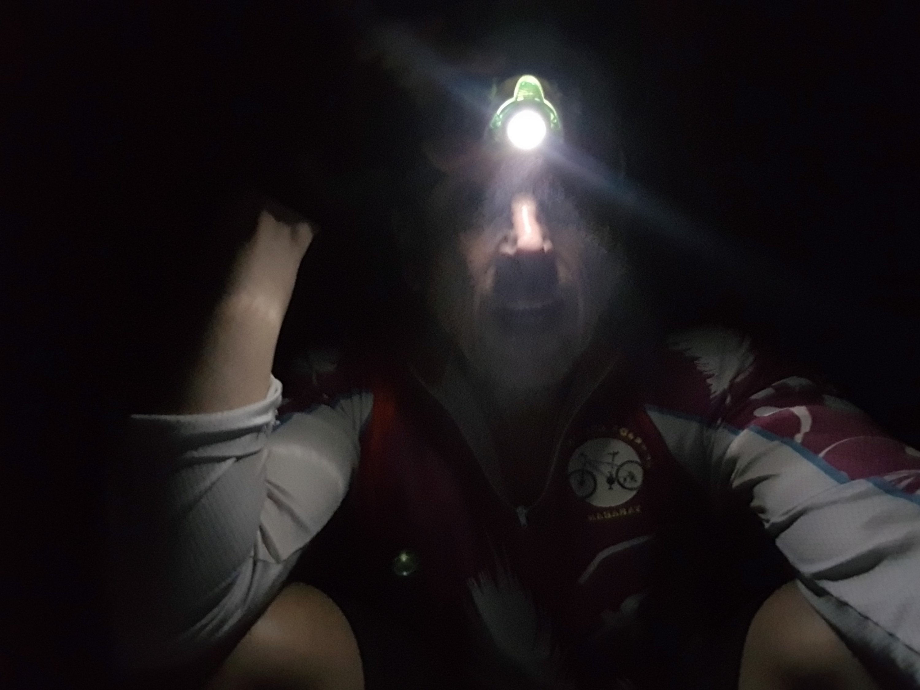
Asgard Mine
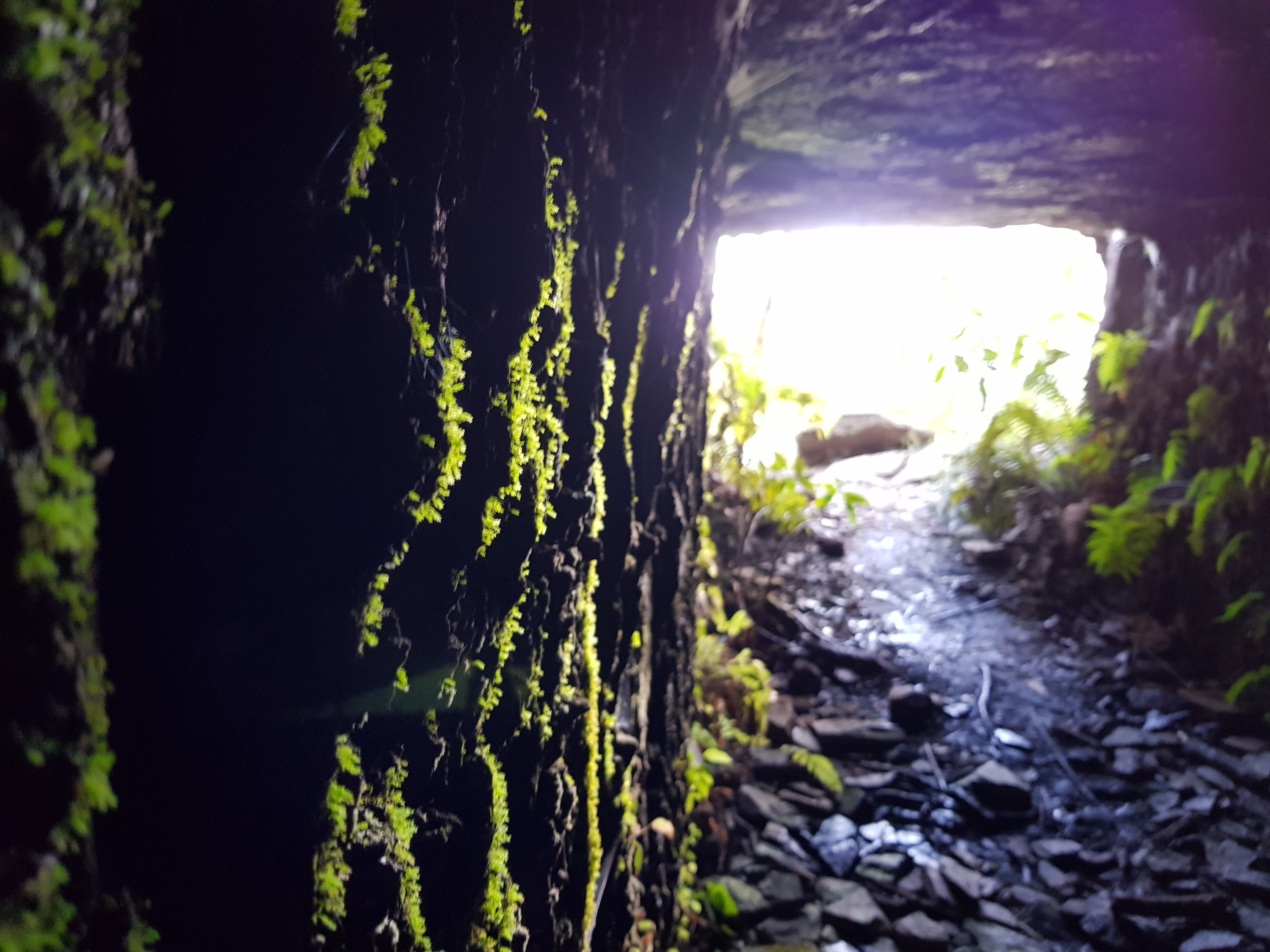
Asgard Mine
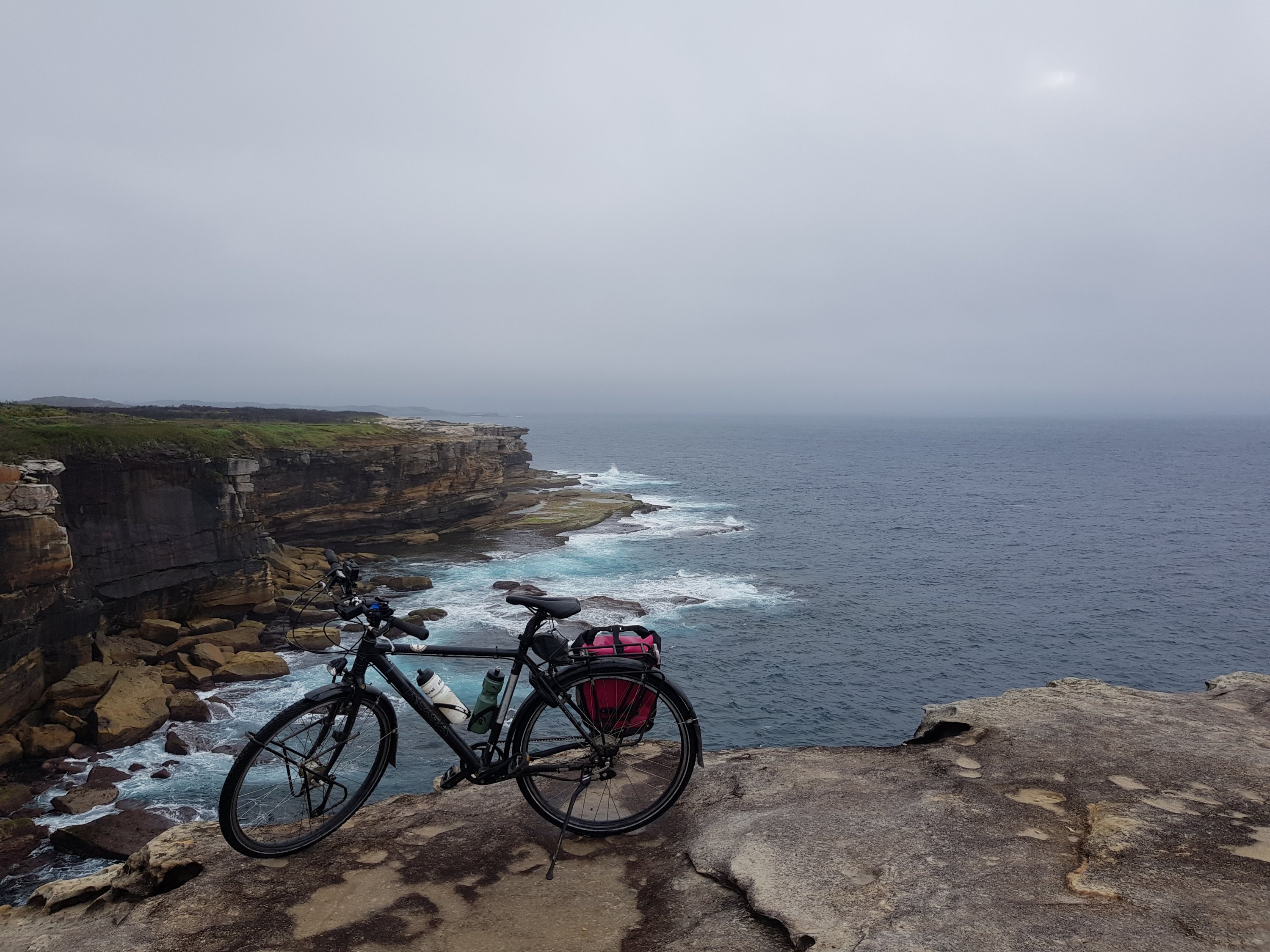
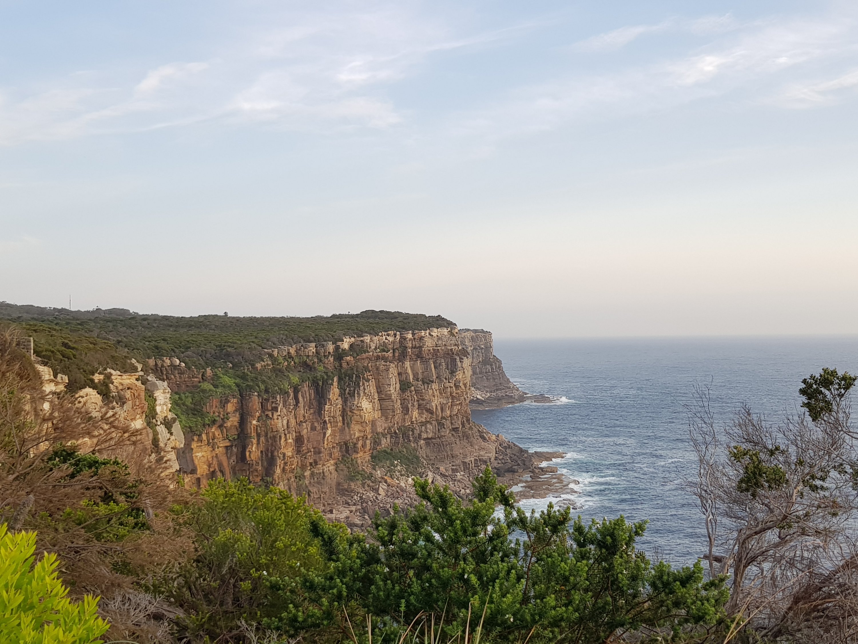
Thor Head is just around the corner and as impressive as Asgard Head.
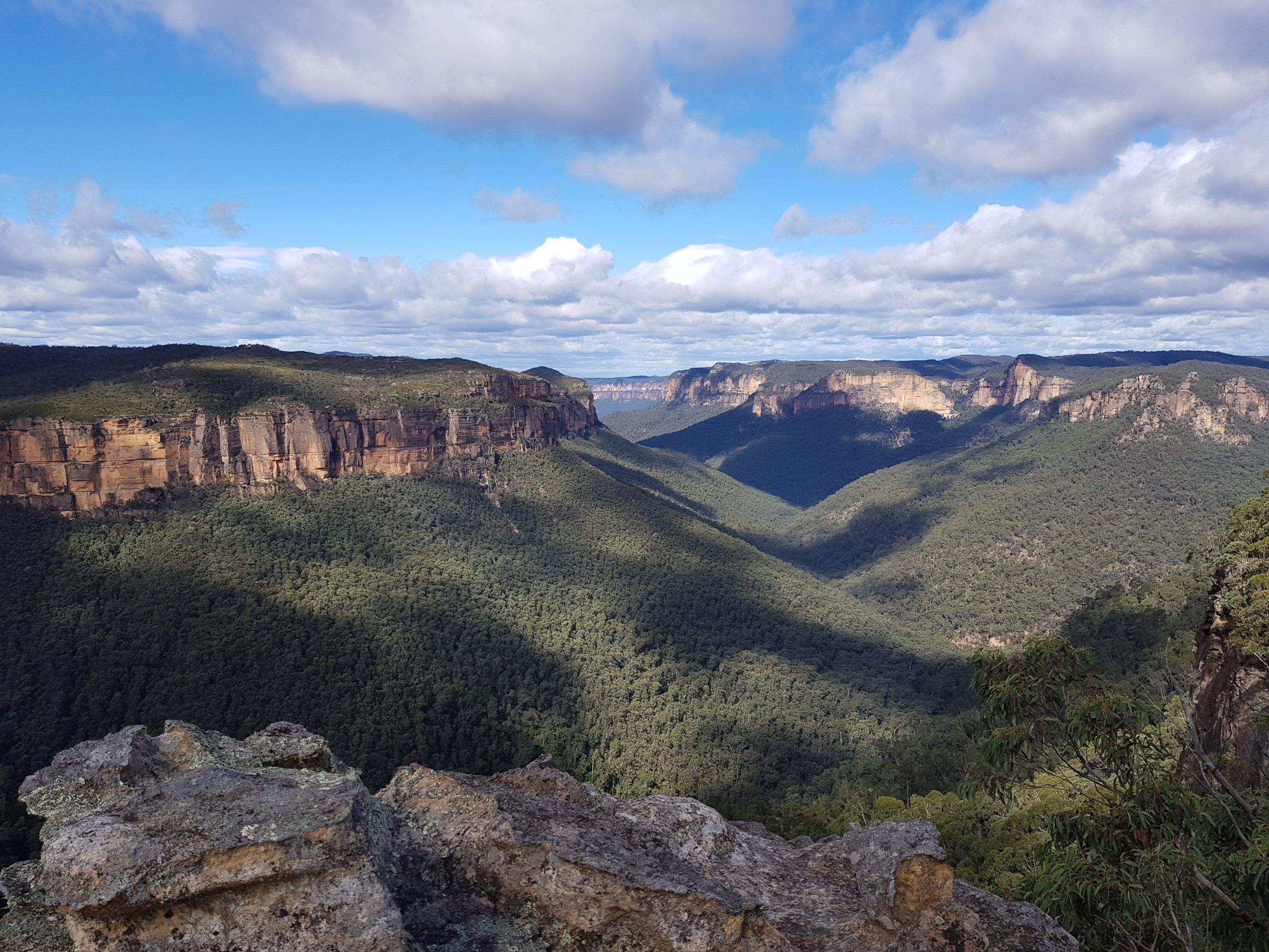
Thor Head