‘It’s a walking path, but, yeah, you should be able to make it down!’
My plan of returning back down the dead-end road back to Lithgow was transformed into a beautiful loop through pristine Blue Mountains landscape.

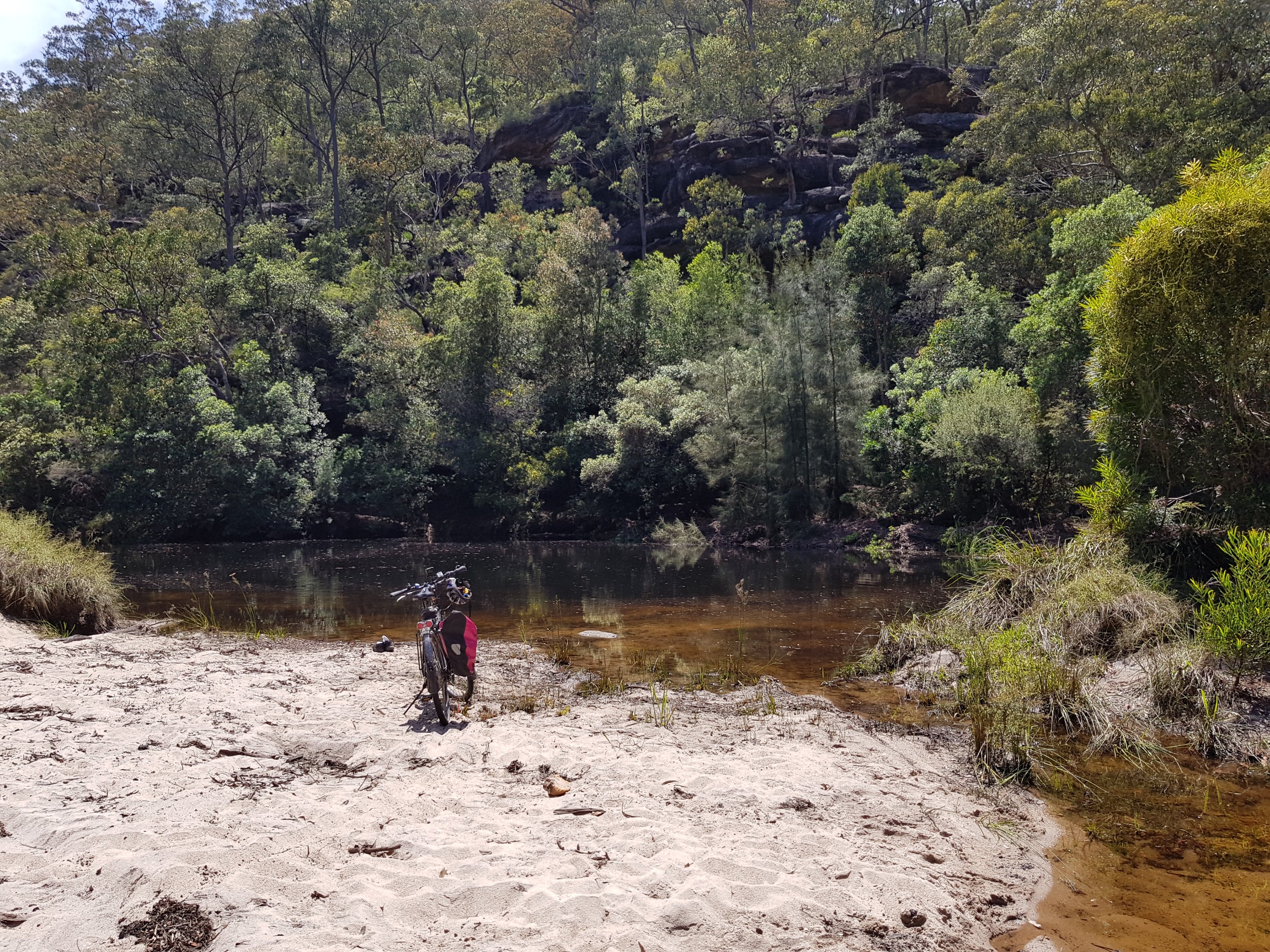
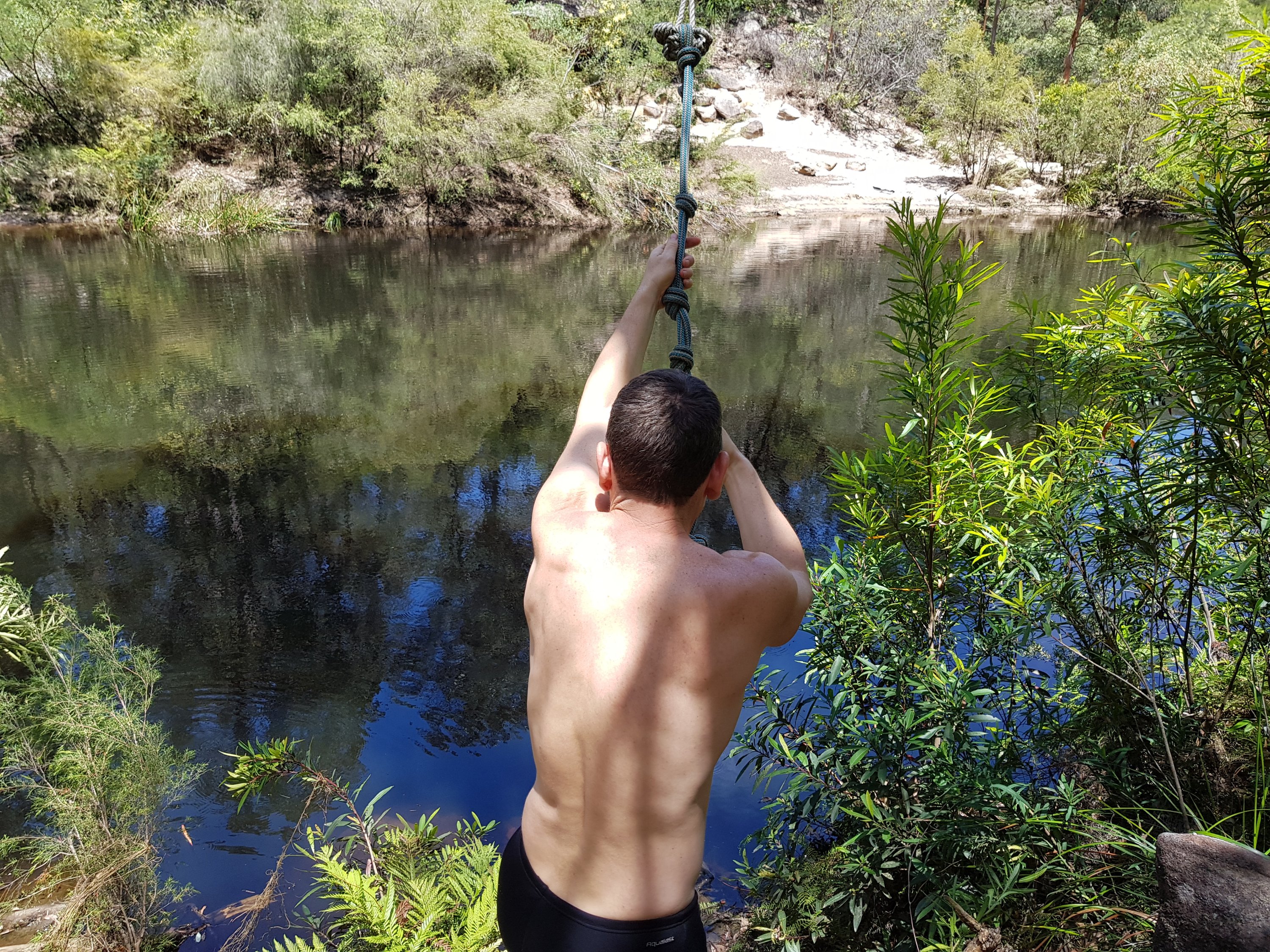
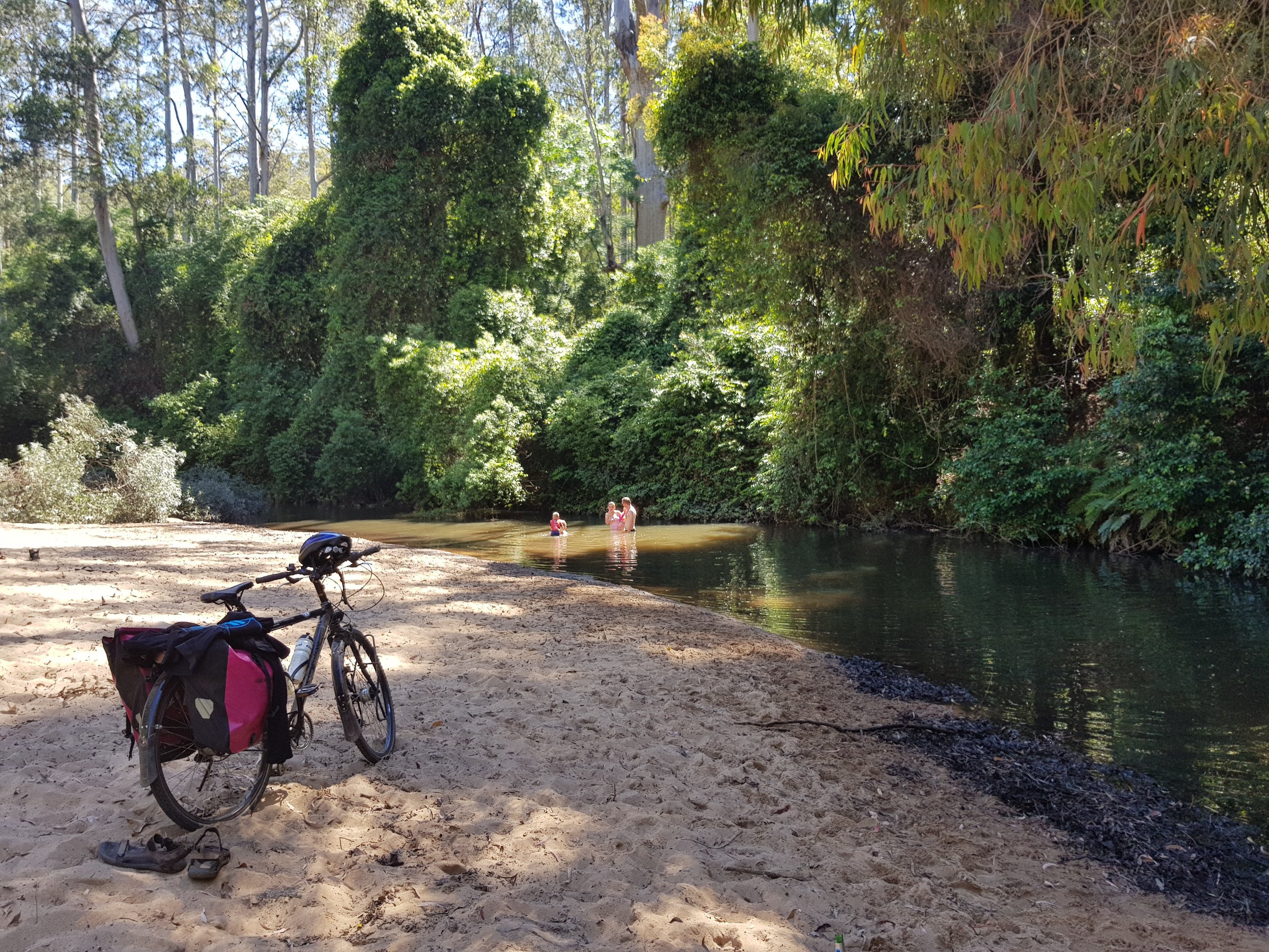
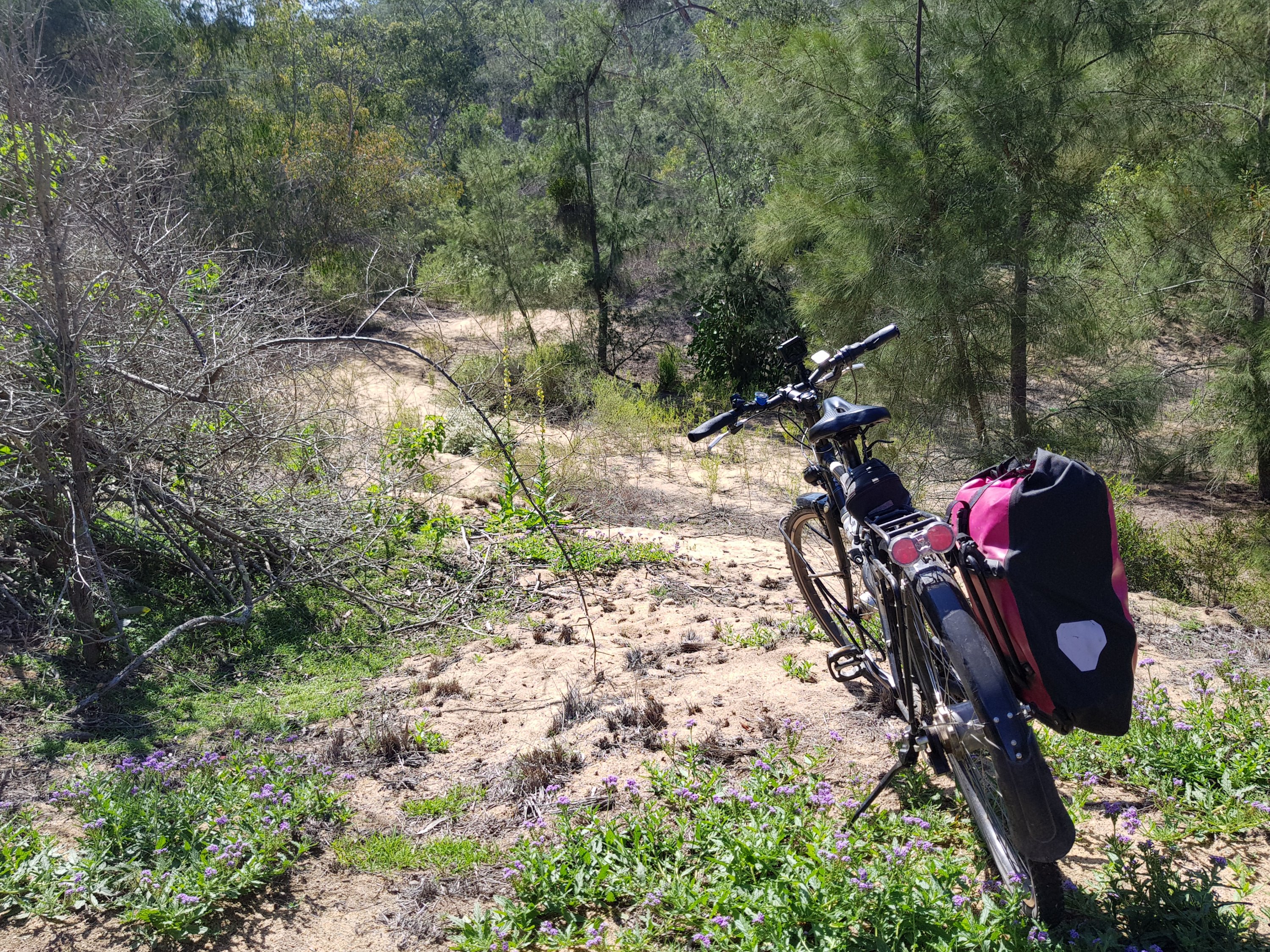
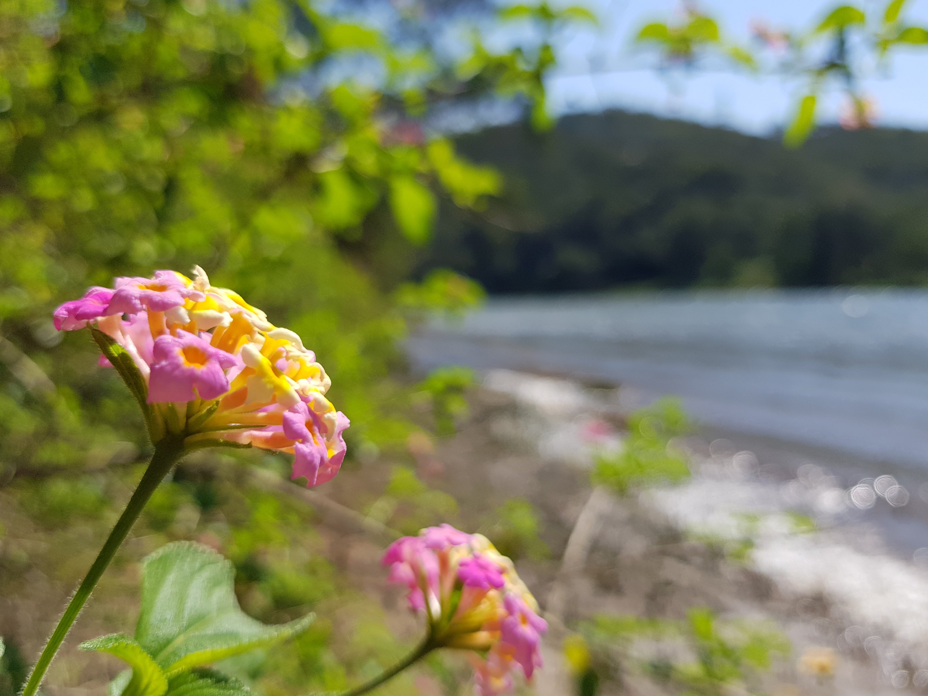
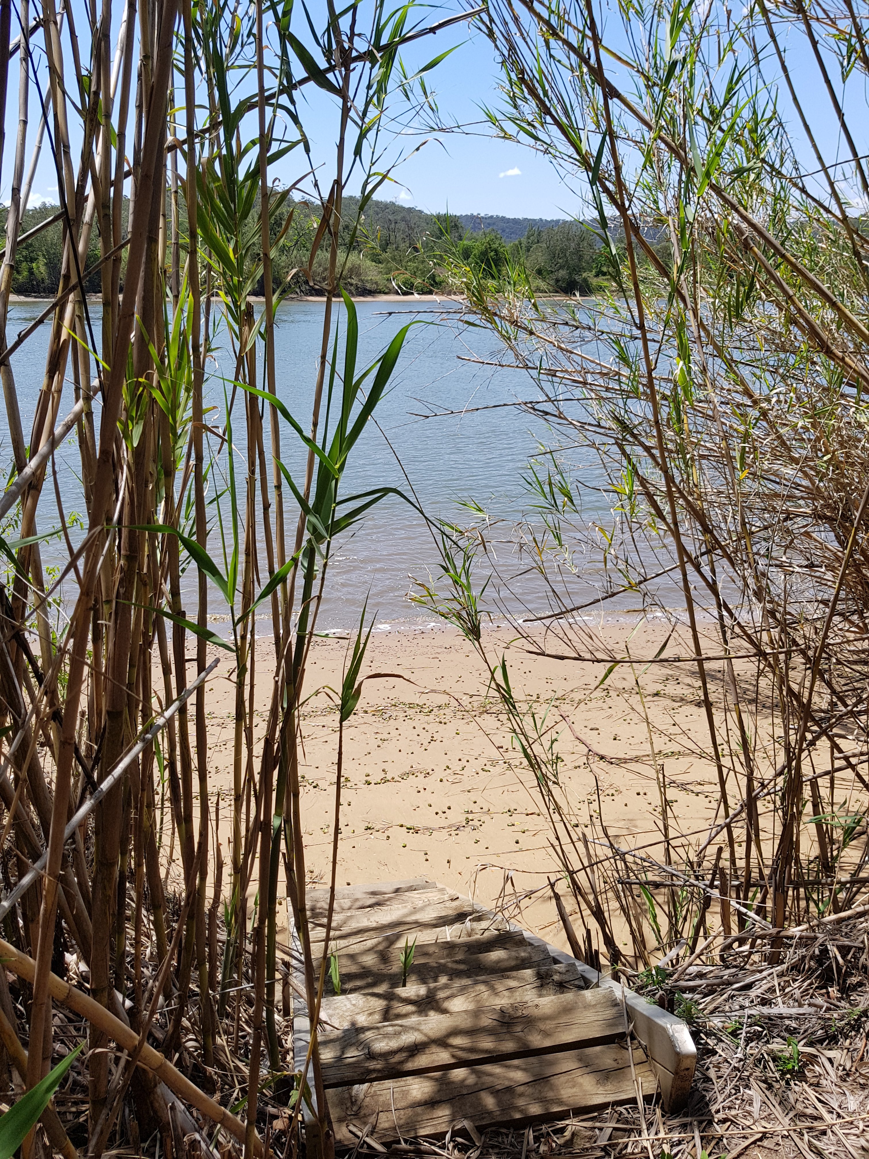
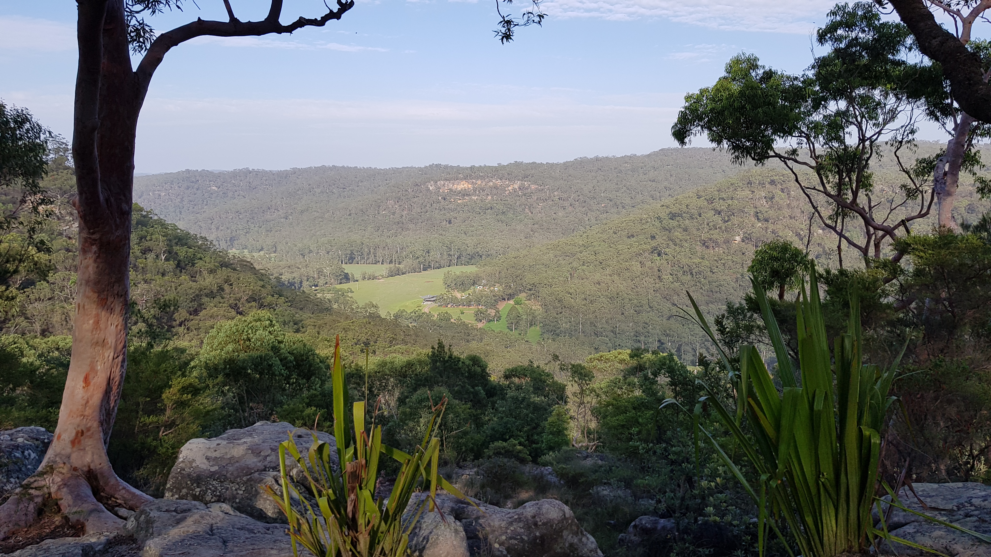
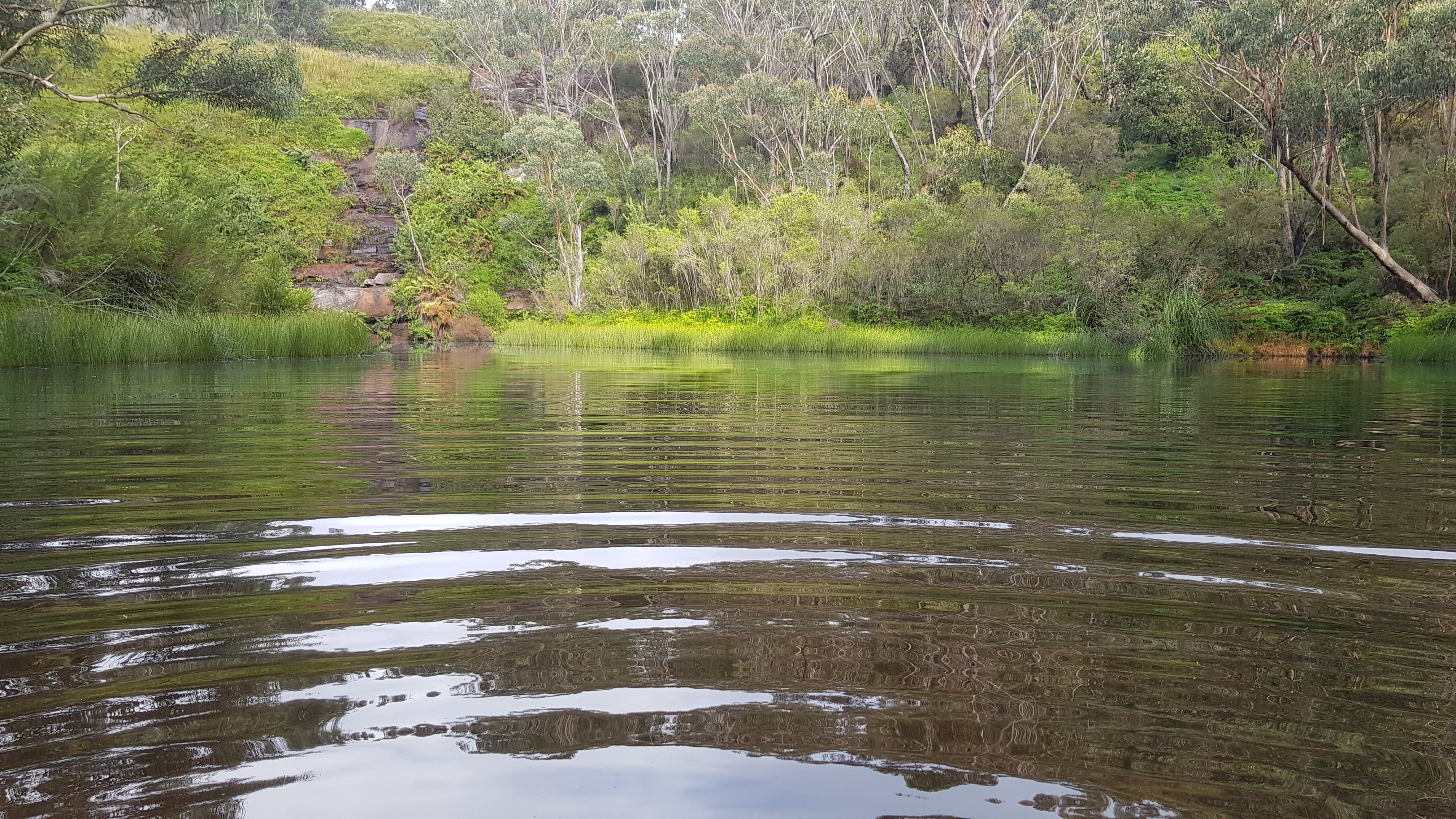
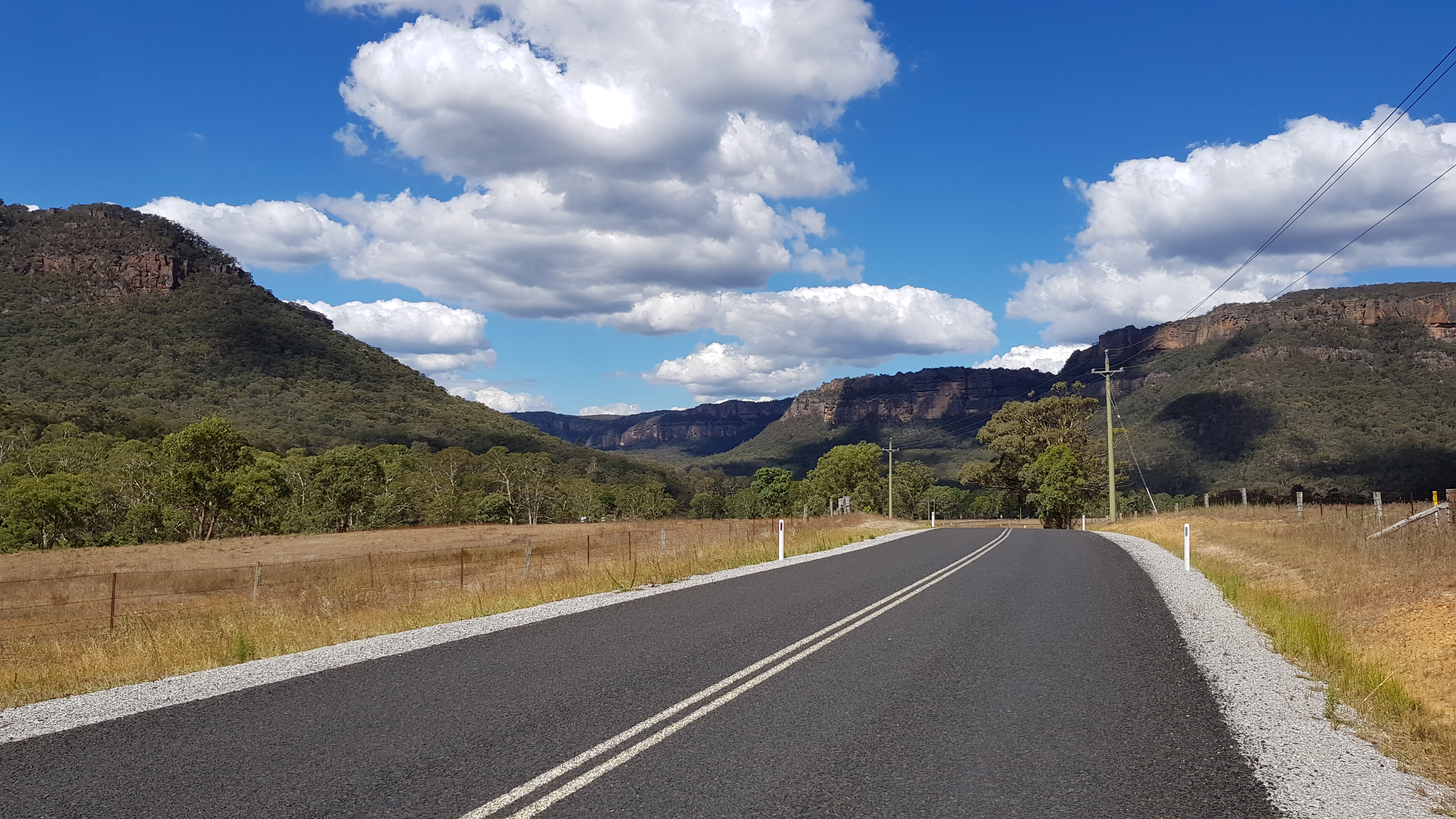
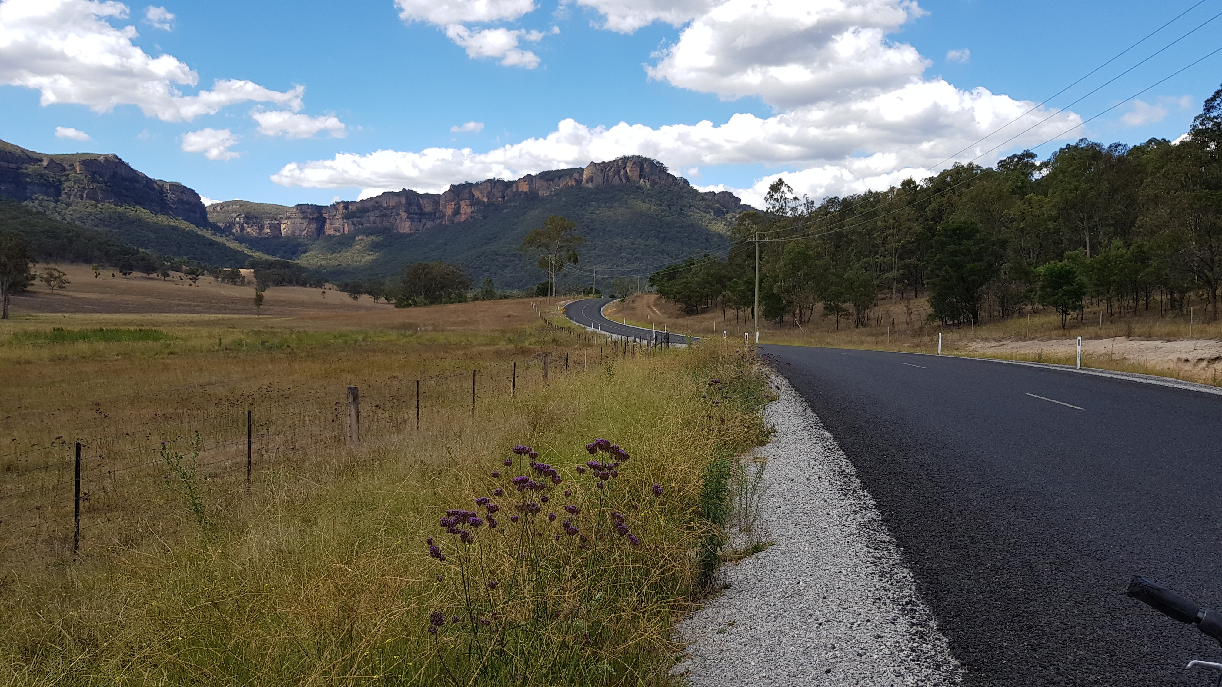
Wolgan Valley
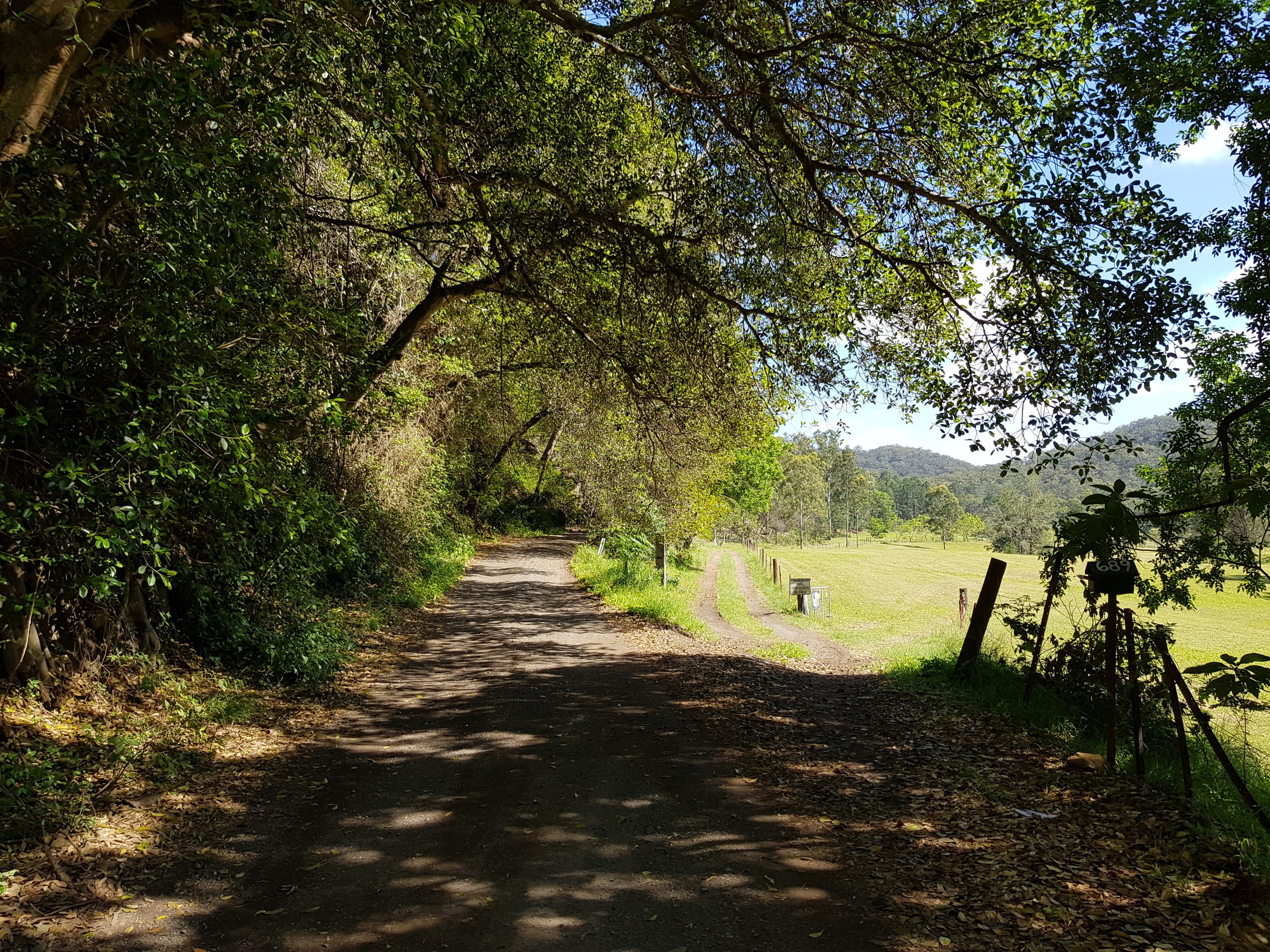
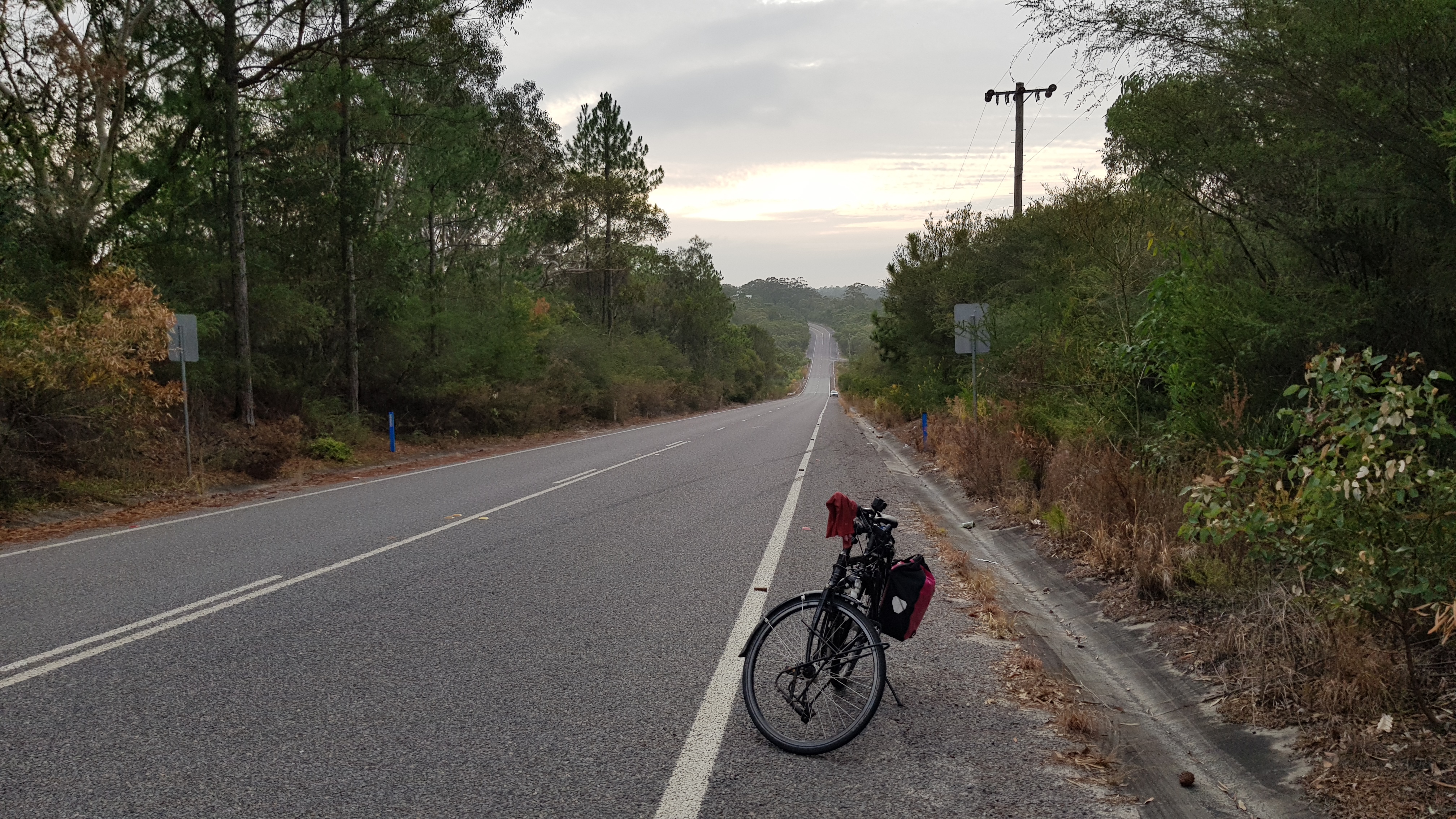
The return was also on a dead-end road, through the Wolgan Valley. Dead-end roads are the best. There are hardly any cars. People are too busy going from A to B to worry with dead-end roads. Cycling on them is like being on a different planet.

Wolgan Valley

Wolgan Valley
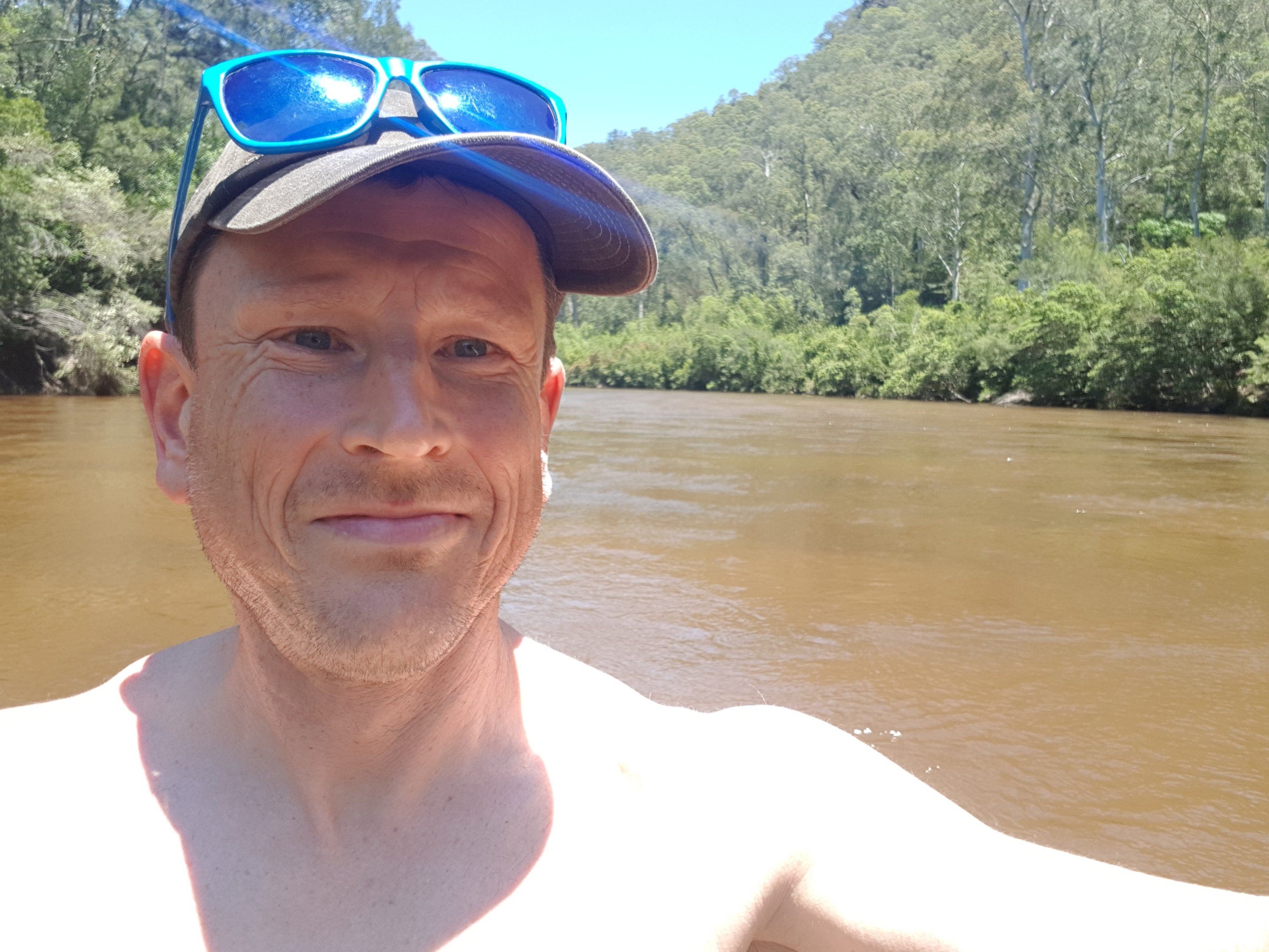
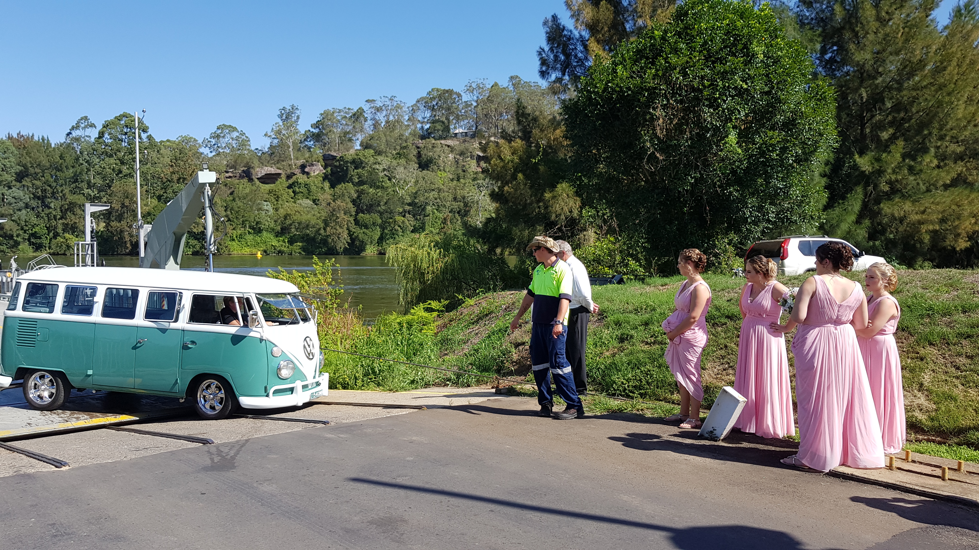
And the kind of people driving on the road are cool. Some cycling fans recognised my bike – a Koga with Rohloff hub. They were so excited they stopped for a photo opportunity, and then offered me food and water. It was like being on the world bike trip all over again!

Friendly people
At the end of the dead-end road is an old pub that now runs as a kiosk on weekends. Entering there makes you feel time has stood still.

Newnes pub
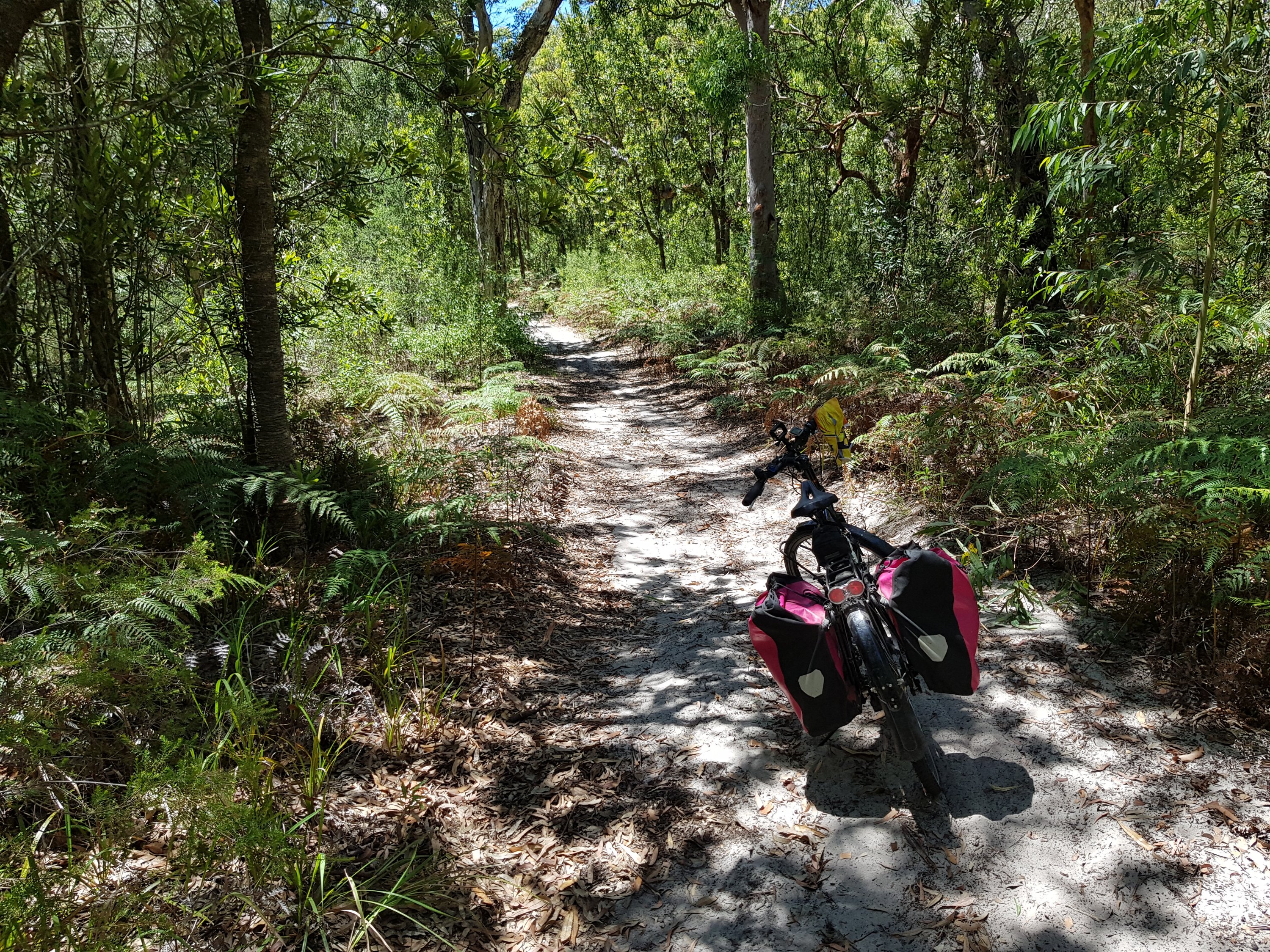
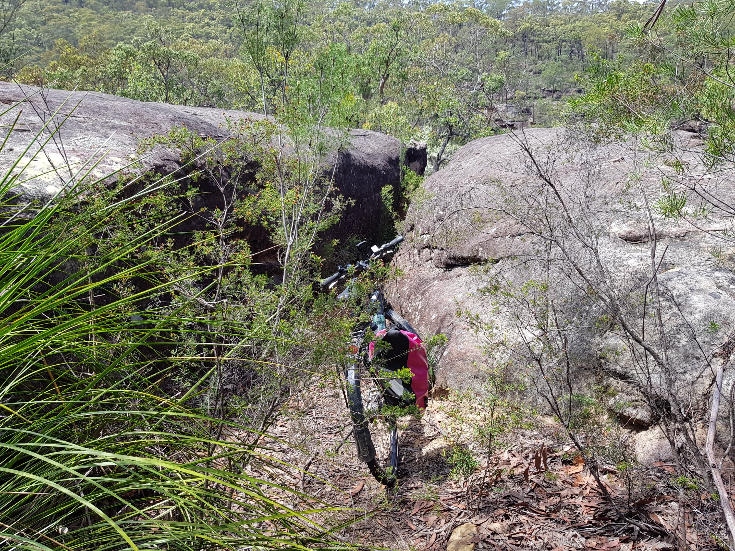
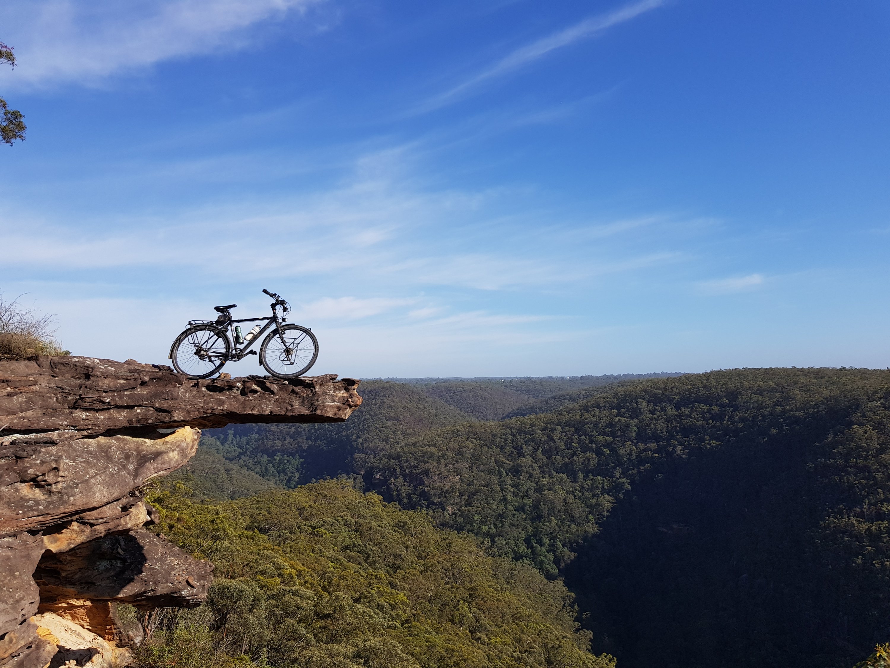
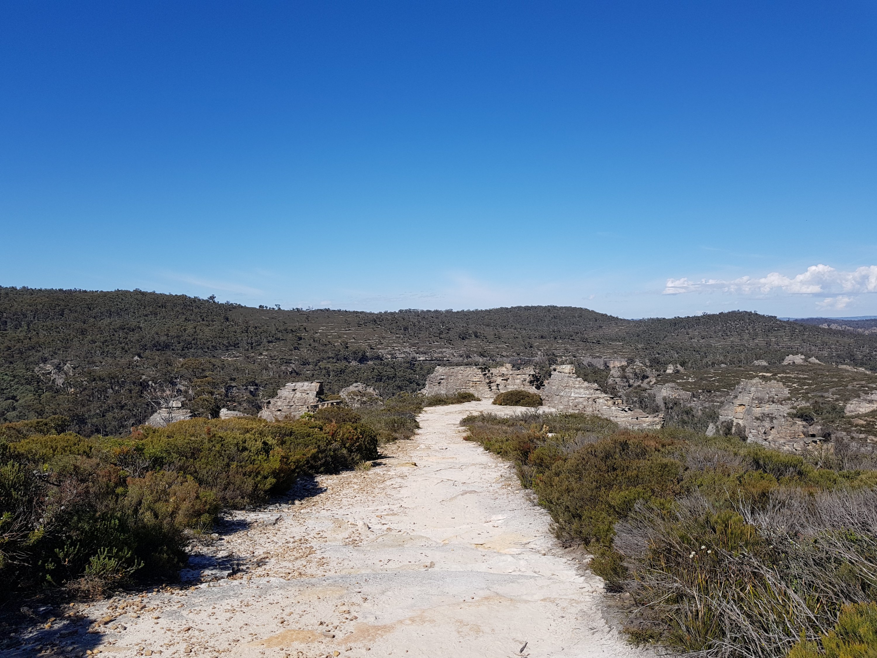
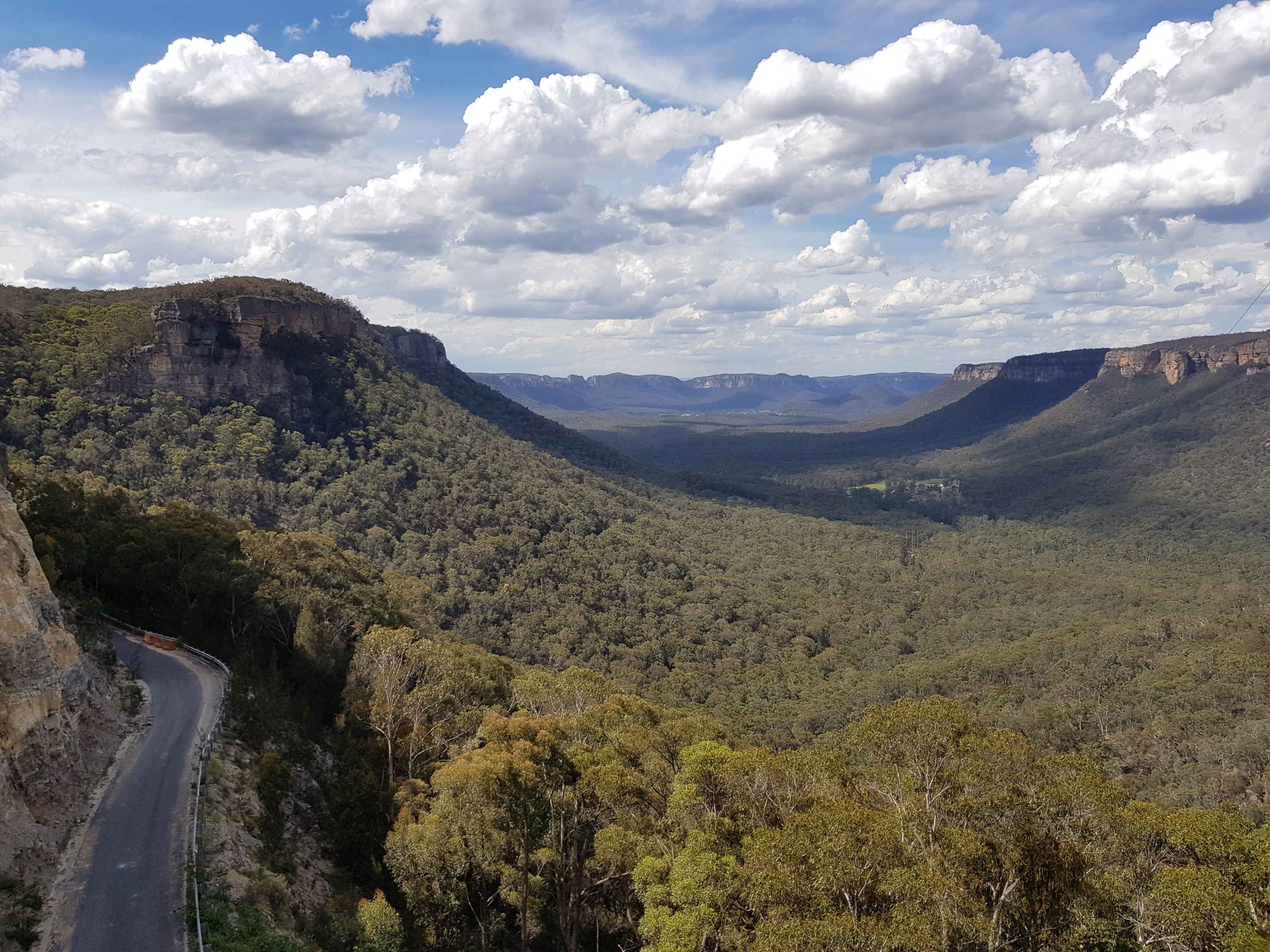
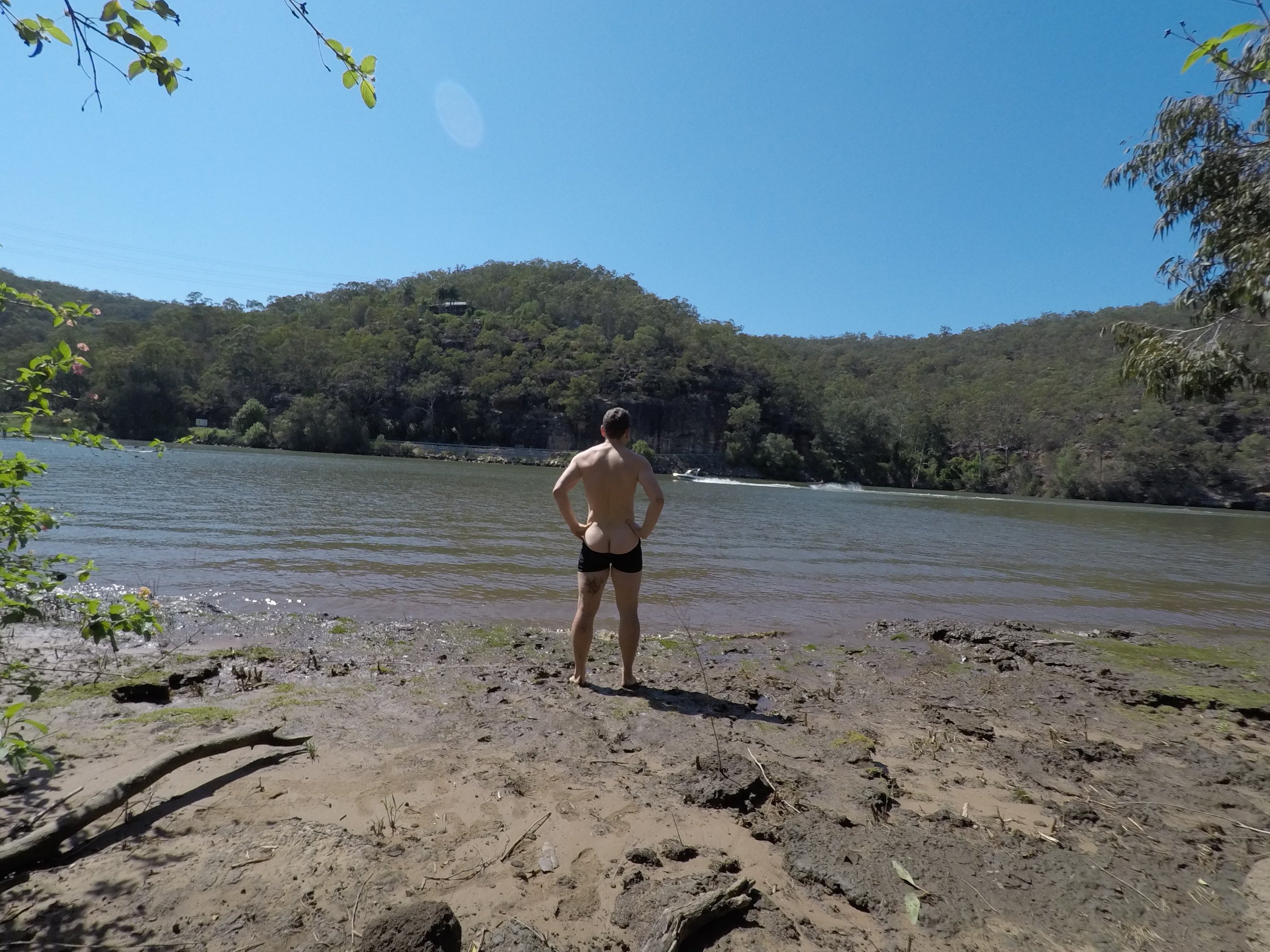
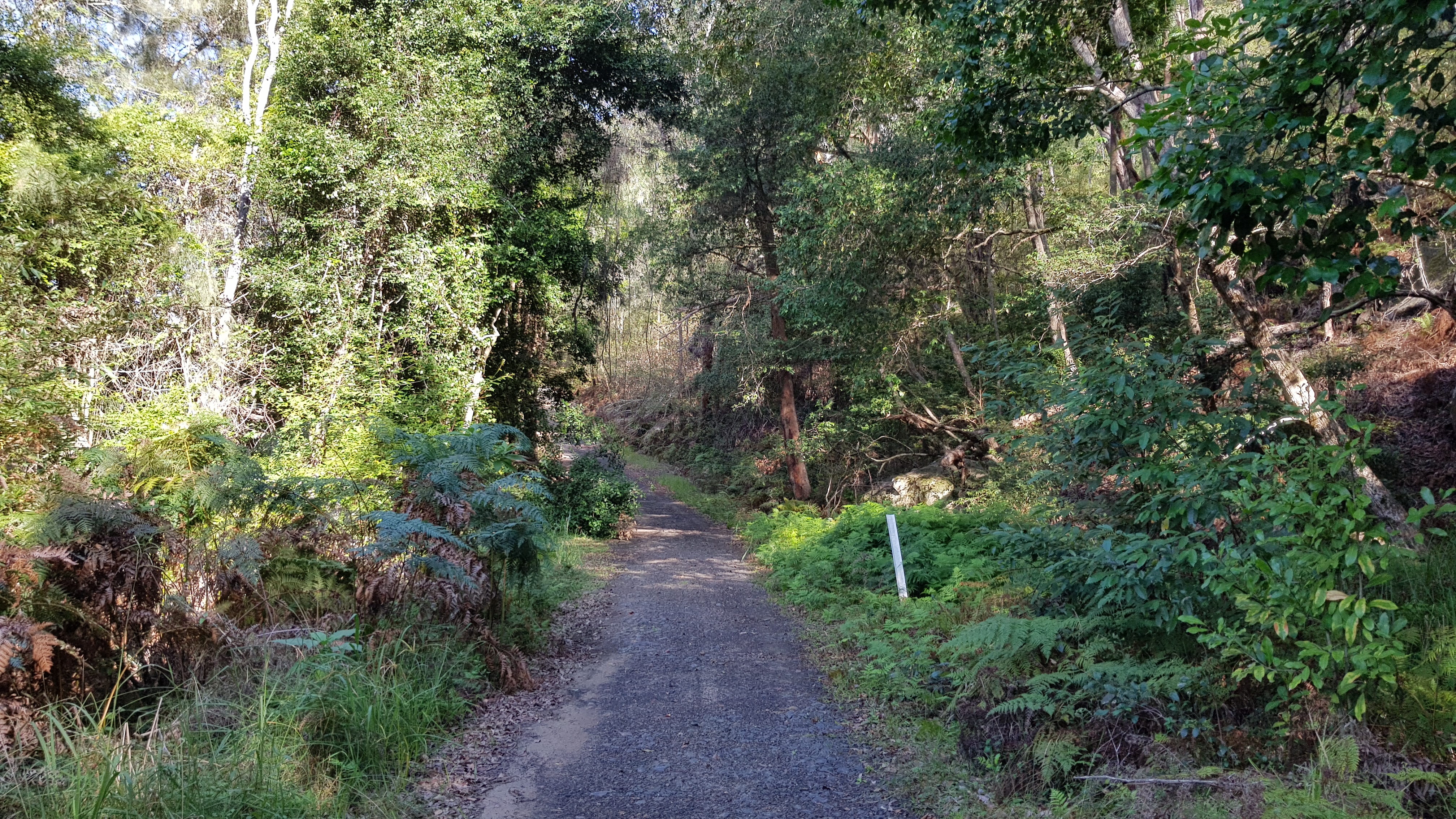
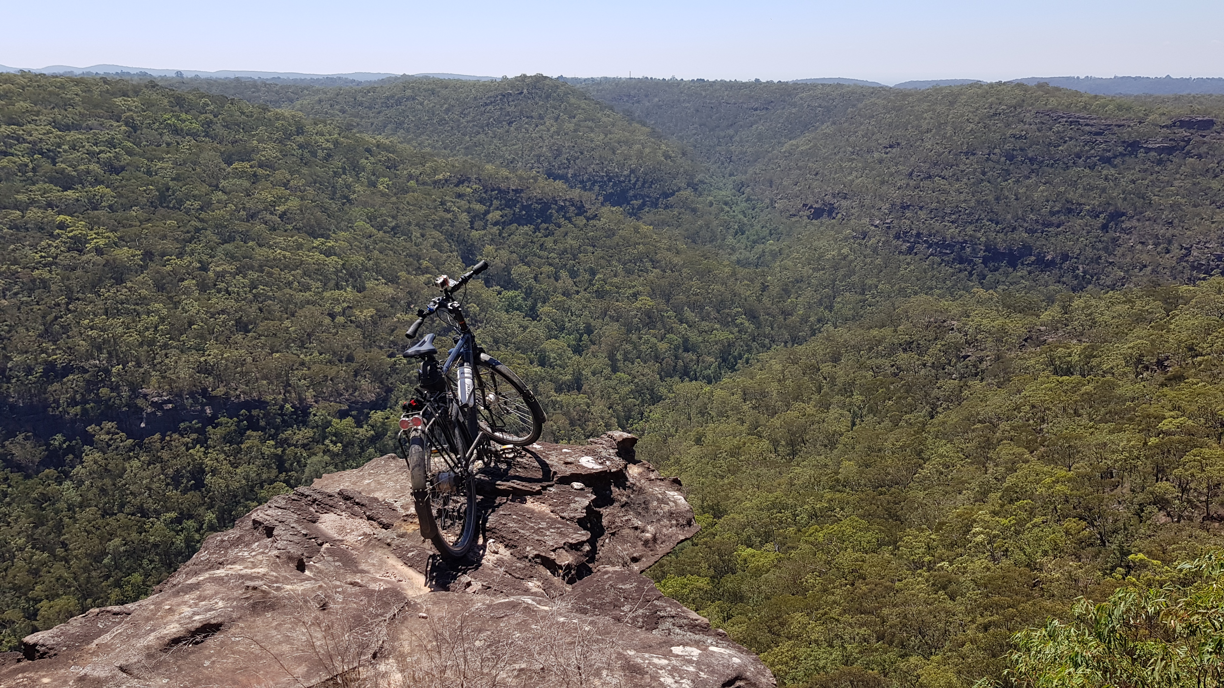
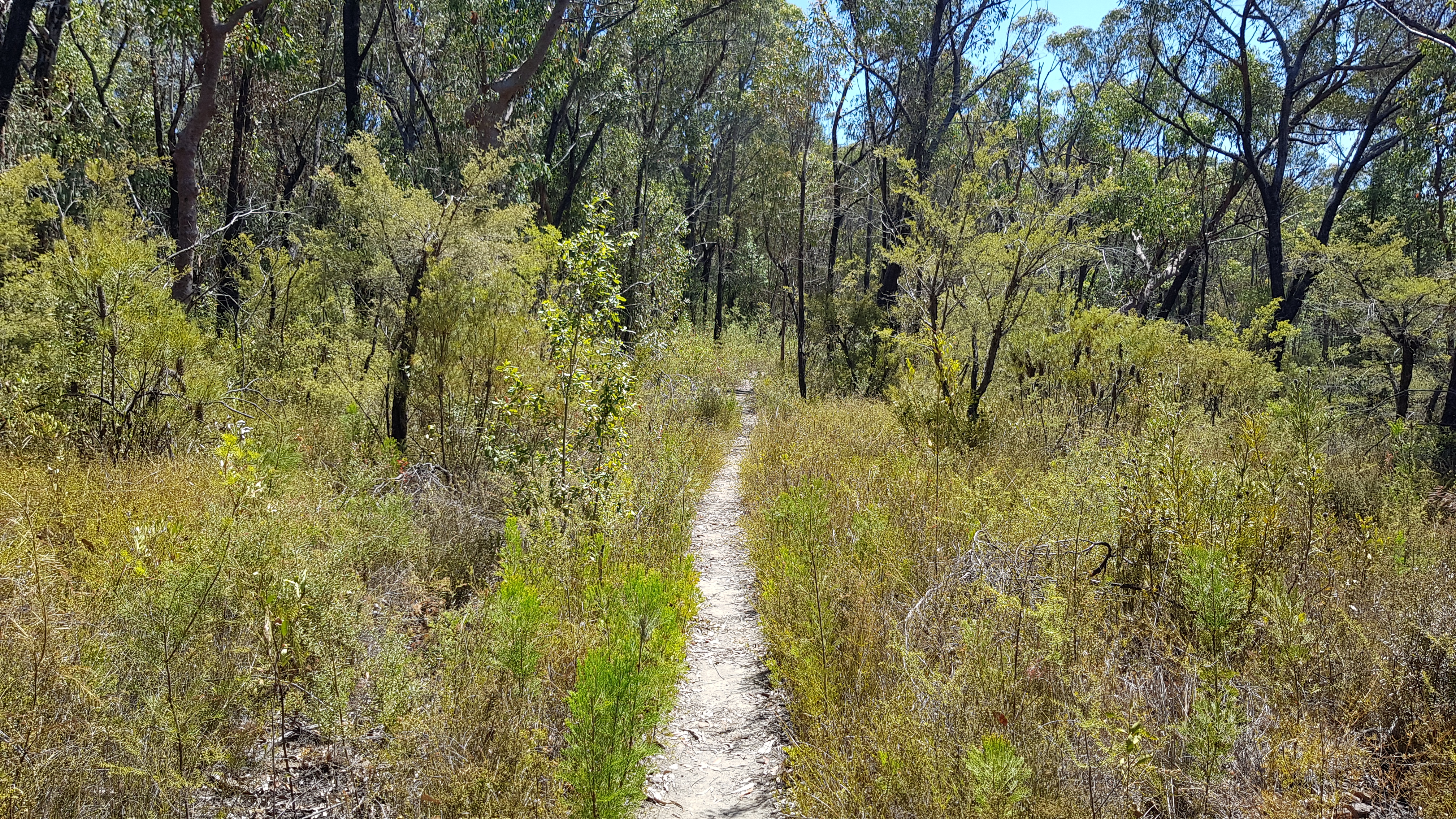
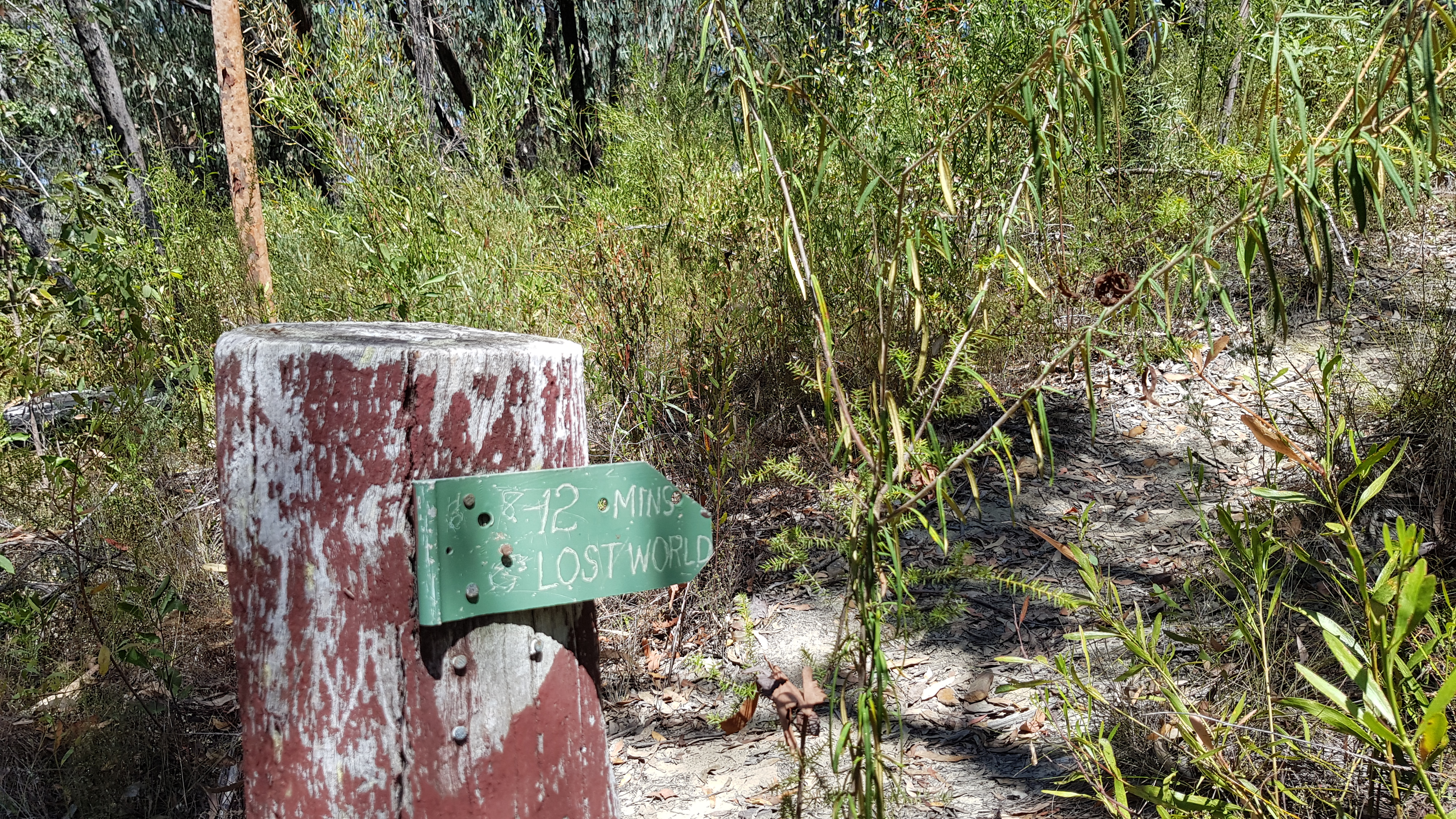
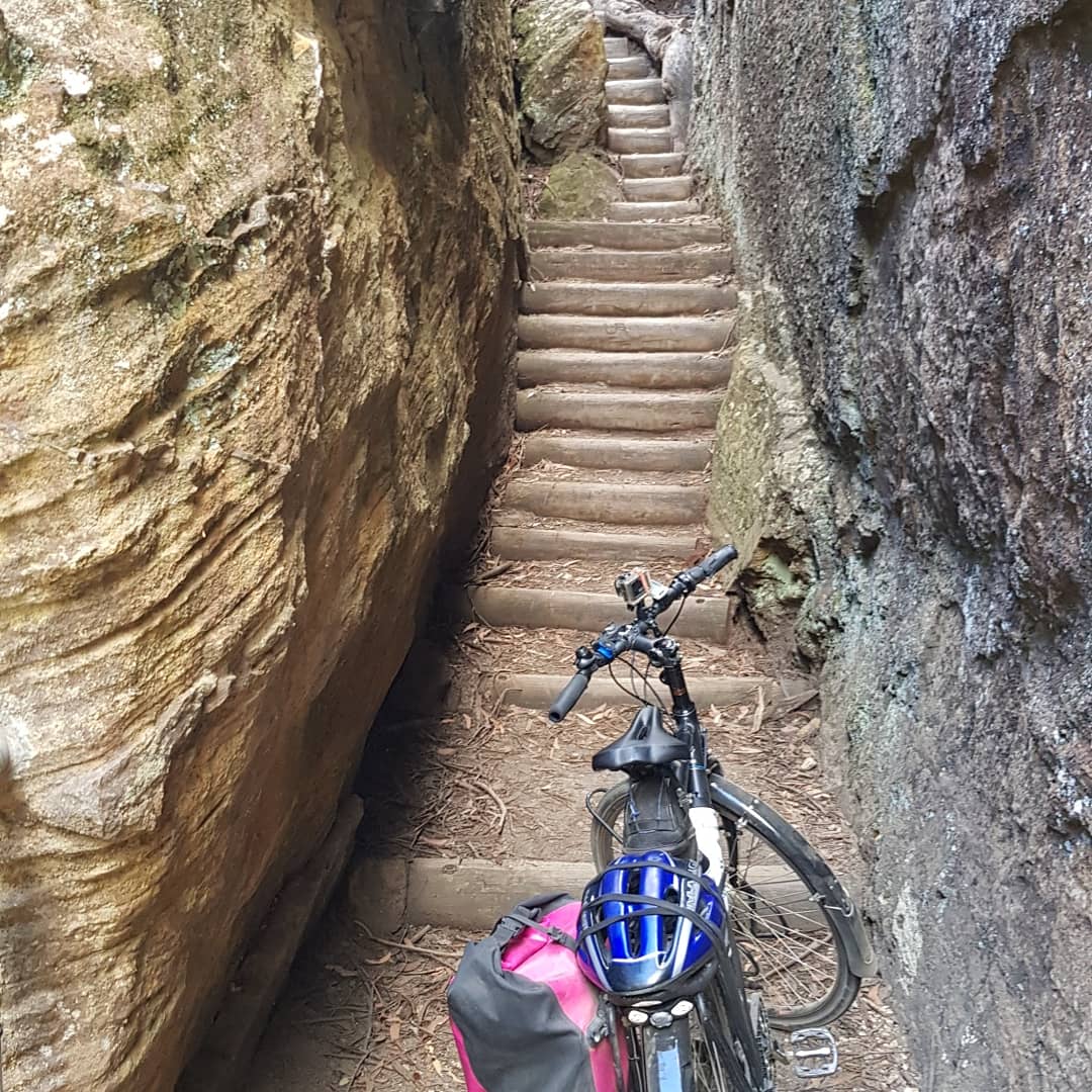
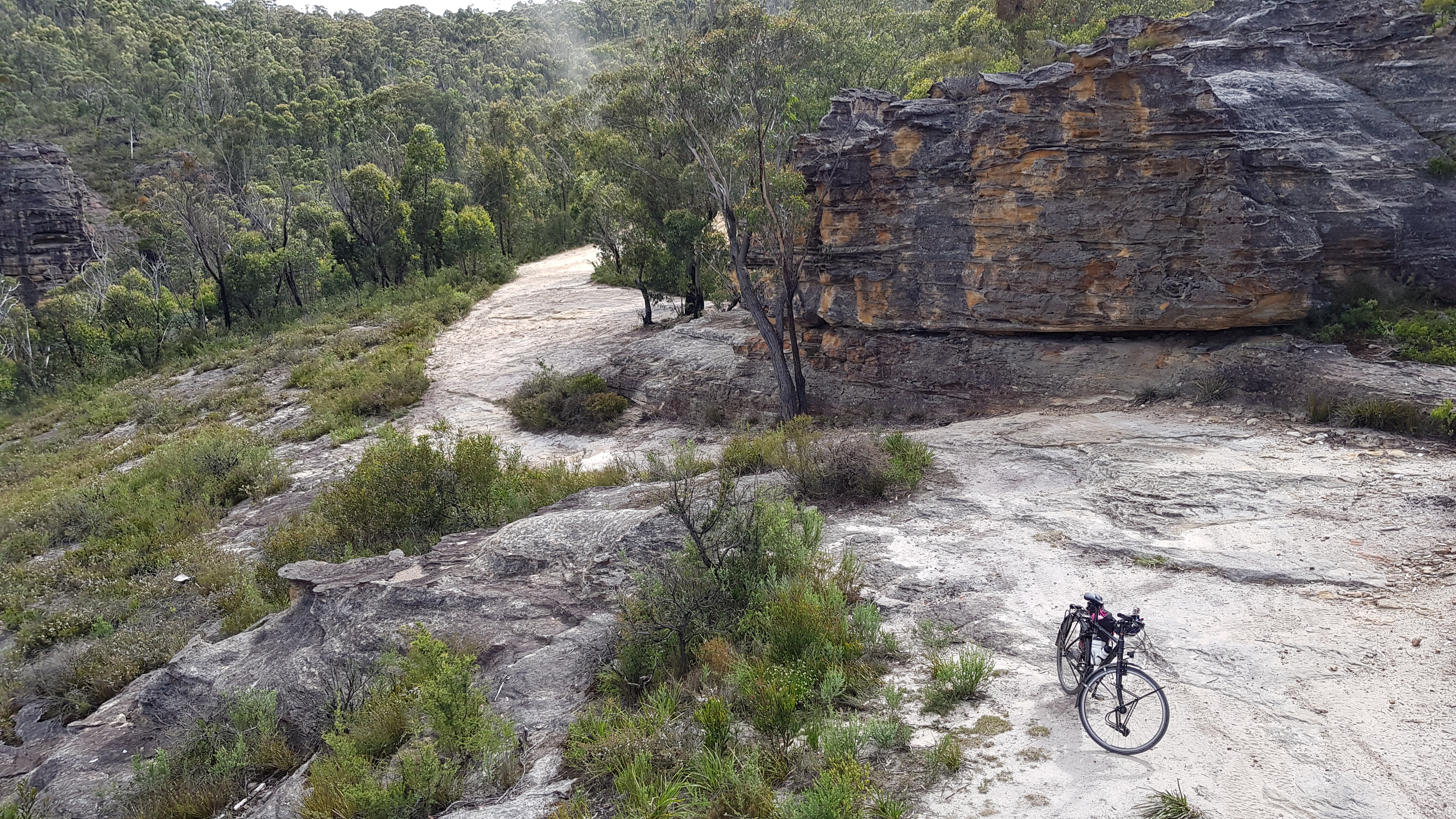
Going backwards in time through the day, to get to the Wolgan Valley, I had to descend from the Newnes plateau, where I passed through the Glowworm tunnel (I’ll come to that). The plateau comes abruptly to a halt at some vertical rock walls. There is a little walking path that makes its way down, but, it involved a little bit of carrying the bike.. 🙂

Down to the Wolgan Valley

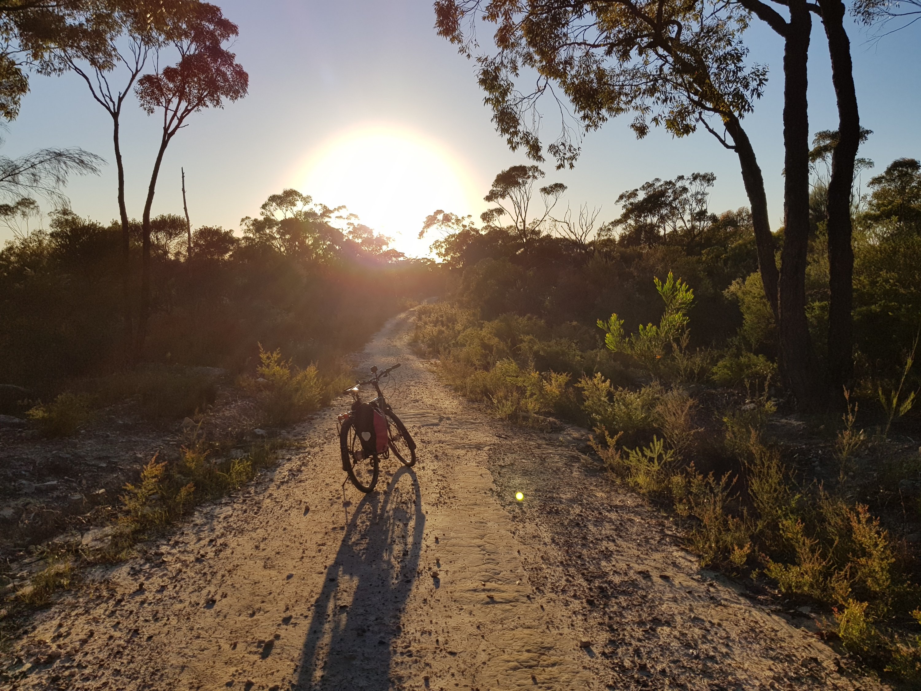
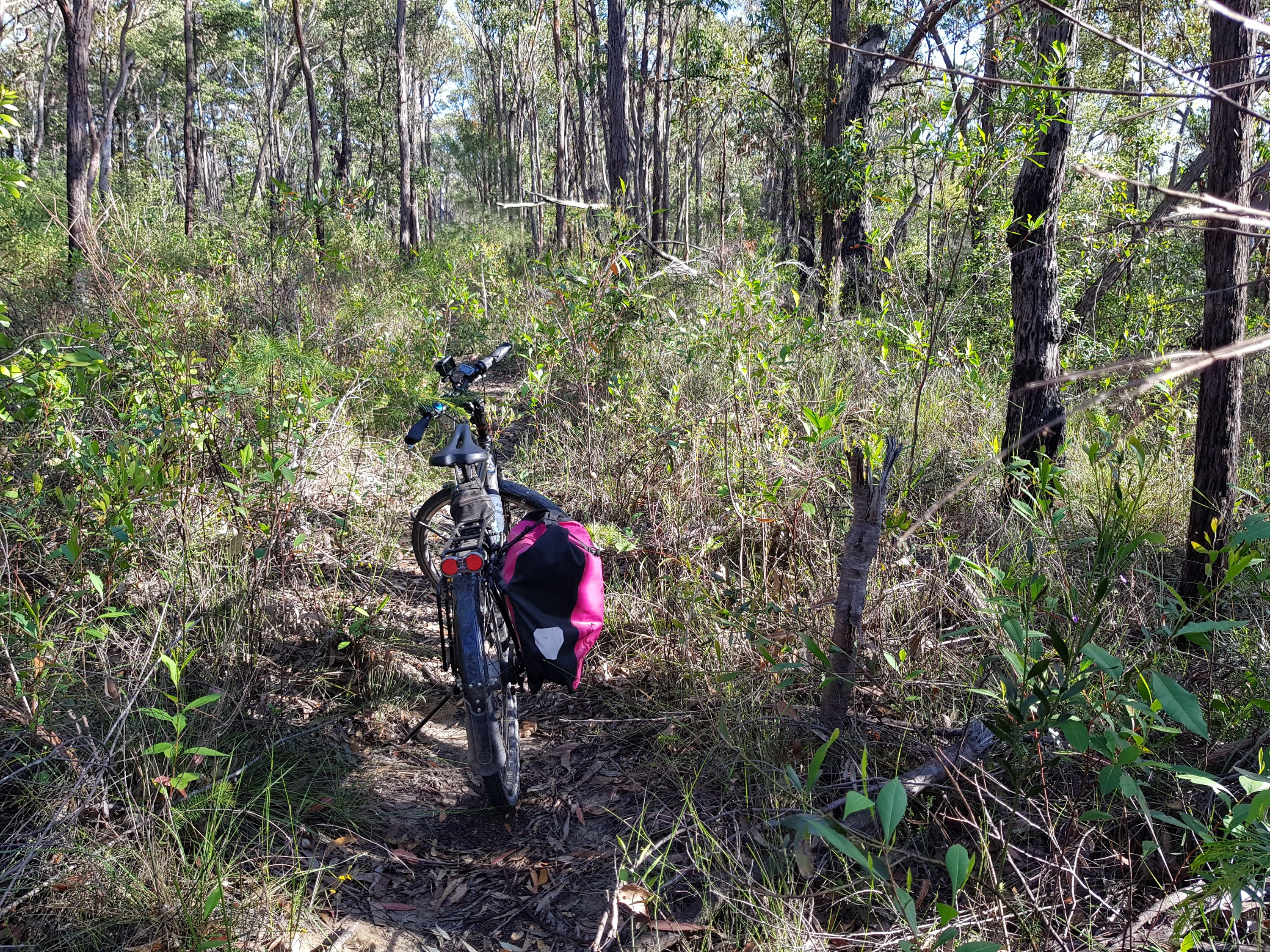
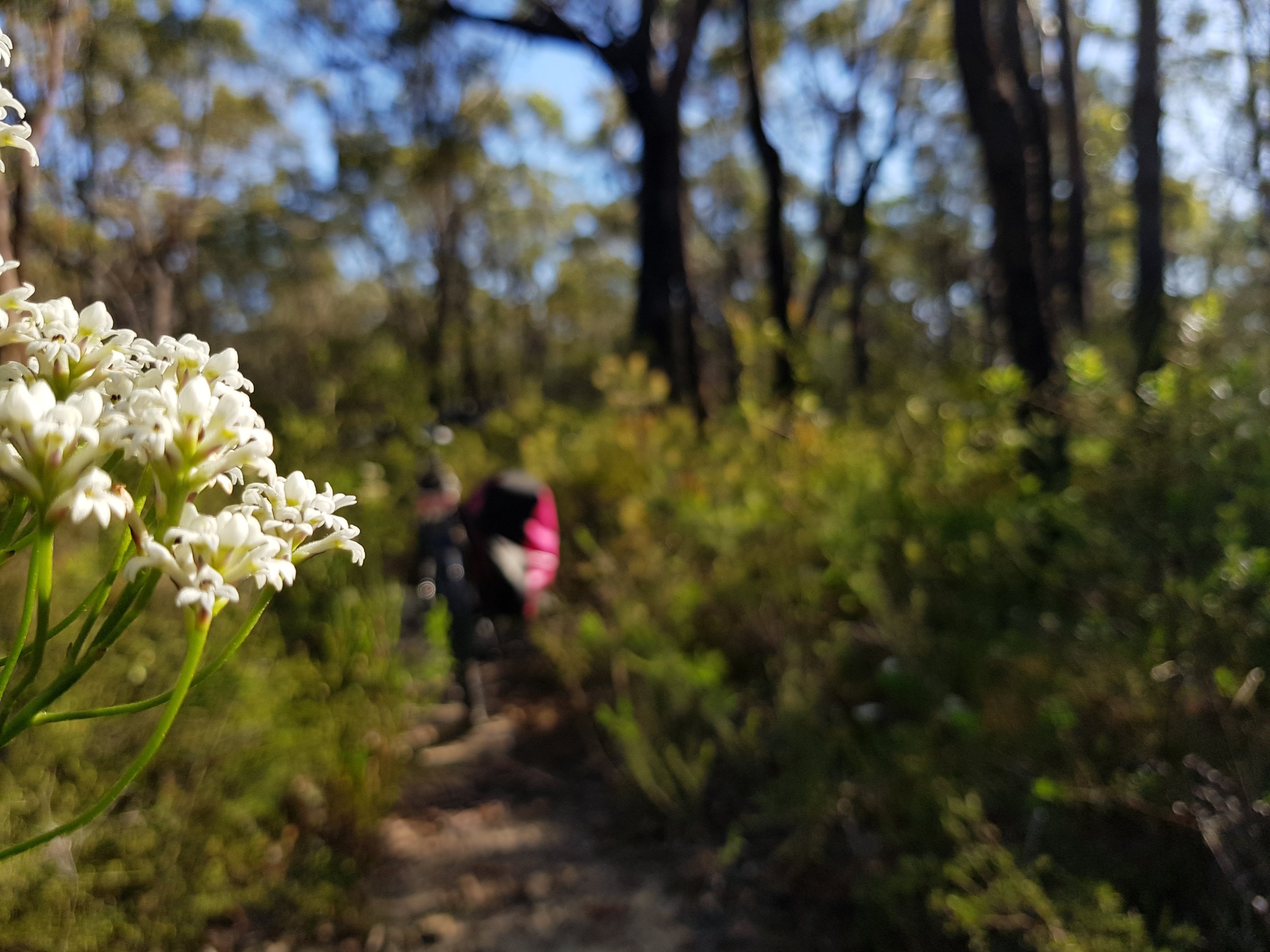
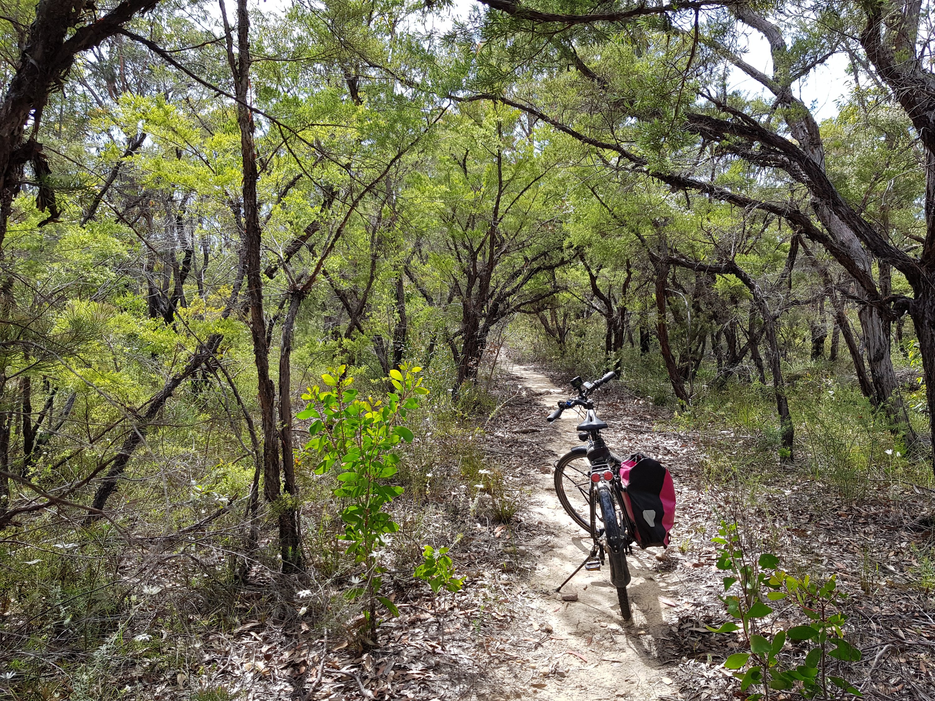
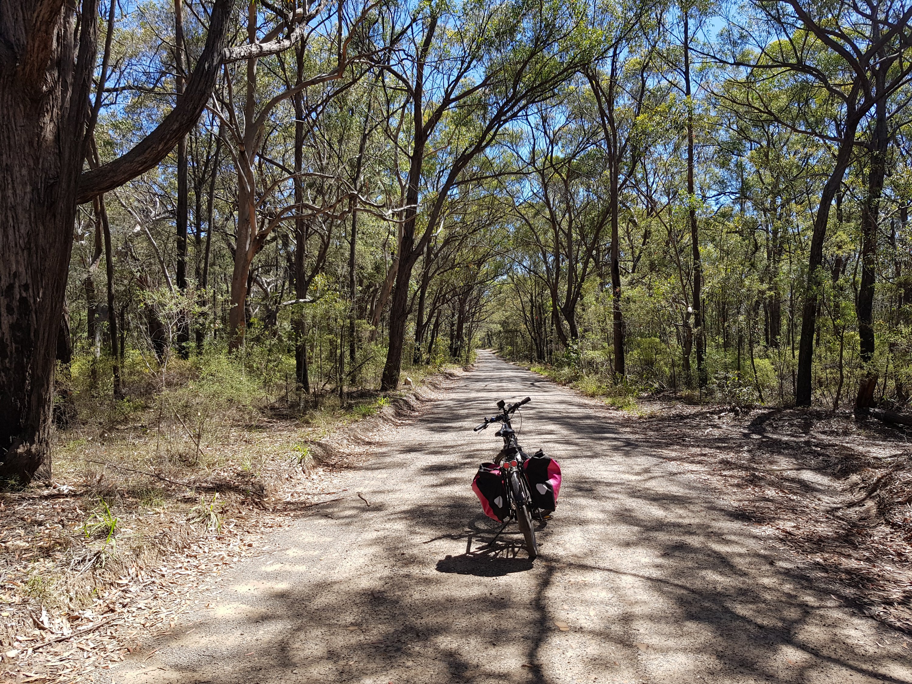
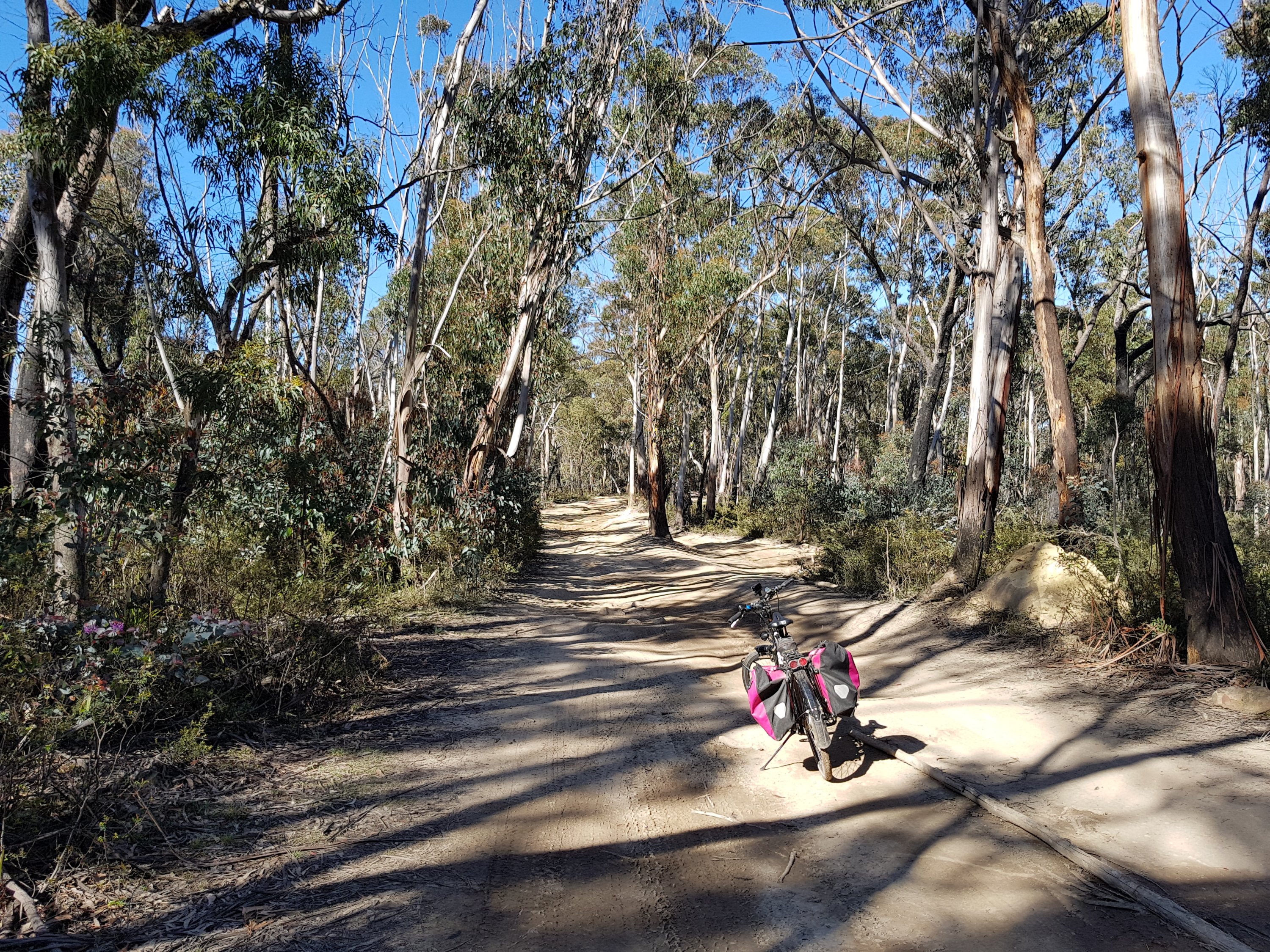
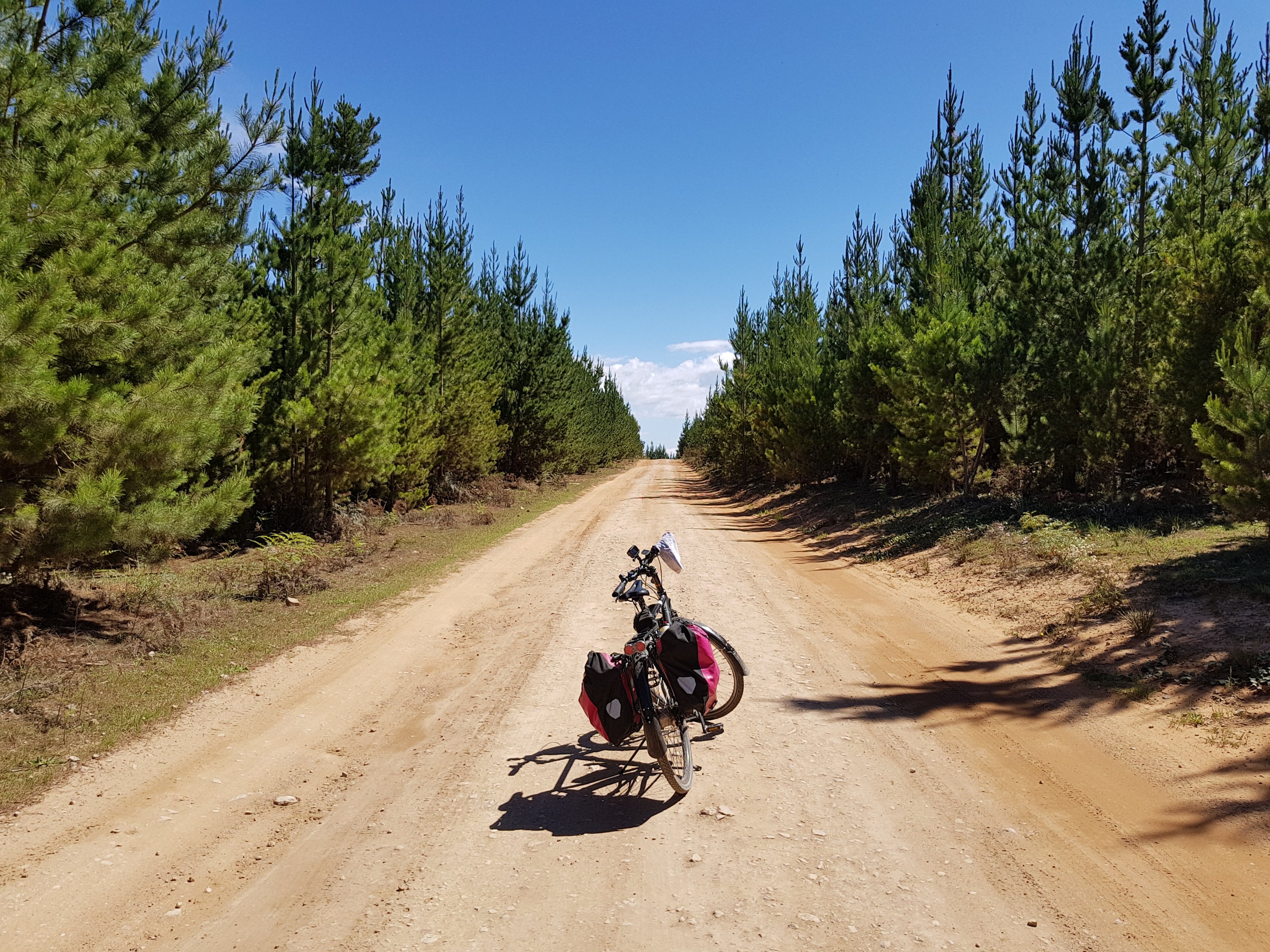
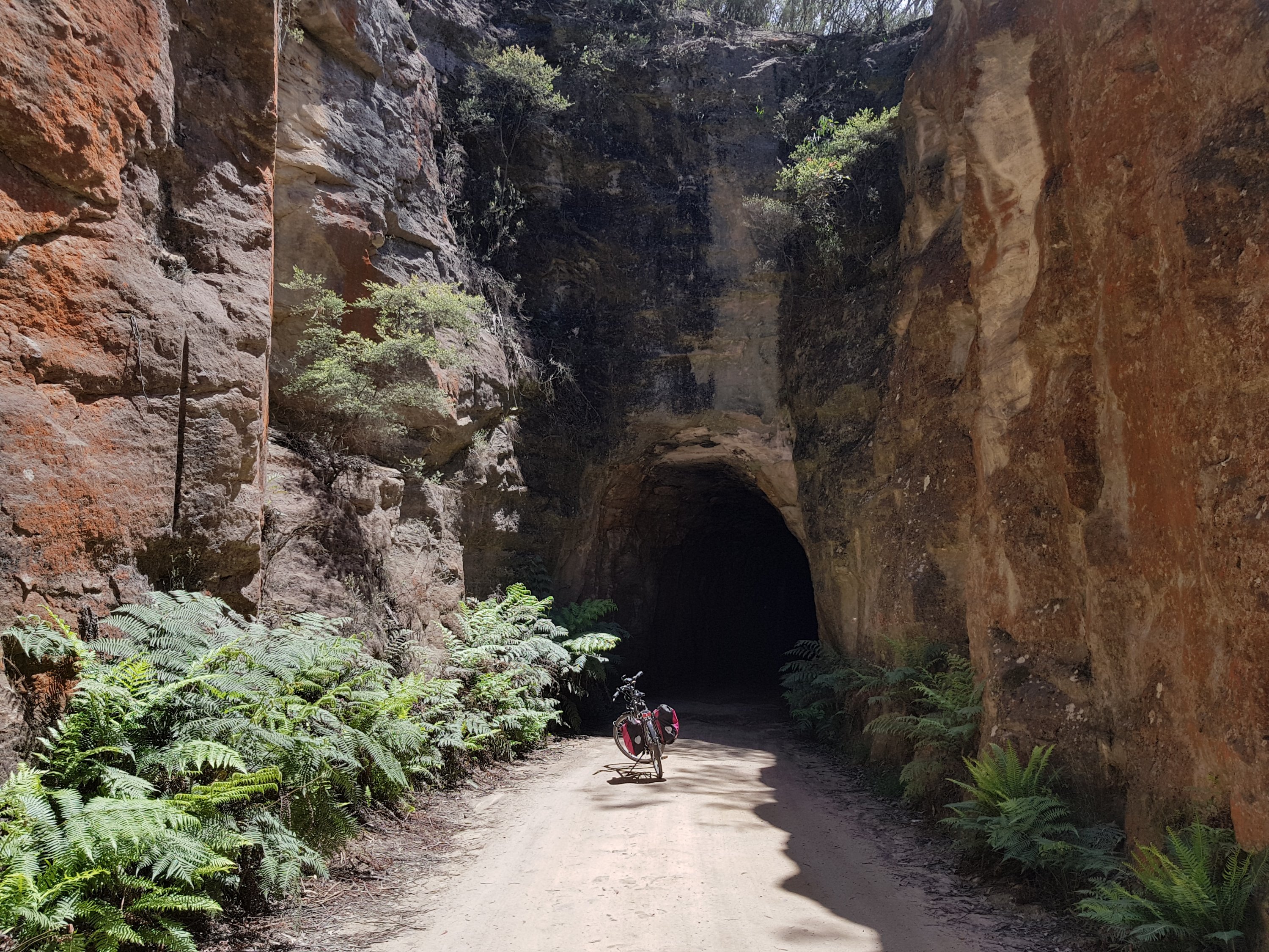
Approaching the Glowworm tunnel
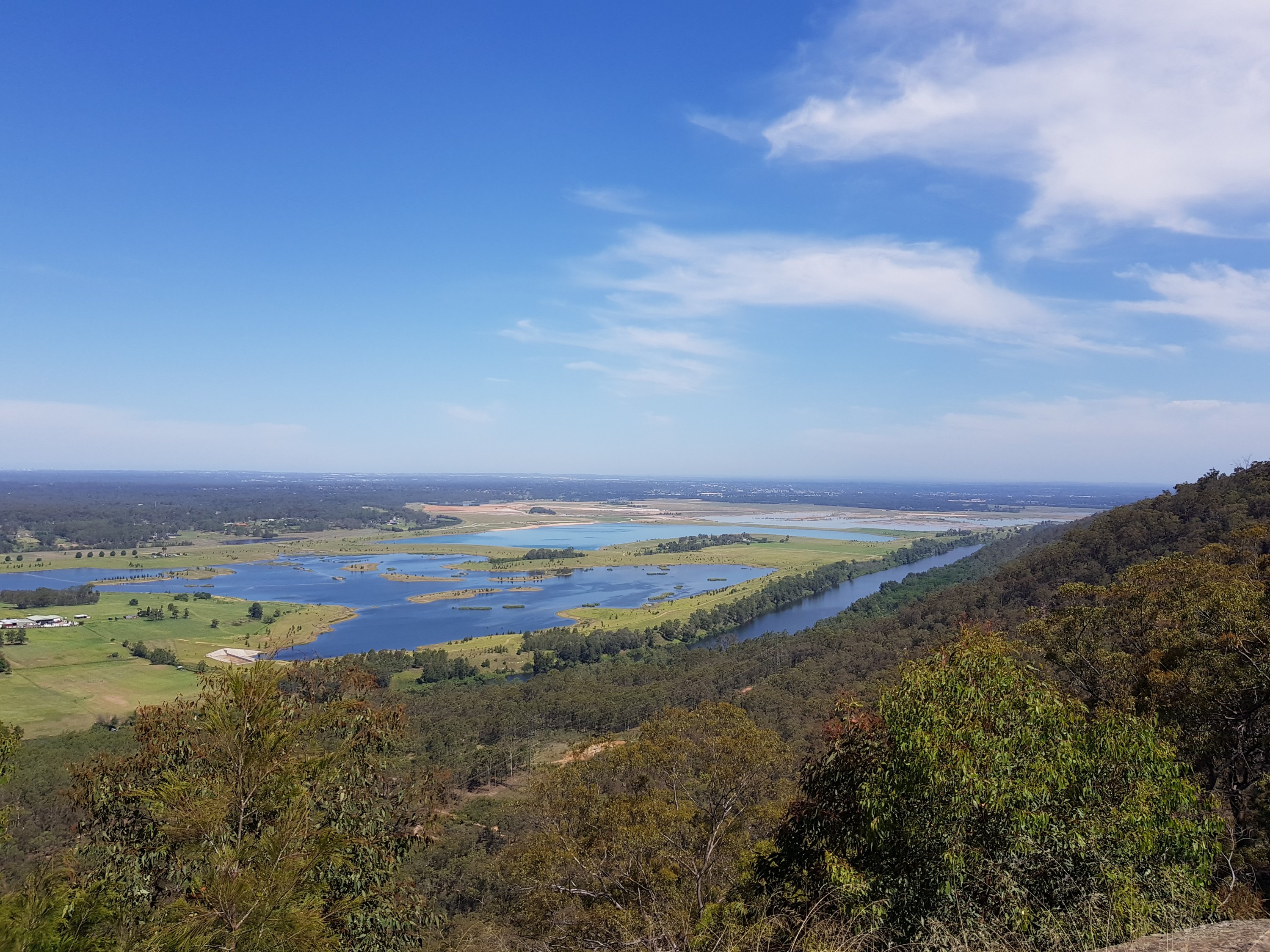
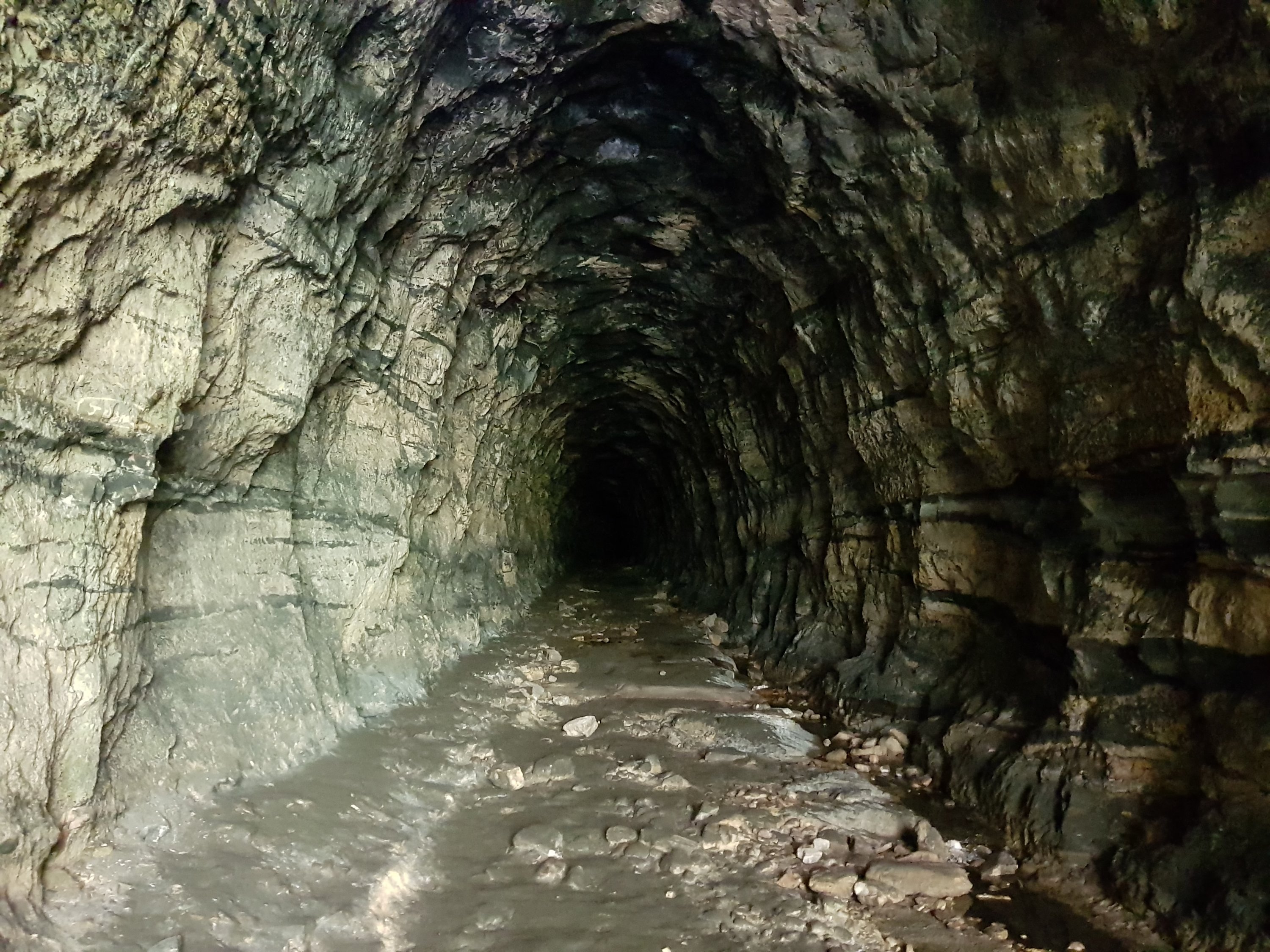
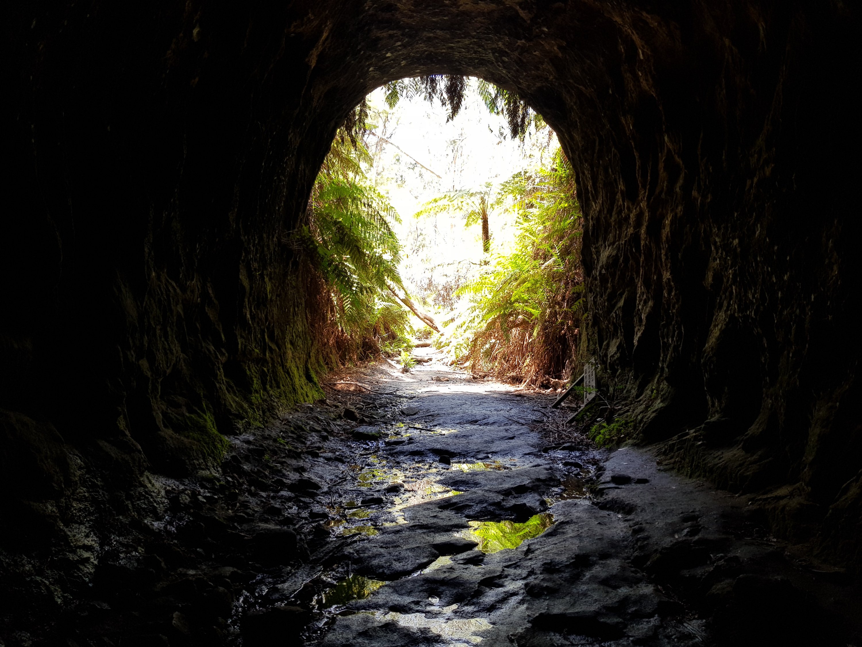
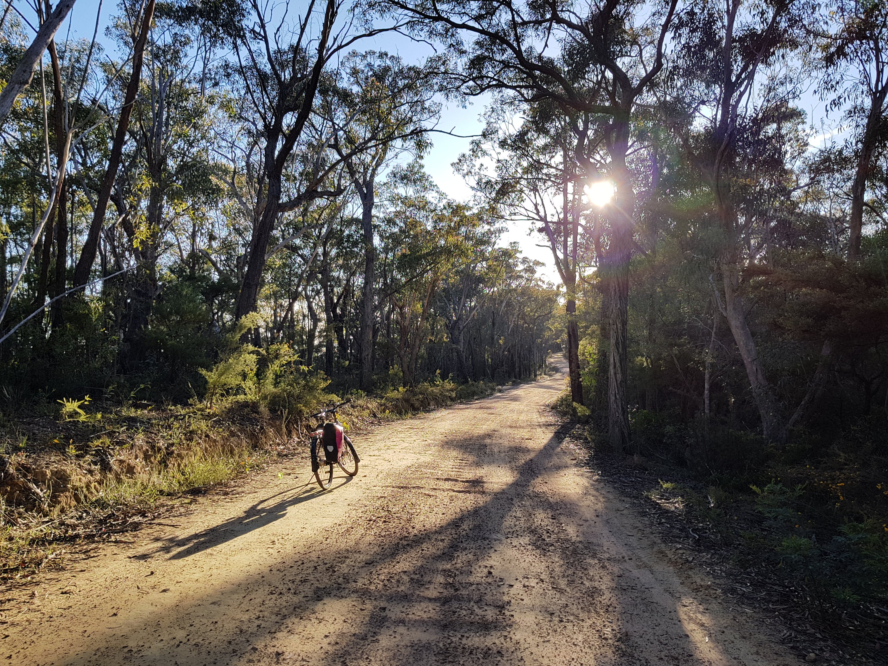
The actual trip was inspired by a turn-off I passed last week to the ‘Glow worm tunnel’. That sounded too good to miss. The glow worm tunnel is at the end of a 35km dirt road from Lithgow that passes over the Newnes plateau. In the middle of the tunnel, total darkness reigns. After a few minutes, when the eyes adjust, little green points of light appear. Everywhere. Like millions of stars in the night sky, the glow worms dot the blackness with life.

The Glowworm tunnel

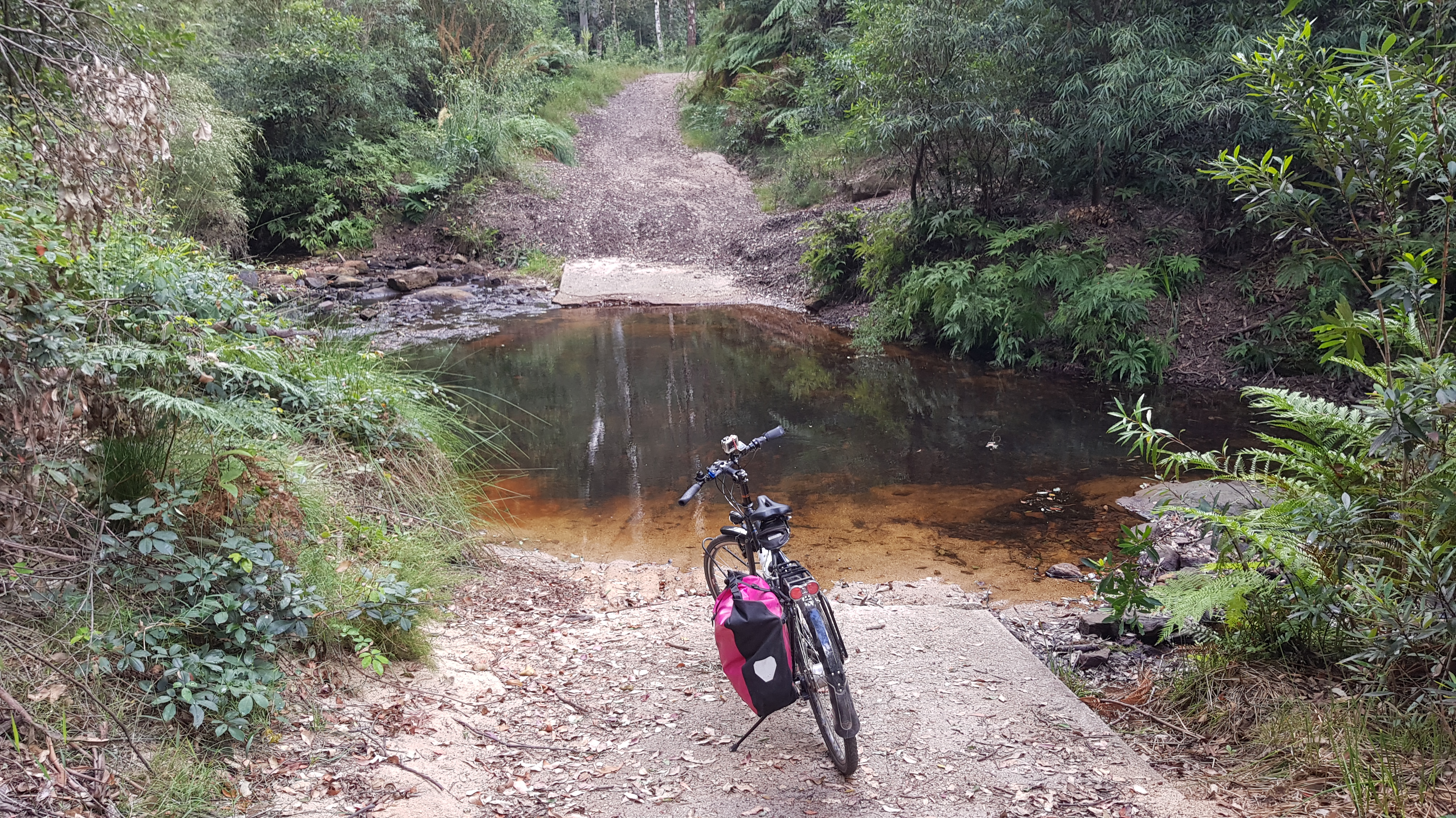
Entrance to another tunnel

A palm paradise

Approaching the Glowworm tunnel

Approaching the Glowworm tunnel

Approaching the Glowworm tunnel