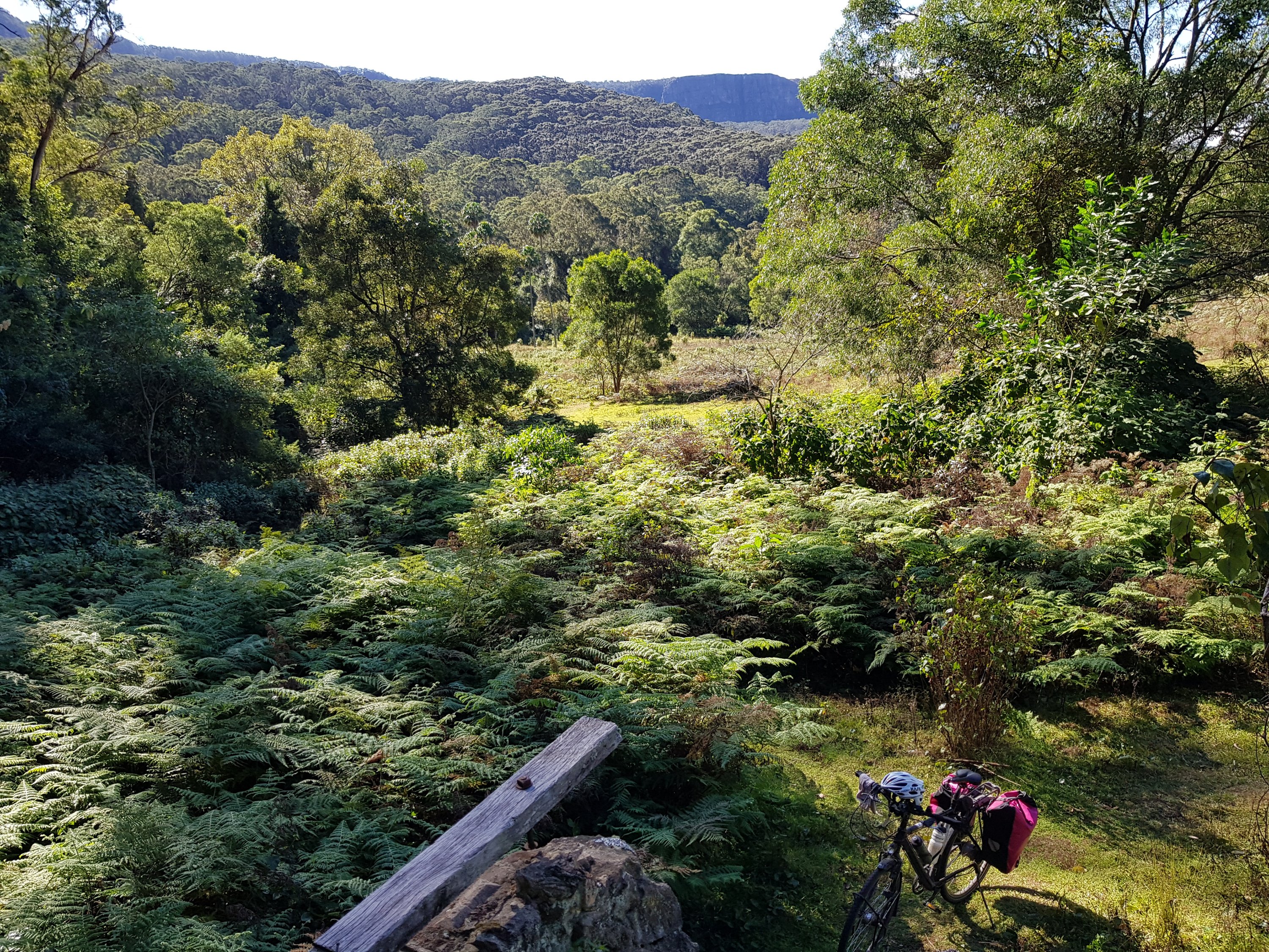
The dog stopped barking when he saw me, ran up to me, and gave me a big lick on the leg. He then sat on my lap, trying to lick my face as I relaxed under the trees looking out at the 40 year old eucalyptus tree.

Comunidad Gren

Comunidad Gren

All this green had popped up out of an absolute barren moonscape. Not a blade of grass and then, suddenly, trees and signs of life on the side of the road. Comunidad Gen. An old lady came out of a hut under the trees. She talked and talked in Spanish – happy to see someone. Noone ever comes during the week. Have I seen the chickens, goats, rabbits and ducks? The water for all this is transported from the coast. She has been here from the beginning, and planted that eucalyptus tree 40 years ago. She was proud of the project and happy with life.

Comunidad Gren

Comunidad Gren

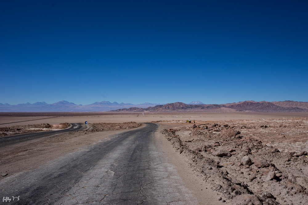
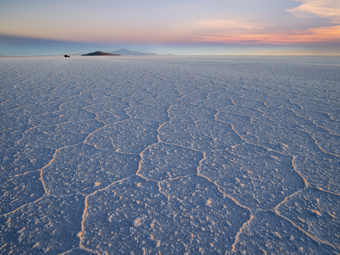
It was hot today and the sun was just so strong. Not a cloud in the sky. Nothing but blue sky and bright sand. I would stop under the shade of road signs to put more sunscreen on and had lunch in the shade behind a truck weigh station building.
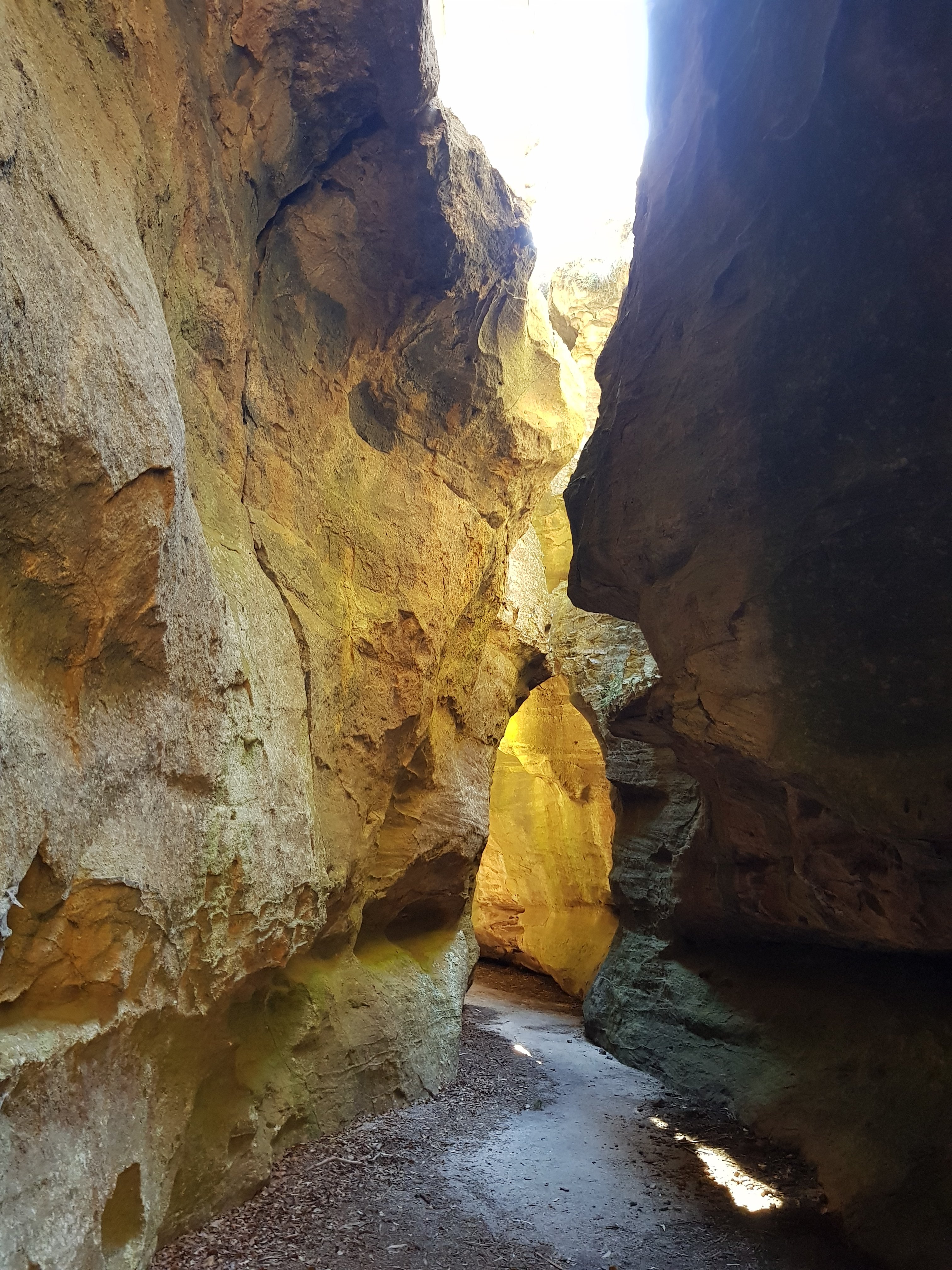
Near Comunidad Gren

Near Comunidad Gren

Near Comunidad Gren

Near Comunidad Gren

I passed the Tropic of Capricorn as I was blown forward by a strong tailwind.

Tropic of Capricorn

Tropic of Capricorn

I’m in Baquedano – a mining town. It has a bit of a wild west frontier feeling. It’s the last stop before I leave the main road and head towards the small town of Peine – 208km away.

Baquedano

Baquedano

Baquedano

Baquedano

Baquedano

Baquedano


‘Give me a tip. 20,000 or 40,000 – it’s up to you.’ ($A40 or $A80). What could I do? He had my bike.

How did this happen?

‘Antofagasta?’
‘Yes,’ I replied, bike and luggage in hand at Santiago airport, freshly out from customs, just through the sliding door.
‘You’re going to be late!’
That’s when the whirlwind started.
He whisked me away, up lifts, across hallways, jumping queues.
My bag was dropped off at the check-in and the bike was whisked away to oversized luggage by his colleagues while we ran to security.
He also took me past the ATM. I wanted to go to one anyway.

So, my bike with his colleagues somewhere back there and security ahead, he asked for a tip. And not a small one. I only had large denomination notes and he knew it. He had been helpful. He was an airport official. But asking for the tip made me wonder if my bike was going to arrive in Antofagasta at all.

I used my newly refreshed Spanish at the gate to check that the luggage was, indeed, on the plane.

Nothing bad had happened. Lesson learned. Be careful.

The bike arrived in one piece and survived me putting it together.

My evening and next day in Antofagasta was spent sitting on the balcony, getting provisions for crossing the Atacama Desert and watching kids dance in large square.

View from my balcony

View from my balcony

A nice lawn for urination

A nice lawn for urination

The dancing kids

The dancing kids

It seemed that the dancers were all teenage girls, some non-binary kids and effeminate guys. Quite an interesting mix.

Tomorrow the bike trip starts – up and out of Antofagasta and into the Atacama Desert.


It was a camping expedition – not so much of a cycle. Train to Lithgow. Short cycle. Test the drone. Test the stove. Test the tent. Test the sleeping bag.

Lost city is spectacular and it was a beautiful evening. The equipment works – although I rushed home to buy a warmer down jacket. 🙂 Now I am ready for Chile and Bolivia.


In a few weeks time I will be cycling across the driest desert in the world in Chile and up onto high altitude plains studded with volcanos and brightly coloured lakes with flamingos in Bolivia. Then its across the Salar de Uyuni – a huge dry salt lake that stretches off into the horizon. Here is the planned part of my route (several different options) before I take the main road to La Paz. Let me know if you have any suggestions.

Thanks to some great blogs with very useful resources for the trip.


Laguna Colorada

Laguna Colorada. Image from https://www.etnikuschile.com/bolivia

Sydney Summer Rides video

Posted: August 6, 2019 in Uncategorized

There is so much amazing nature at Sydney’s doorstep, and its just a train and bike trip away. In the summer of 2018-19 I made a series of Sydney day cycle trip videos, and have put them together into a collection video. Take a look at the video, and read more about the individual trips.


The Grand Canyon walk in the Blue Mountains is a very popular 3-4 hour walk. What fewer people know are the little side trips deep into the gorge, away from the hoards and into the bosom of nature.

The start of the trip is a short cycle from Blackheath station in the Blue Mountains.

Start: Blackheath Station
End: Blackheath Station
Total distance: 20km
Strava link

At the start of the Grand Canyon walk

At the start of the Grand Canyon walk

The main path drops down into the valley. At two points, rather than following the sign to the canyon walk, go in the opposite direction upstream. It is beautiful.

Upstream in the Grand Canyon

Upstream in the Grand Canyon

The light penetrates into the Grand Canyon

The light penetrates into the Grand Canyon

A bit of scrambling over logs

A bit of scrambling over logs

You can only get so far going upstream until a swim is required. Being a bloody cold day, I made this the end of my little foray.

A cold dip

A cold dip

The Grand Canyon

The Grand Canyon


The days are getting very short and winter is setting in. Jump Rock was on the menu today – a beautiful spot on the Macquarie Creek where the water tumbles over some rocks into a little pool – ideal for jumping in the summer. Then I cycled further up the creek past Clover Hill to a series of waterfalls, ending in Clover Falls.

Start: Albion Park Station
End: Albion Park Station
Total distance: 50km
Strava link

A short ride from Albion Park station up towards the Macquarie Pass.

The road to Macquarie Pass

The road to Macquarie Pass

Then a little hiking trail following the Macquarie Creek up towards Jump Rock.

Towards Jump Rock

Towards Jump Rock

Jump Rock

Jump Rock

Jump Rock

Jump Rock

Then, a little further upstream, is the path that passes an old clearing and an abandoned house on Clover Hill.

Towards Clover Hill

Towards Clover Hill

Towards Clover Hill

Towards Clover Hill

Clover Hill

Clover Hill

From the ruin at Clover Hill

From the ruin at Clover Hill

After Clover Hill the path returns to the Macquarie Creek and past a few waterfalls. The last one – Clover Falls – takes a bit of scrambling to reach. Well worth it though.

Rainbow Falls

Rainbow Falls

Rainbow Falls

Rainbow Falls

Rainbow Falls

Rainbow Falls

Clover Falls

Clover Falls


With the Blue Mountains trains not running due to track works, I decided to venture south again, cycle 6km from Tahmoor station and spend the day walking to Mermaids Pool and through the Bargo Gorge. Catching the first train in the morning meant that I had the whole beautiful gorge to myself.

Start: Tahmoor Station
End: Tahmoor Station
Total distance: 20km
Strava link

It is a fairly easy walk along the valley, and sometimes above it, to the beautiful Mermaids Pool. The fresh cool water slips over flat slabs of rock and over a waterfall down to the pool below.

The Bargo River just after sunrise

The Bargo River just after sunrise

Sink hole

Sink hole

Rocks in the sun

Rocks in the sun

Don't jump

Don’t jump

Mermaids Pool

Mermaids Pool

Mermaids Pool

Mermaids Pool

After the pool there is a loop path that ventures further downstream through the Bargo River Gorge. With vertical cliffs on either side, beautiful flat rocks and clear water slipping through the gorge, it was a beautiful walk in the early morning light.

Bargo Gorge

Bargo Gorge

Bargo Gorge

Bargo Gorge

There was no chance of getting lost or slipping on a descent. There were guide ropes at any slight downhill section, and there were blue ribbons galore on every second tree marking the way.

After a few kilometres the path climbs to the top of the gorge and treats the walker to views from above.

A walk well worth doing!


With winter coming, long bike trips are being replaced by shorter hikes near train stations. Victoria Falls is only 6km from Mount Victoria station, but, at 8am there is no-one there. A little side track leads to the beautiful Asgard and Thor Heads which look out over the amazing Gross Valley.

Start: Mt Victoria Station
End: Mt Victoria Station
Total distance: 30km
Strava link

It is always beautiful cycling in the crisp morning sun when everyone else is still asleep. The soft orange glow makes the bush vibrate with morning freshness – eager for the day to begin.

The road to Victoria Falls

The road to Victoria Falls

At the end of the road is a path that winds its way down to the cascades, and then the top and bottom of Victoria Falls.

The path to Victoria Falls

The path to Victoria Falls

The cascades

The cascades

The top of Victoria Falls

The top of Victoria Falls

Victoria Falls

Victoria Falls

Victoria Falls

Victoria Falls

A little side track lead to Asgard Head.

The side track to Asgard Head

The side track to Asgard Head

Asgard Head

Asgard Head

Asgard Head

Asgard Head

Near Asgard Head is the deserted Asgard mine. Coal was never mined there, but there is a cool little tunnel into the side of the cliff face.

Asgard Mine

Asgard Mine

Asgard Mine

Asgard Mine

Asgard Mine

Asgard Mine

Thor Head is just around the corner and as impressive as Asgard Head.

Thor Head

Thor Head


A second in the series of Bikes and Canyons, this time, a pleasant cycle from Lithgow towards the Glowworm Tunnel and down a dry, dark canyon to burst out to a beautiful place with an amazing view over the Wolgan Valley.

Start: Lithgow Station
End: Lithgow Station
Total distance: 70km
Strava link

Canyoning usually involves abseiling down cliffs and waterfalls, scrambling over slippery rocks and logs and wading and swimming in narrow, beautiful canyons surrounded by tall walls of rock on either side. As much as all of this is very appealing, I chose Dry Canyon on this cold day as a winter trip one I could do without getting too cold and wet, and one I could safely navigate by myself.

The trip to the canyon is a 35km jaunt along a beautiful dirt track from Lithgow over the Newnes Plateau.

Newnes Plateau

Newnes Plateau

Newnes Plateau

Newnes Plateau

Newnes Plateau

Newnes Plateau

The path from the car park to the canyon and through the canyon is flat with no challenges at all. You are just left to concentrate on the beauty of your surroundings.

The path to the canyon

The path to the canyon

Dry Canyon

Dry Canyon

Dry Canyon

Dry Canyon

Dry Canyon

Dry Canyon

Dry Canyon

Dry Canyon

Dry Canyon

Dry Canyon

The canyon ends and a quick scramble brings you to a rock sitting over an amazing view over the Wolgan Valley, staring at the beautiful Donkey Mountain.

Wolgan Valley

Wolgan Valley

Seeing this canyon should be classified as bushwalking rather than canyoning. It remains beautiful!