The end is nigh – at least for the European leg of my trip before my winter pause. James needs to be in Istanbul on November 20 and Istanbul is still a long way away. Long kilometres on the main road before we branched off on the smaller road approach into Istanbul. Oh. And I passed 5000km.

The 5000km mark
We aimed at 100km for today. On my North Cape trip, 100km was the minimum goal for a day. Here, with the hilly roads, and little daylight, it is an achievement. We just cycled along fairly uninteresting roads until dusk. No lamb slaughters tonight. Lots of rain and thunder in the night, though. Tomorrow Istanbul.
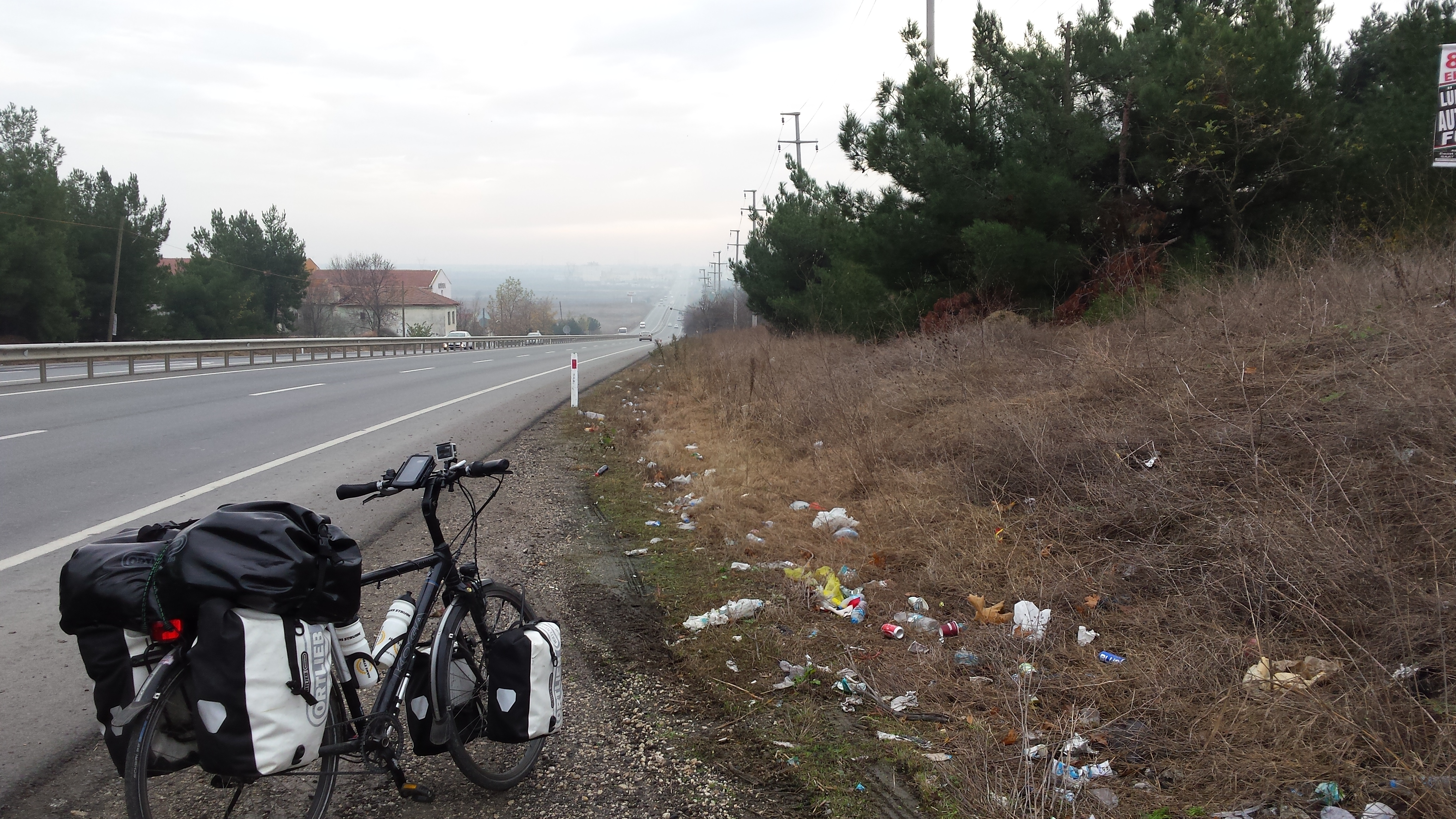
The D100 towards Istanbul

Istanbul 100km

I bet you are both happy and sad to see the end of the first part of the journey! Enjoy it.
What a story about the lambs!
Take care,
Ellen
Hey, Ellen. Yes. It is nice to be in Istanbul. I am really tired though. My body needs a rest after all that cycling and excitement. A really nice trip!
Greetings from Istanbul!
Matthew
Ha Matthew, gefeliciteerd met de mijlpaal van 5000 km! Veel plezier in Istanboel! Hoe lang blijf je daar? Ik kan me voorstellen dat je nu even moet uitrusten van de afgelopen twee maanden. Ga je van daaruit vliegen? Liefs, Barbara
Hoi Barbara. Leuk om van je te horen! Eigenlijk ben ik veel vroeger hier dan ik dacht.. James moest om 20 november hier zijn, en ik dacht, ik fiets even mee. Ik was (en ben nog steeds) van plan naar Galipoli te fietsen. Dat is een belangrijke plaats voor Australiers. Veel zijn in de eerst wereld oorlog daar gesneuveld. Mijn eerste plan was vandaag al te vertrekken, maar, gisteren merkten James en ik, dar we beide helemaal kapot zijn. Ik blijf hier eerst een paar dagen, en daarna fiets ik verder (of misschien neem ik de bus).
Mijn vlucht naar Dubai en dan Australië is eerst op de 5e december.
Groeten uit Istanbul!
Matthew
Wow. 5000km already. Seems like just yesterday I was reading about your preparations.
Yes! Time has flied!! 🙂
Hi! It’s Hugo again. I hope you are enjoying home… and still checking messages. We are still following your steps, slowly approaching Istanbul. I wonder if you could tell me why you chose the road you chose to get there, i.e. I guess the main road was full of trucks, but why going north towards Saray instead of south, towards the sea. Would you recommend the path you chose? If so, would you have a gps track you’d like to share? Thanks and regards
Hi Hugo. Good luck with approaching Istanbul. I must admit, James had done the research on the route into Istanbul, saying that it was the ‘standard’ route into Istanbul. I remember reading about a good route in from Erdine, but can’t find it now.
Anyway, what I do remember is people saying the southern route along the Sea of Marmara is really busy without fallback options.
The D100 from Erdine to Istanbul is moderately busy, but bearable to Lüleburgaz, and on to the point we turned off. I have heard that it gets incredibly busy nearer to Istanbul, and, when we turned off, the traffic density had passed a pleasant and safe level. The D100 is flat when you leave Erdine, but soon becomes quite hilly, undulating up and down, first 30m up and 30m down, but later 100m up and 100m down. Being a 6 lane freeway, it is rather uninspiring, although the wide emergency lane (where we cycled) makes it safe enough.
The road to Saray and beyond is more pleasant, and past Saray, becomes quite rural. From Subasi on, it becomes a 6 lane freeway with almost no cars (1 car every few minutes). This is because there are some roadworks a bit later, and it doesn’t connect to a bridge crossing the Bosphorus (a 3rd bridge over the Bosphorus is being planned). At Göktürk we left the freeway as it had got very busy, and went along a smaller road that follows an uninspiring river past lots of factories and extremely vicious dogs (bring the dog rocks). We came out at Maslak, and after a brief stretch along main freeways, we made it to the Bosphorus. It is easy and safe enough cycling up and down the Bosphorus. There are also no hills there, which is not the case once you leave it.
In short, I would recommend our route. I have not cycled any other routes for comparison, but our route was pleasant enough most of the time, and moderately safe.
You can see every last turn we took on the Google Map embedded into the post. You can also download the kml file if you click on the share button on the map. This map is one tracked using my phone, and then edited to remove the spurious points. If you want the original gpx file (with the spurious points), I can mail it to you. My email is matthew (dot) harris (at) web (dot) de.
Also , you can convert gpx files to kml and back here: http://www.gpsvisualizer.com
All the best!
Matthew
By the way, in Subasi, follow the signs to Kemerburgaz, and don’t go along the small road that looks good on Google Maps. It fizzles out, and is replaced by the freeway. It is, however, only possible to get onto the freeway in Subasi, and not from the small road (at least when we were there – they were building a freeway entrance then. Maybe it is completed now.)
Excellent! Thanks a lot for this detailed info. I’ll download the track… and carry some stones. Thanks again and regards
No worries. Good luck!