Start: Bell Station
End: Leura Station
Total distance: 68km
Strava link
After getting all excited reading about canyoning adventures in the Blue Mountains, I wanted to see if I could get to one of these canyons by bike – at least to the bottom of one. No abseiling required.
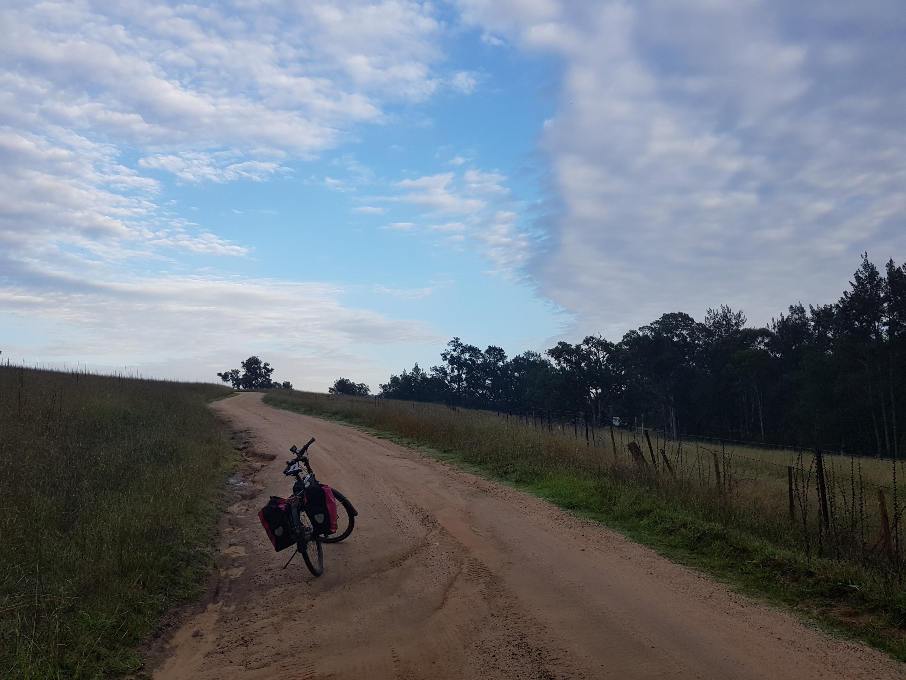
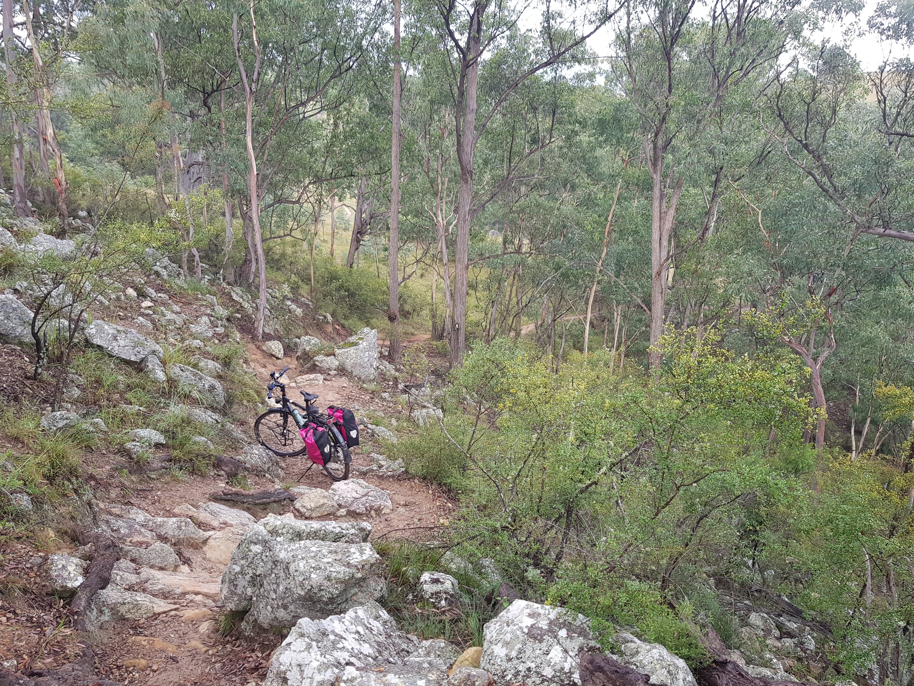
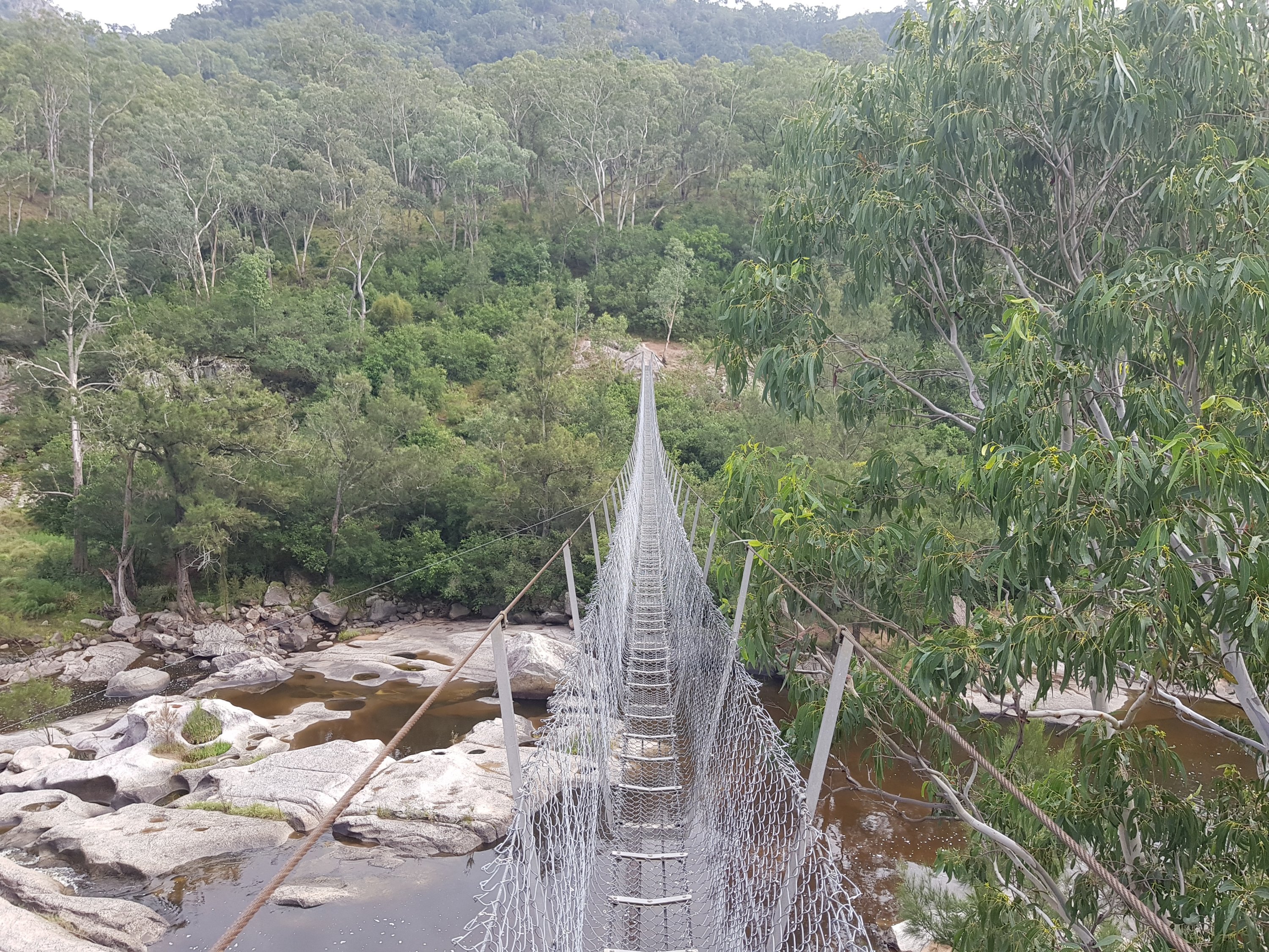
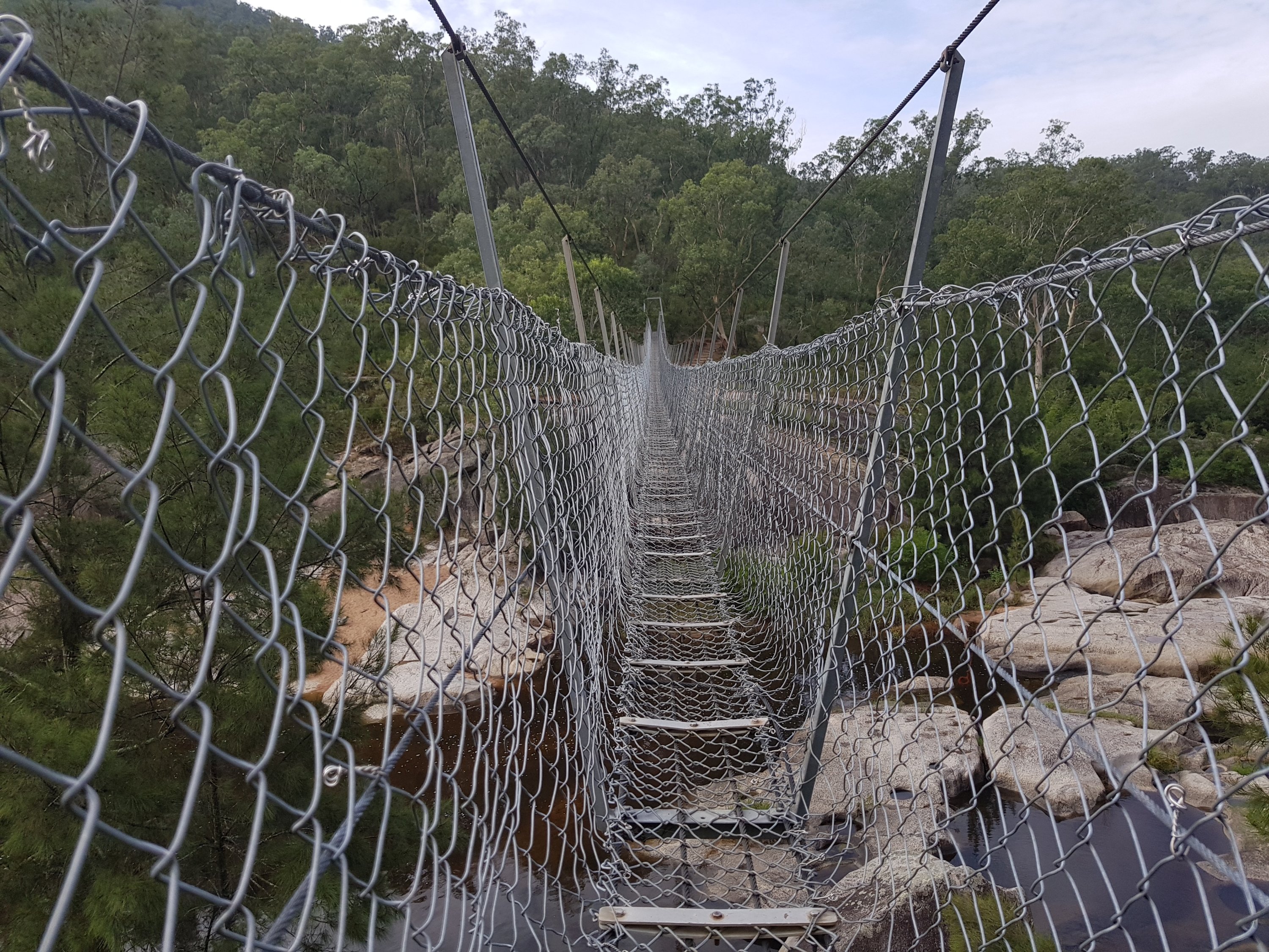
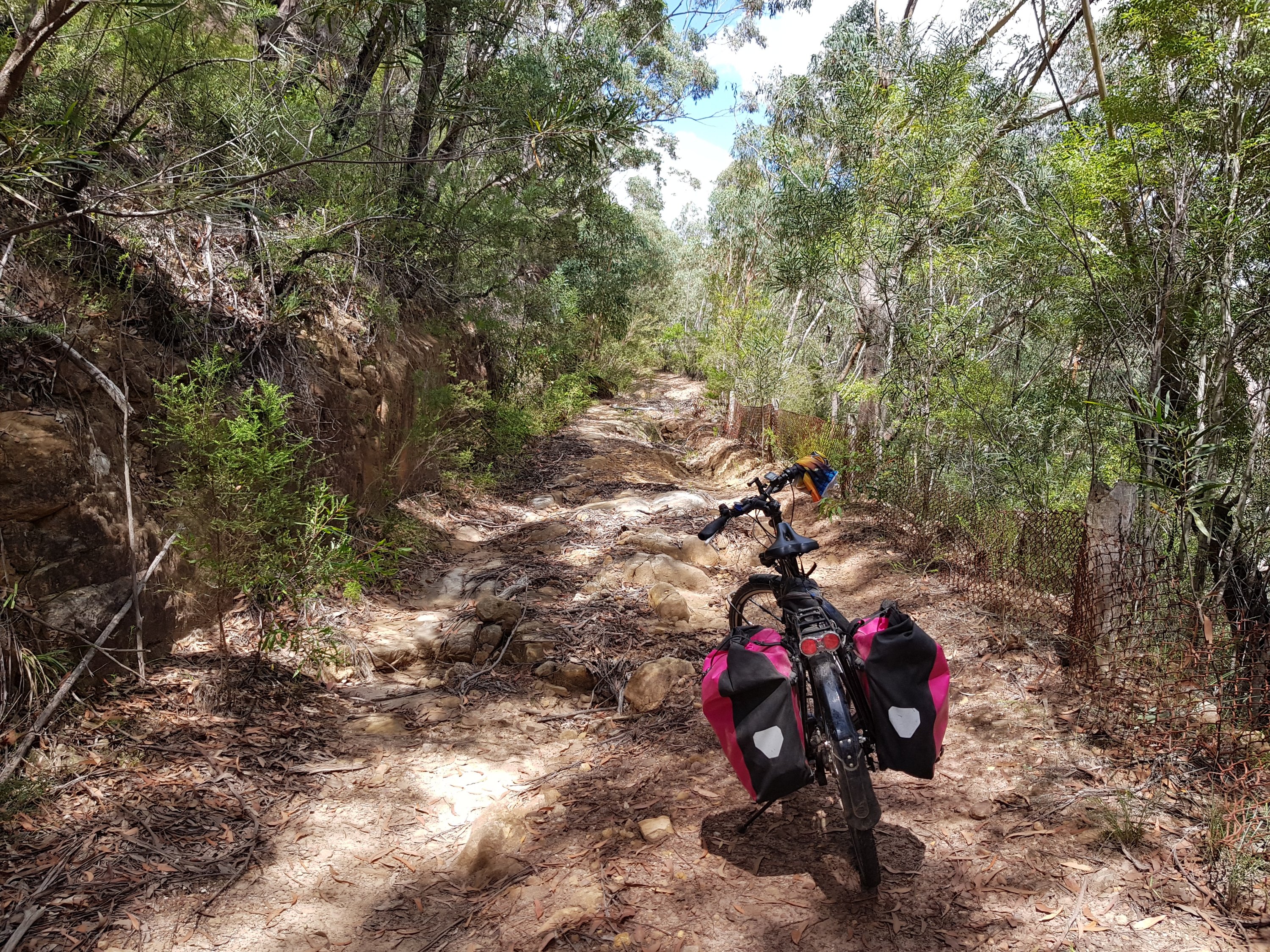
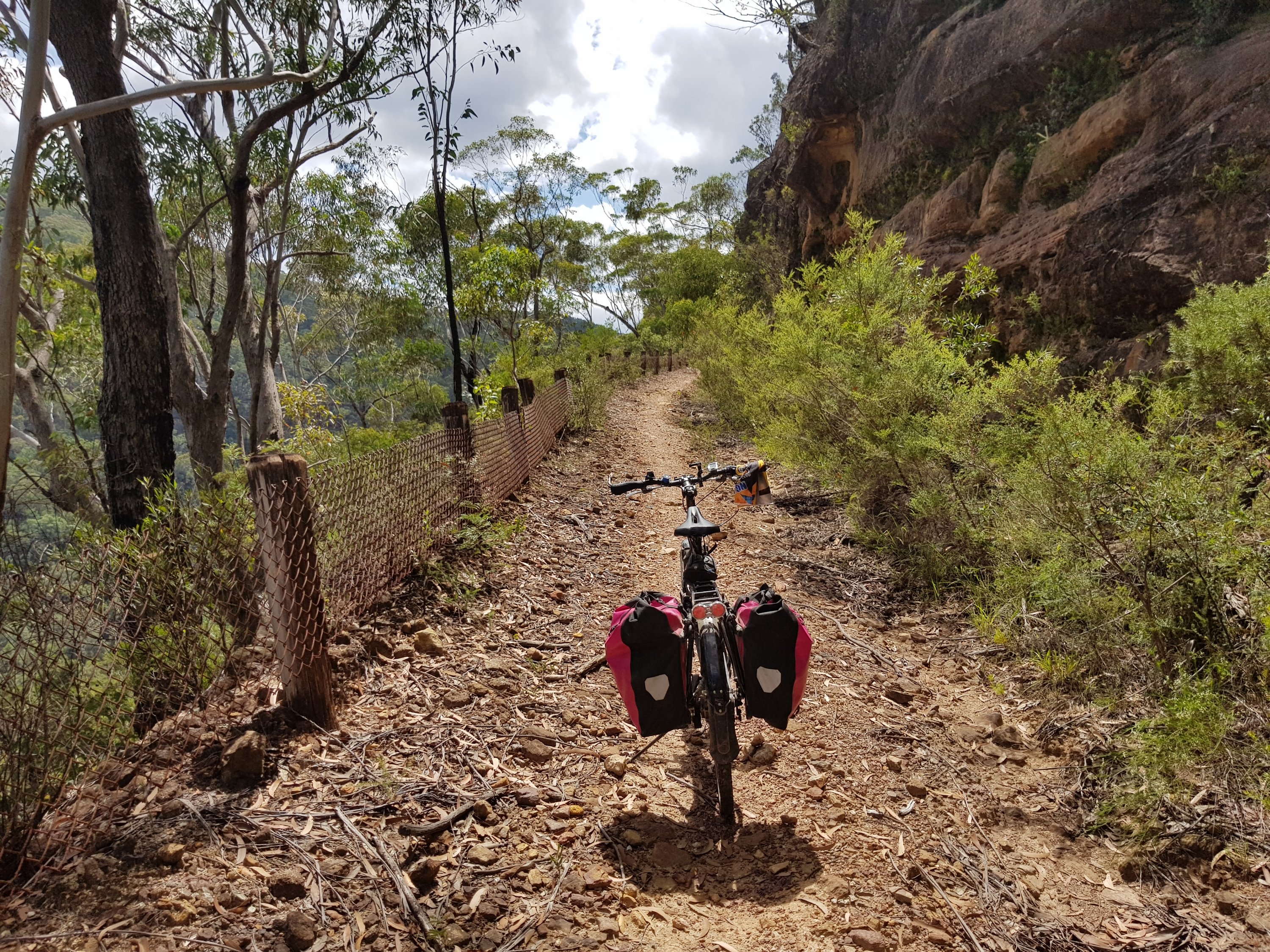
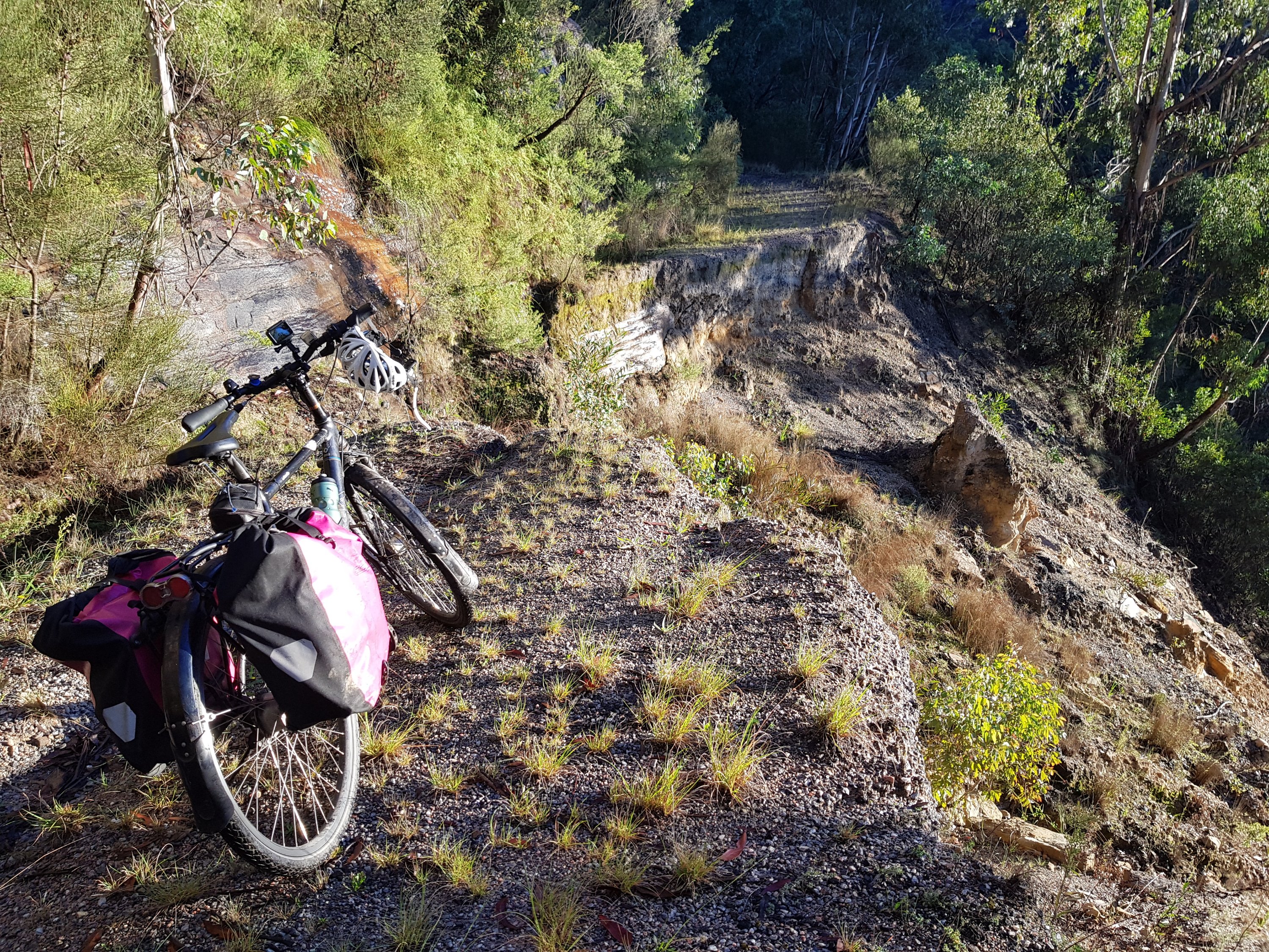
I decided to try to get to the bottom of the Koombanda Canyon, following a deserted mine road from Bell, and across a road slip to the base of the little Koombanda Creek. It was all rather adventurous, but in the end, a little too dangerous for me by myself. The boulders in the creek were covered in moss and slippery. I didn’t fancy a broken leg all by myself, so eventually I turned back.
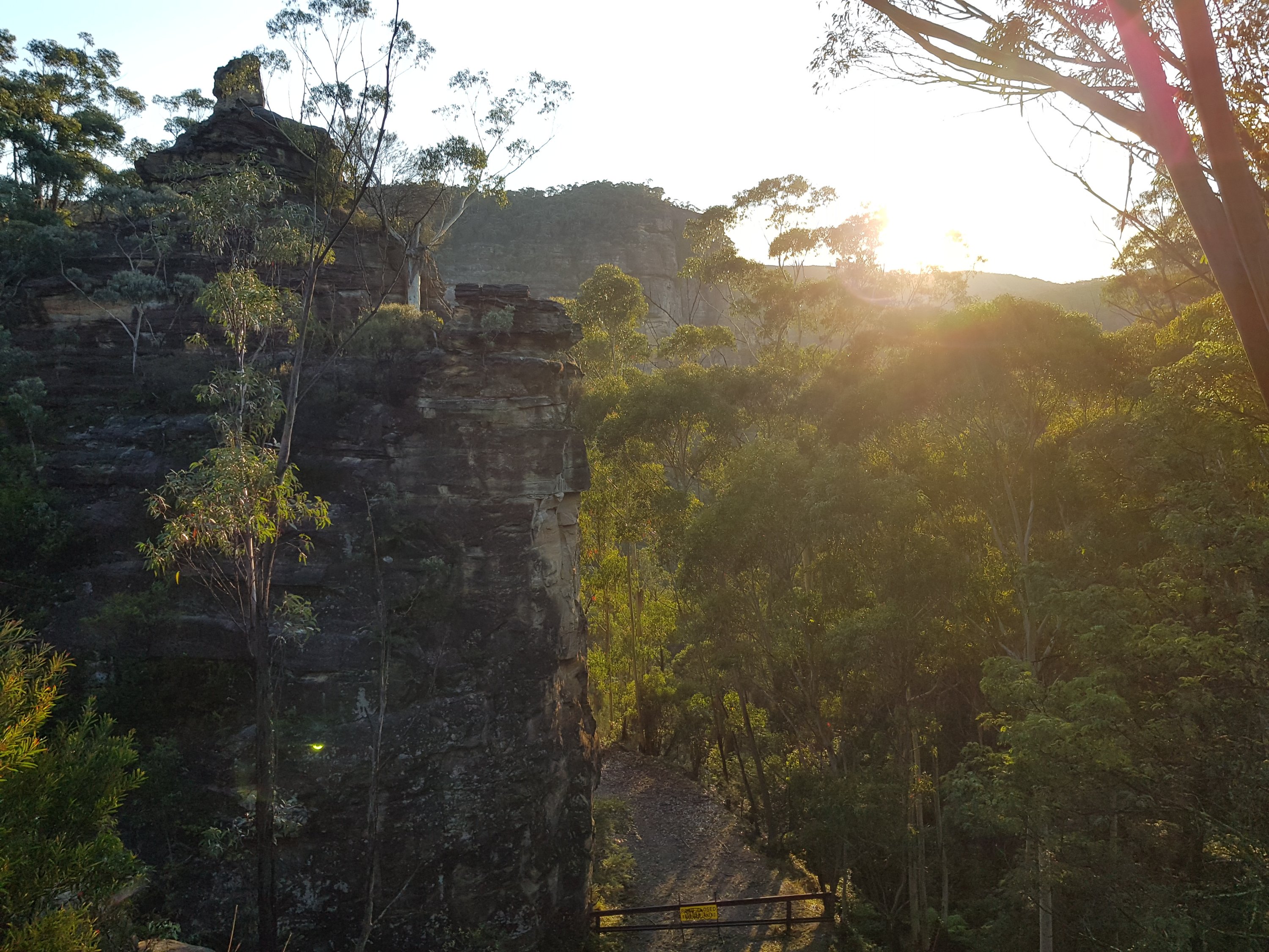
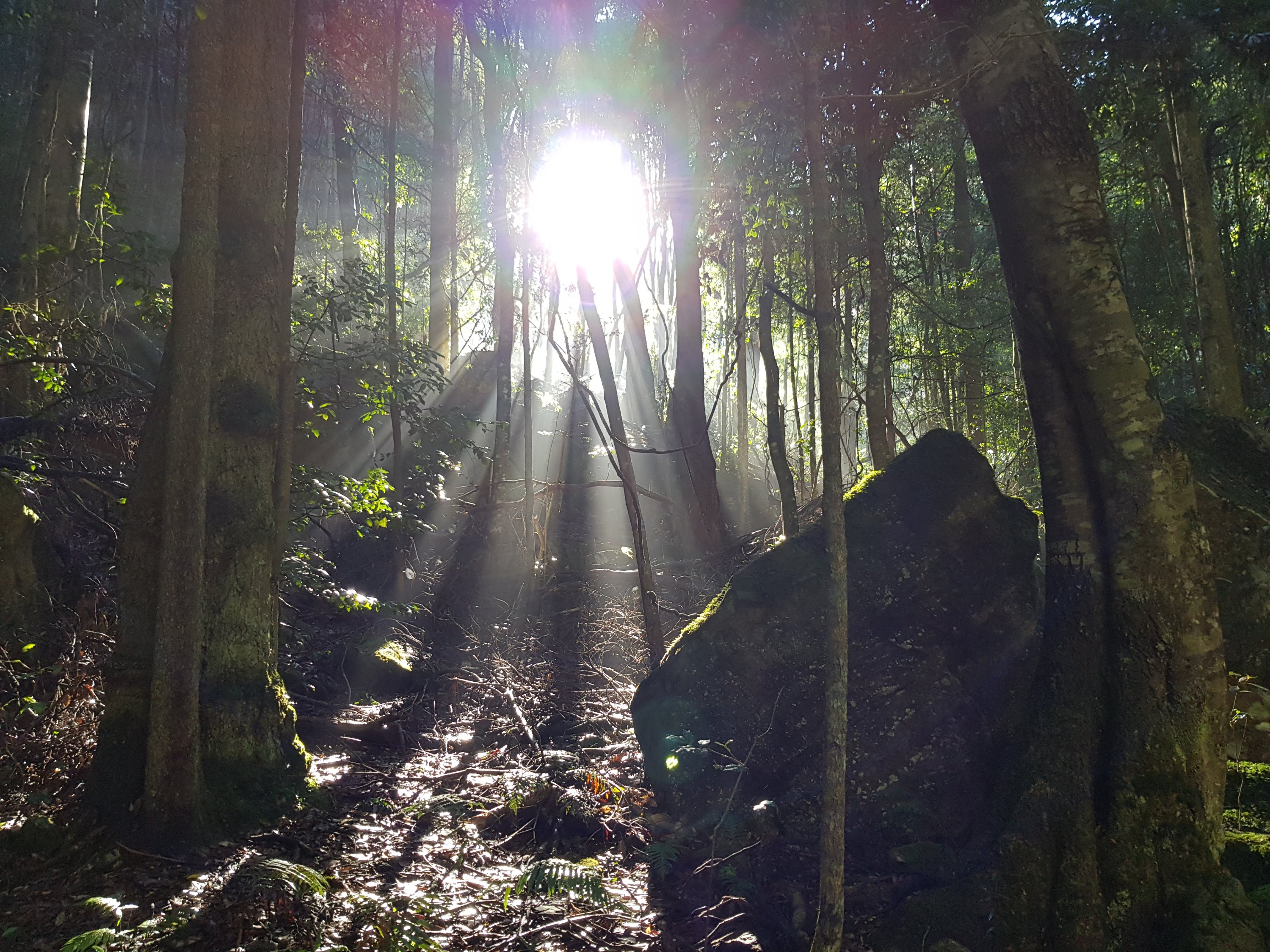
Part two of the trip was along the Mt Hay road, recommended by my Blue Mountains friends Howard and Judith. It was a lovely ride and then walk out to Lockley’s Pylon with a spectacular view out over the Gross Valley.
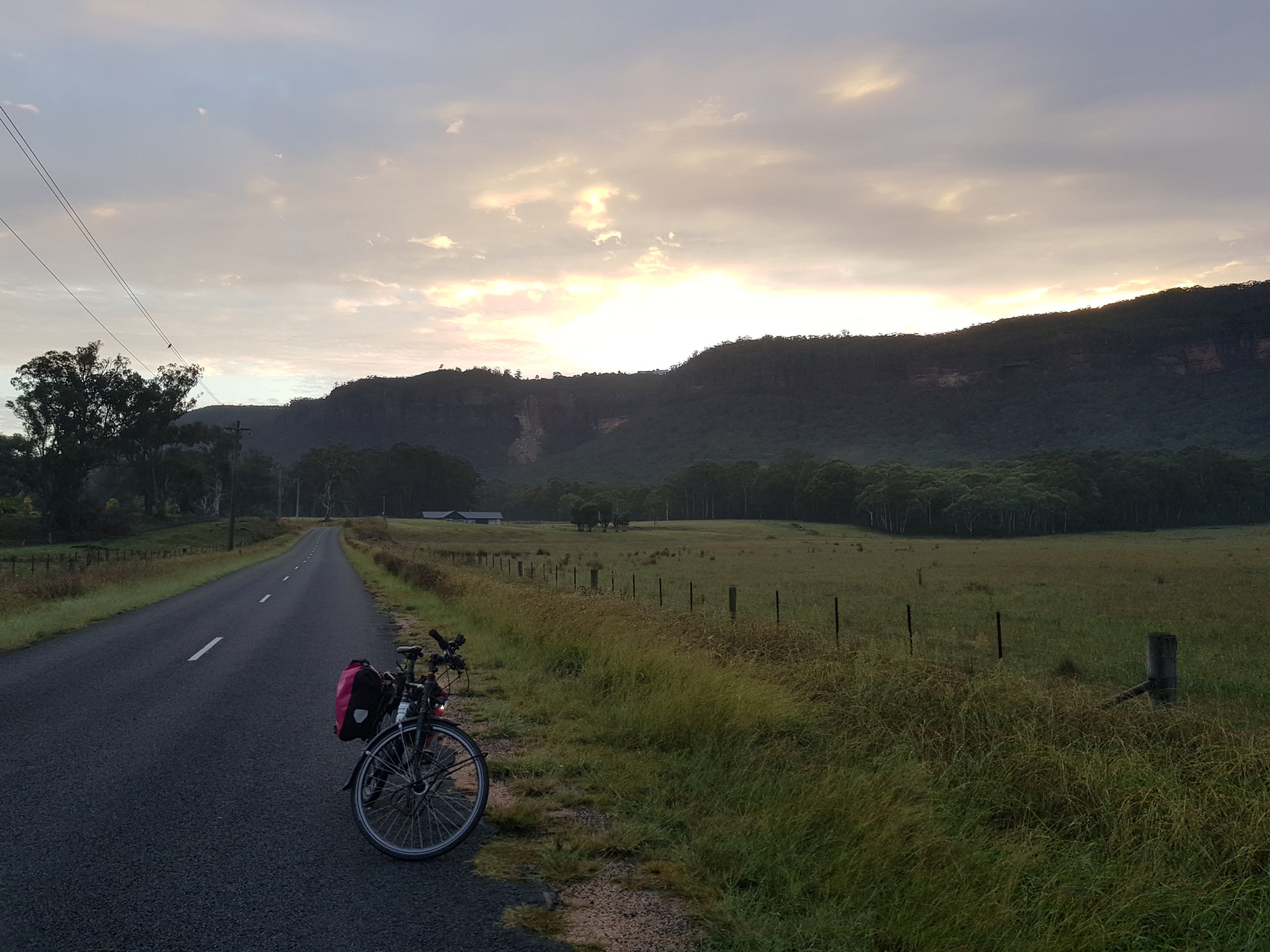
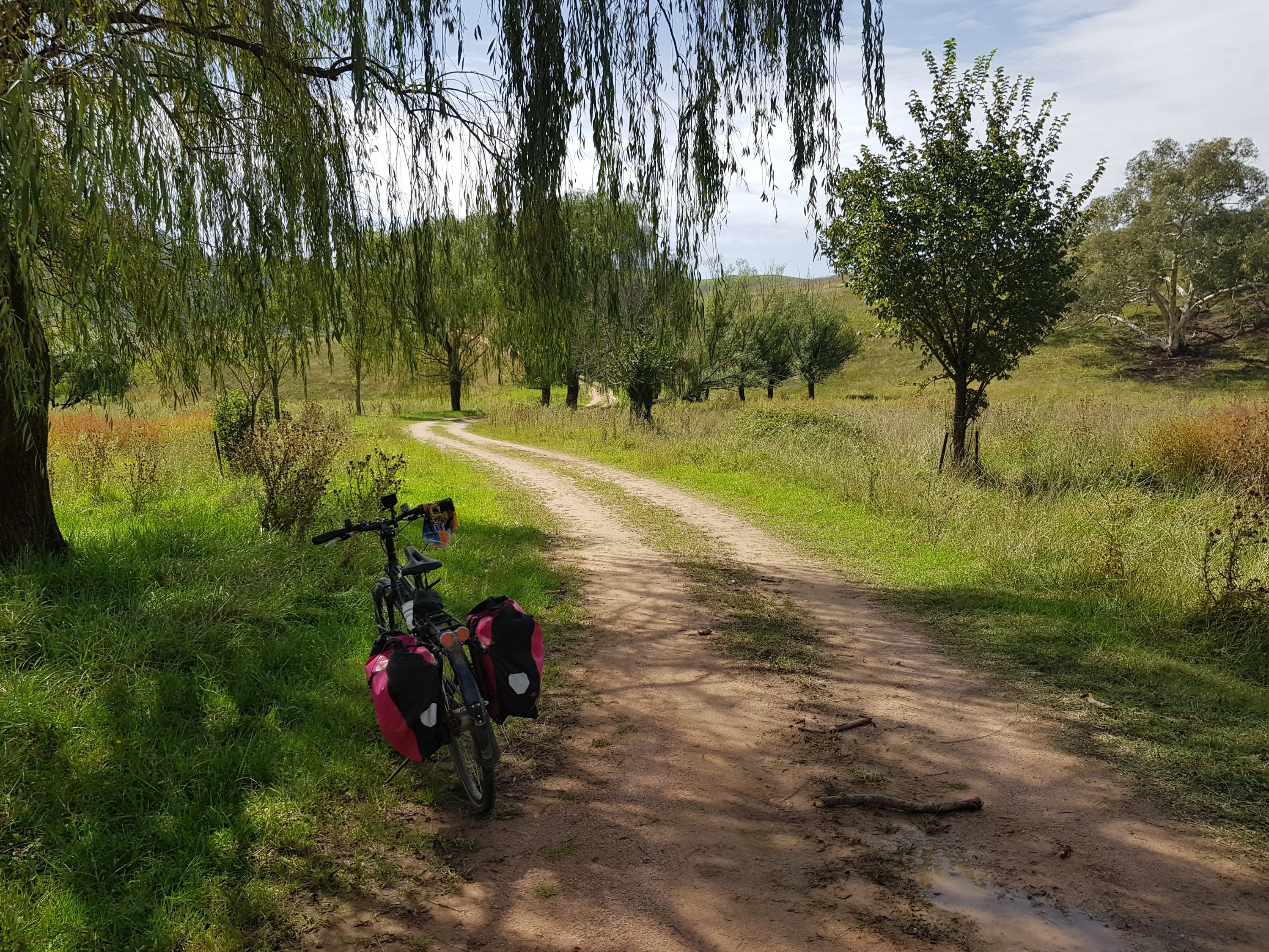
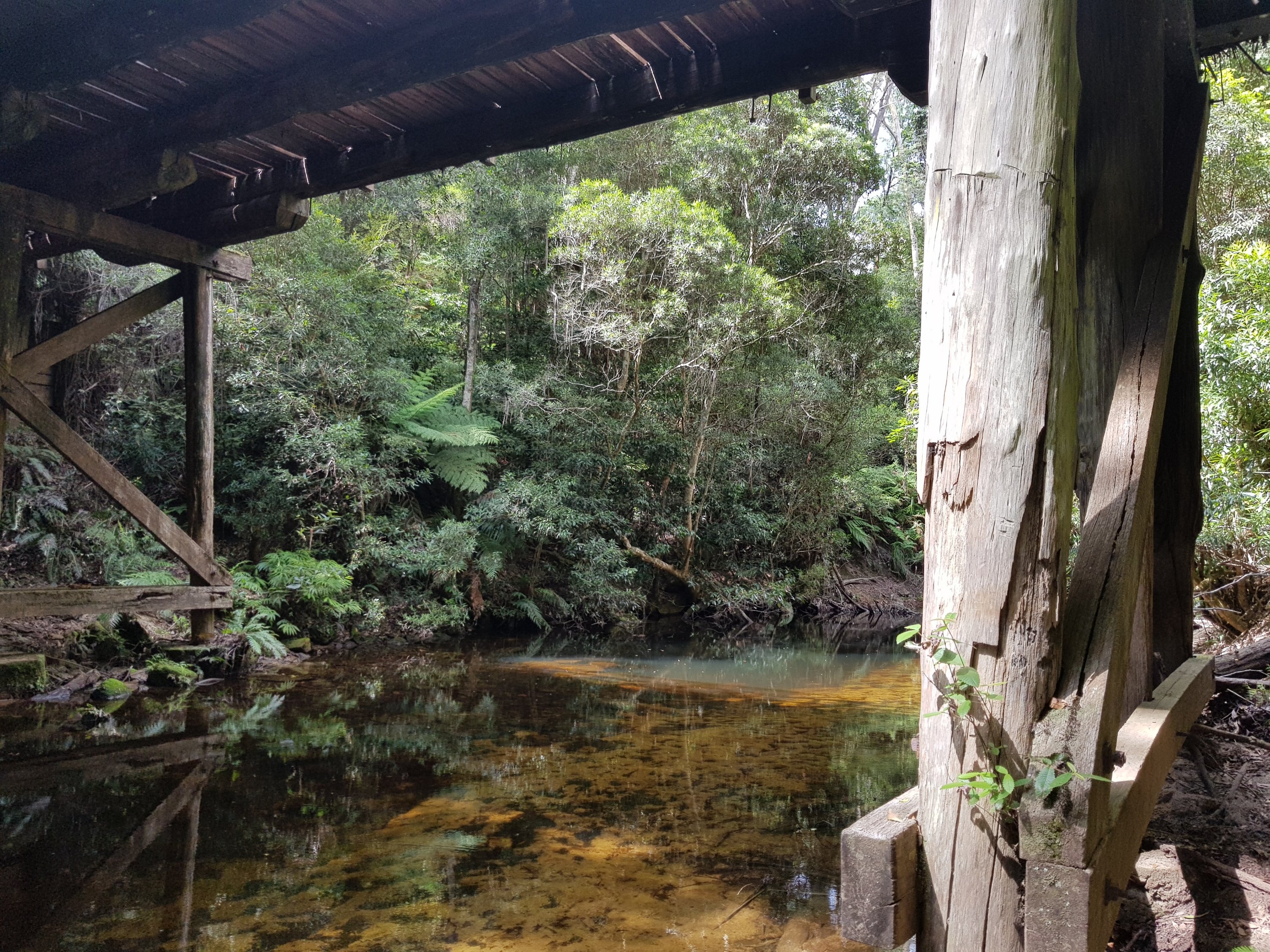
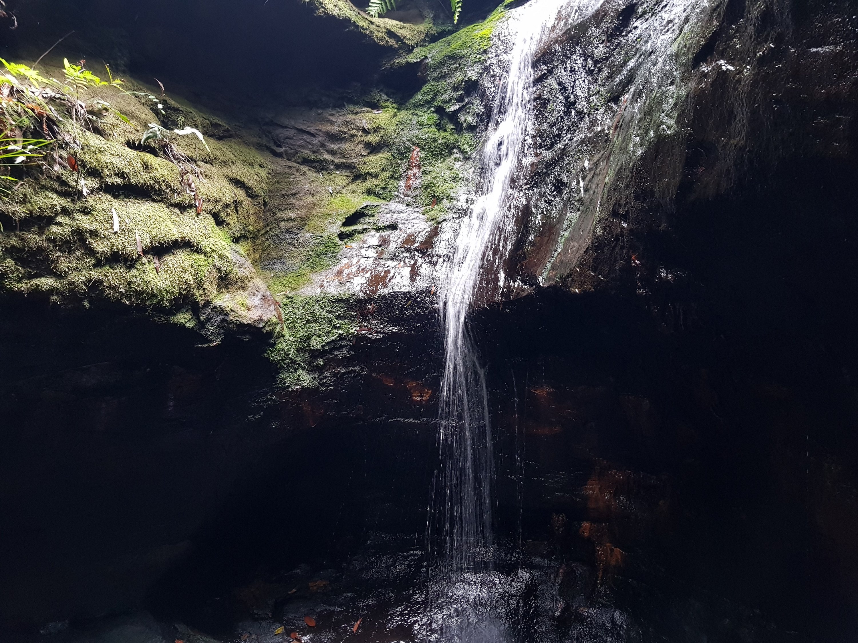
Early morning at Koombanda Creek
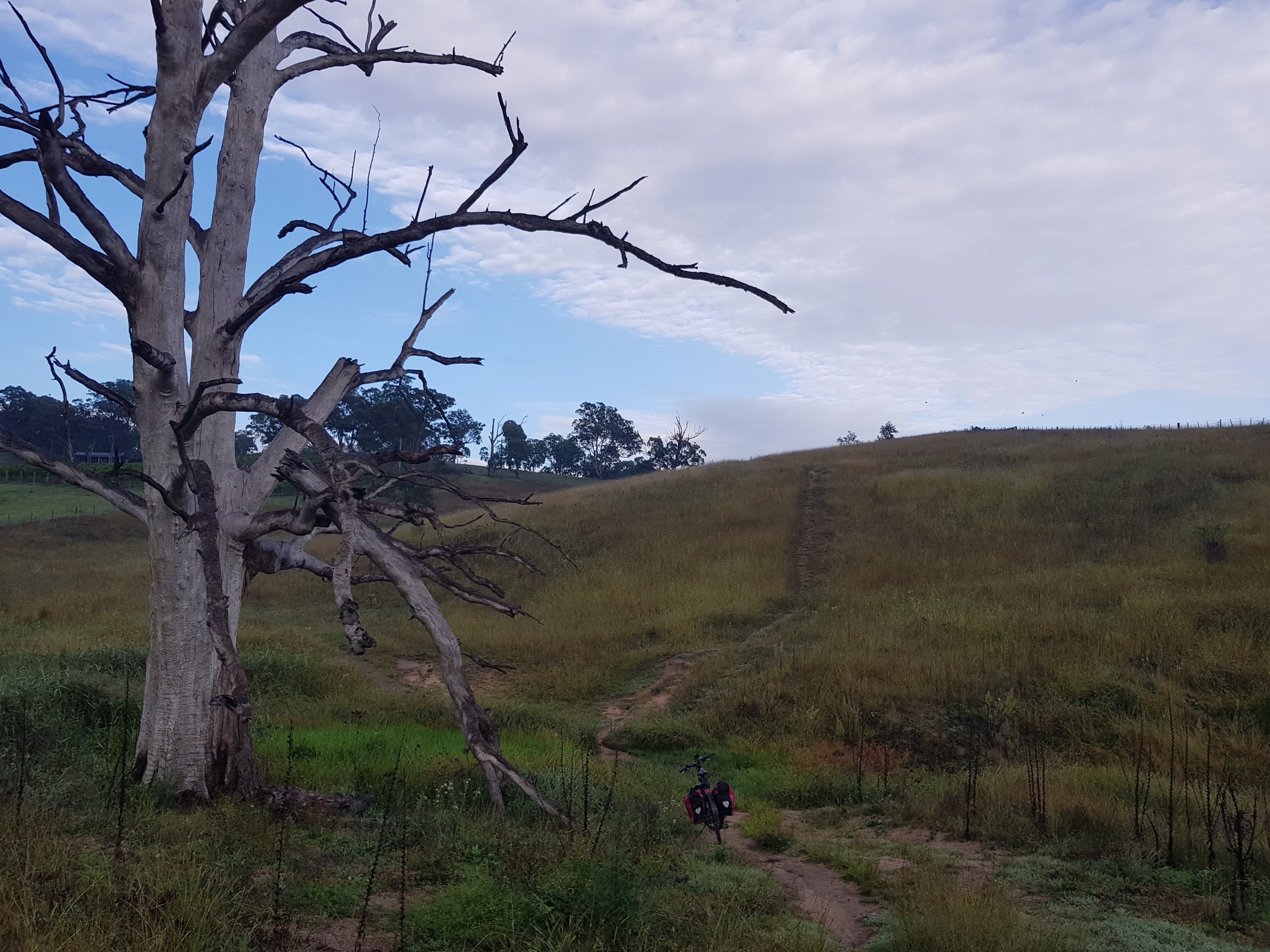
The little rock slip I needed to navigate
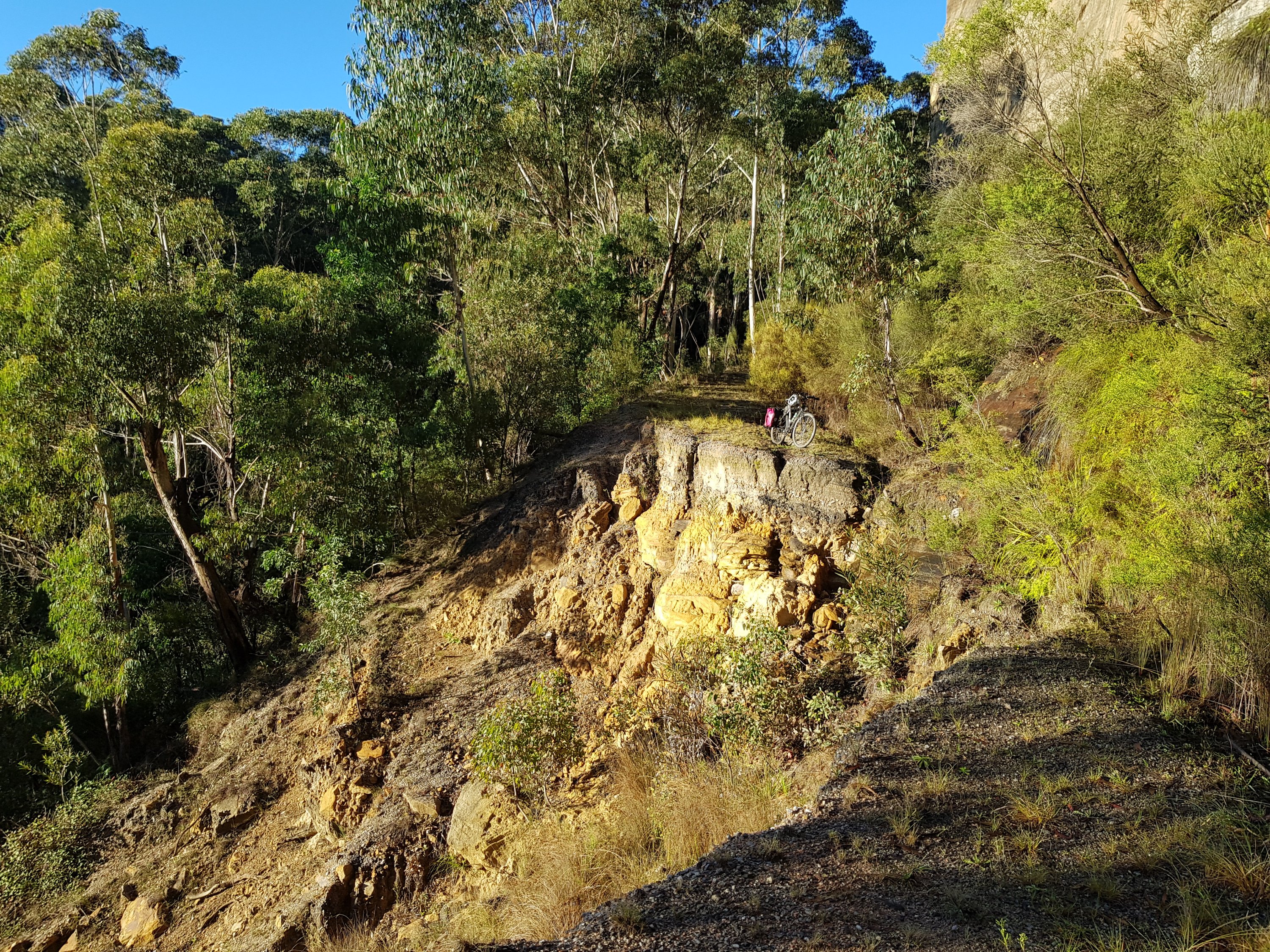
The little rock slip I needed to navigate
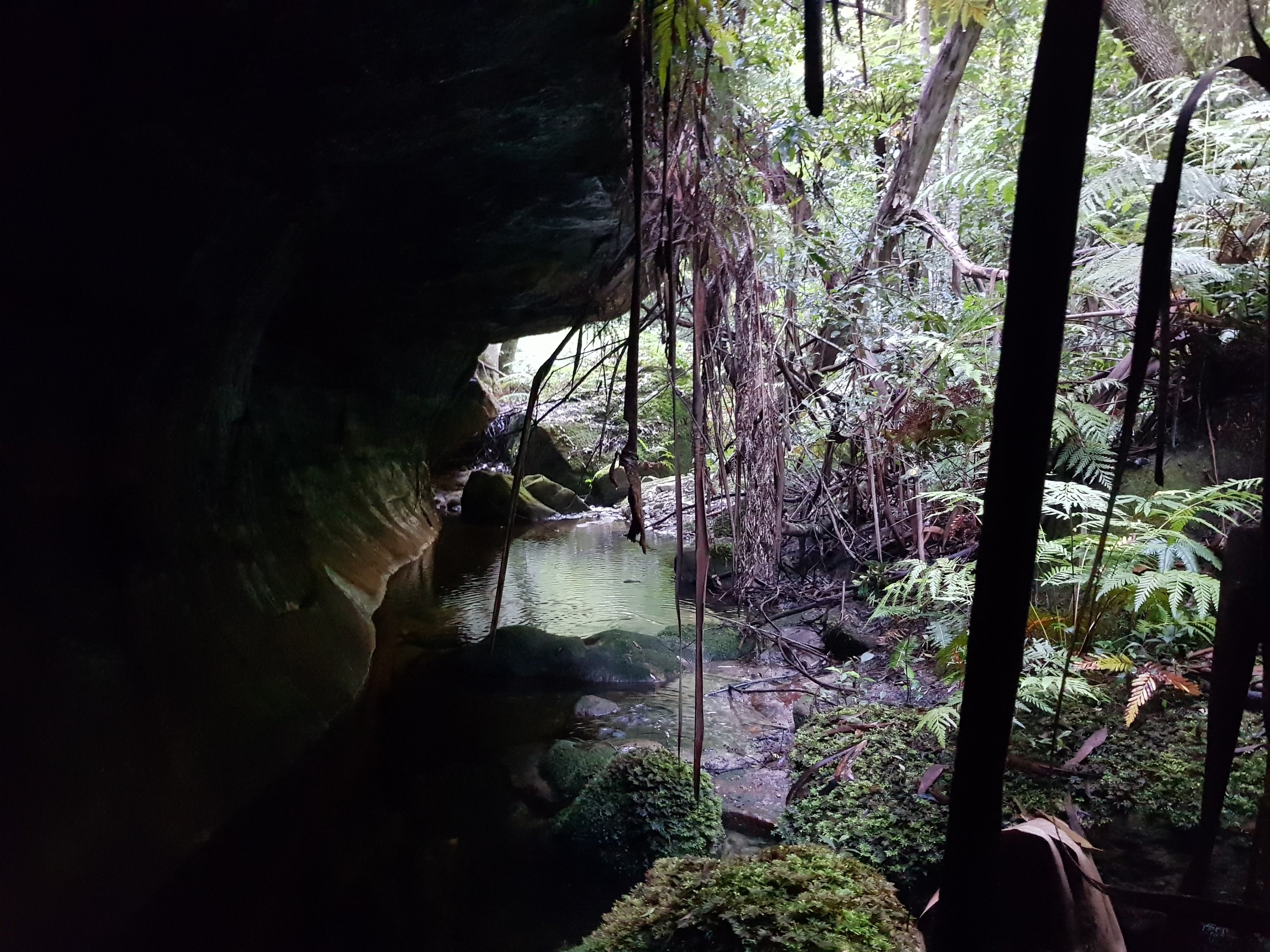
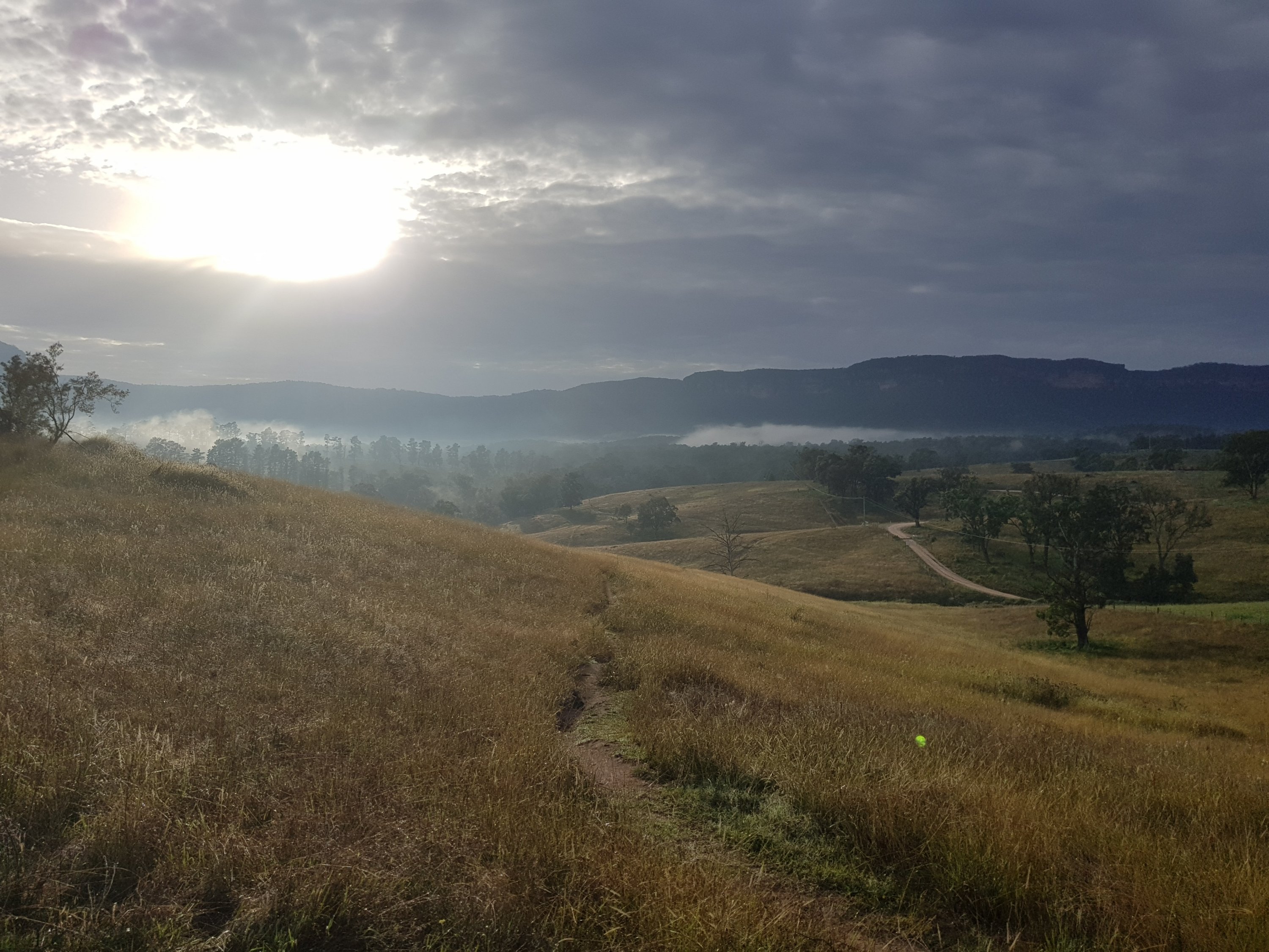
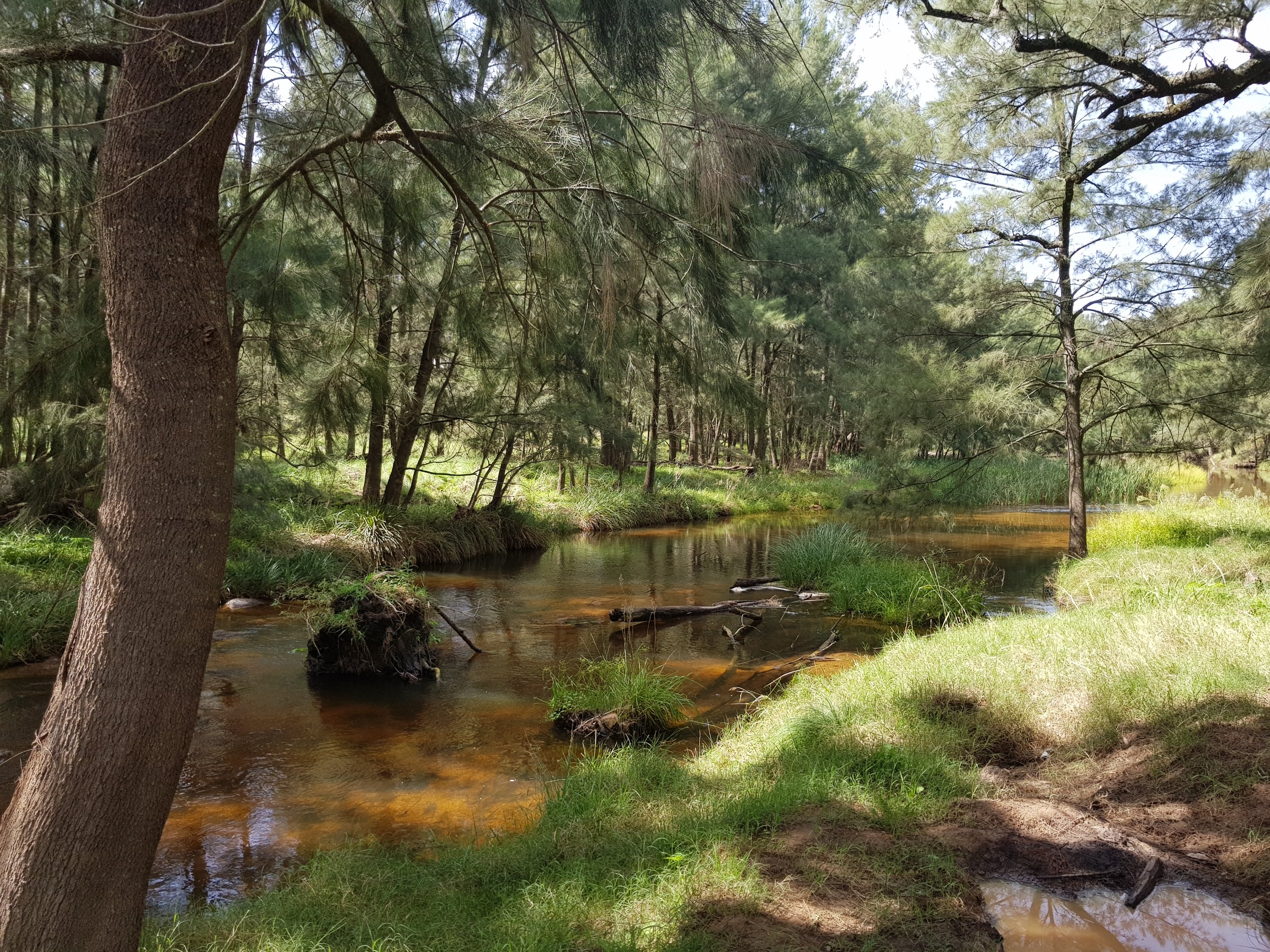
Koomdanda Creek

Koomdanda Creek
Koomdanda Creek
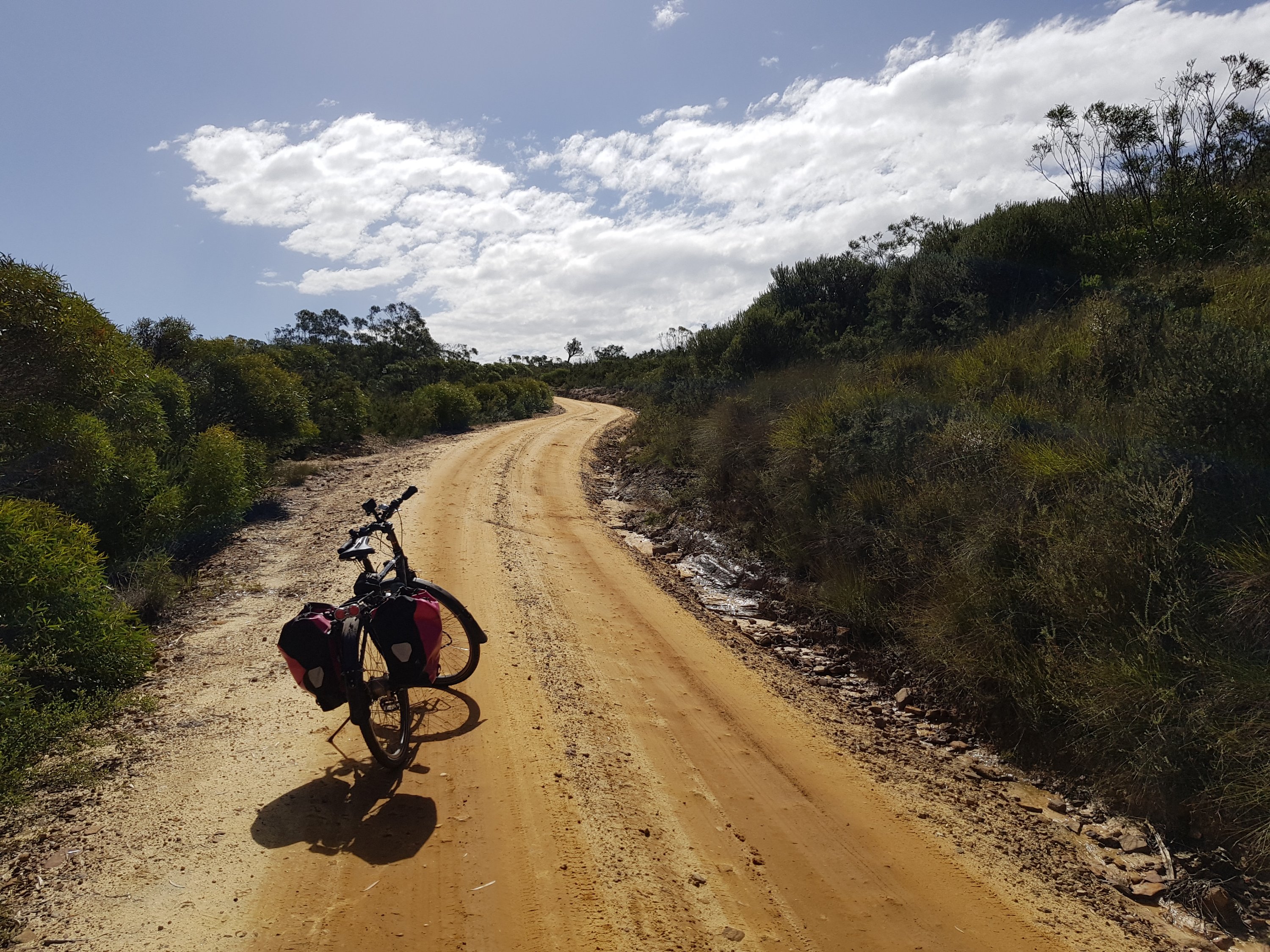
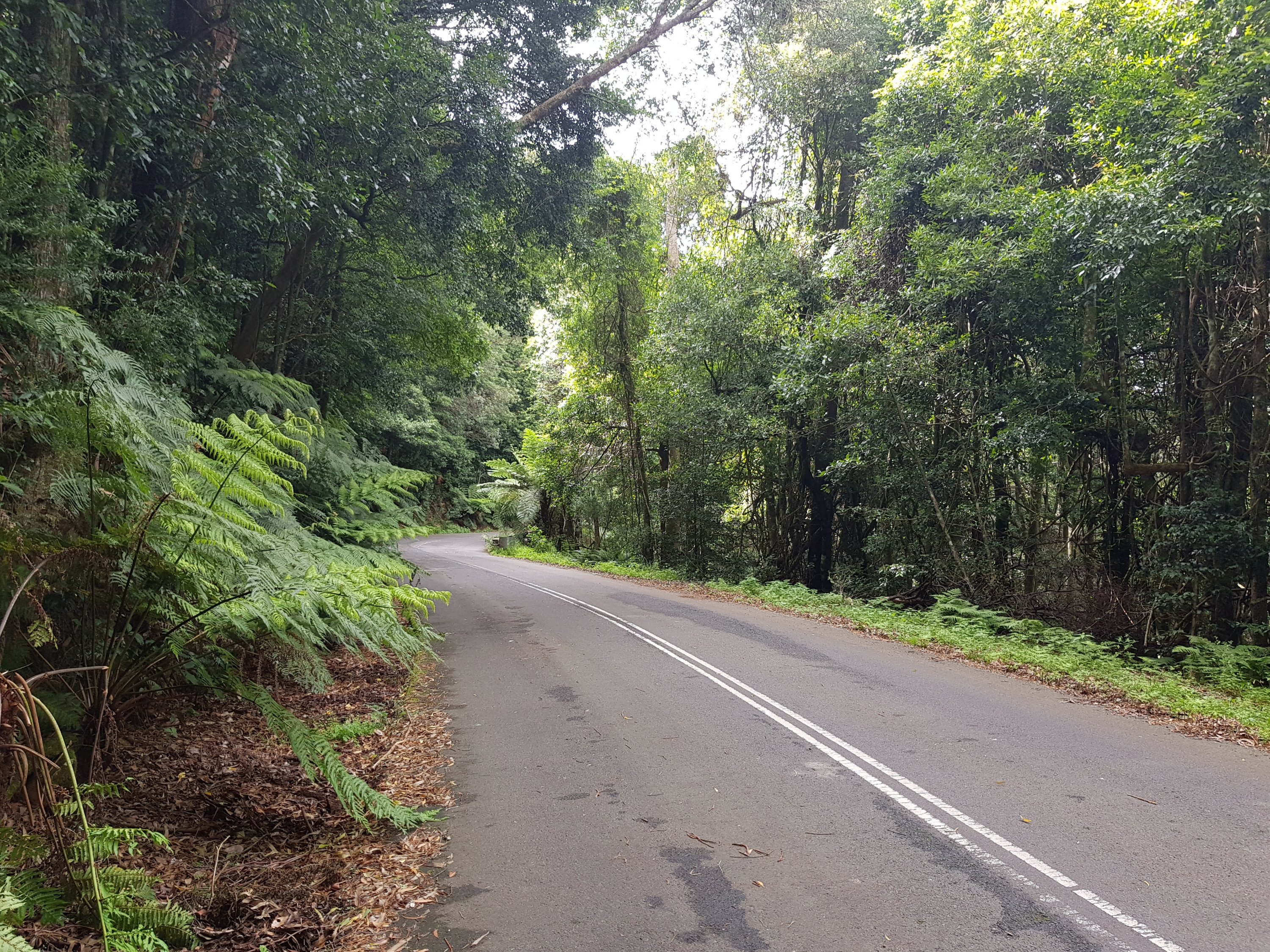
Mt Hay Road
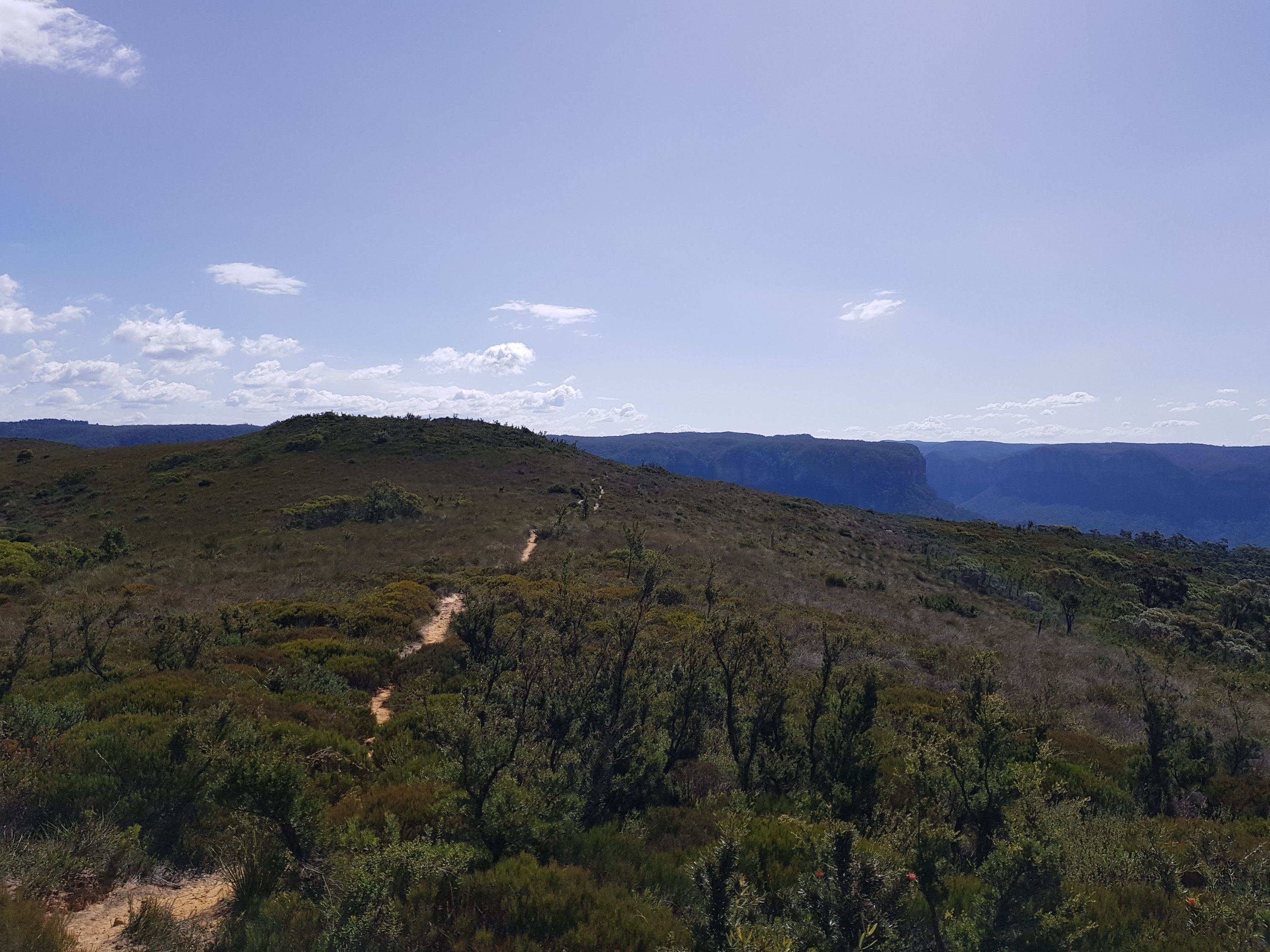
Towards Lockley’s Pylon
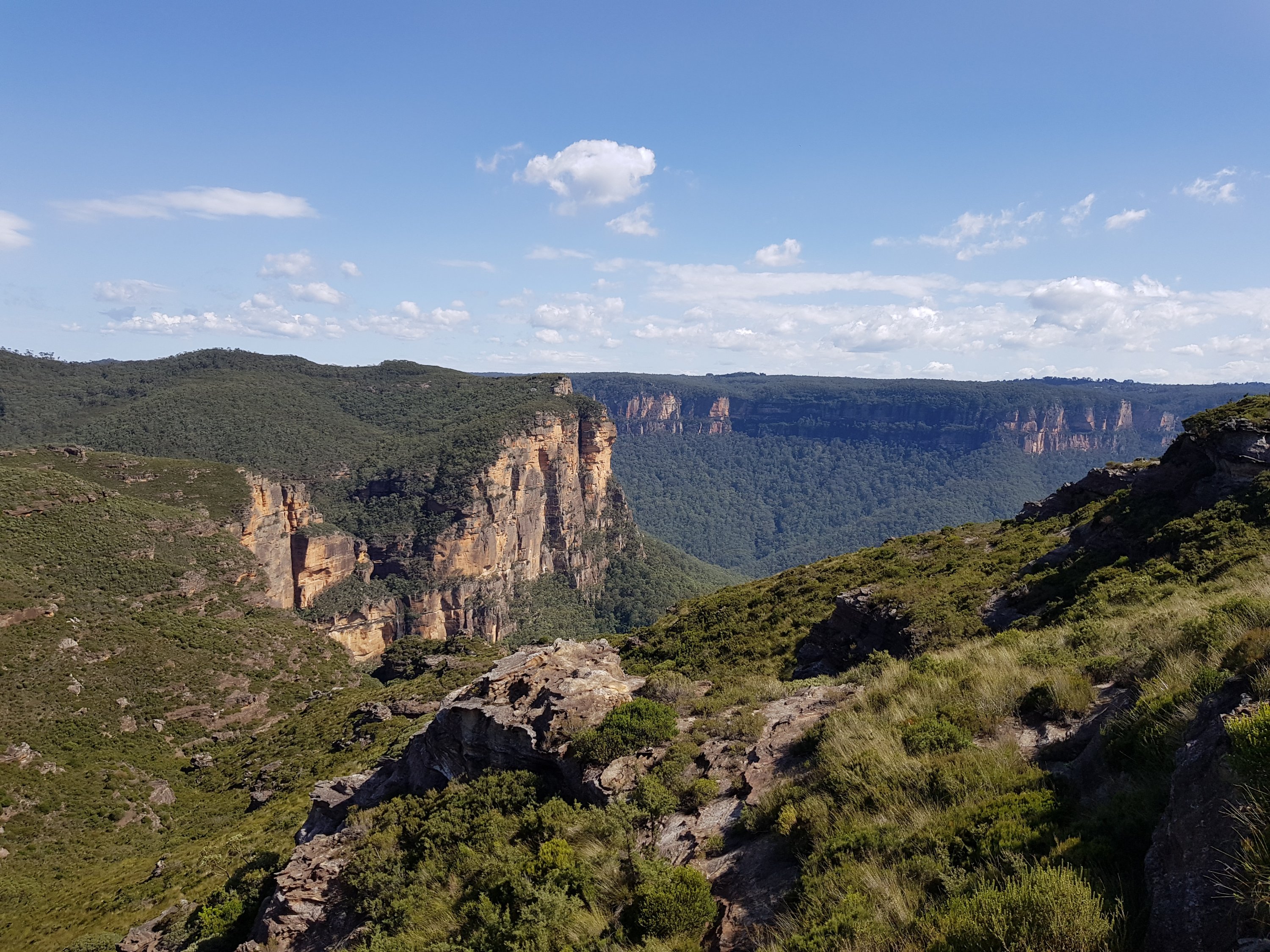
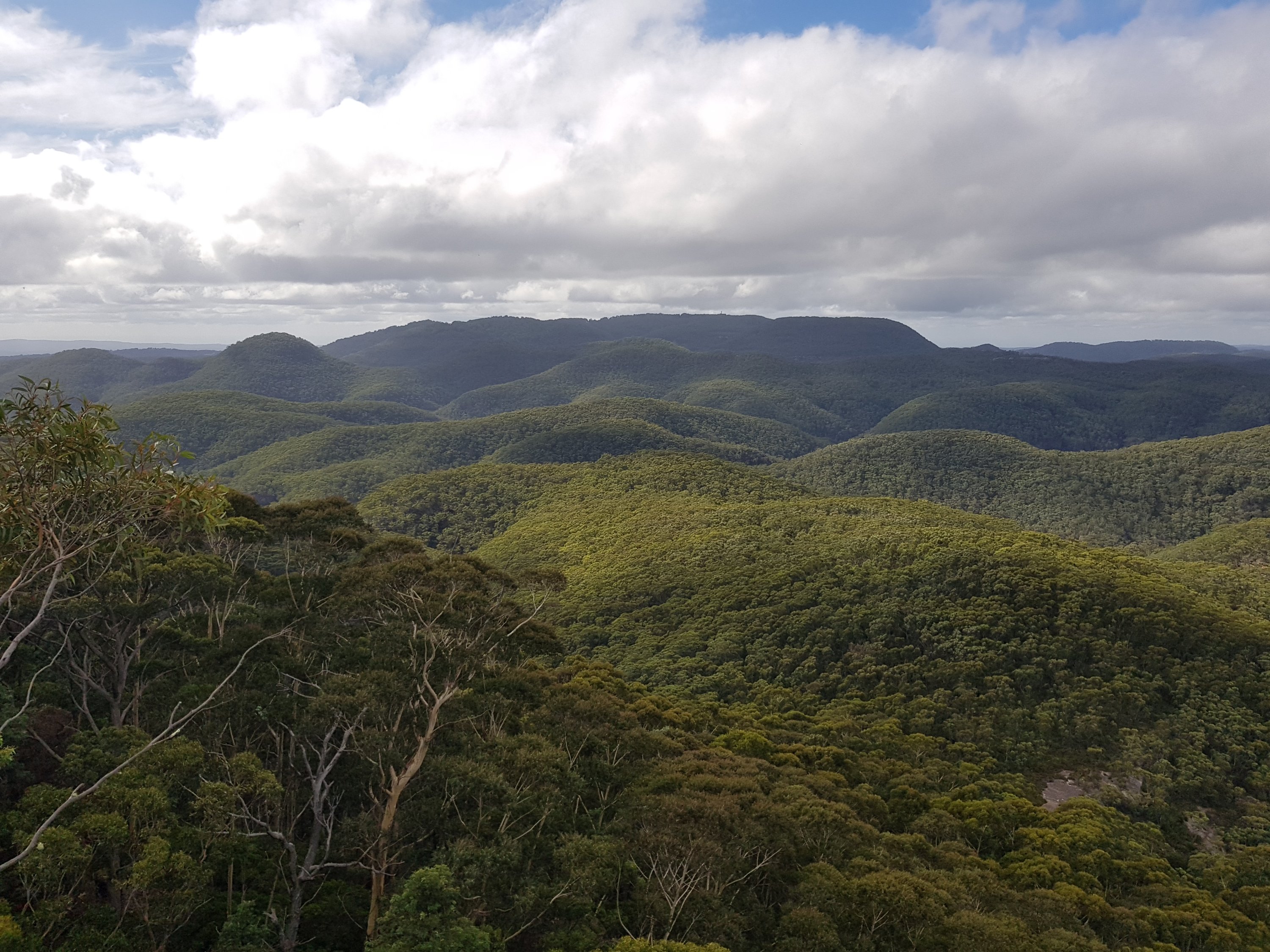
View from Lockley’s Pylon
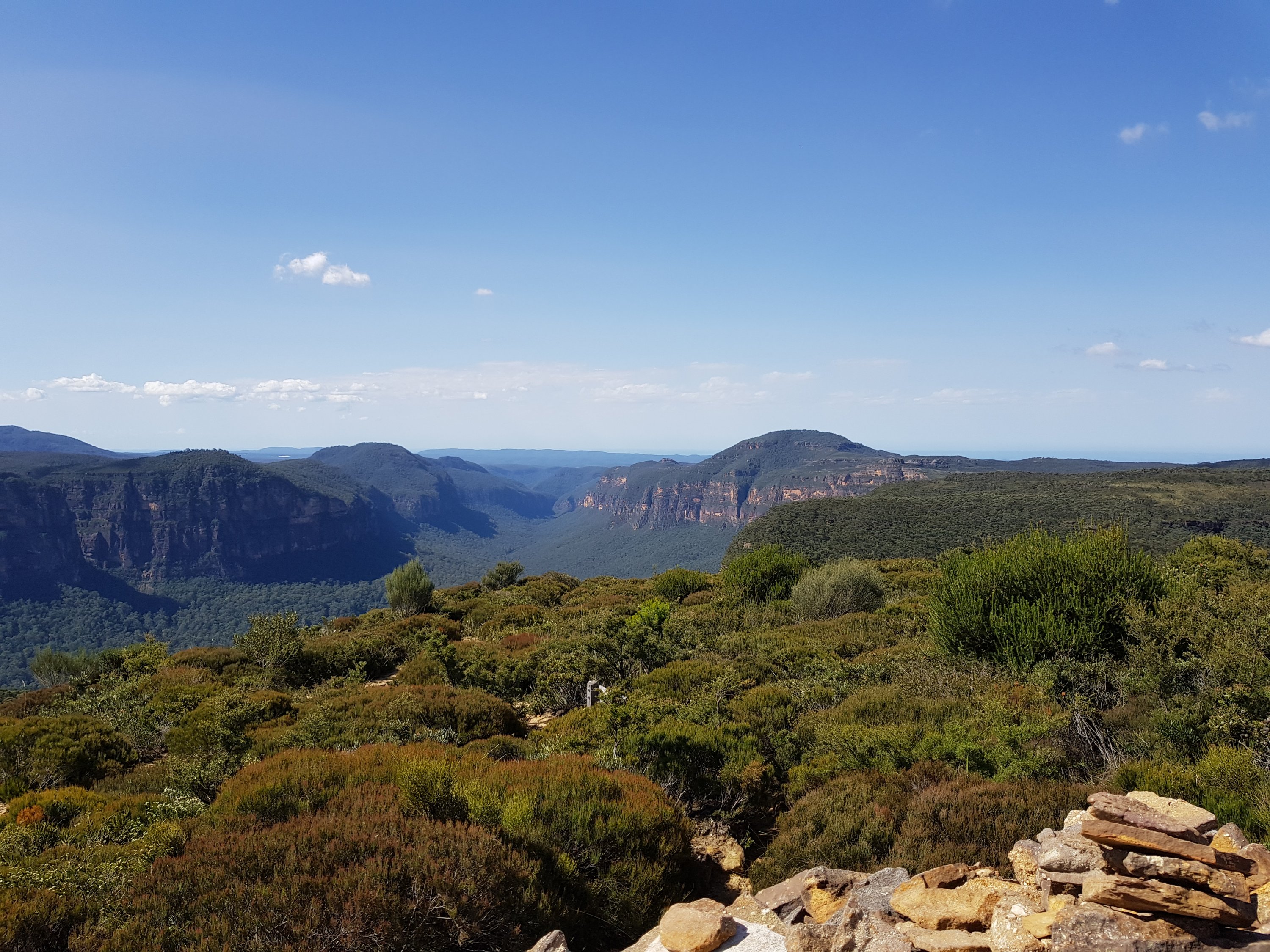
View from Lockley’s Pylon
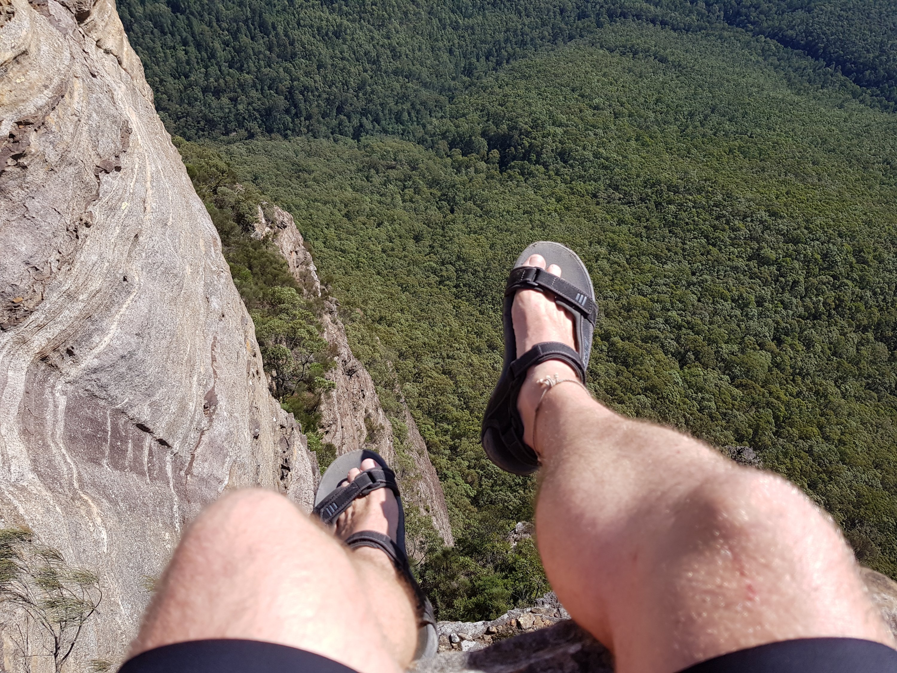
View from Lockley’s Pylon
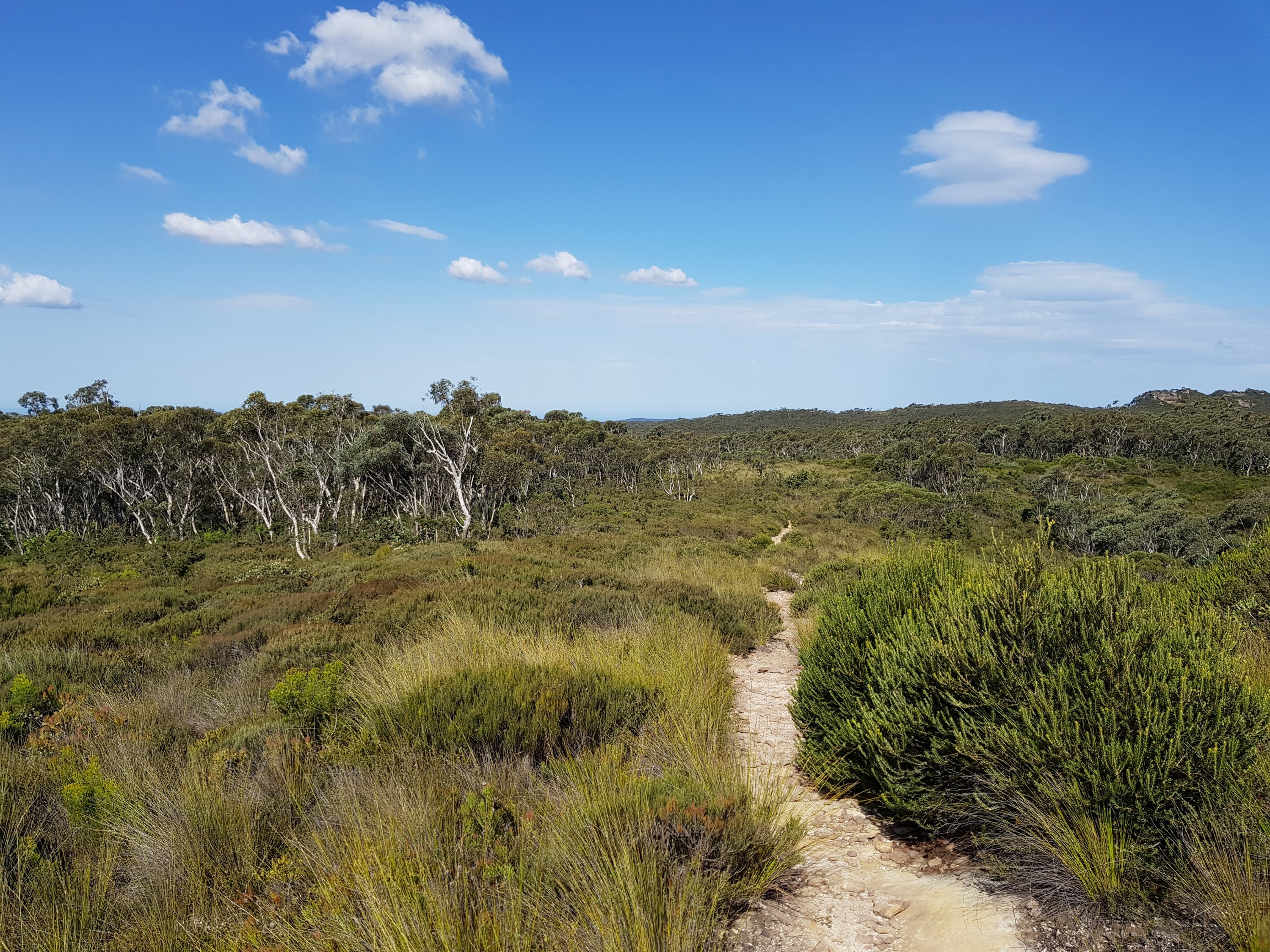
Road from Lockley’s Pylon